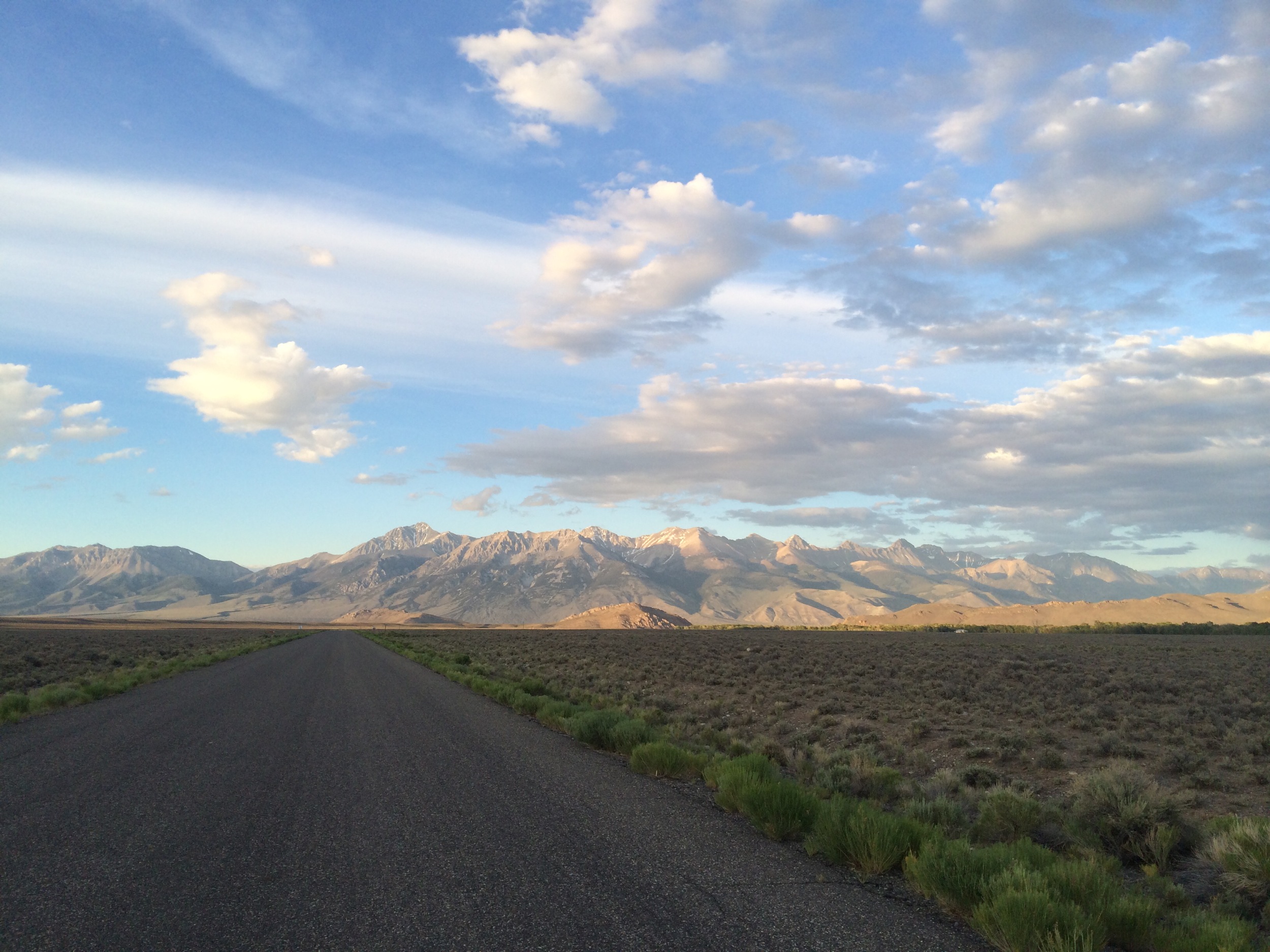
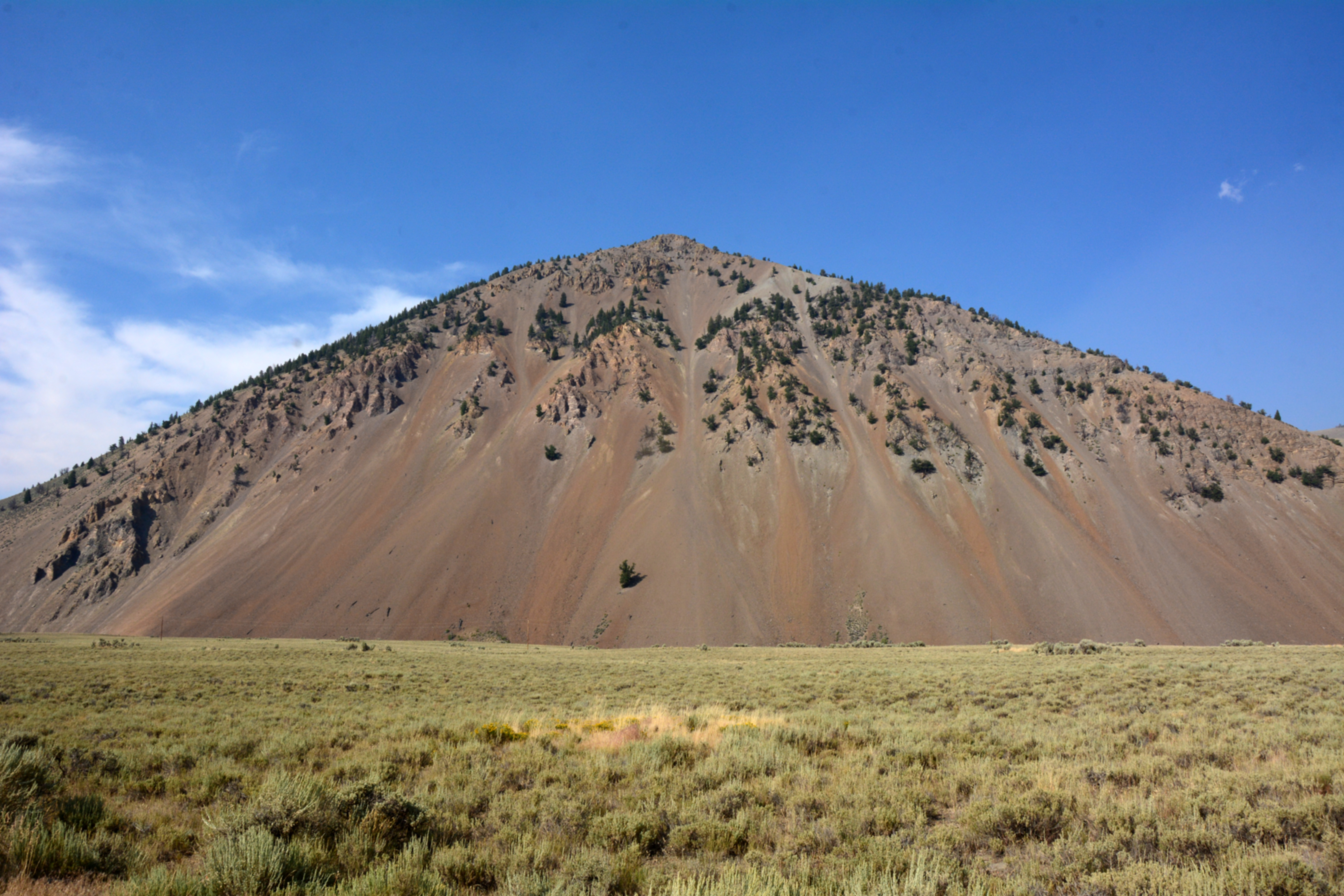
Elevation of Twin Bridges Creek Rd, Mackay, ID, USA
Location: United States > Idaho > Custer County > Mackay >
Longitude: -114.12856
Latitude: 43.9665745
Elevation: 2146m / 7041feet
Barometric Pressure: 78KPa
Elevation Map:
Satellite Map:
Related Photos:

20181019-FS-SCNF-JJS-001.jpg

Telephoto view up Fall Creek Canyon from near mouth of its Left Fork

Hyndman & Me

Trail Creek Road: mountain big sagebrush steppe

Trail Creek Road: Wyoming big sagebrush steppe
Lost River Range
Shunned and Isolated Tree (1416)

Sawtooth Mountains, Idaho, USA

Snaky Canyon Formation (Pms)

random downstream
Topographic Map of Twin Bridges Creek Rd, Mackay, ID, USA
Find elevation by address:

Places near Twin Bridges Creek Rd, Mackay, ID, USA:
Wild Horse Creek Ranch
Copper Basin Camp
East Fork Road
Duncan's Peak
7000 E Fork Rd
Boundary Campground
404 Fairway Loop
Chocolate Gulch Road
Chocolate Gulch Road
Chocolate Gulch Road
Chocolate Gulch Road
White Clouds
Sun Valley
Sun Valley Ski Club
Village Way, Hailey, ID, USA
Angani Way
Sun Valley Lodge
109 Angani Way
420 Juniper Rd
445 Clubhouse Dr
Recent Searches:
- Elevation of Corso Fratelli Cairoli, 35, Macerata MC, Italy
- Elevation of Tallevast Rd, Sarasota, FL, USA
- Elevation of 4th St E, Sonoma, CA, USA
- Elevation of Black Hollow Rd, Pennsdale, PA, USA
- Elevation of Oakland Ave, Williamsport, PA, USA
- Elevation of Pedrógão Grande, Portugal
- Elevation of Klee Dr, Martinsburg, WV, USA
- Elevation of Via Roma, Pieranica CR, Italy
- Elevation of Tavkvetili Mountain, Georgia
- Elevation of Hartfords Bluff Cir, Mt Pleasant, SC, USA