Elevation of Chilly, ID, USA
Location: United States > Idaho > Custer County >
Longitude: -113.87892
Latitude: 44.0776943
Elevation: 1924m / 6312feet
Barometric Pressure: 80KPa
Elevation Map:
Satellite Map:
Related Photos:
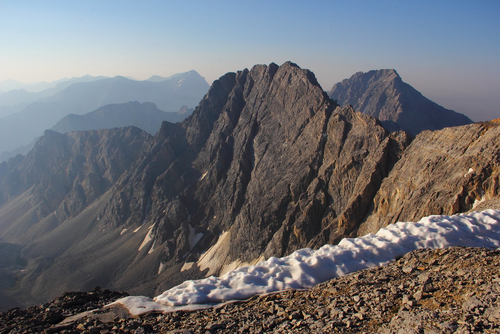
Borah Peak Saddle View 11,800ft.
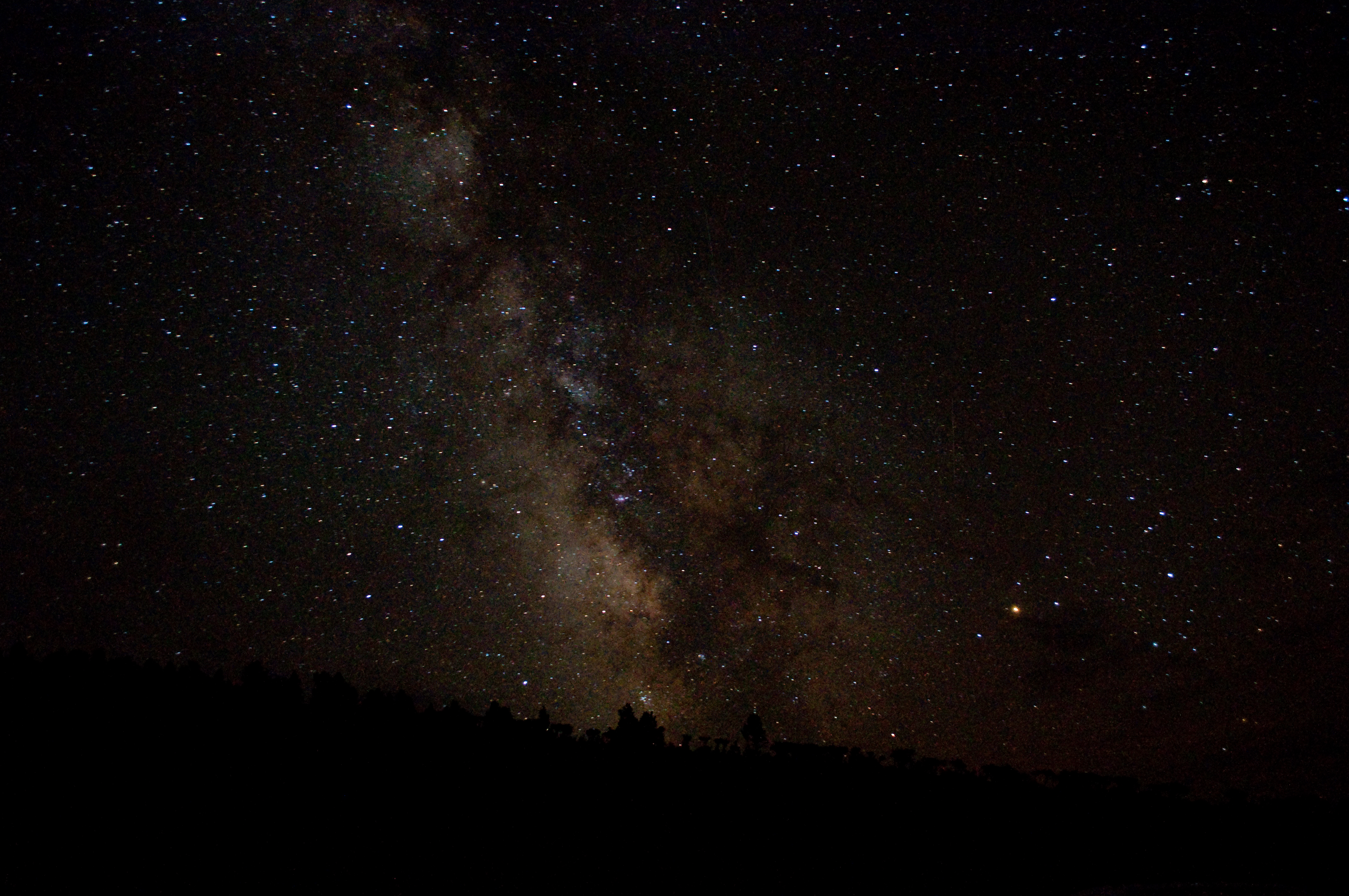
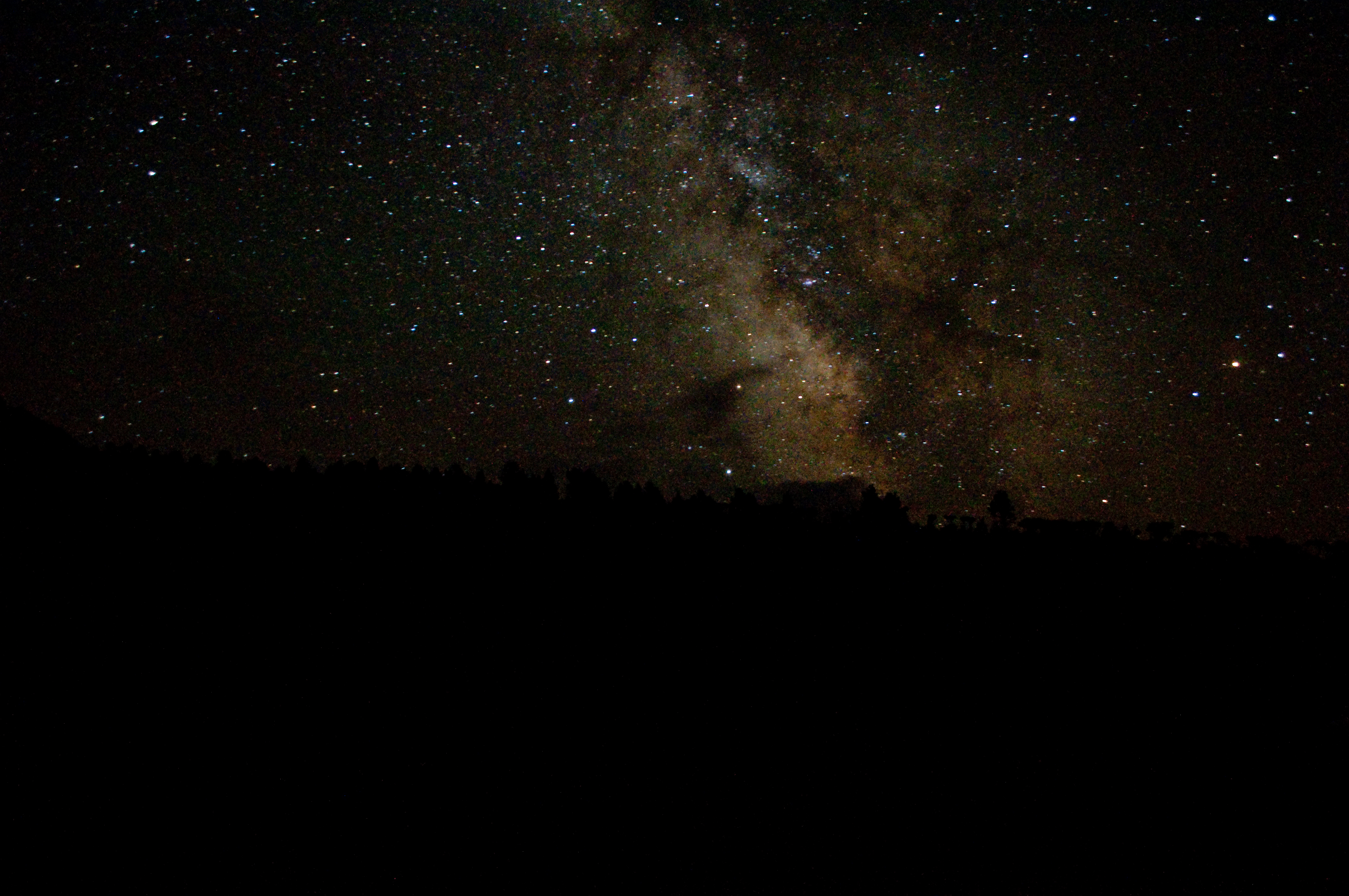
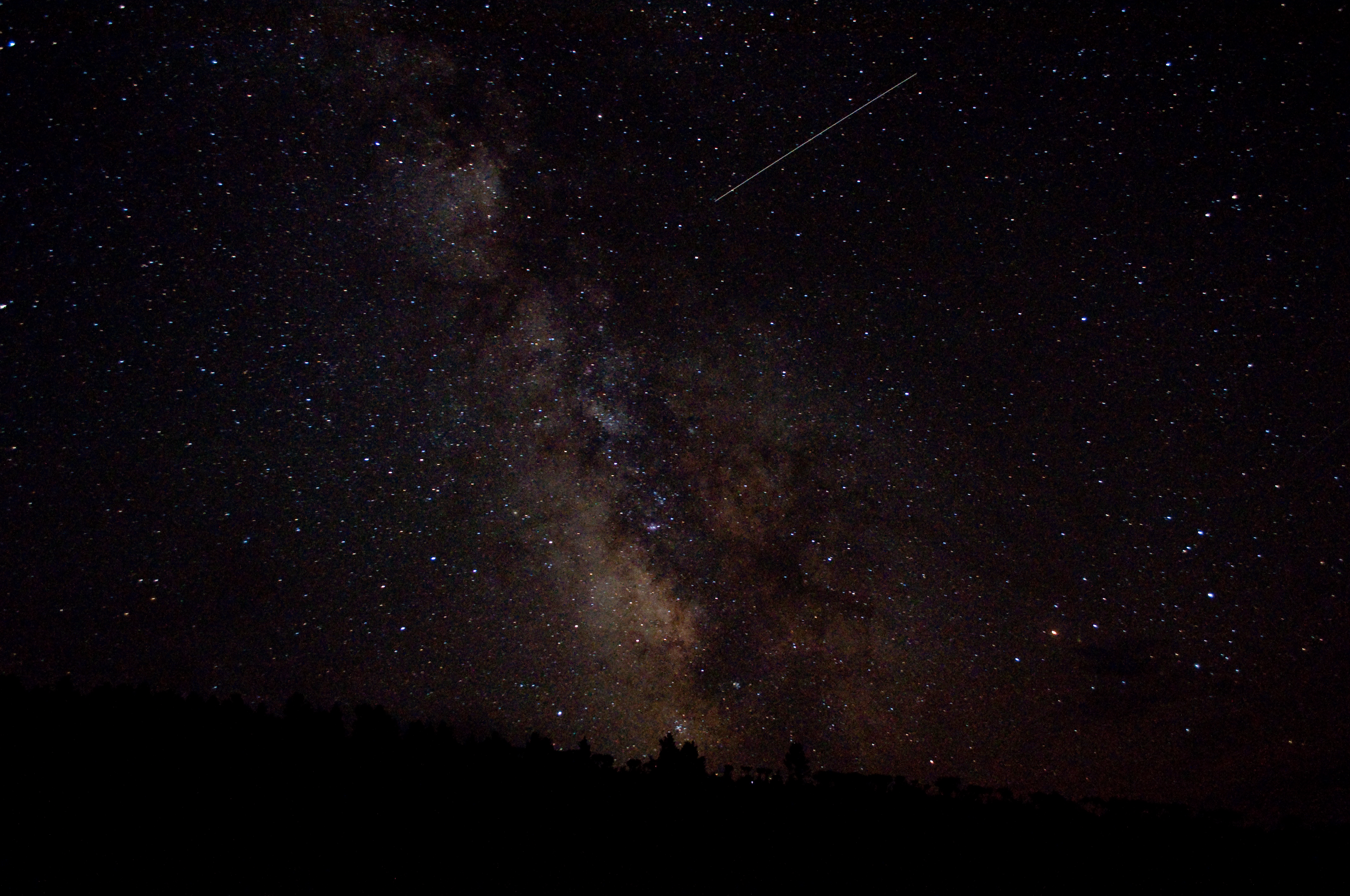
Idaho Milky Way

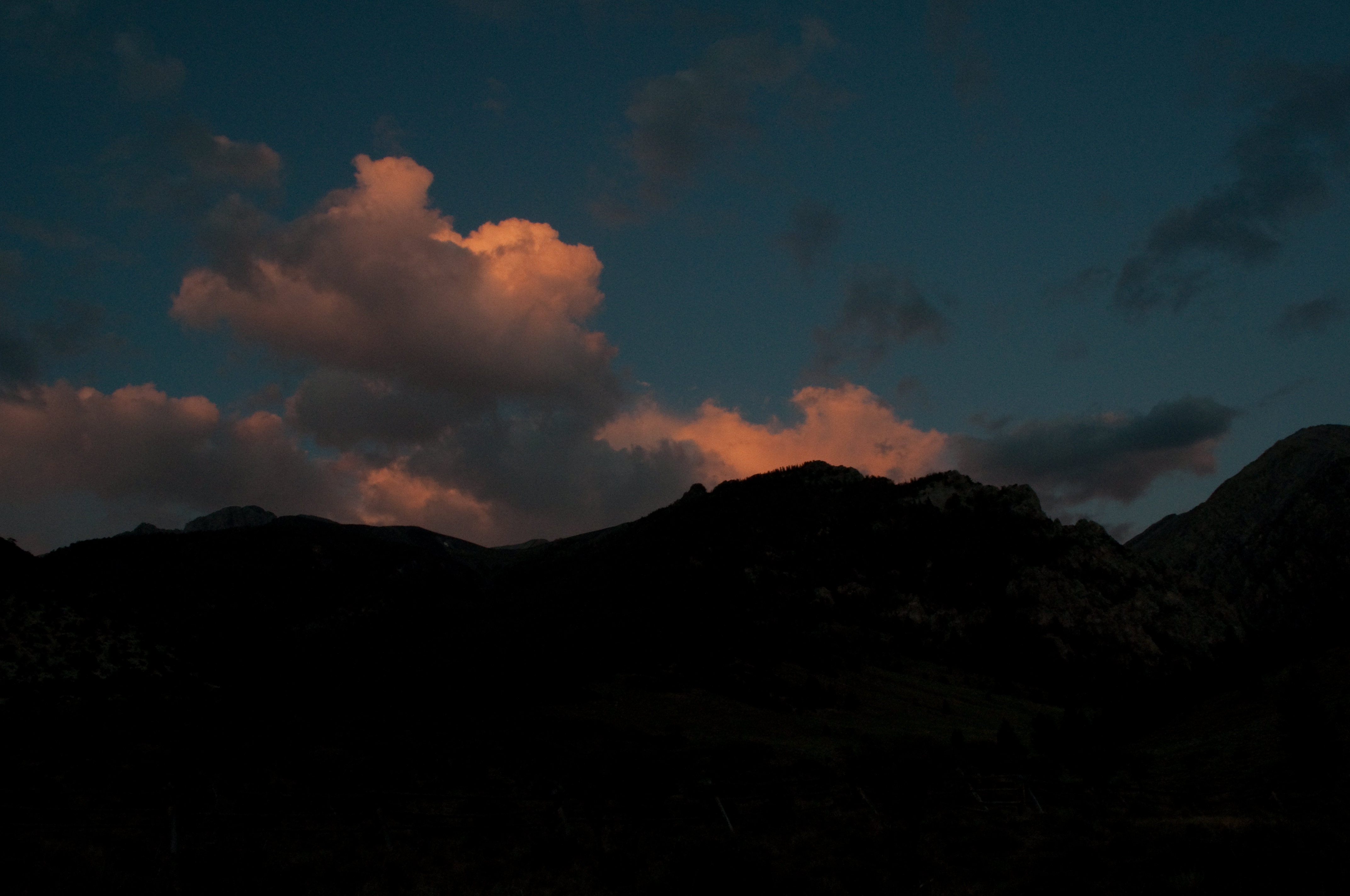
Sunset over the peaks
View to the south
Lost River silhouette

The Storm King
Satellite?
Borah Summit View

Borah Peak

Evening color

Lost River evening
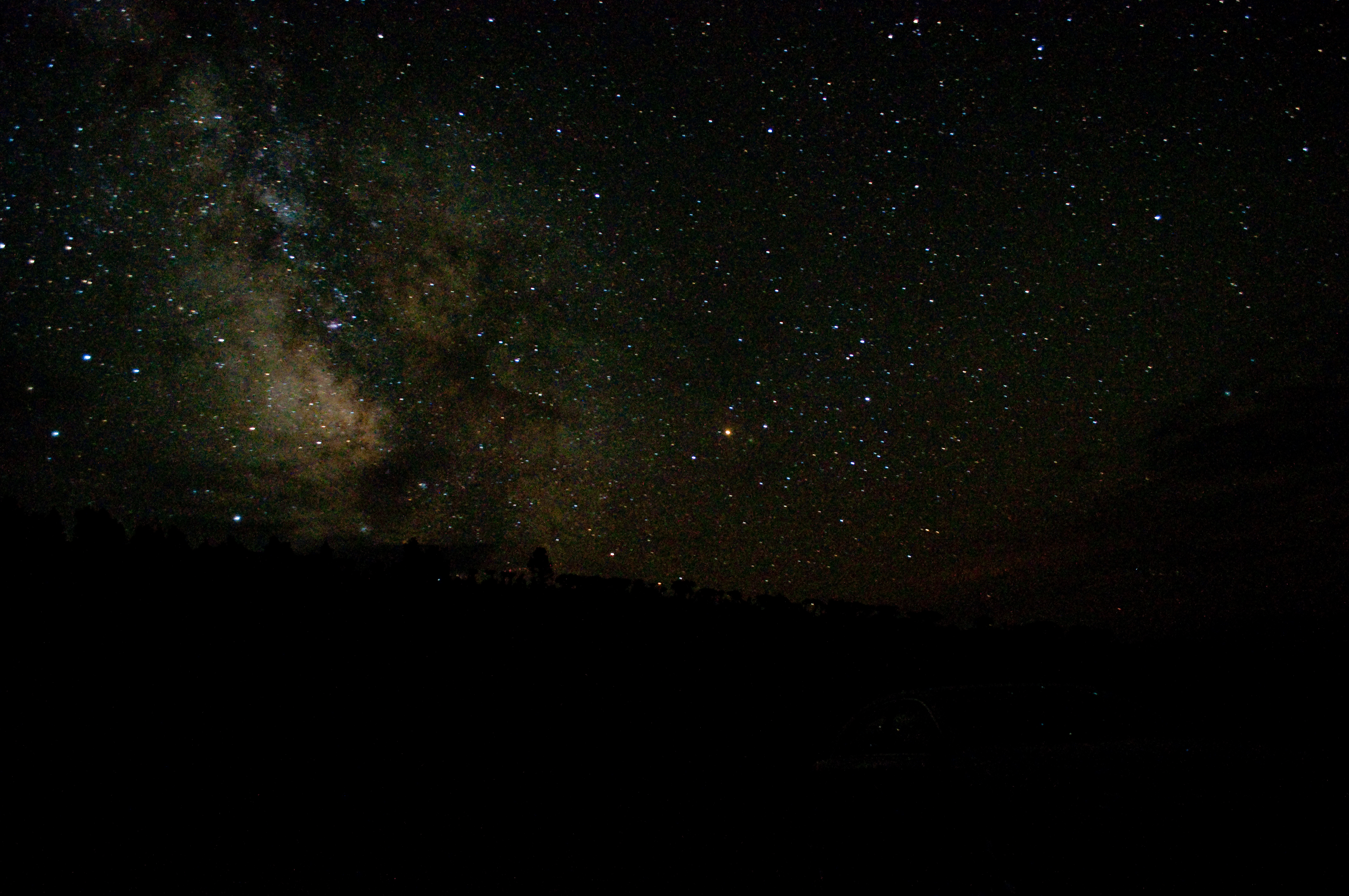
Idaho's Milky Way

Borah Peak trailhead

Summit panorama

Borah Peak trailhead

Evening approaching

Chicken Out Ridge
Lost River Valley

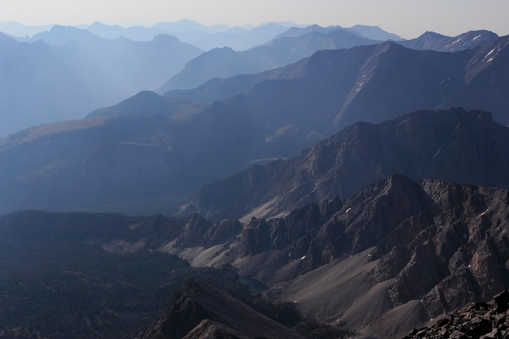
Lost River Range

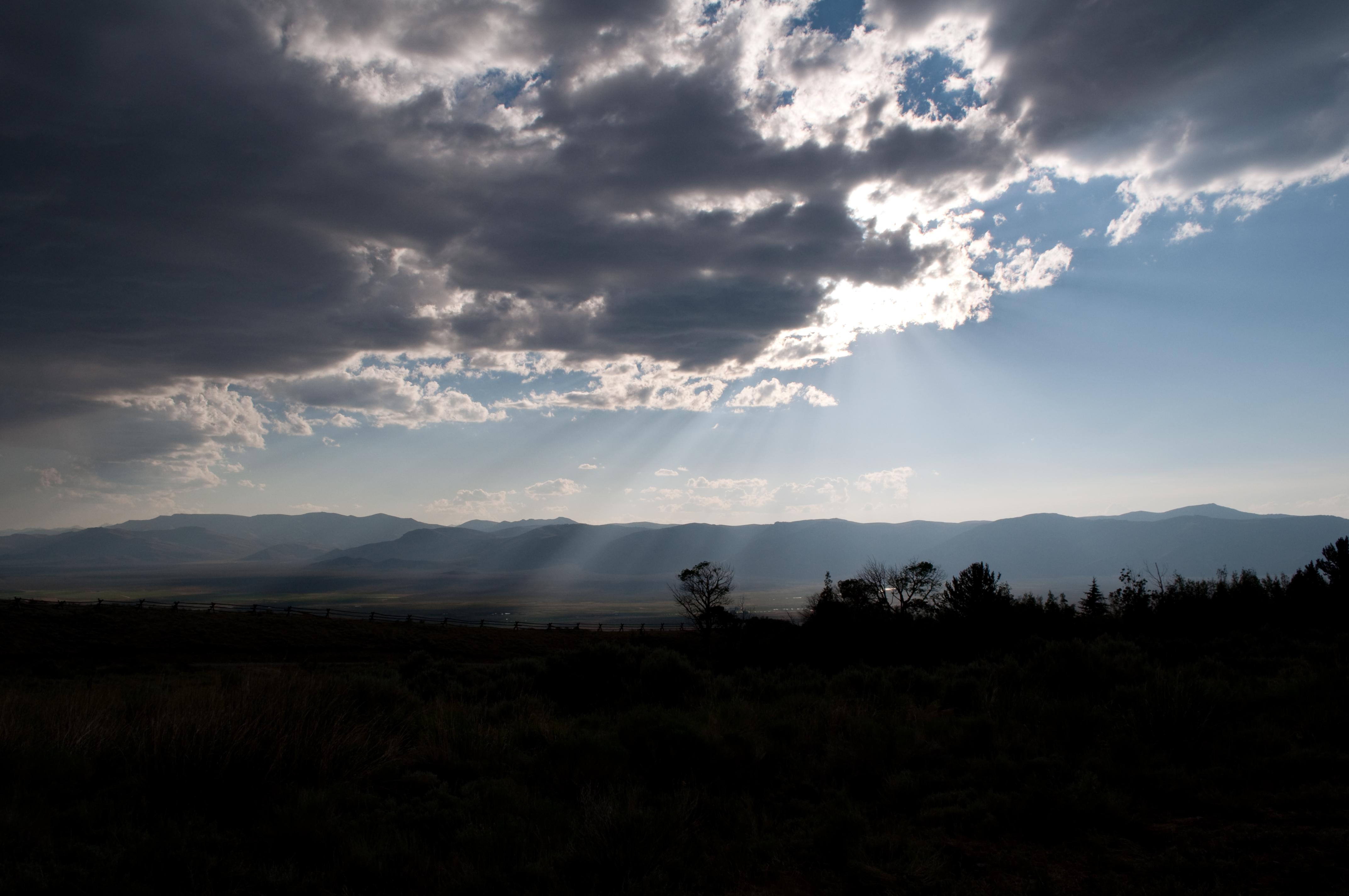
The coming day

The end is near

Lost River ruggedness

Lost River Range

View to the valley
Topographic Map of Chilly, ID, USA
Find elevation by address:

Places near Chilly, ID, USA:
5897 W Remington Ridge
Borah Peak
Copper Basin Airport
701 Elm Ave
Mackay
W N, Mackay, ID, USA
3849 Houston Rd
3890 3700 W
Moore
W, Moore, ID, USA
Arco
W Grand Ave, Arco, ID, USA
Leadore
Lemhi
Butte County
Grizzly Hill
Hawley Creek, Lower Campground
10 Mule Dr
Howe
Saddle Mountain
Recent Searches:
- Elevation of Corso Fratelli Cairoli, 35, Macerata MC, Italy
- Elevation of Tallevast Rd, Sarasota, FL, USA
- Elevation of 4th St E, Sonoma, CA, USA
- Elevation of Black Hollow Rd, Pennsdale, PA, USA
- Elevation of Oakland Ave, Williamsport, PA, USA
- Elevation of Pedrógão Grande, Portugal
- Elevation of Klee Dr, Martinsburg, WV, USA
- Elevation of Via Roma, Pieranica CR, Italy
- Elevation of Tavkvetili Mountain, Georgia
- Elevation of Hartfords Bluff Cir, Mt Pleasant, SC, USA