Elevation of Houston Rd, Mackay, ID, USA
Location: United States > Idaho > Custer County > Mackay >
Longitude: -113.46635
Latitude: 43.8585569
Elevation: 1742m / 5715feet
Barometric Pressure: 82KPa
Elevation Map:
Satellite Map:
Related Photos:

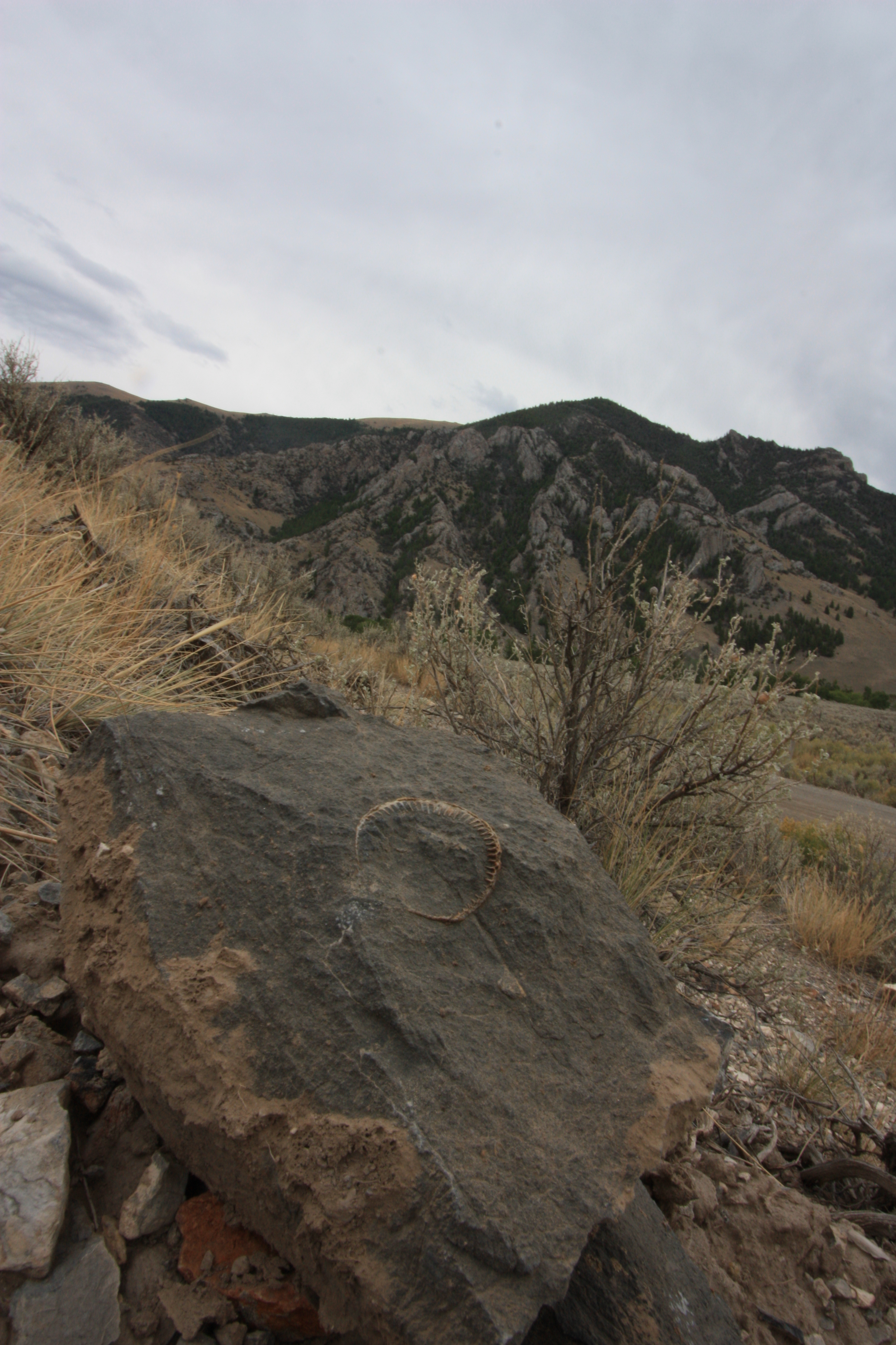
Star of the Show

An Idaho Winter.....

Lost Rivers autumn. At the mouth of Bear Creek (from Pass Creek).

#atvriding riding in #idaho on Friday. Nice view of the #sawtoothmountains in the background.

Autumn in Pass Creek Gorge

USA 14- 328 MacKay ID

Highway 26

USA 14- 326 MacKay ID
Sheep Mountain

Lost River Range

Lost River Range
Topographic Map of Houston Rd, Mackay, ID, USA
Find elevation by address:

Places near Houston Rd, Mackay, ID, USA:
3890 3700 W
W N, Mackay, ID, USA
Mackay
Moore
701 Elm Ave
W, Moore, ID, USA
Arco
W Grand Ave, Arco, ID, USA
Butte County
Copper Basin Airport
Borah Peak
5897 W Remington Ridge
Chilly
Howe
Saddle Mountain
Copper Mountain
Eighteenmile Peak
Bluebird Mountain
Italian Peak
Horse Ridge
Recent Searches:
- Elevation of Corso Fratelli Cairoli, 35, Macerata MC, Italy
- Elevation of Tallevast Rd, Sarasota, FL, USA
- Elevation of 4th St E, Sonoma, CA, USA
- Elevation of Black Hollow Rd, Pennsdale, PA, USA
- Elevation of Oakland Ave, Williamsport, PA, USA
- Elevation of Pedrógão Grande, Portugal
- Elevation of Klee Dr, Martinsburg, WV, USA
- Elevation of Via Roma, Pieranica CR, Italy
- Elevation of Tavkvetili Mountain, Georgia
- Elevation of Hartfords Bluff Cir, Mt Pleasant, SC, USA