Elevation of W, Moore, ID, USA
Location: United States > Idaho > Butte County > Moore >
Longitude: -113.43559
Latitude: 43.7917979
Elevation: 1726m / 5663feet
Barometric Pressure: 82KPa
Elevation Map:
Satellite Map:
Related Photos:

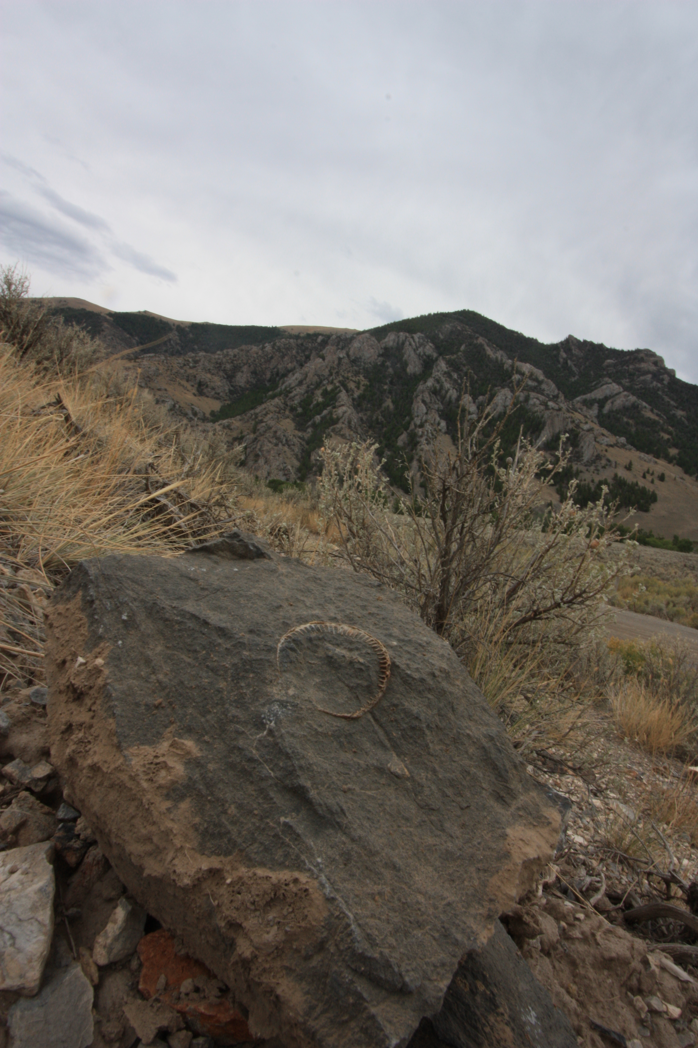
Star of the Show
Sheep Mountain

Lost River Range

Lost River Range

White Knob Mountains. Rain showers. From the Big Lost River Valley

Beneath the White Knob Mountains in east central Idaho

White Knob Mountains. Rain showers. From Big Lost River Valley

family reunion Aug 82

Good place to dump appliances

Coyote Skull

Sheep Mountain

Succulent (Sedum ?)

Sheep Mountain panorama

Sheep Mountain panorama

? maybe meth lab waste ?

White Crowned Sparrow

Juvenile Great Horned Owl

Look into my Eyes

Great Horned Owl

JanSport goes to Bonnaroo
Topographic Map of W, Moore, ID, USA
Find elevation by address:

Places near W, Moore, ID, USA:
3849 Houston Rd
Moore
W, Moore, ID, USA
W N, Mackay, ID, USA
Arco
W Grand Ave, Arco, ID, USA
Mackay
701 Elm Ave
Butte County
Copper Basin Airport
Howe
Borah Peak
Saddle Mountain
5897 W Remington Ridge
Chilly
Copper Mountain
Bluebird Mountain
Eighteenmile Peak
Horse Ridge
Italian Peak
Recent Searches:
- Elevation of Corso Fratelli Cairoli, 35, Macerata MC, Italy
- Elevation of Tallevast Rd, Sarasota, FL, USA
- Elevation of 4th St E, Sonoma, CA, USA
- Elevation of Black Hollow Rd, Pennsdale, PA, USA
- Elevation of Oakland Ave, Williamsport, PA, USA
- Elevation of Pedrógão Grande, Portugal
- Elevation of Klee Dr, Martinsburg, WV, USA
- Elevation of Via Roma, Pieranica CR, Italy
- Elevation of Tavkvetili Mountain, Georgia
- Elevation of Hartfords Bluff Cir, Mt Pleasant, SC, USA