Elevation of Clayton, ID, USA
Location: United States > Idaho > Custer County >
Longitude: -114.40115
Latitude: 44.2592165
Elevation: 1674m / 5492feet
Barometric Pressure: 83KPa
Elevation Map:
Satellite Map:
Related Photos:

Thompson Creek Mine Tailing Pond

Thompson Creek Molybdenum Pit Mine

Thompson Creek Mine

iPhone Idaho

Some Gulch Along Highway 75 in Idaho 1

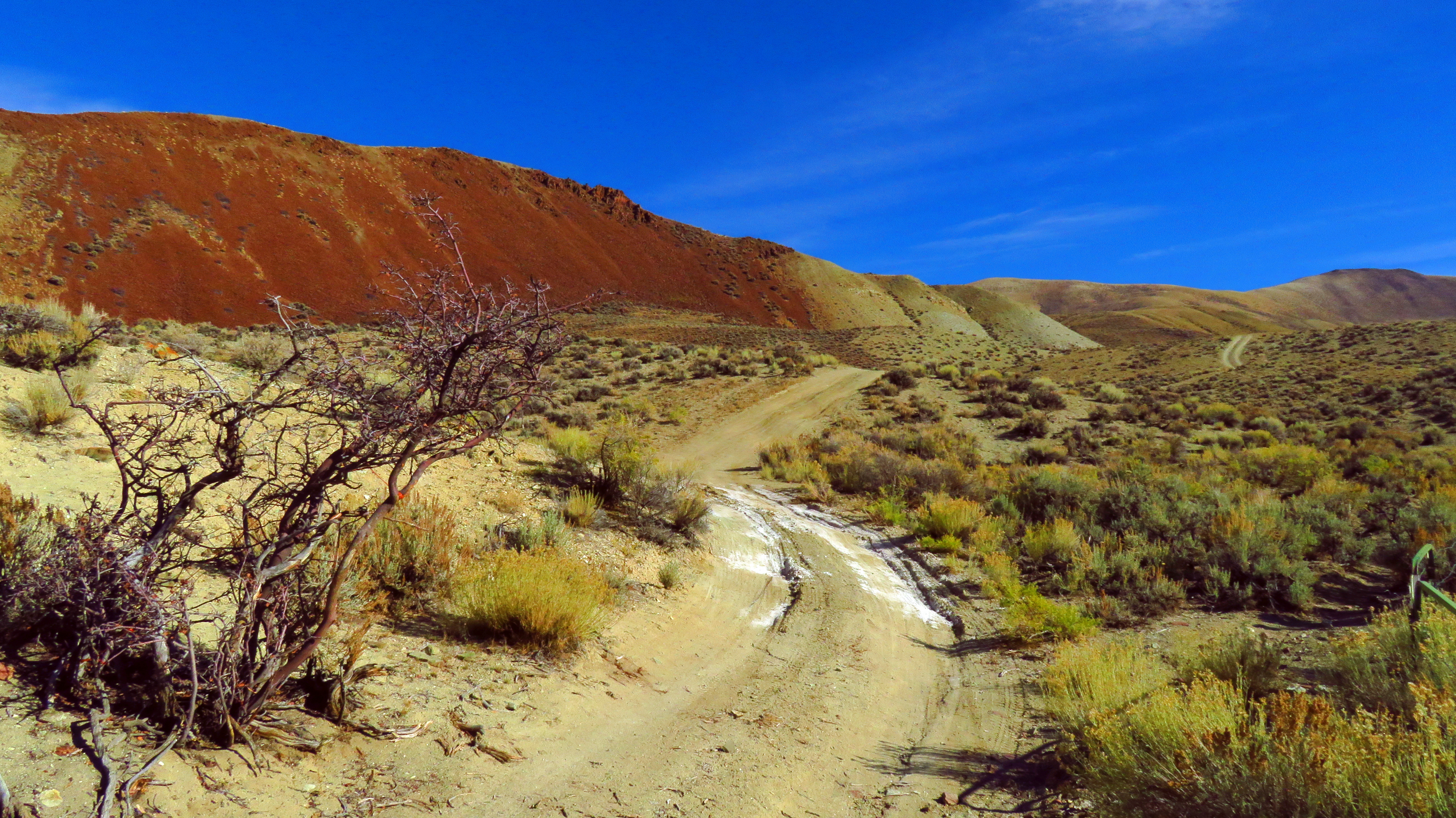
Arid hills in Malm Gulch near the Salmon River
Sometimes, the Road is the Destination 4

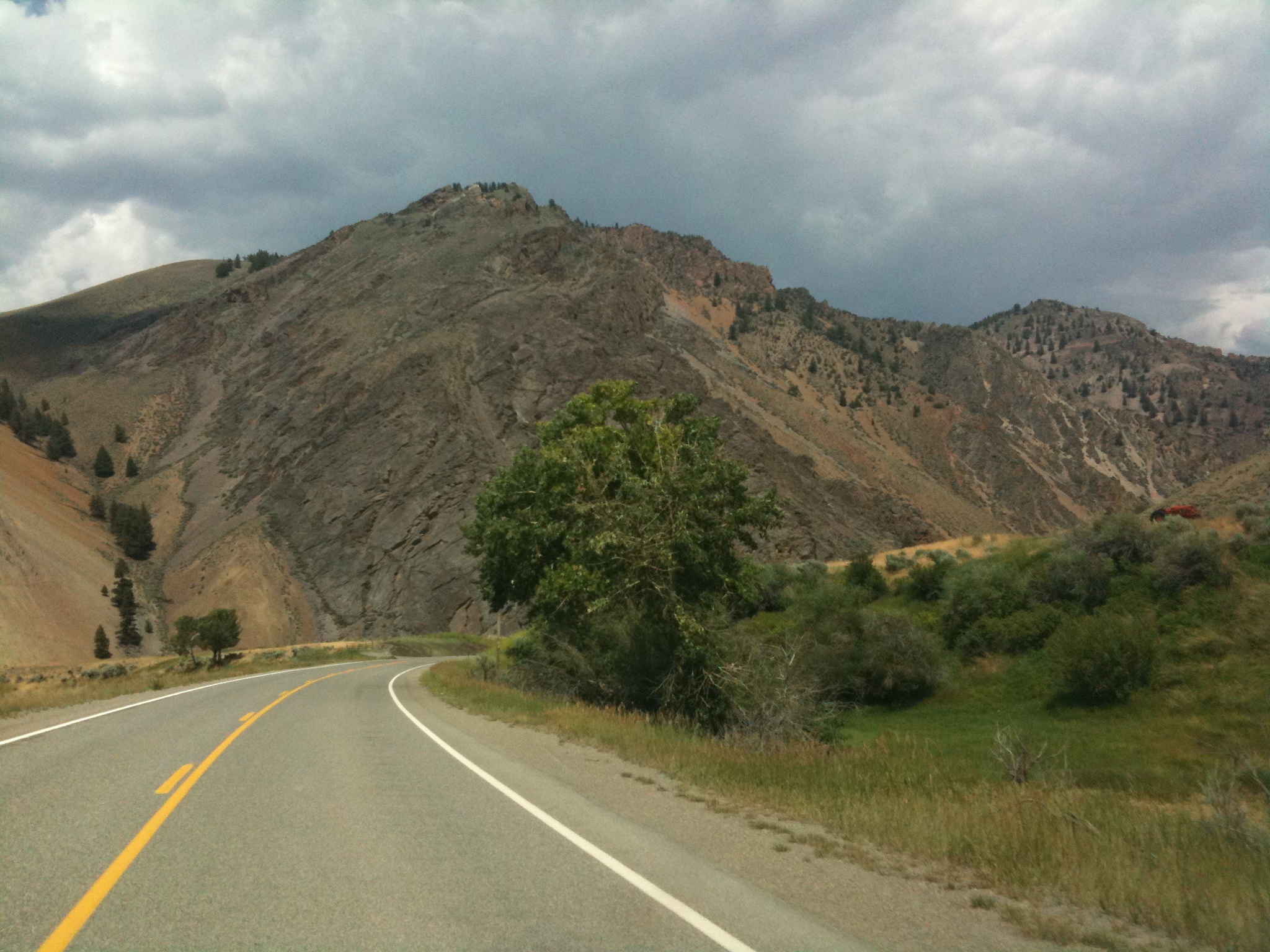
Salmon River Scenic Byway (Idaho State Highway 75) from Stanley to Challis

In the East Fork Salmon river valley, Idaho

Down the lower part of the East Fork Salmon River canyon

Horses at Yankee Fork Ranger Station, Challis NF ID

Salmon River

The Salmon River at Yankee Fork Ranger Station ID

Boulders in the lower part of the East Fork Salmon River canyon

Telephoto. Toward the confluence area of the East Fork and the Main Fork Salmon River

East Fork of the Salmon River beneath the cliffs

ID-75 North - Distance Marker

DOS19-99

Along the Salmon River in Idaho.
Ominous Skies

DOS19-97
Topographic Map of Clayton, ID, USA
Find elevation by address:

Places in Clayton, ID, USA:
Places near Clayton, ID, USA:
Holman Creek Campground
7000 E Fork Rd
Custer County
Germer Basin
Torreys
White Cloud Mountains
Challis
Main St, Challis, ID, USA
1121 Apex Ln
Valley Road
Upper Hot Springs Road
Custer
510 Rod And Gun Club Loop
Idaho
4765 Twin Bridges Creek Rd
Snake River
Copper Basin Camp
Wild Horse Creek Ranch
Easley Peak
ID-75, Ketchum, ID, USA
Recent Searches:
- Elevation of Corso Fratelli Cairoli, 35, Macerata MC, Italy
- Elevation of Tallevast Rd, Sarasota, FL, USA
- Elevation of 4th St E, Sonoma, CA, USA
- Elevation of Black Hollow Rd, Pennsdale, PA, USA
- Elevation of Oakland Ave, Williamsport, PA, USA
- Elevation of Pedrógão Grande, Portugal
- Elevation of Klee Dr, Martinsburg, WV, USA
- Elevation of Via Roma, Pieranica CR, Italy
- Elevation of Tavkvetili Mountain, Georgia
- Elevation of Hartfords Bluff Cir, Mt Pleasant, SC, USA