Elevation of Germer Basin, Idaho, USA
Location: United States > Idaho > Custer County > Challis >
Longitude: -114.23700
Latitude: 44.374366
Elevation: 1818m / 5965feet
Barometric Pressure: 81KPa
Elevation Map:
Satellite Map:
Related Photos:
Grand View Canyon Road cheatgrass sites
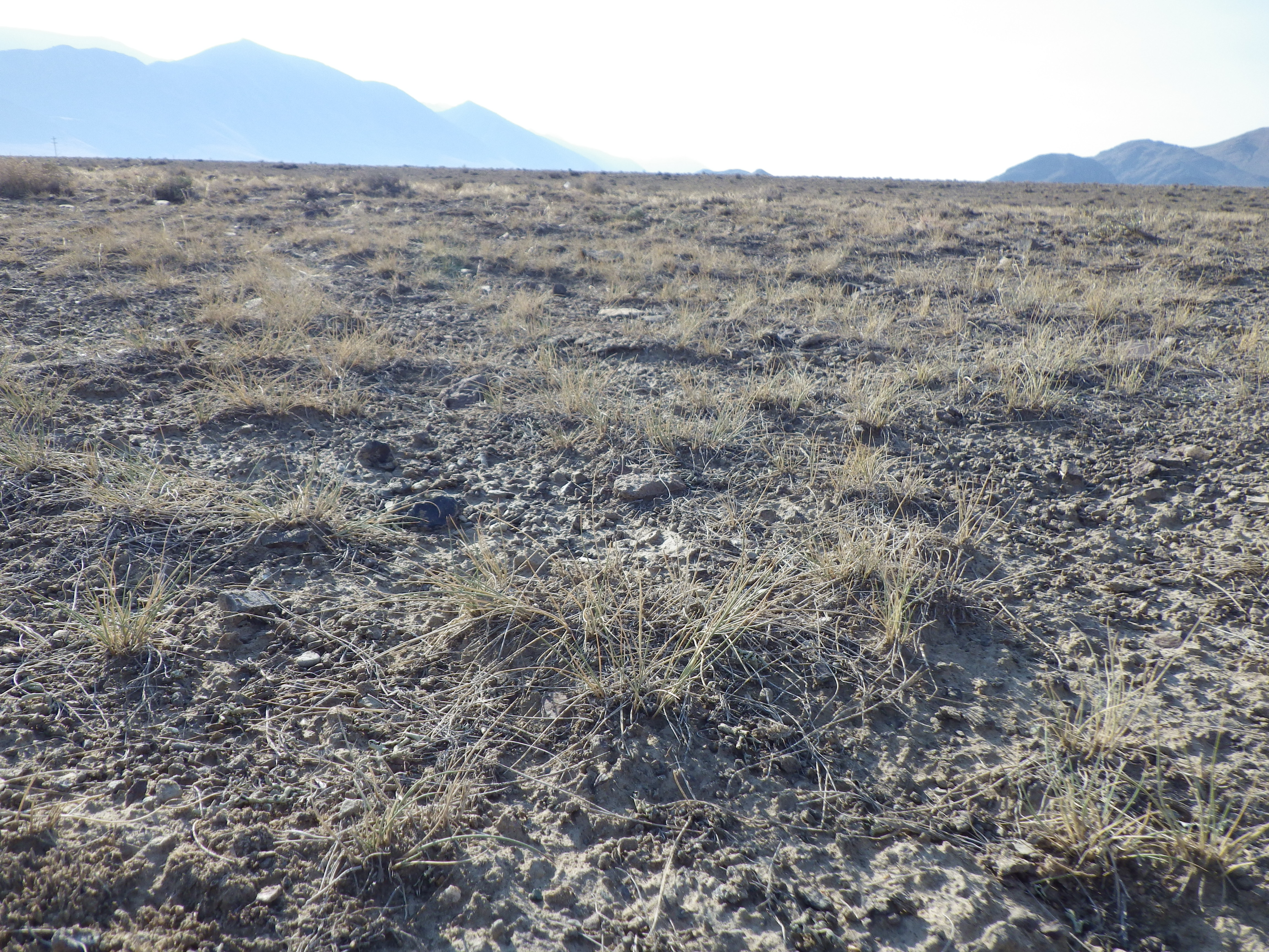
Grand View Canyon Road cheatgrass sites

Grand View Canyon Road cheatgrass sites
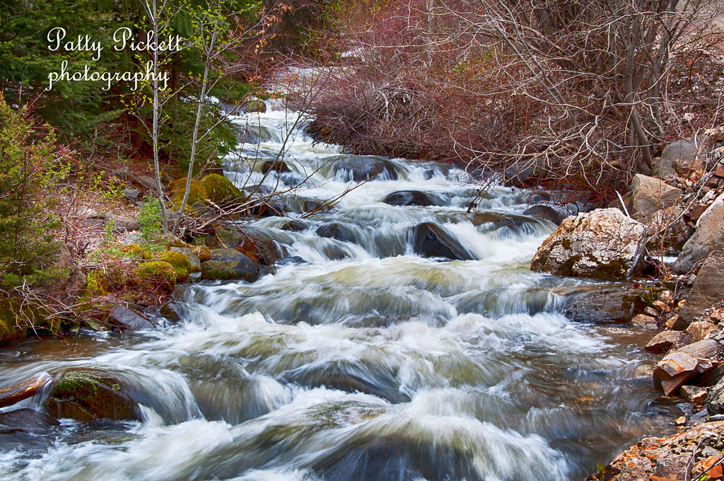
bayhorse creek

Bayhorse creek Idaho
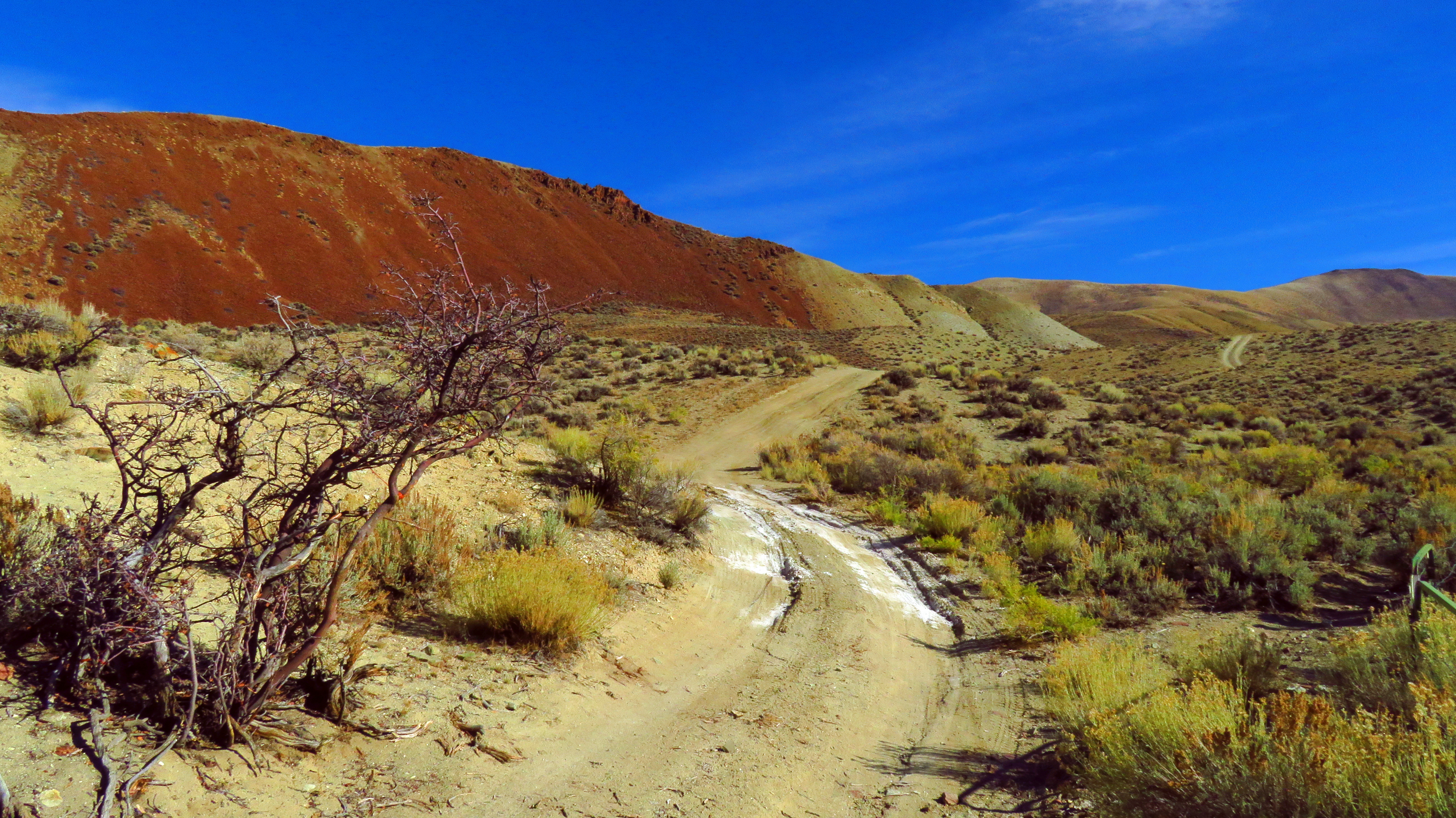
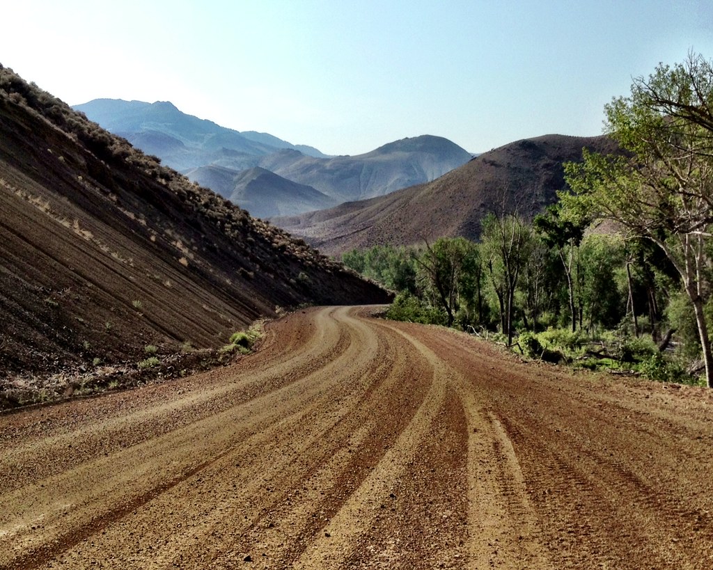
Sometimes, the Road is the Destination 4

Arid hills in Malm Gulch near the Salmon River

Lone Pine Peak from Challis, Idaho. Telephoto

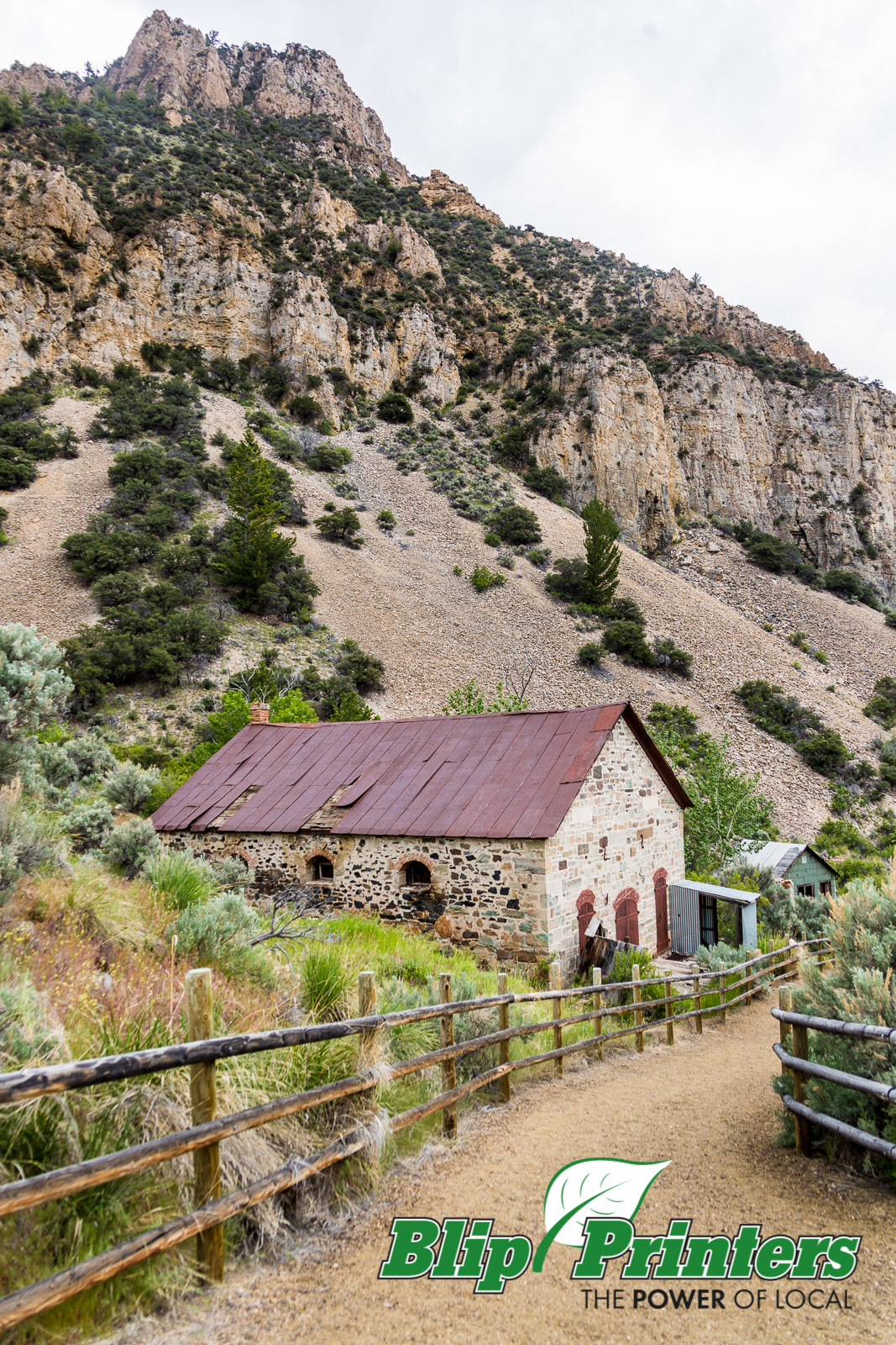
Gorgeous rock tunnel

Above Garden Creek in the Salmon River Mountains west of Challis, Idaho
On the way to a ghost town...got scared and turned around

The Pahsimeroi Mountains from a flat near Challis, Idaho

iPhone photo
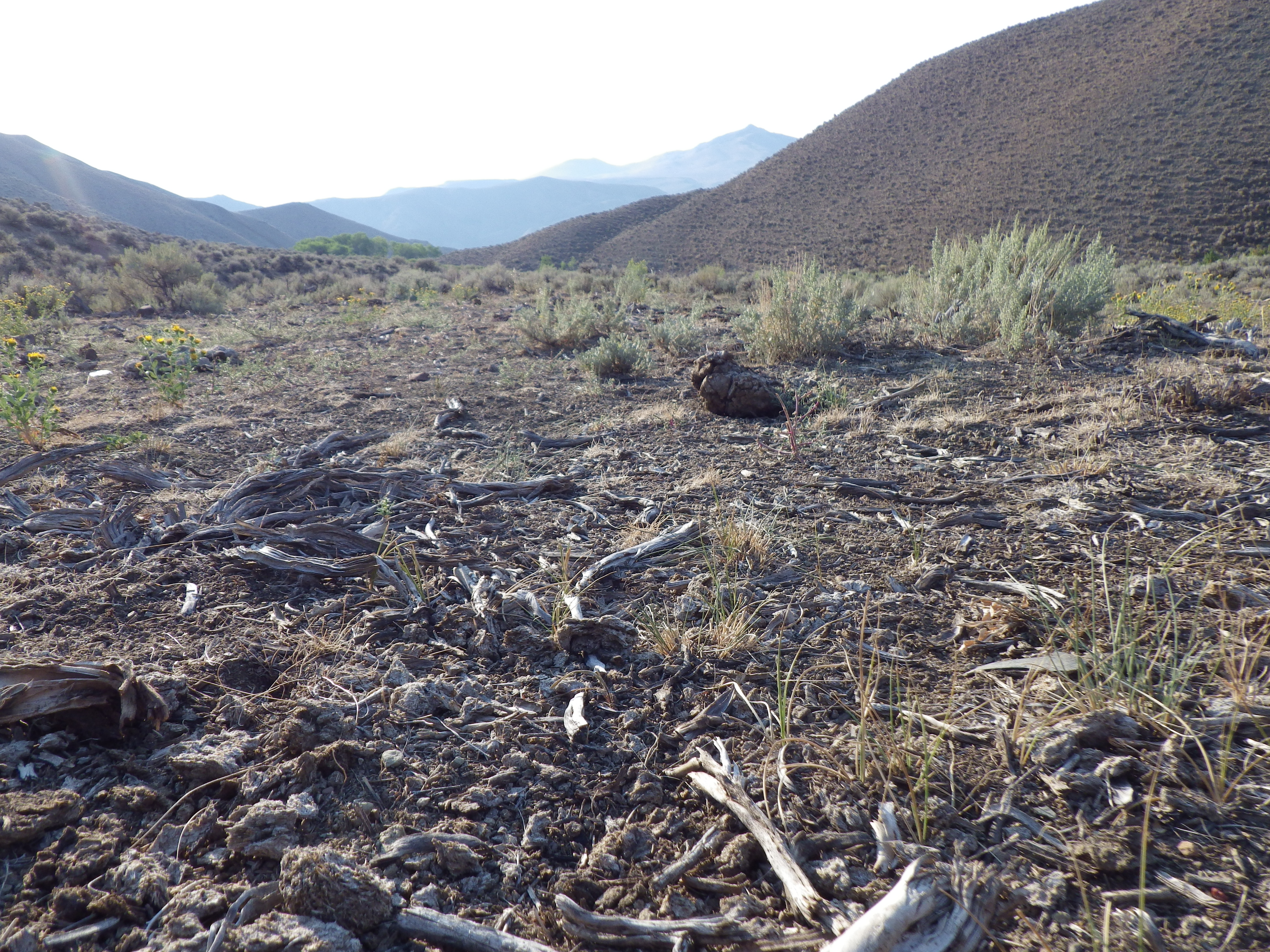
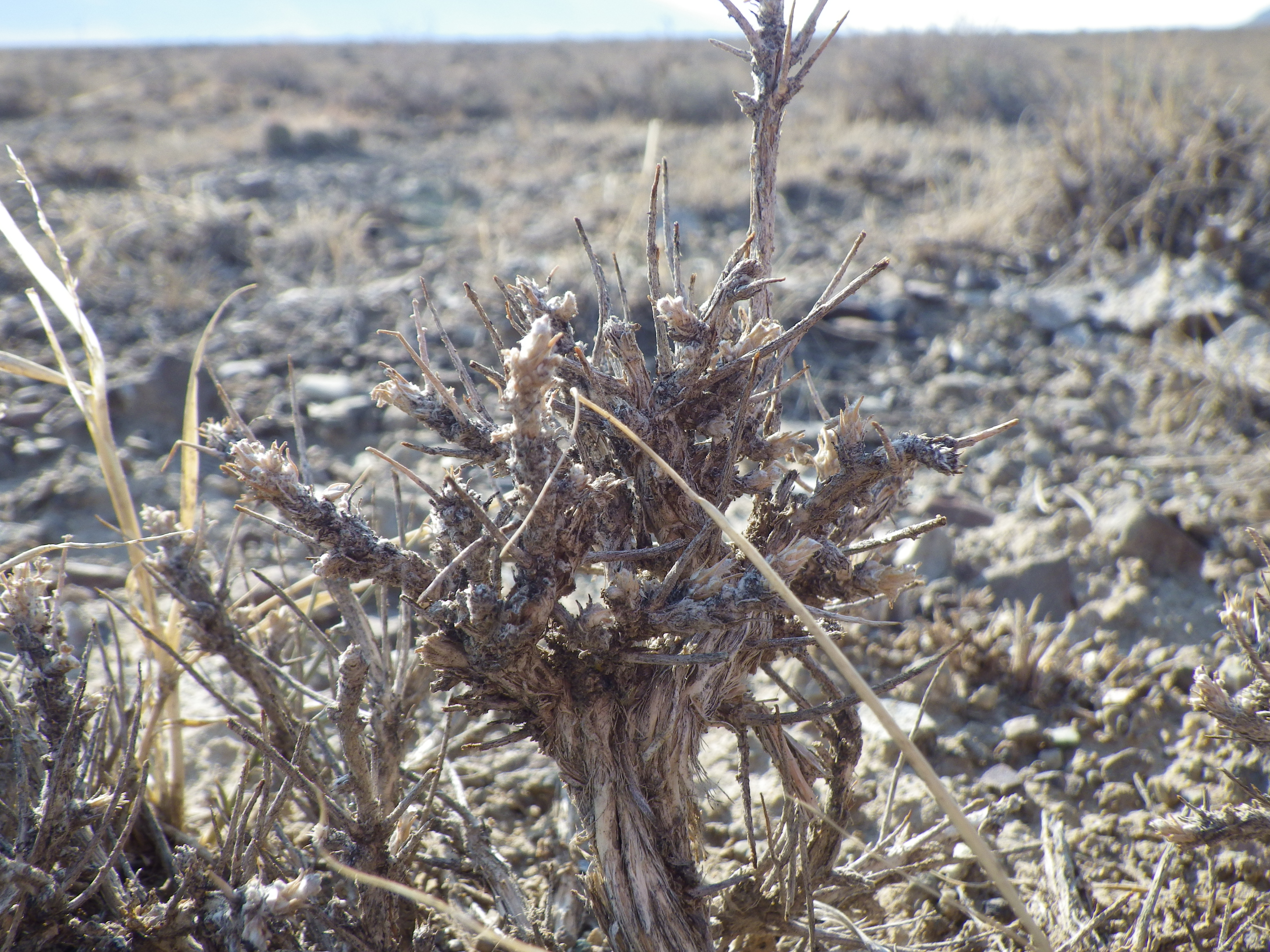
Challis Idaho cheatgrass sites

Salmon River Scenic Byway (Idaho State Highway 75) from Stanley to Challis

Some Gulch Along Highway 75 in Idaho 1

CW6D3265.jpg

SaveTheWest.org Version of Woodstock

Outside Challis, ID
CW6D3271.jpg
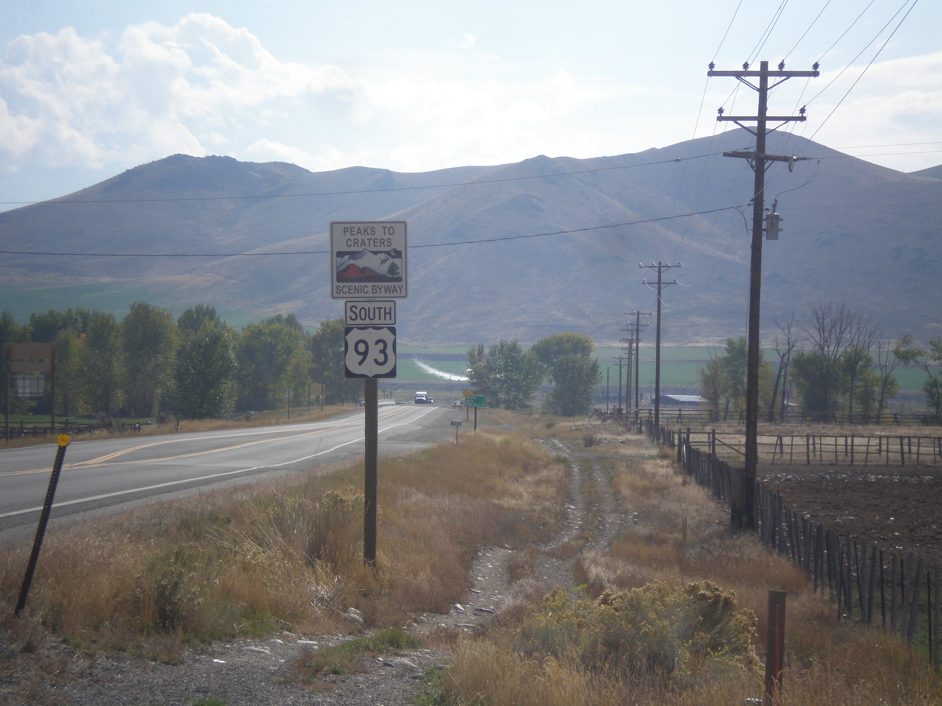
US-93 South - Peaks To Craters Scenic Byway

DOS19-99

Telephoto. Toward the confluence area of the East Fork and the Main Fork Salmon River

Salmon River, near Stanley, ID
Topographic Map of Germer Basin, Idaho, USA
Find elevation by address:

Places near Germer Basin, Idaho, USA:
Custer County
Upper Hot Springs Road
1121 Apex Ln
Challis
Main St, Challis, ID, USA
Valley Road
510 Rod And Gun Club Loop
Clayton
7000 E Fork Rd
Holman Creek Campground
Custer Road
Ellis
Torreys
May
4765 Twin Bridges Creek Rd
Copper Basin Camp
Custer
Wild Horse Creek Ranch
Snake River
White Cloud Mountains
Recent Searches:
- Elevation of Corso Fratelli Cairoli, 35, Macerata MC, Italy
- Elevation of Tallevast Rd, Sarasota, FL, USA
- Elevation of 4th St E, Sonoma, CA, USA
- Elevation of Black Hollow Rd, Pennsdale, PA, USA
- Elevation of Oakland Ave, Williamsport, PA, USA
- Elevation of Pedrógão Grande, Portugal
- Elevation of Klee Dr, Martinsburg, WV, USA
- Elevation of Via Roma, Pieranica CR, Italy
- Elevation of Tavkvetili Mountain, Georgia
- Elevation of Hartfords Bluff Cir, Mt Pleasant, SC, USA