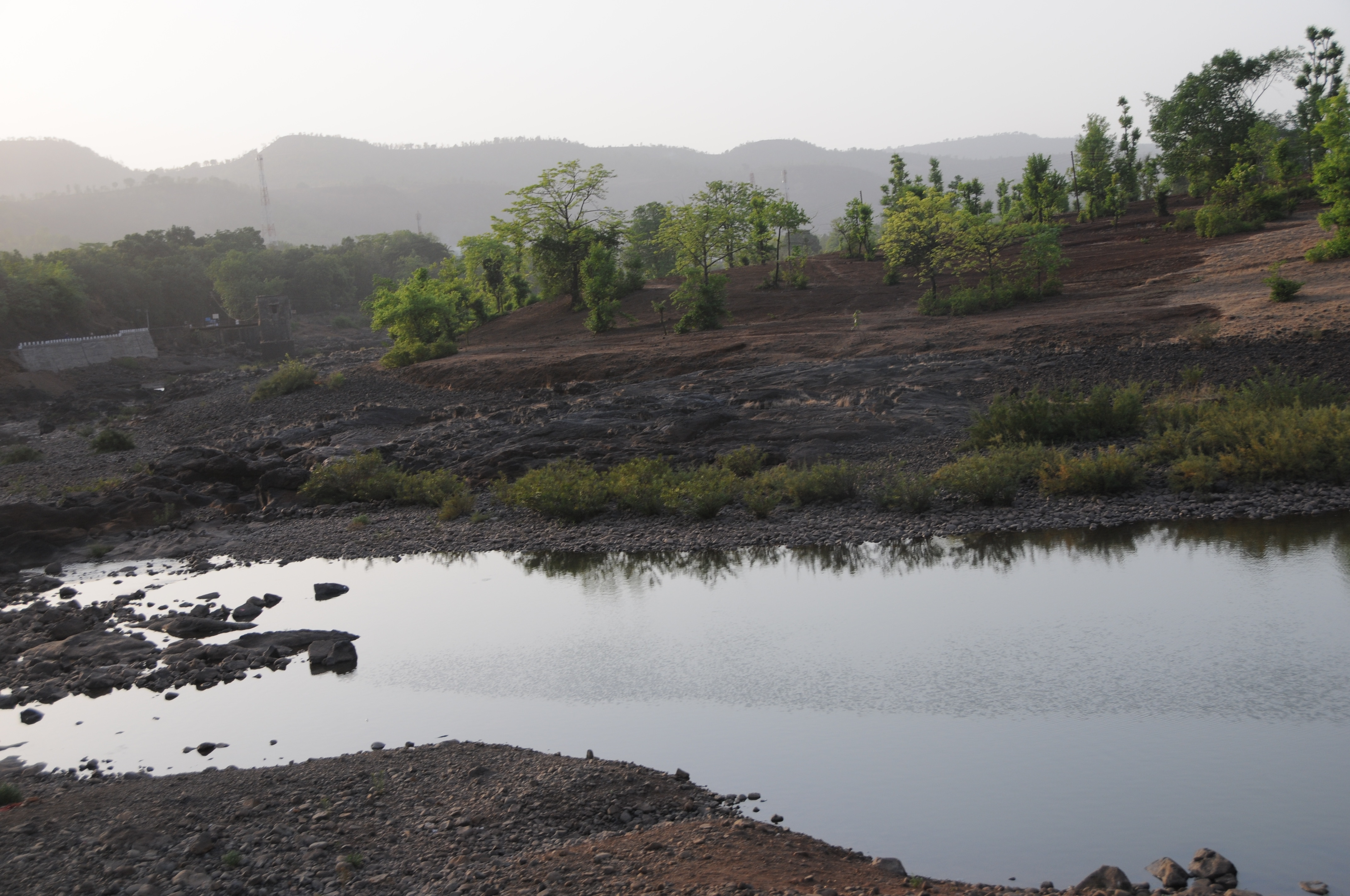
Elevation of Bhogaon Bk., Maharashtra, India
Location: India > Maharashtra > Raigad >
Longitude: 73.4327538
Latitude: 17.9150018
Elevation: 312m / 1024feet
Barometric Pressure: 0KPa
Related Photos:
CSP_6224.JPG
CSP_6169.JPG
CSP_6202.JPG
CSP_6209.JPG
CSP_6207.JPG
CSP_6149.JPG

CSP_6208.JPG
CSP_6119.JPG

CSP_6118.JPG

CSP_6117.JPG
CSP_6113.JPG
CSP_6162.JPG
CSP_6150.JPG
CSP_6116.JPG
CSP_6121.JPG
CSP_6131.JPG
CSP_6201.JPG
CSP_6180.JPG
CSP_6183.JPG
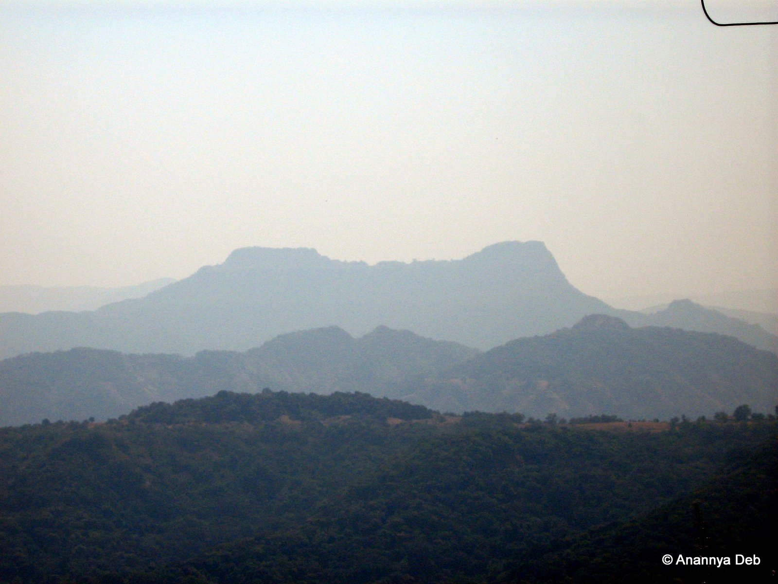
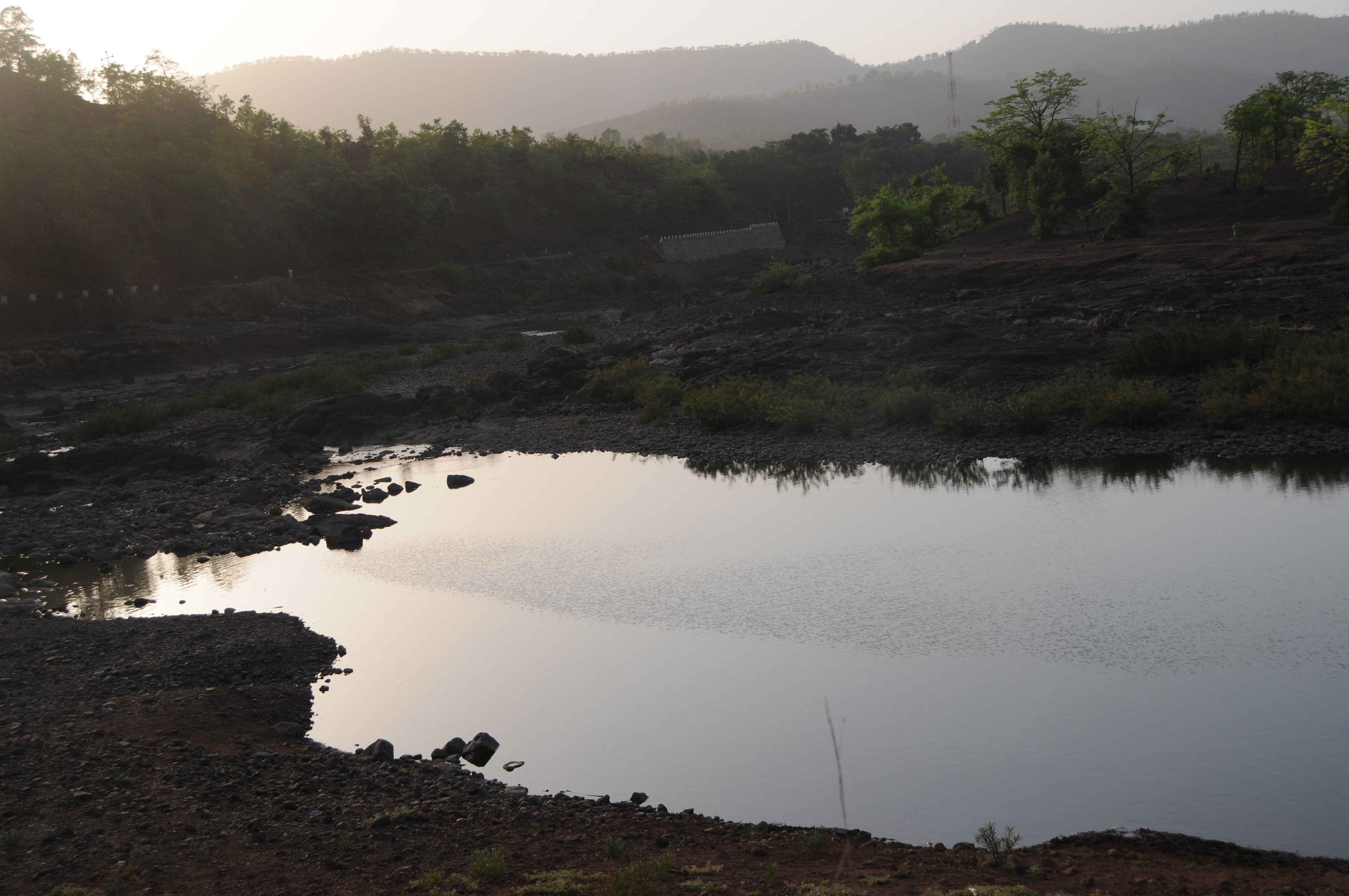
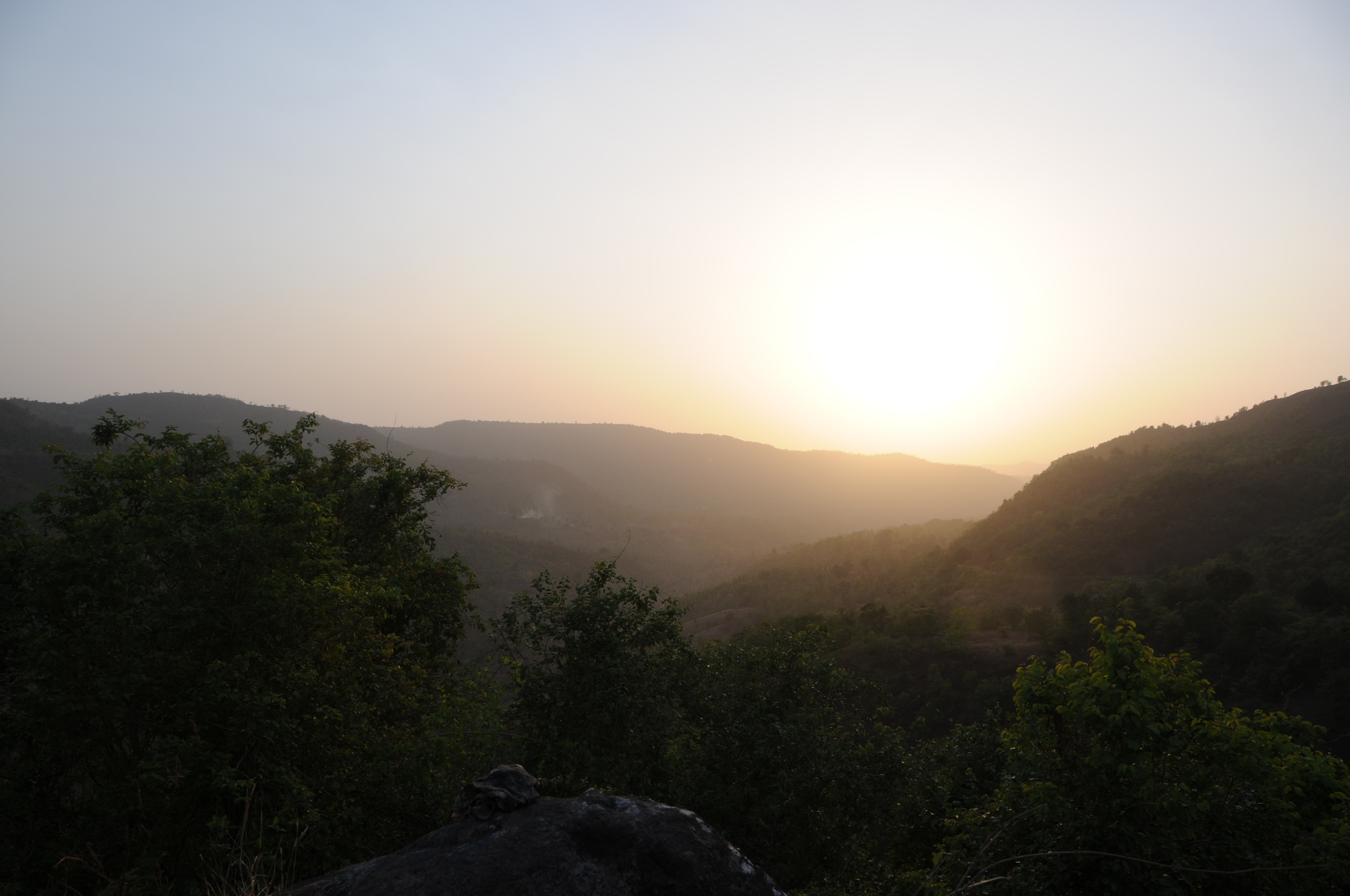
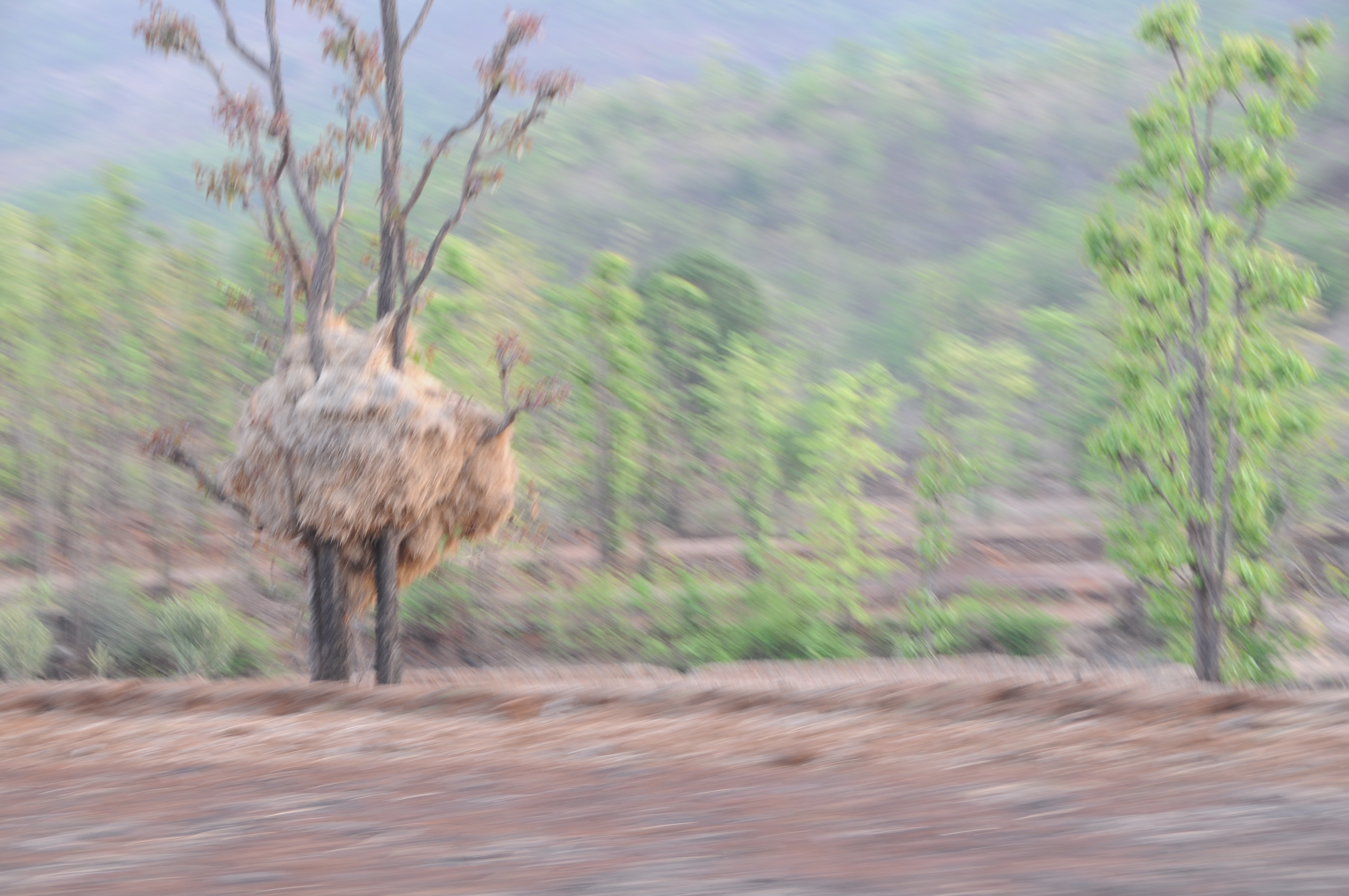
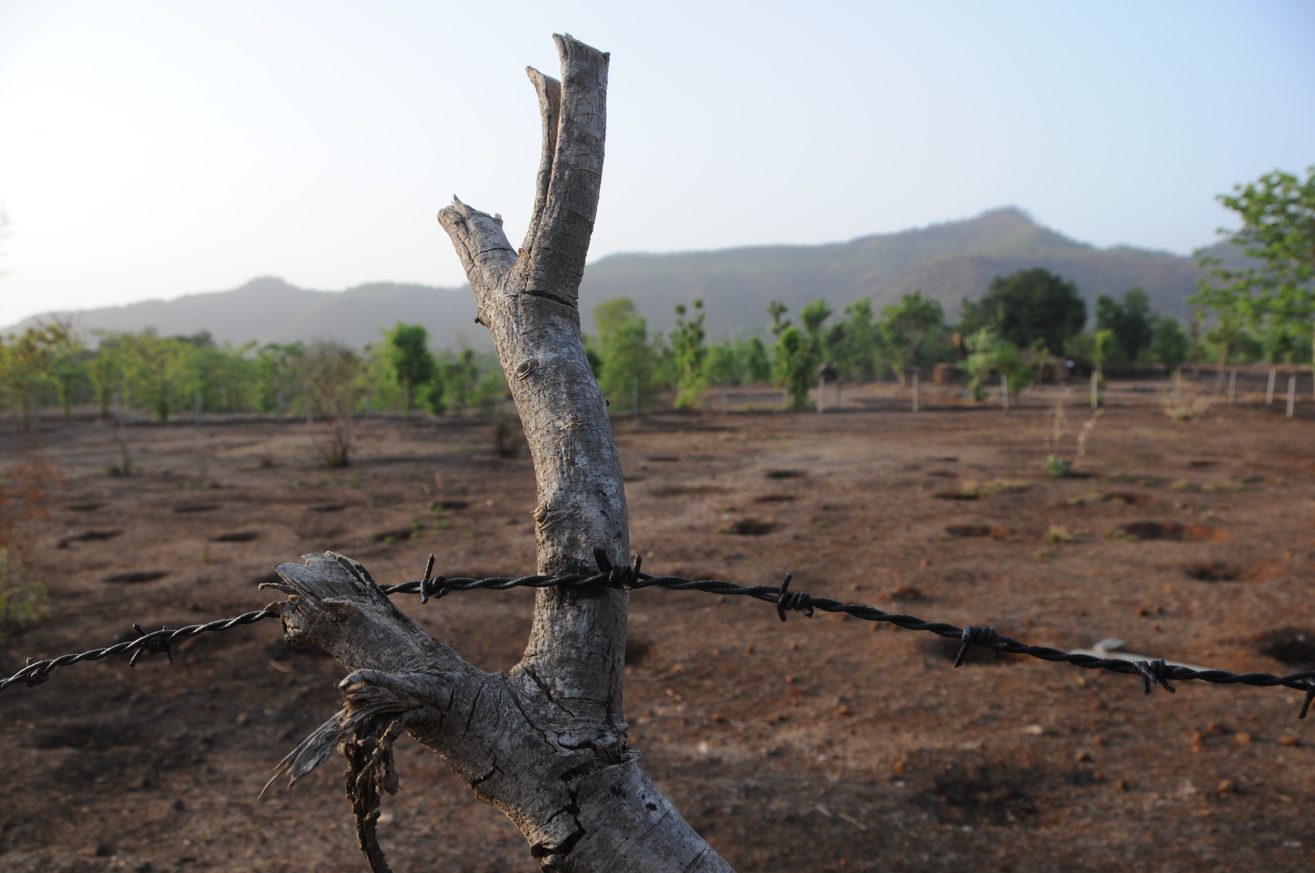
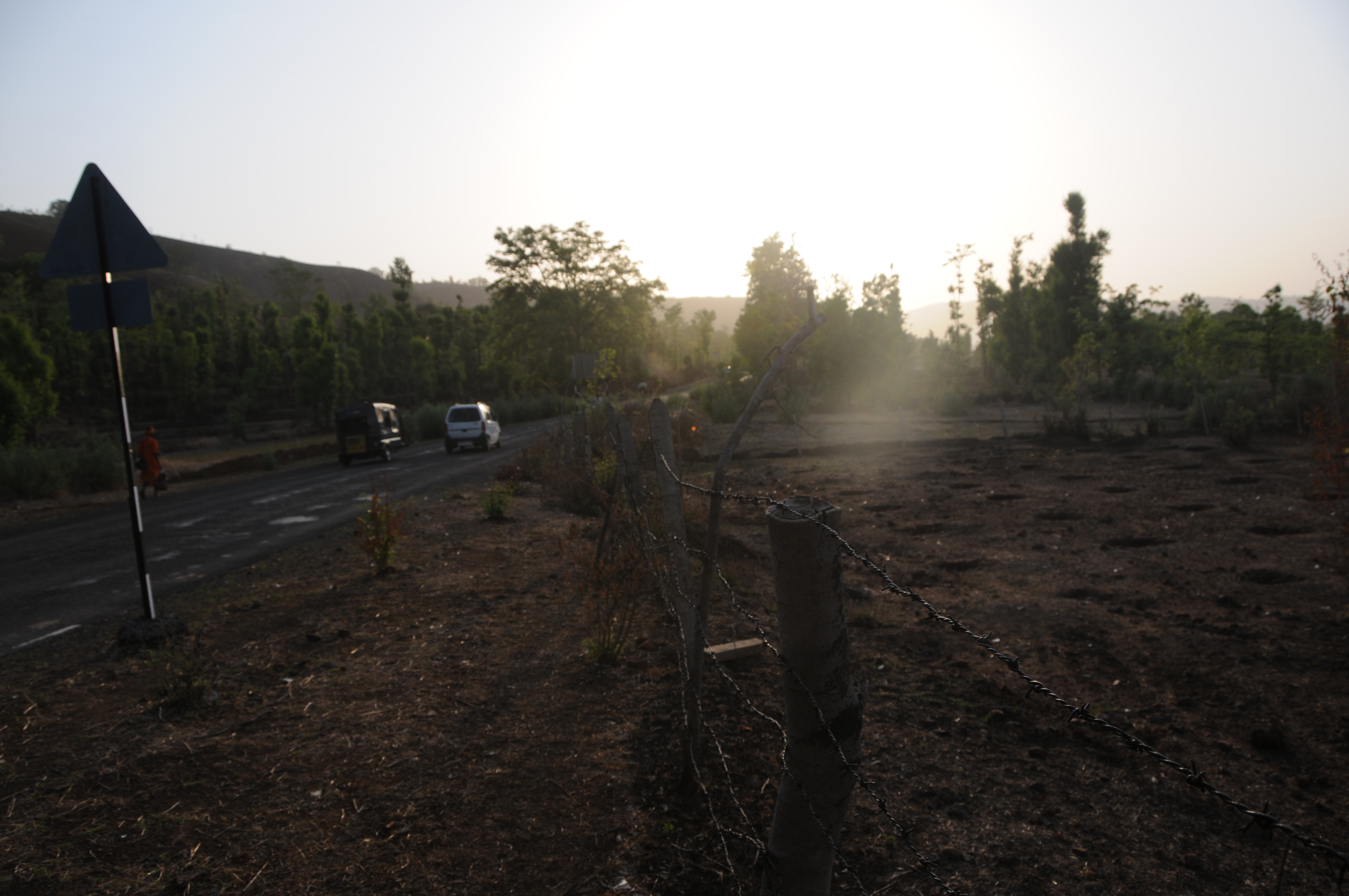
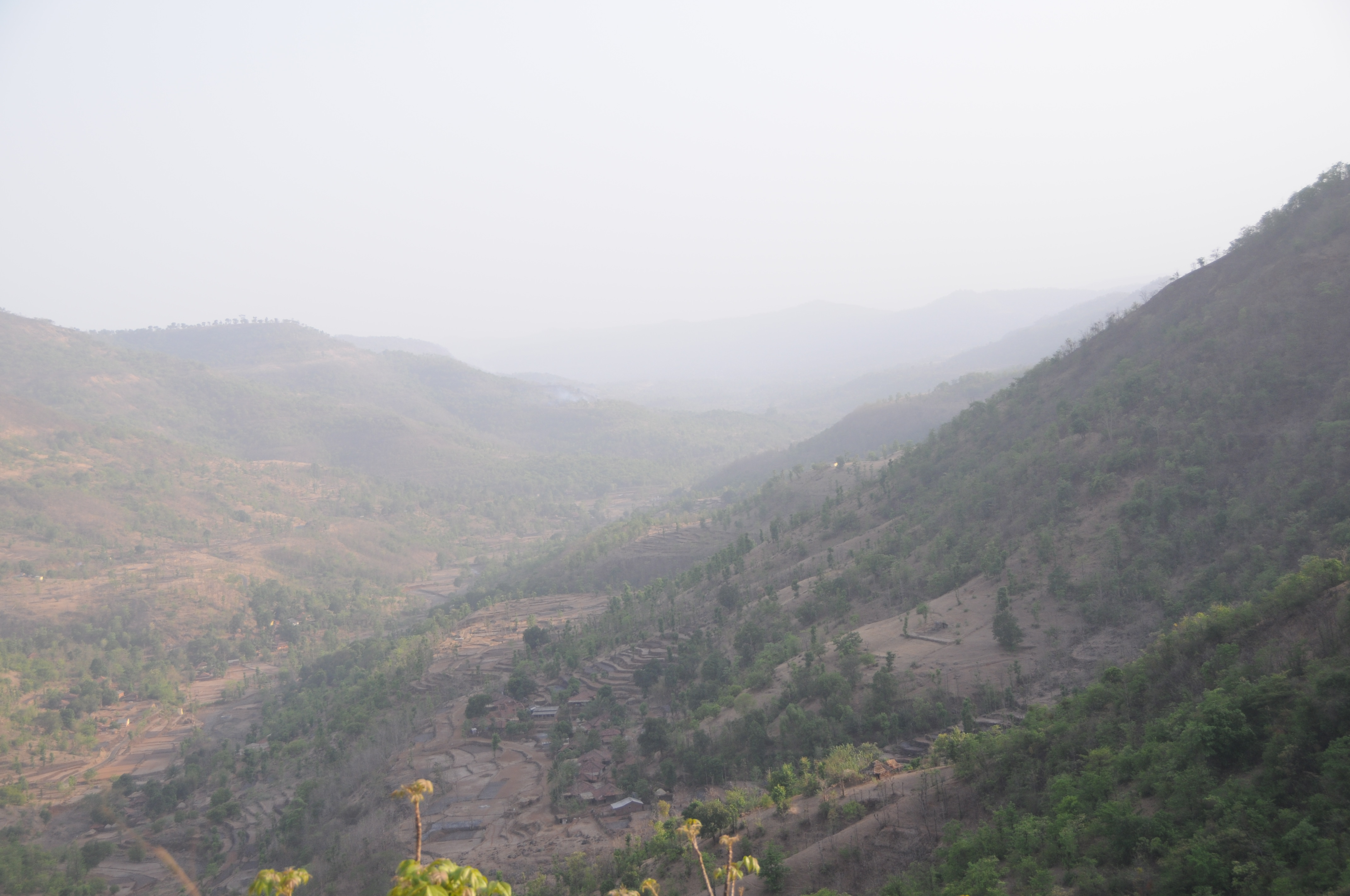
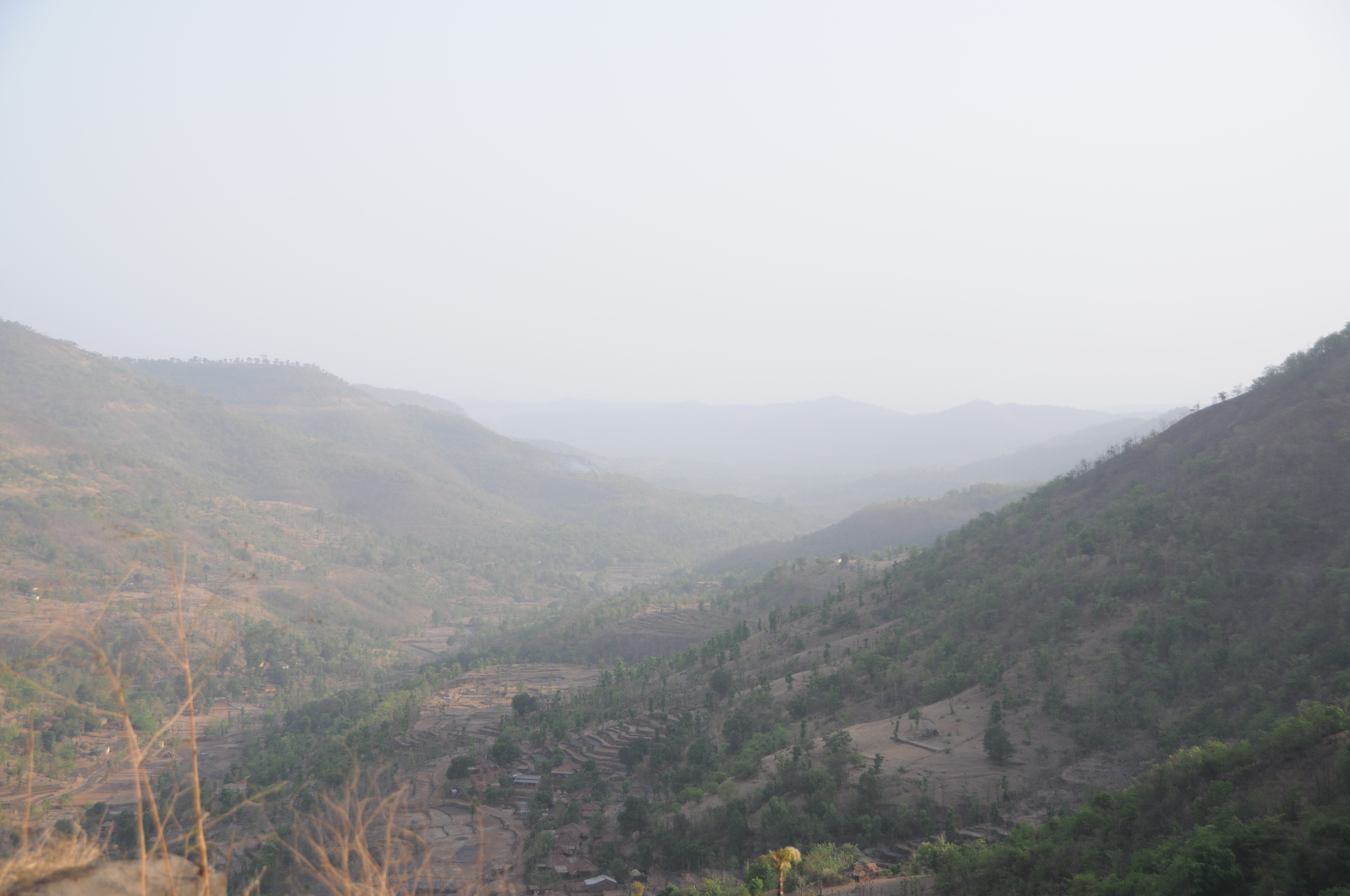
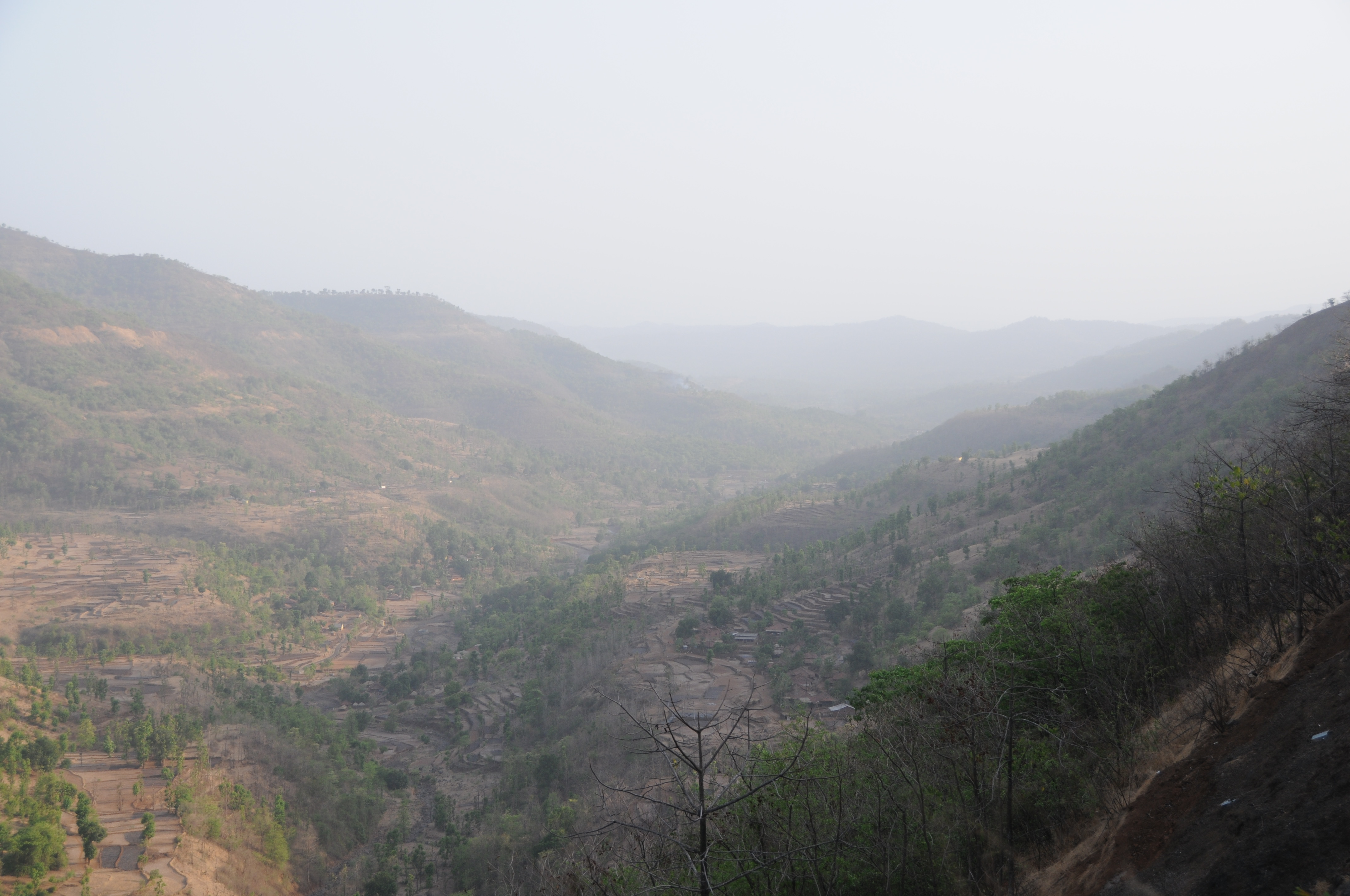
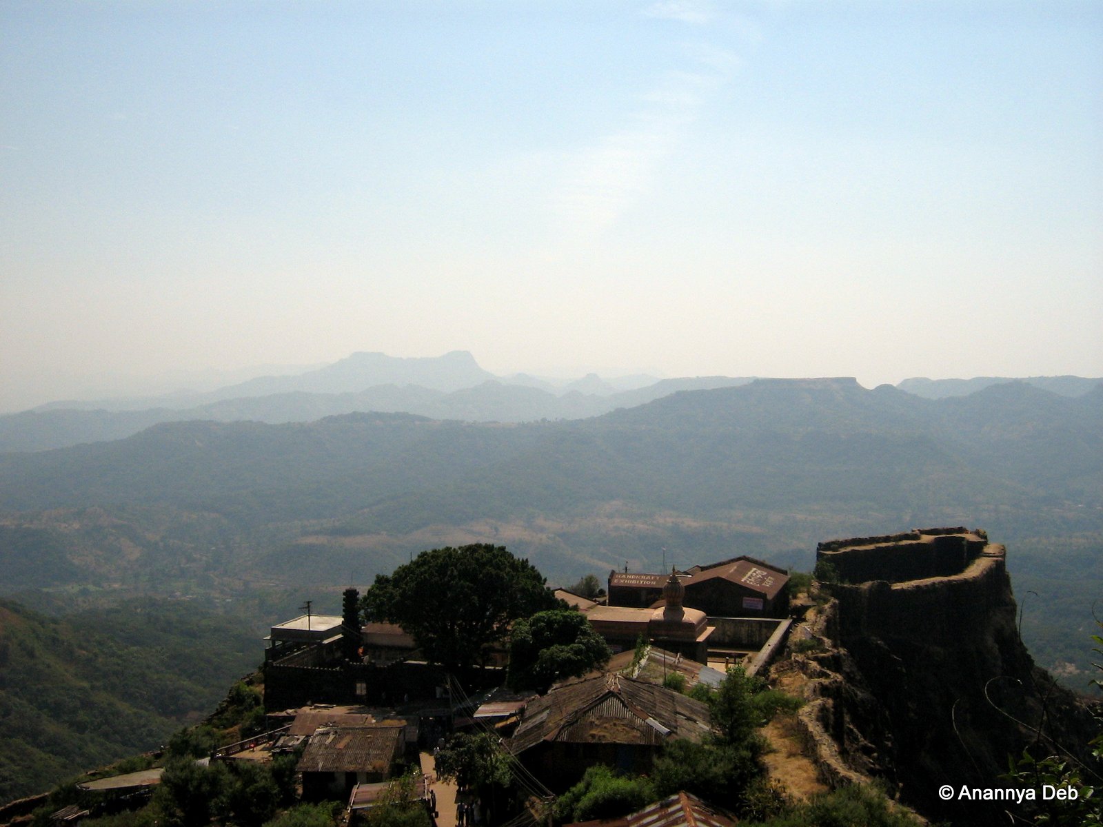
View of the land around Pratapgad, January 2007

CSP_6142.JPG
CSP_6213.JPG
CSP_6170.JPG
CSP_6145.JPG
CSP_6168.JPG
CSP_6153.JPG
CSP_6152.JPG
CSP_6151.JPG
CSP_6212.JPG

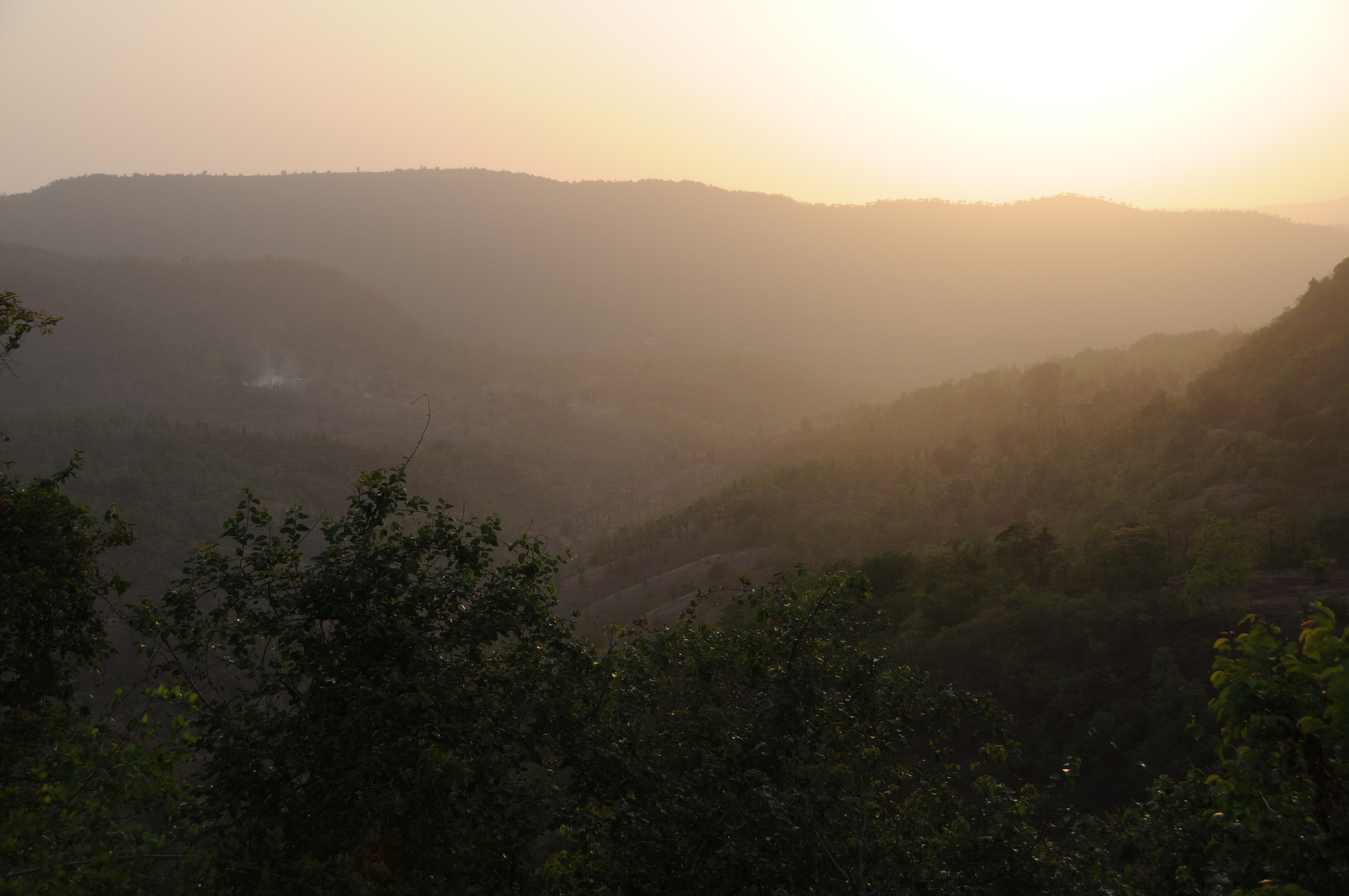
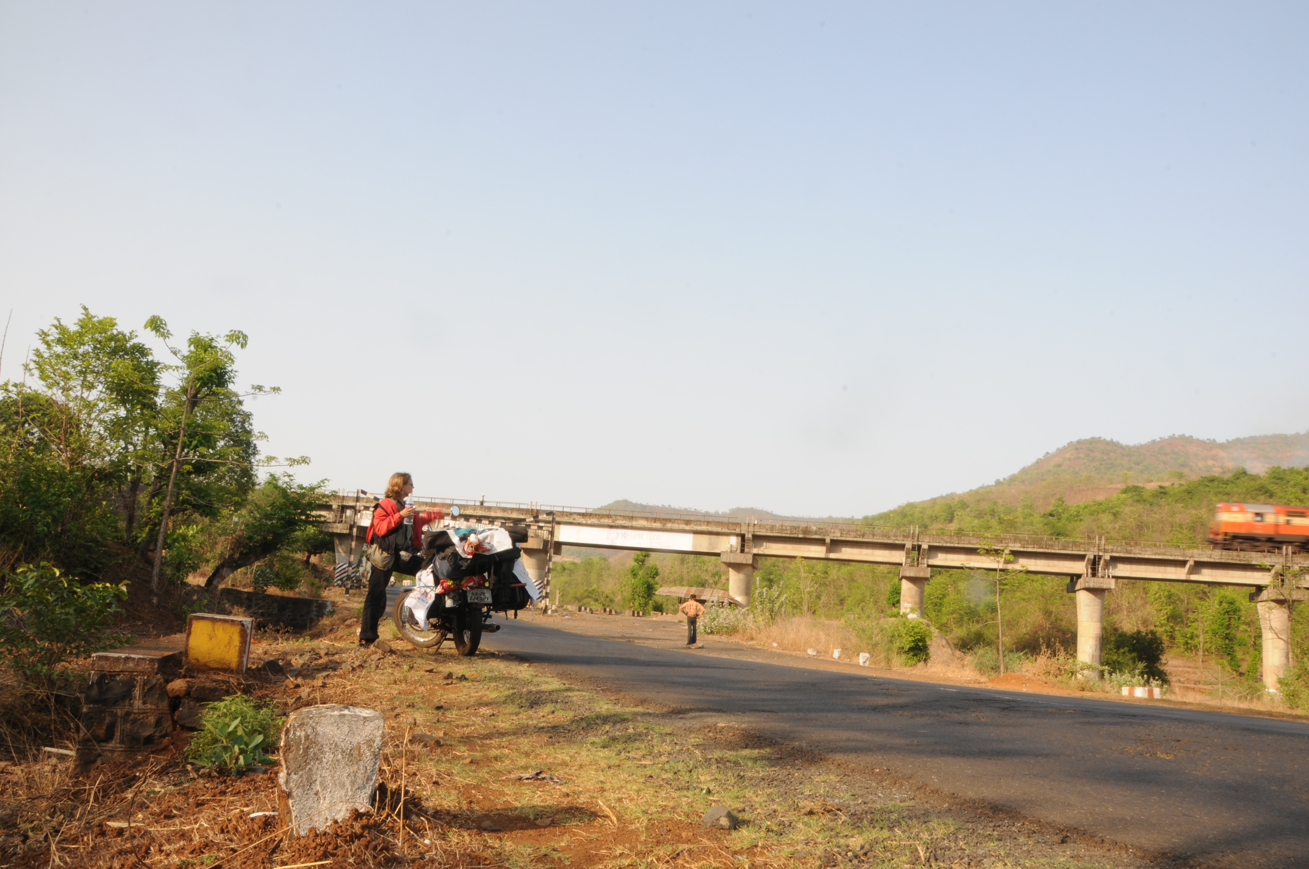
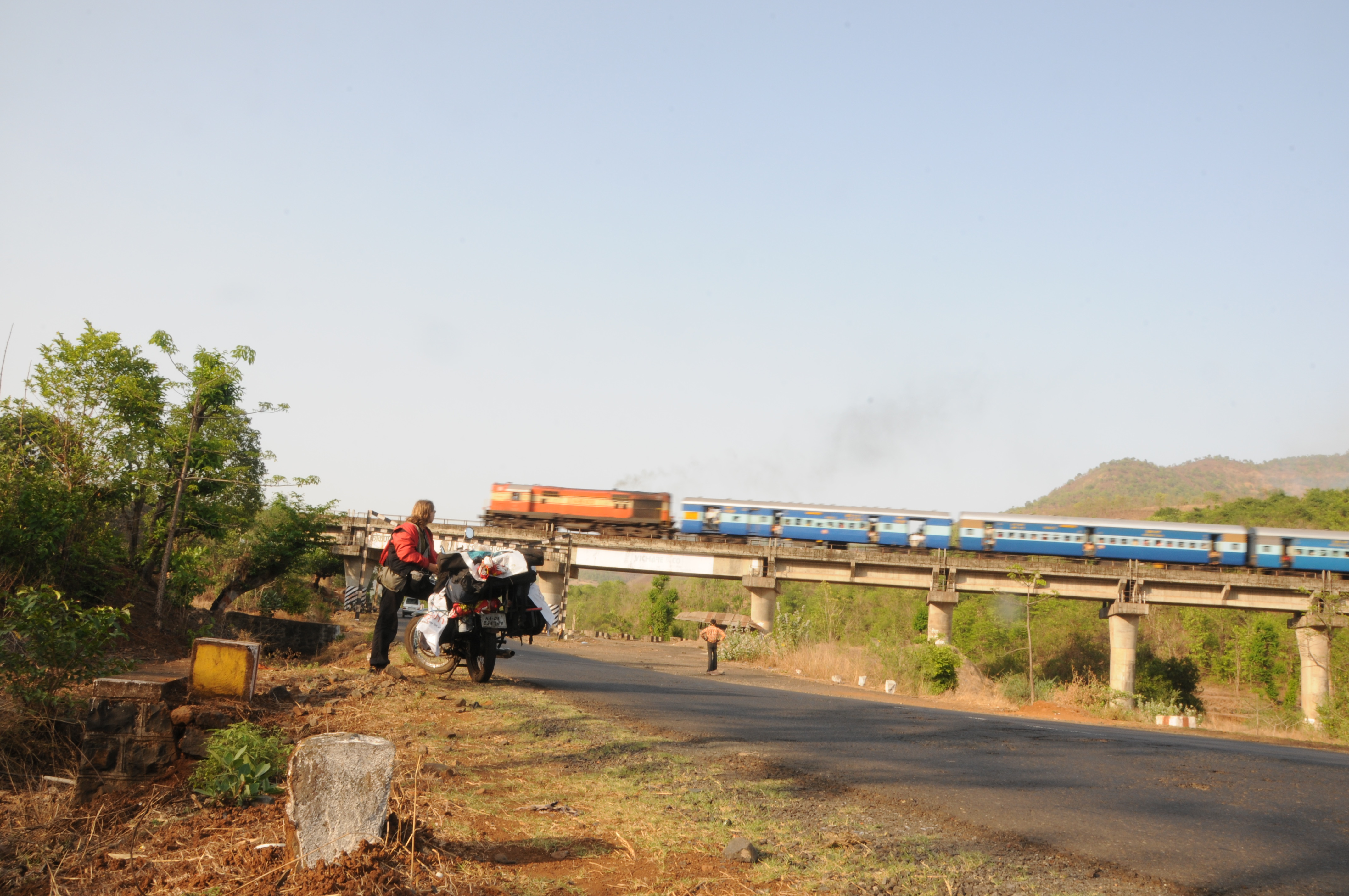
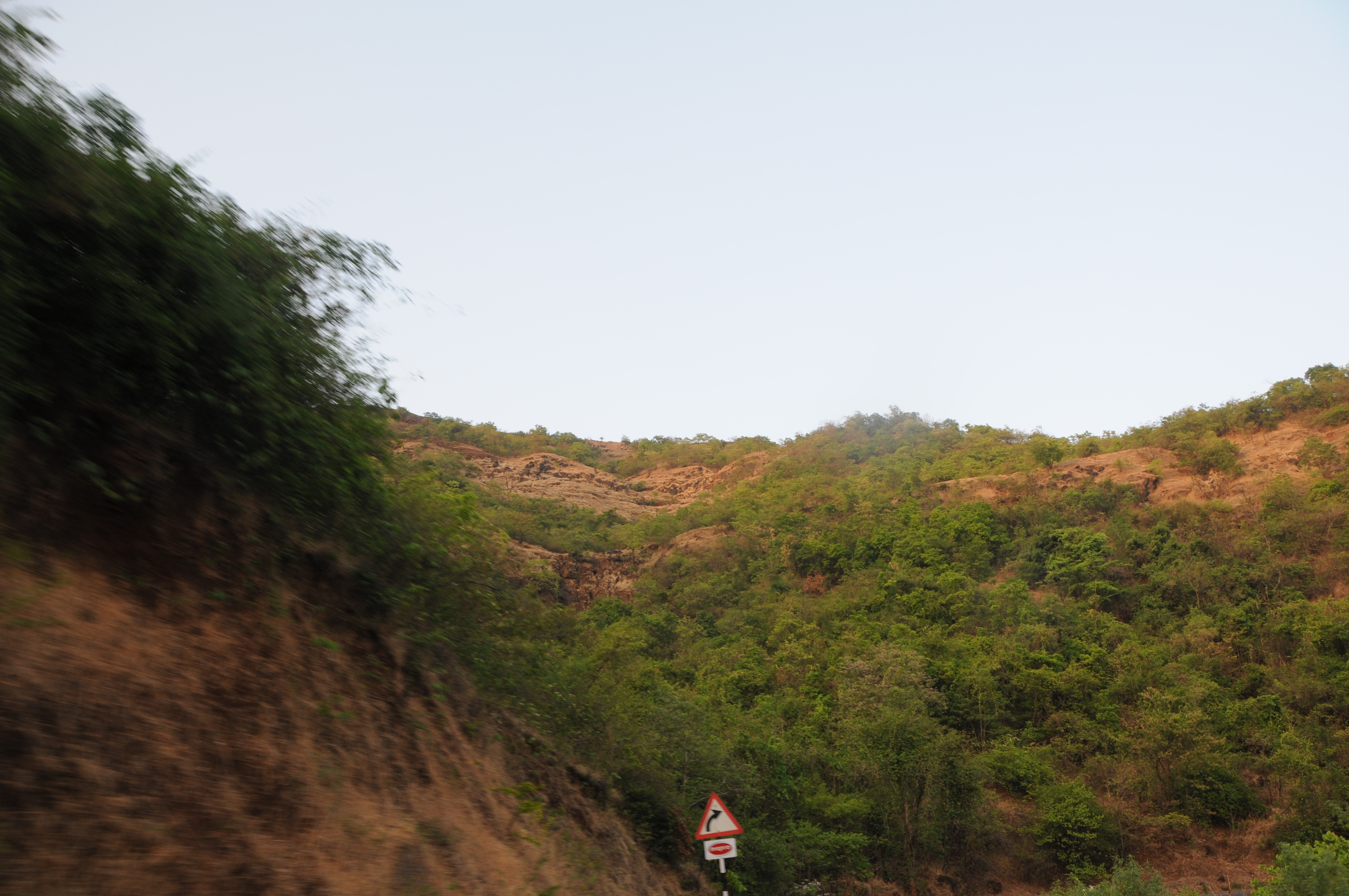
Day 8: Somwhere in Ambenali Ghat

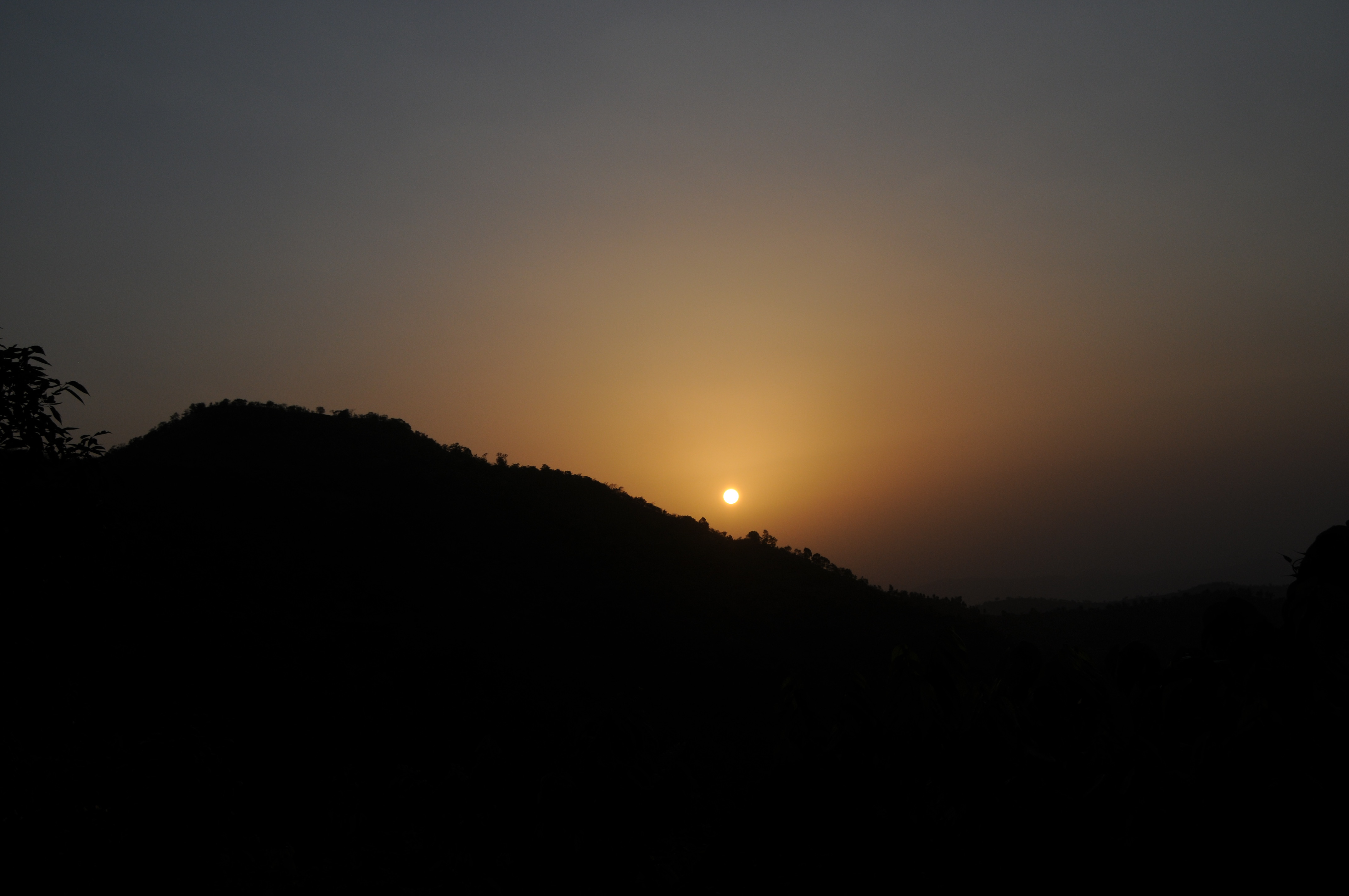
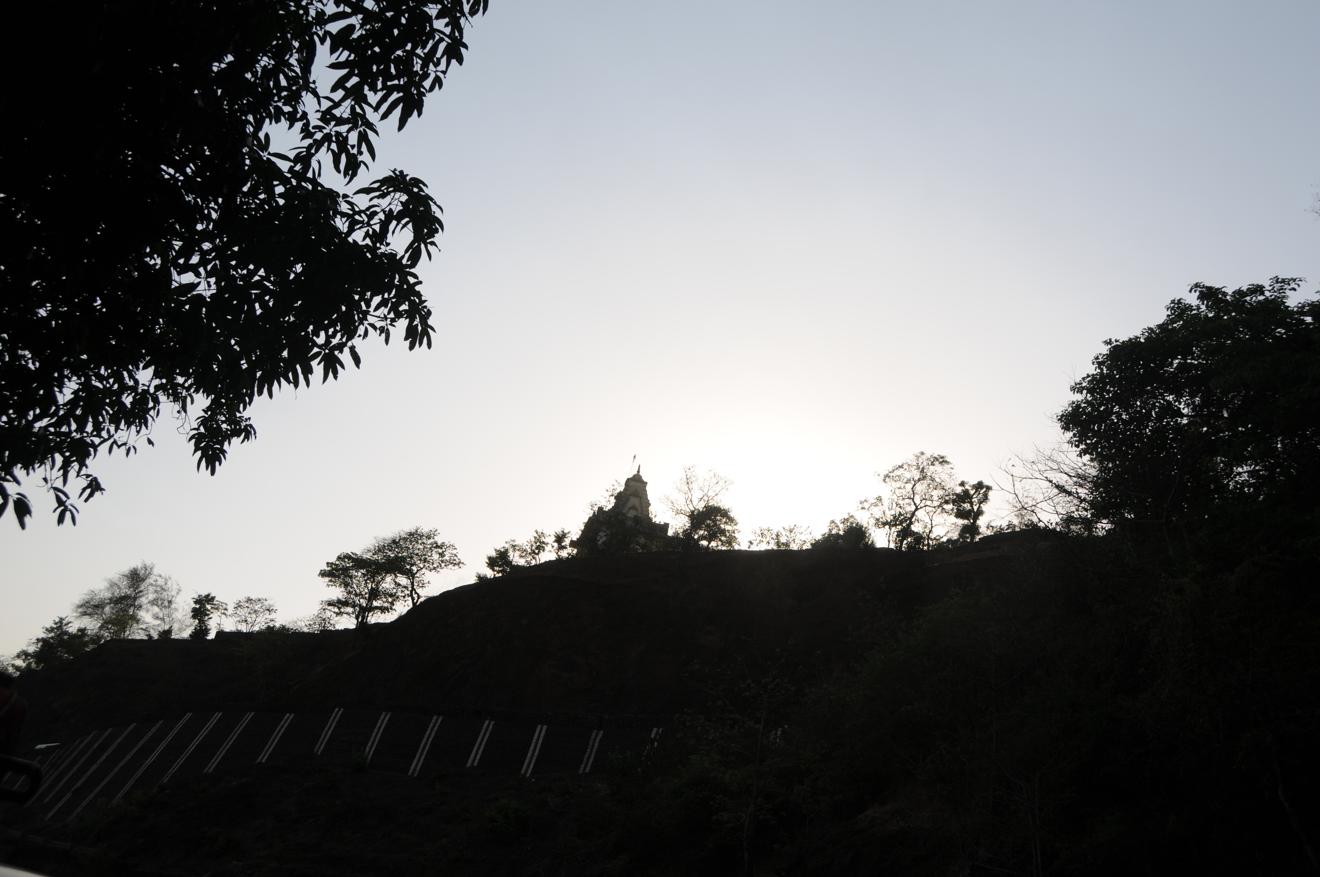
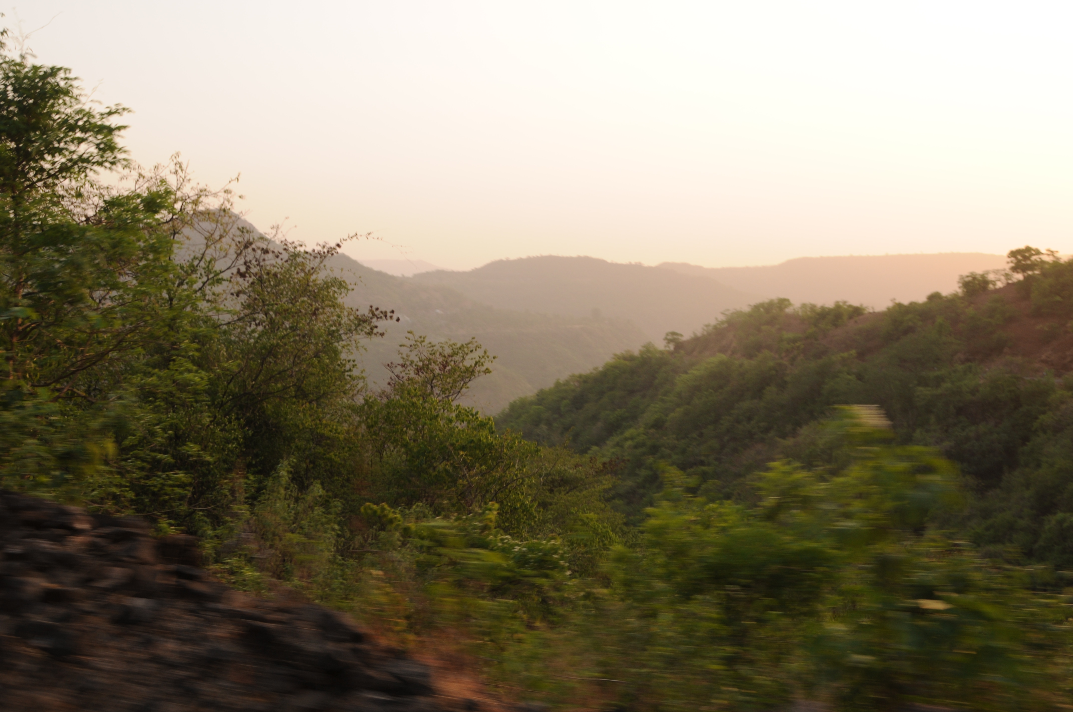
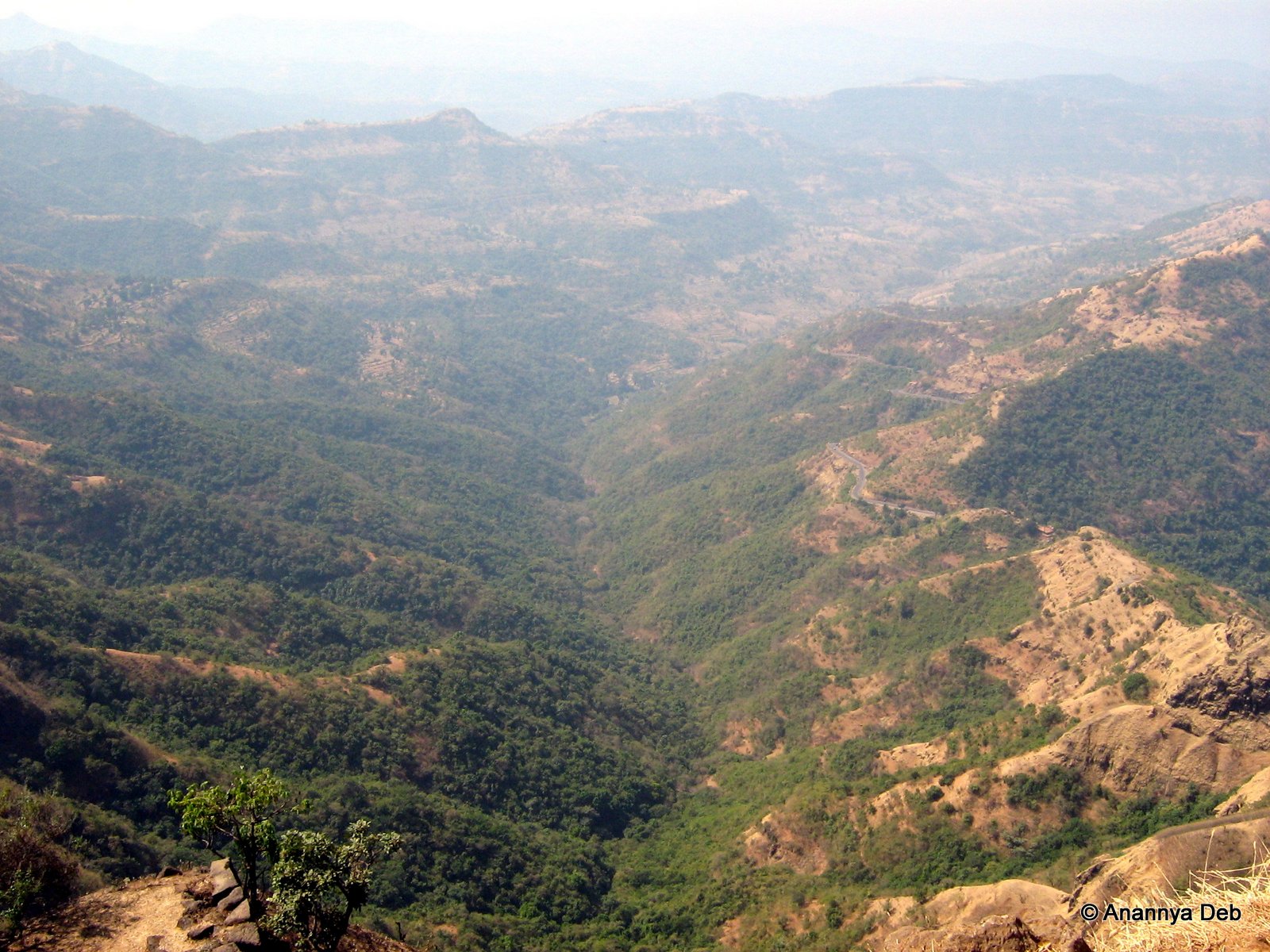
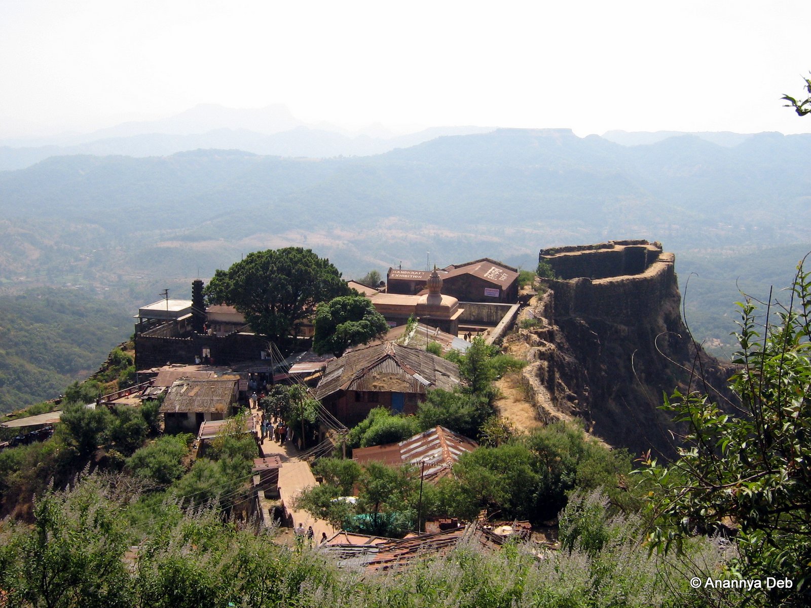
Pratapgad, January 2007
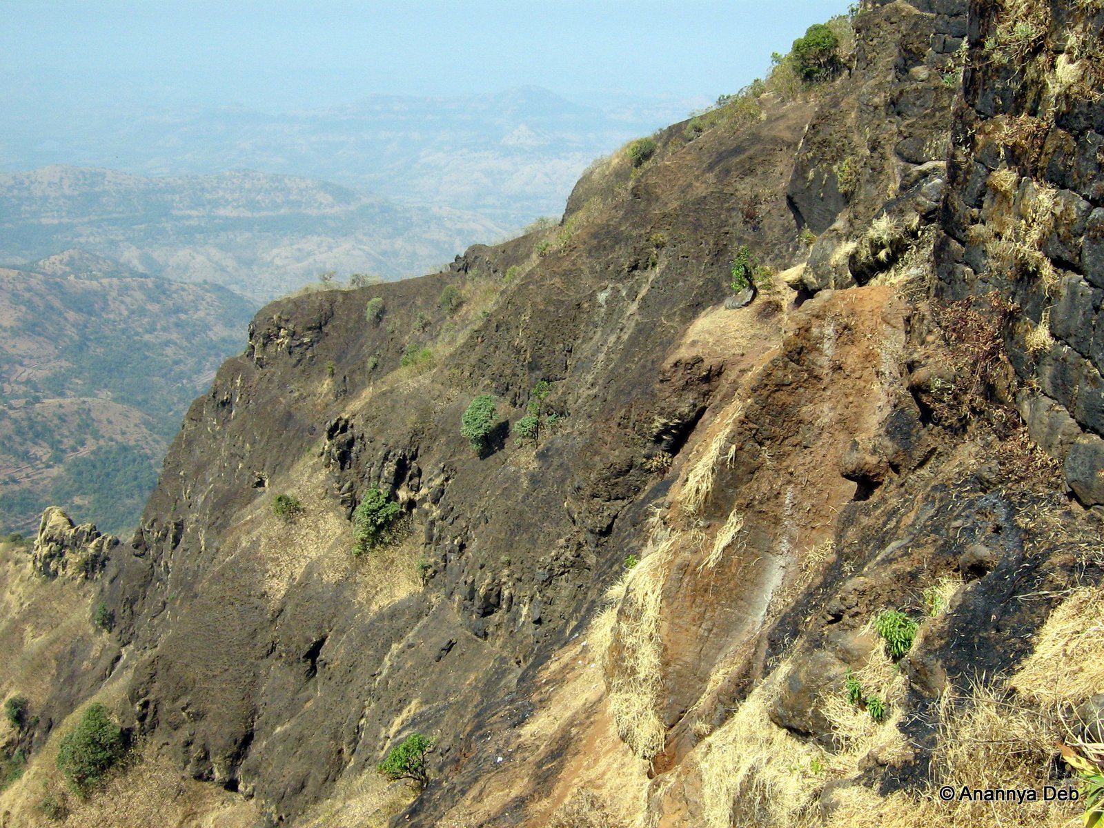
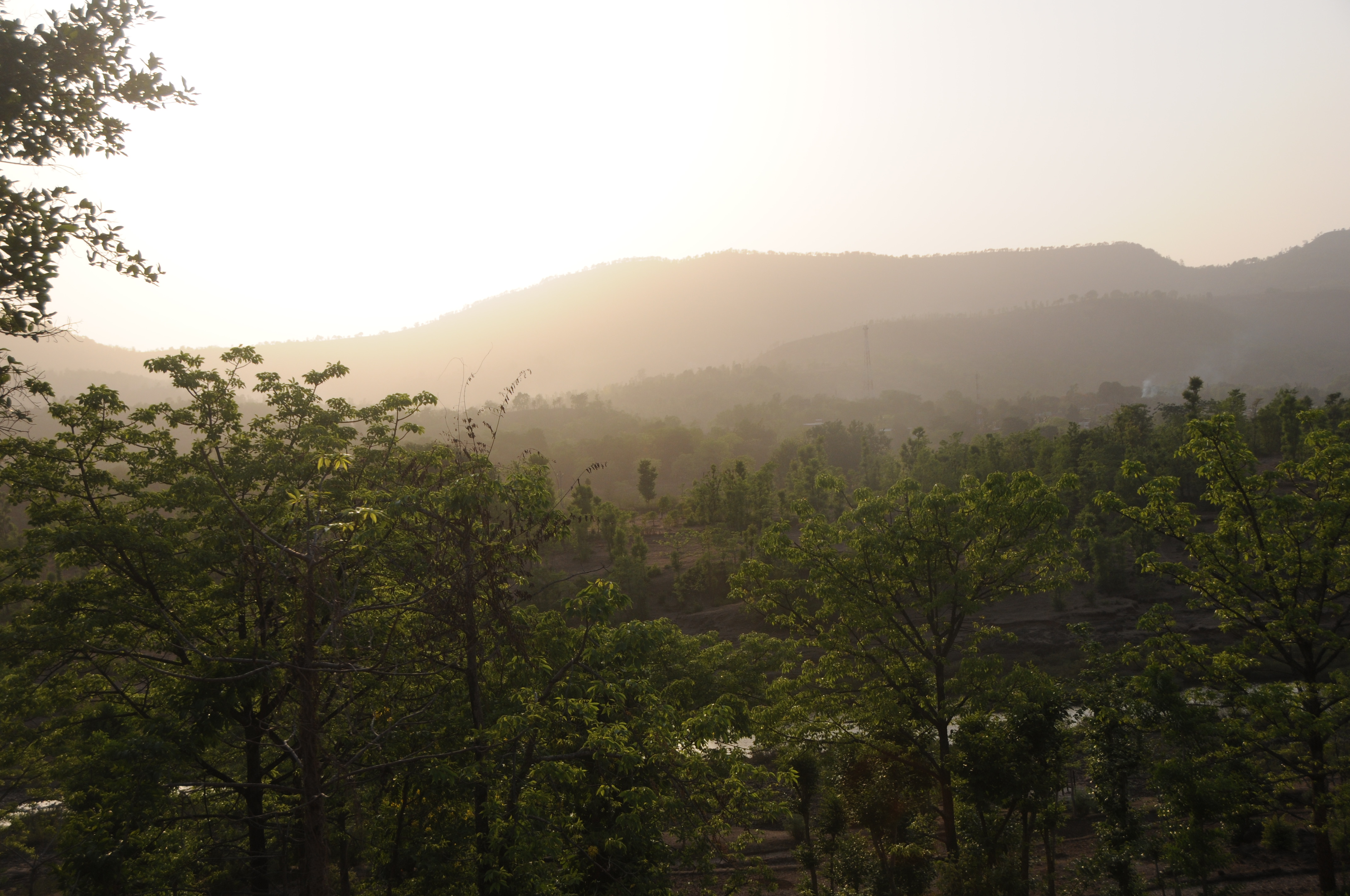
Pratapgad, January 2007
Dear Sir / Madam, Completed mini Science Communication tour of Mahabaleshwar, Wai, Vasole/Tupewadi-DAE Girisanchar 27. Delivered 8 sessions, addressed 900 students, teachers & general public. All credit to Nitin Raut Sir, Dr Randive Madam, Satish Shirk
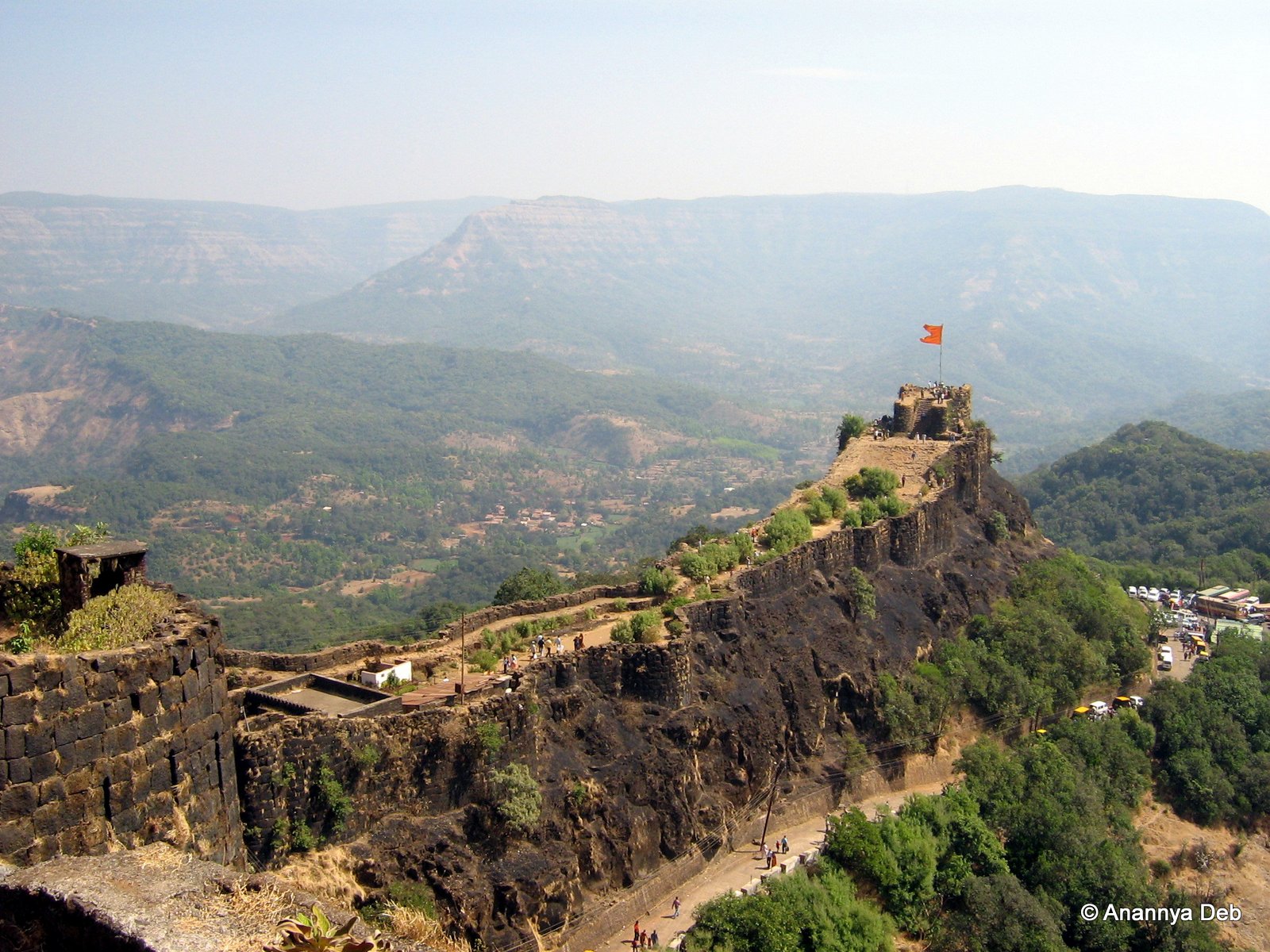
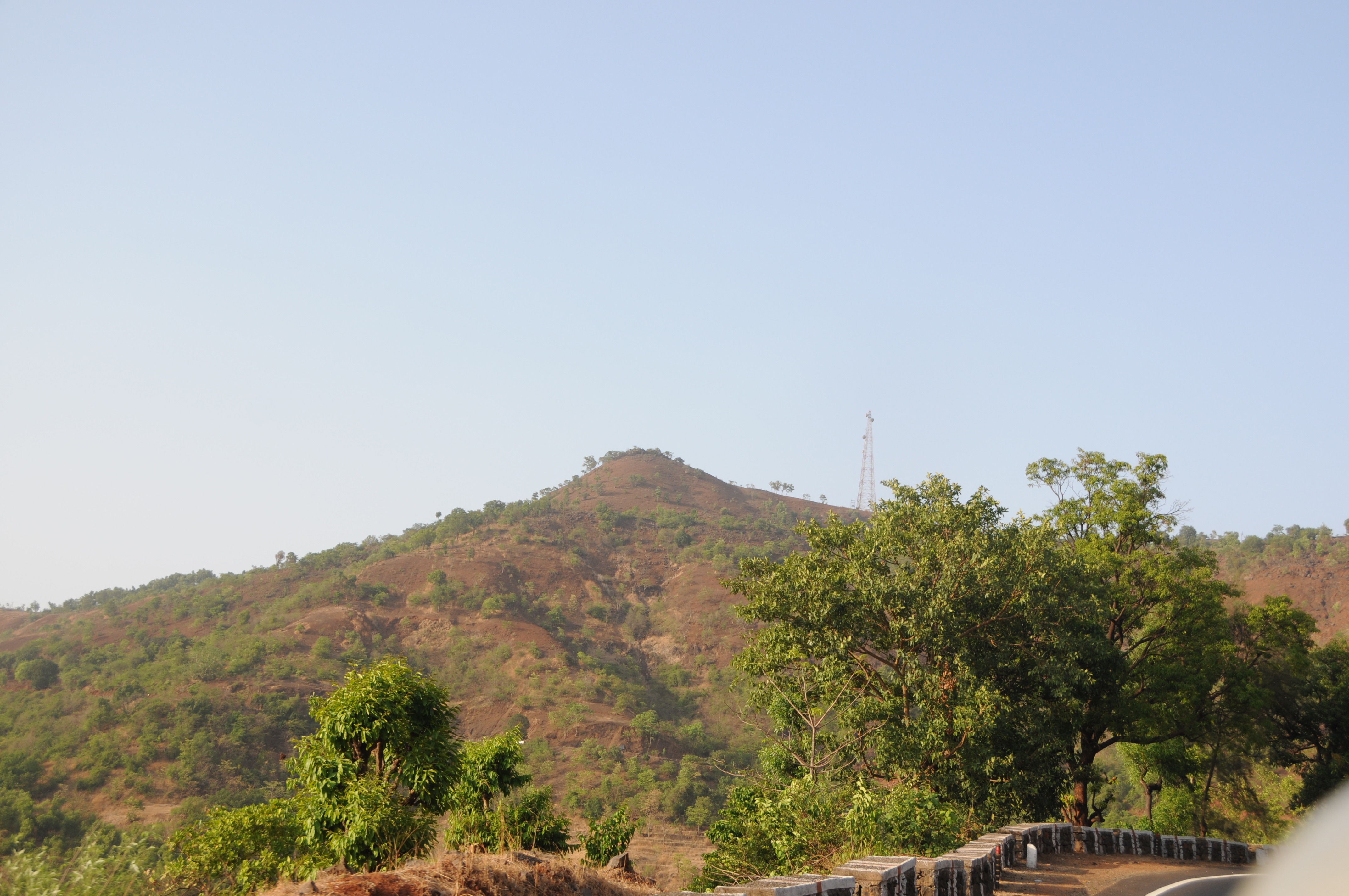
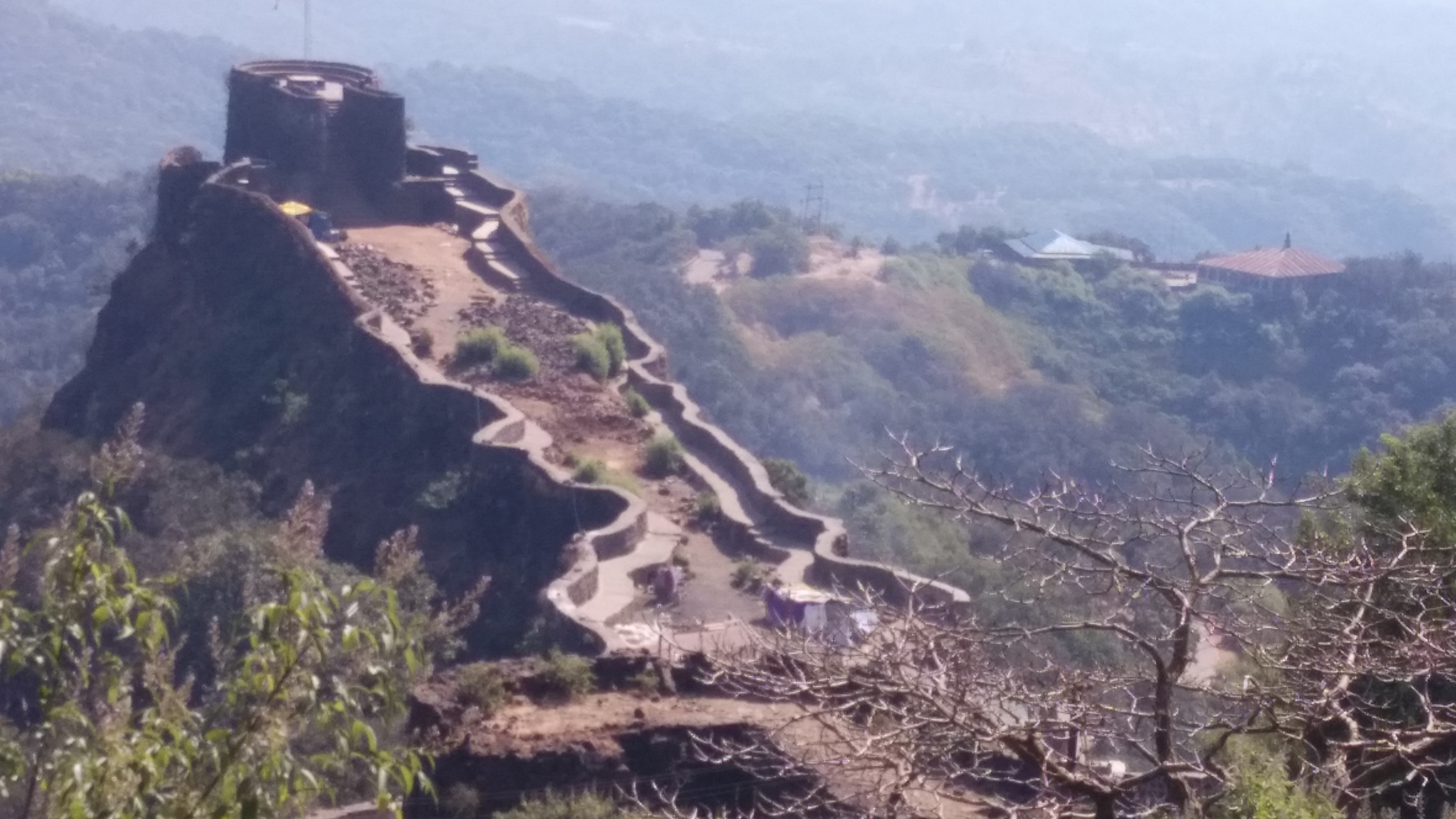
Pratapgad, January 2007
Pratapgad, January 2007
Pratapgad, January 2007

Pratapgad, January 2007
Pratapgad, January 2007
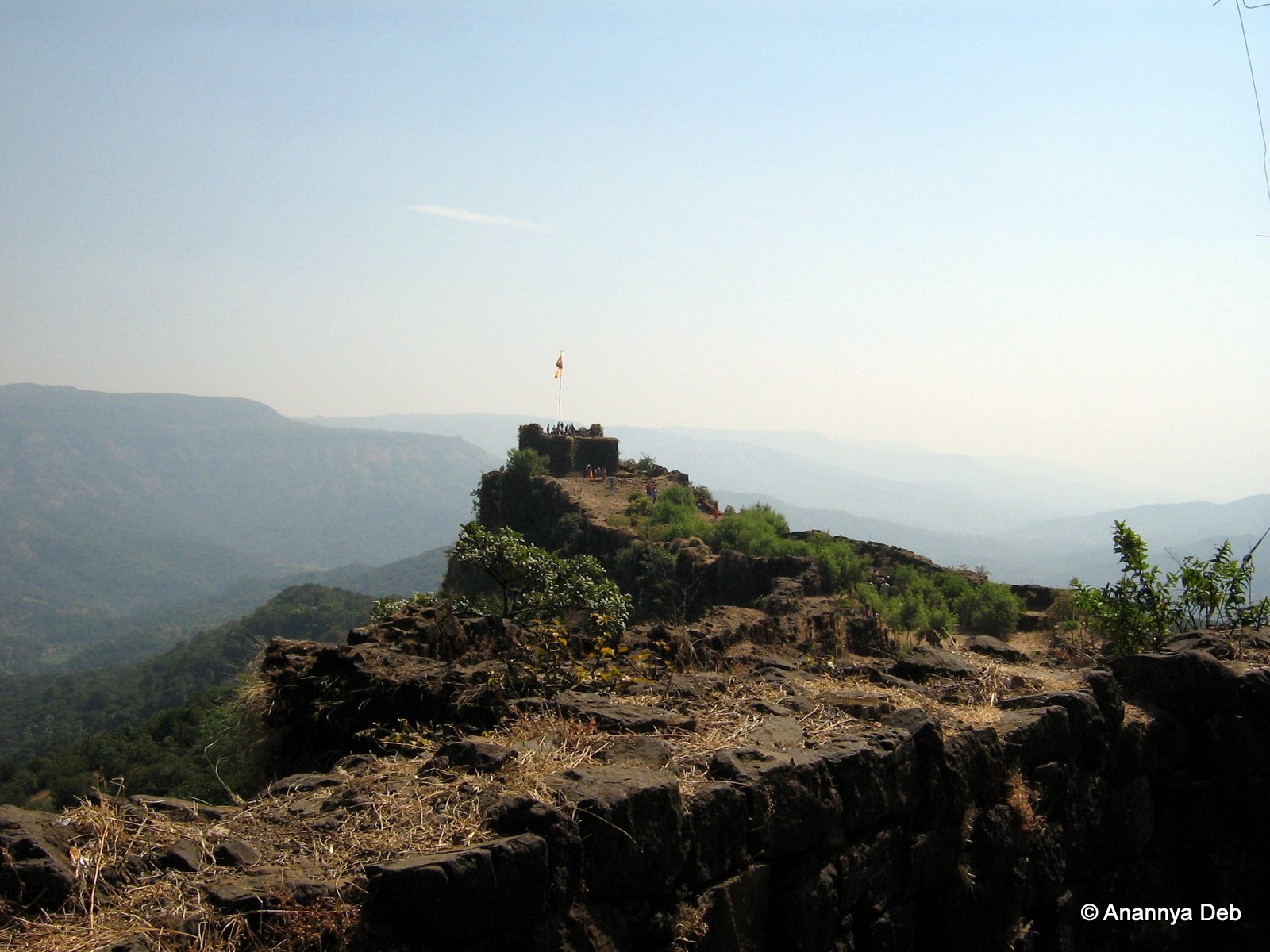
Pratapgad, January 2007
Topographic Map of Bhogaon Bk., Maharashtra, India
Find elevation by address:

Places in Bhogaon Bk., Maharashtra, India:
Places near Bhogaon Bk., Maharashtra, India:
Kashedi Ghat
Warathi
Jaoli
Mahabaleshwar
Kandat
Zadani
Parut
Takavali
Manghar
Shirnar
Kharoshi
Saloshi
Parwat T. Wagawale
Uchat
Kalamgaon
Chikhali
Renoshi
Vivar
Golegaon
Yerne Bk
Recent Searches:
- Elevation of 10370, West 107th Circle, Westminster, Jefferson County, Colorado, 80021, USA
- Elevation of 611, Roman Road, Old Ford, Bow, London, England, E3 2RW, United Kingdom
- Elevation of 116, Beartown Road, Underhill, Chittenden County, Vermont, 05489, USA
- Elevation of Window Rock, Colfax County, New Mexico, 87714, USA
- Elevation of 4807, Rosecroft Street, Kempsville Gardens, Virginia Beach, Virginia, 23464, USA
- Elevation map of Matawinie, Quebec, Canada
- Elevation of Sainte-Émélie-de-l'Énergie, Matawinie, Quebec, Canada
- Elevation of Rue du Pont, Sainte-Émélie-de-l'Énergie, Matawinie, Quebec, J0K2K0, Canada
- Elevation of 8, Rue de Bécancour, Blainville, Thérèse-De Blainville, Quebec, J7B1N2, Canada
- Elevation of Wilmot Court North, 163, University Avenue West, Northdale, Waterloo, Region of Waterloo, Ontario, N2L6B6, Canada
- Elevation map of Panamá Province, Panama
- Elevation of Balboa, Panamá Province, Panama
- Elevation of San Miguel, Balboa, Panamá Province, Panama
- Elevation of Isla Gibraleón, San Miguel, Balboa, Panamá Province, Panama
- Elevation of 4655, Krischke Road, Schulenburg, Fayette County, Texas, 78956, USA
- Elevation of Carnegie Avenue, Downtown Cleveland, Cleveland, Cuyahoga County, Ohio, 44115, USA
- Elevation of Walhonding, Coshocton County, Ohio, USA
- Elevation of Clifton Down, Clifton, Bristol, City of Bristol, England, BS8 3HU, United Kingdom
- Elevation map of Auvergne-Rhône-Alpes, France
- Elevation map of Upper Savoy, Auvergne-Rhône-Alpes, France