Elevation of Saloshi, Maharashtra, India
Location: India > Maharashtra > Satara >
Longitude: 73.6330166
Latitude: 17.7715499
Elevation: 773m / 2536feet
Barometric Pressure: 92KPa
Elevation Map:
Satellite Map:
Related Photos:

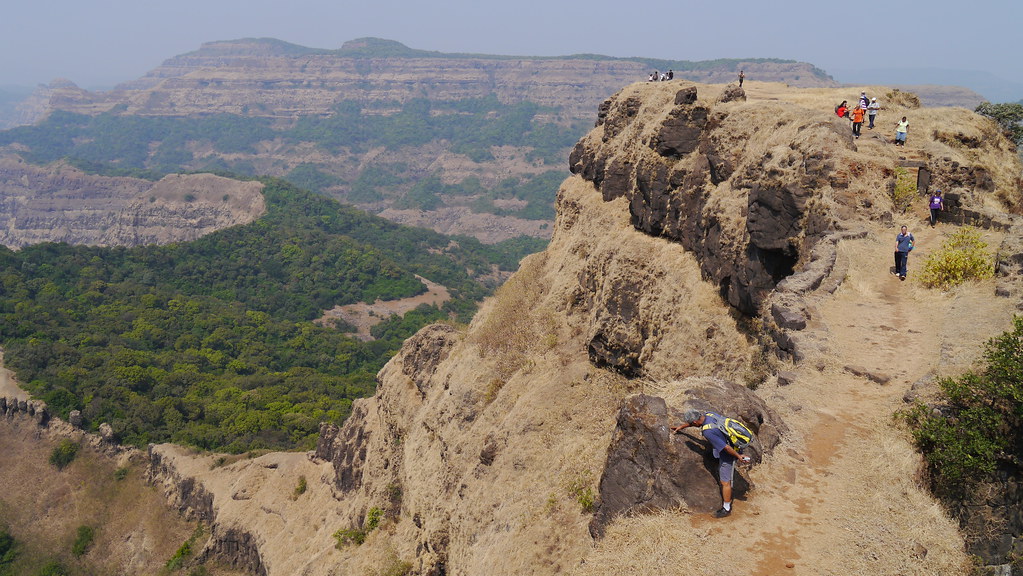
... viewing Babu Kada from Vasota fort

... view from Vasota fort

... viewing from Nageshwar Point of Vasota fort

... view from Vasota fort

... viewing from Nageshwar Point of Vasota fort

... view from Vasota fort

... view from Vasota fort

Chinaman waterfalls on the Tiger trail, Mahabaleshwar, India
The Krishna river at its source

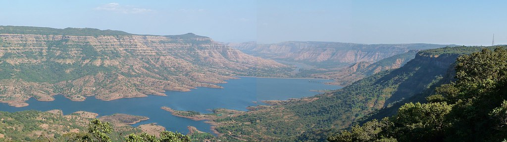
Vasota ... from Koyna Backwaters

Raghuveer Ghat

... Koyna Backwaters
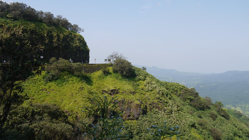
Ambenali Ghat

Impatiens acaulis

Adelocaryum lambertianum (C.B.Clarke) R.R.Mill

... a cistern at Vasota fort
... Vasota fort

... Vasota fort

... Vasota fort

Ambenali Ghat

Ambenali Ghat
Topographic Map of Saloshi, Maharashtra, India
Find elevation by address:

Places near Saloshi, Maharashtra, India:
Uchat
Kandat
Zadani
Lamaj
Kharoshi
Renoshi
Rule
Shirnar
Kotroshi
Kalamgaon
Velapur
Vivar
Sonat
Mahabaleshwar Agro Village
Khambil Chorge
Vengale
Khambil Pokale
Vanavli T. Solasi
Rameghar
Tapola
Recent Searches:
- Elevation of Corso Fratelli Cairoli, 35, Macerata MC, Italy
- Elevation of Tallevast Rd, Sarasota, FL, USA
- Elevation of 4th St E, Sonoma, CA, USA
- Elevation of Black Hollow Rd, Pennsdale, PA, USA
- Elevation of Oakland Ave, Williamsport, PA, USA
- Elevation of Pedrógão Grande, Portugal
- Elevation of Klee Dr, Martinsburg, WV, USA
- Elevation of Via Roma, Pieranica CR, Italy
- Elevation of Tavkvetili Mountain, Georgia
- Elevation of Hartfords Bluff Cir, Mt Pleasant, SC, USA