Elevation of Kalamgaon, Maharashtra, India
Location: India > Maharashtra > Satara >
Longitude: 73.6683371
Latitude: 17.8319823
Elevation: 726m / 2382feet
Barometric Pressure: 93KPa
Elevation Map:
Satellite Map:
Related Photos:

View of the Krishna River seen from Mahabaleshwar, India

@ Mahabaleshwar, Maharashtra

VIew from Table Land, Panchgani

Happy Birthday, Varun!

A distant view of LIngmala Waterfalls, Mahabaleshwar

The Krishna

Morning view of the lake at Bamnoli

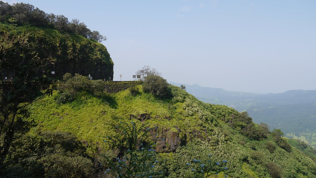
Kates Point

Kate's Point | Mahabaleshwar

Parsi Point Panorama

@ Mahabaleshwar, Maharashtra

Bird's eye view of Army Quarters at Pratapgarh Fort

143052: Afzal Buruj (Bastion)

... view from Lodwick Point

... view from Lingmala Falls

Venna valley viewed from Lingmala Falls

Kate's Point viewed from Needle Hole Point

... view from Parsi Point

... view from Lodwick Point
... view from Lodwick Point

Mahableshwar View from Elephant Point

Chinaman waterfalls on the Tiger trail, Mahabaleshwar, India

When the sky gets moody much before Sunset

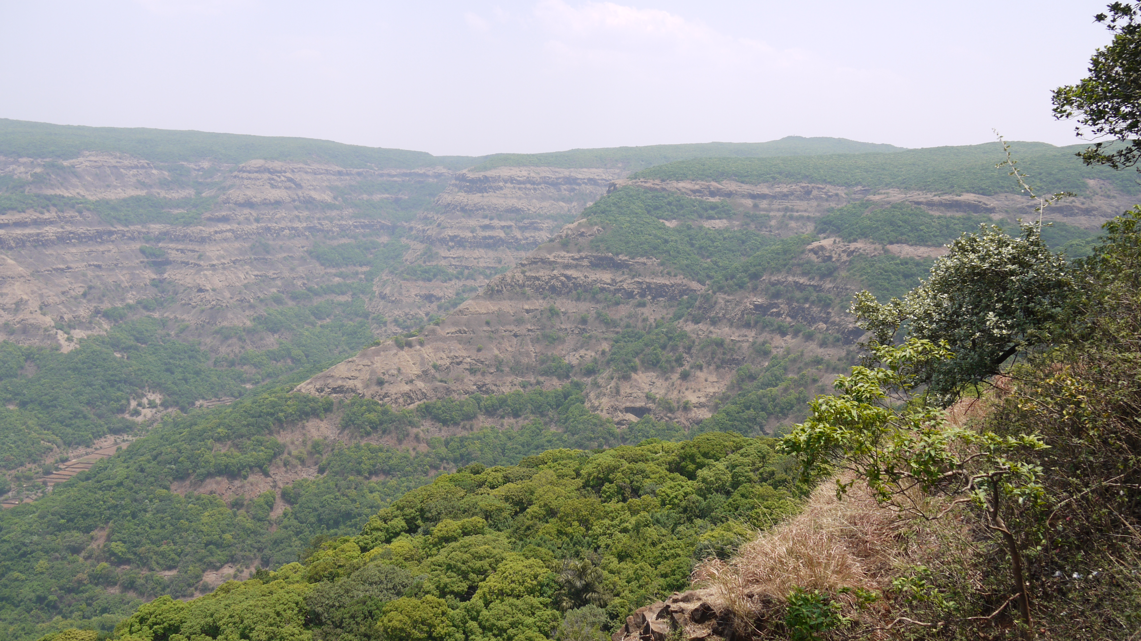
The Steep Valley

The Lone Tree
Ambenali Ghat

Mapro Garden, Panchgani-Mahabaleshwar Road, Maharashtra
Topographic Map of Kalamgaon, Maharashtra, India
Find elevation by address:

Places near Kalamgaon, Maharashtra, India:
Vivar
Shirnar
Kotroshi
Sonat
Kharoshi
Chikhali
Renoshi
Rule
Yerne Kh
Khambil Pokale
Parut
Soundari
Manghar
Khambil Chorge
Yerne Bk
Zadani
Velapur
Kuroshi
Saloshi
Vengale
Recent Searches:
- Elevation of Corso Fratelli Cairoli, 35, Macerata MC, Italy
- Elevation of Tallevast Rd, Sarasota, FL, USA
- Elevation of 4th St E, Sonoma, CA, USA
- Elevation of Black Hollow Rd, Pennsdale, PA, USA
- Elevation of Oakland Ave, Williamsport, PA, USA
- Elevation of Pedrógão Grande, Portugal
- Elevation of Klee Dr, Martinsburg, WV, USA
- Elevation of Via Roma, Pieranica CR, Italy
- Elevation of Tavkvetili Mountain, Georgia
- Elevation of Hartfords Bluff Cir, Mt Pleasant, SC, USA