Elevation of Parut, Maharashtra, India
Location: India > Maharashtra > Pune Division >
Longitude: 73.6573001
Latitude: 17.8834439
Elevation: -10000m / -32808feet
Barometric Pressure: 295KPa
Elevation Map:
Satellite Map:
Related Photos:

Kate's Point | Mahabaleshwar

@ Mahabaleshwar, Maharashtra

View of the Krishna River seen from Mahabaleshwar, India

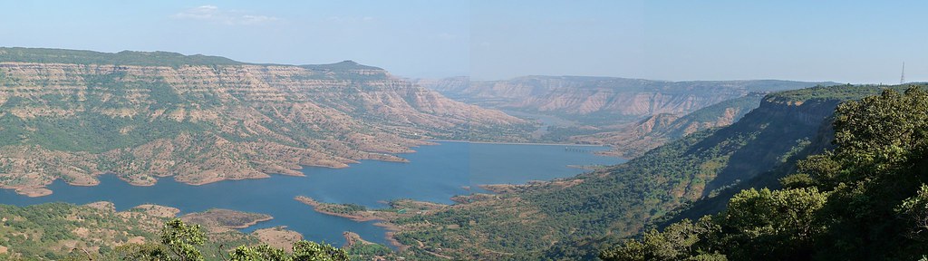
Parsi Point Panorama

VIew from Table Land, Panchgani

@ Mahabaleshwar, Maharashtra

Panoramic view of Krishna river

Happy Birthday, Varun!

Bird's eye view of Army Quarters at Pratapgarh Fort

Kates Point

A distant view of LIngmala Waterfalls, Mahabaleshwar

... view from Lingmala Falls

143052: Afzal Buruj (Bastion)

... view from Lodwick Point

Venna valley viewed from Lingmala Falls

Kate's Point viewed from Needle Hole Point

The Krishna

... view from Parsi Point

Morning view of the lake at Bamnoli

... view from Lodwick Point

Mahableshwar View from Elephant Point

Chinaman waterfalls on the Tiger trail, Mahabaleshwar, India

IMAG2141-01

Take me to the place I love

Beyond Scenic

Mahabaleshwar | Lingmala waterfalls
The Krishna river at its source

Day 8: Somwhere in Ambenali Ghat

Lingmala Falls Doh

Mapro Garden, Panchgani-Mahabaleshwar Road, Maharashtra

Dear Sir / Madam, Completed mini Science Communication tour of Mahabaleshwar, Wai, Vasole/Tupewadi-DAE Girisanchar 27. Delivered 8 sessions, addressed 900 students, teachers & general public. All credit to Nitin Raut Sir, Dr Randive Madam, Satish Shirk

Mahabaleshwar Trip 12

Mapro Garden, Panchgani-Mahabaleshwar Road, Maharashtra
Topographic Map of Parut, Maharashtra, India
Find elevation by address:

Places near Parut, Maharashtra, India:
Manghar
Chikhali
Yerne Bk
Yerne Kh
Vivar
Kalamgaon
Shirnar
Sonat
Moleshwar
Vahite
Soundari
Majarewadi
Kotroshi
Rengadi
Mukavale
Khambil Pokale
Kharoshi
Vatambe
Gureghar
Kuroshi
Recent Searches:
- Elevation of Corso Fratelli Cairoli, 35, Macerata MC, Italy
- Elevation of Tallevast Rd, Sarasota, FL, USA
- Elevation of 4th St E, Sonoma, CA, USA
- Elevation of Black Hollow Rd, Pennsdale, PA, USA
- Elevation of Oakland Ave, Williamsport, PA, USA
- Elevation of Pedrógão Grande, Portugal
- Elevation of Klee Dr, Martinsburg, WV, USA
- Elevation of Via Roma, Pieranica CR, Italy
- Elevation of Tavkvetili Mountain, Georgia
- Elevation of Hartfords Bluff Cir, Mt Pleasant, SC, USA