Elevation of Warathi, Maharashtra, India
Location: India > Maharashtra > Raigad >
Longitude: 73.3074938
Latitude: 18.0575412
Elevation: 0m / 0feet
Barometric Pressure: 0KPa
Related Photos:

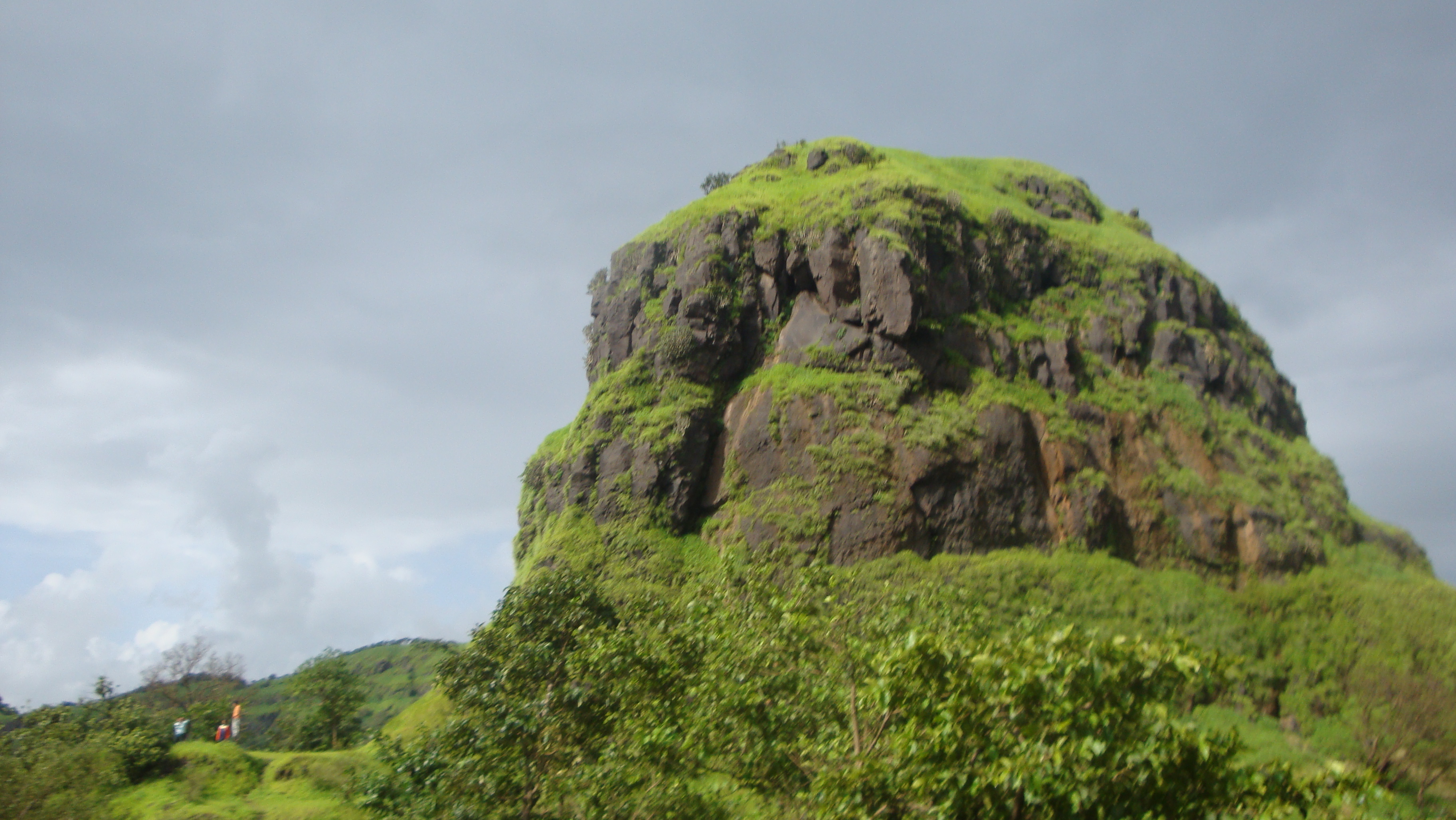
Beautiful view from Raigarh Fort, Ropeway is the only way to reach here from base, a historical..Great Maratha Warrior Shivaji Maharaj's Fort. • • #fort #fortview #raigarhfort #raigarh #raigarhdiaries #maratha #marathawarrior #warriors #maharashtra #india

view from gandharpale caves , mahad

view from gandharpale caves , mahad

voila....sunrise pandharpur-maphral road

Konkan (70)

getting ready for sunrise at pandharpur-maphral road

Konkan (63)

Konkan (65)
Konkan (69)

Konkan (71)

Raigad-20120421-14
Topographic Map of Warathi, Maharashtra, India
Find elevation by address:

Places near Warathi, Maharashtra, India:
Takavali
Mangaon
Bhogaon Bk.
Kashedi Ghat
Raigad Fort
Gherakilla Raigad
Mazeri
Dapoli
Jaoli
Unnamed Road
Varavand
Varandha Ghat Road
Mahabaleshwar
Bhatti
Charhat Wadi
Mayank Cashew Factory
Torna Fort
Kironde Hills
Parut
Manghar
Recent Searches:
- Elevation of 116, Beartown Road, Underhill, Chittenden County, Vermont, 05489, USA
- Elevation of Window Rock, Colfax County, New Mexico, 87714, USA
- Elevation of 4807, Rosecroft Street, Kempsville Gardens, Virginia Beach, Virginia, 23464, USA
- Elevation map of Matawinie, Quebec, Canada
- Elevation of Sainte-Émélie-de-l'Énergie, Matawinie, Quebec, Canada
- Elevation of Rue du Pont, Sainte-Émélie-de-l'Énergie, Matawinie, Quebec, J0K2K0, Canada
- Elevation of 8, Rue de Bécancour, Blainville, Thérèse-De Blainville, Quebec, J7B1N2, Canada
- Elevation of Wilmot Court North, 163, University Avenue West, Northdale, Waterloo, Region of Waterloo, Ontario, N2L6B6, Canada
- Elevation map of Panamá Province, Panama
- Elevation of Balboa, Panamá Province, Panama
- Elevation of San Miguel, Balboa, Panamá Province, Panama
- Elevation of Isla Gibraleón, San Miguel, Balboa, Panamá Province, Panama
- Elevation of 4655, Krischke Road, Schulenburg, Fayette County, Texas, 78956, USA
- Elevation of Carnegie Avenue, Downtown Cleveland, Cleveland, Cuyahoga County, Ohio, 44115, USA
- Elevation of Walhonding, Coshocton County, Ohio, USA
- Elevation of Clifton Down, Clifton, Bristol, City of Bristol, England, BS8 3HU, United Kingdom
- Elevation map of Auvergne-Rhône-Alpes, France
- Elevation map of Upper Savoy, Auvergne-Rhône-Alpes, France
- Elevation of Chamonix-Mont-Blanc, Upper Savoy, Auvergne-Rhône-Alpes, France
- Elevation of 908, Northwood Drive, Bridge Field, Chesapeake, Virginia, 23322, USA