Elevation of Mazeri, Maharashtra, India
Location: India > Maharashtra > Pune >
Longitude: 73.5991621
Latitude: 18.1261959
Elevation: 338m / 1109feet
Barometric Pressure: 0KPa
Related Photos:

Panoramic view of Nira Deoghar Dam

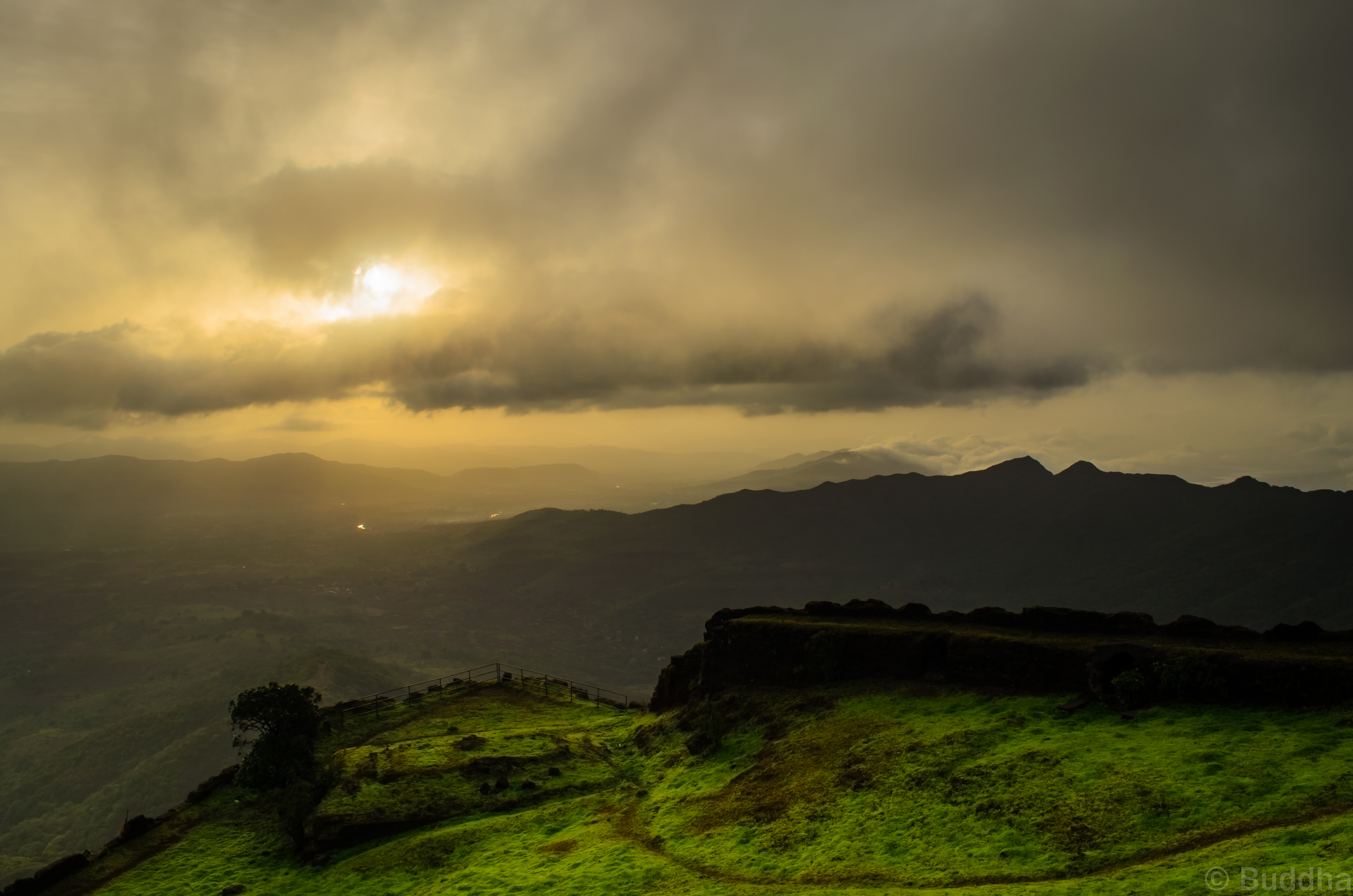
A morning view from Rajgad

The pursuit, even of the best things, ought to be calm and tranquil.

Shivthar Ghal Waterfall

Colors are Back
Sunrise point @ Rajgadfort

Sanjivani machi of Rajgad

nira deoghar dam.....

nira deoghar dam.....

nira deoghar dam.....

the mighty varandha ghat

nira deoghar dam.....

the mighty varandha ghat
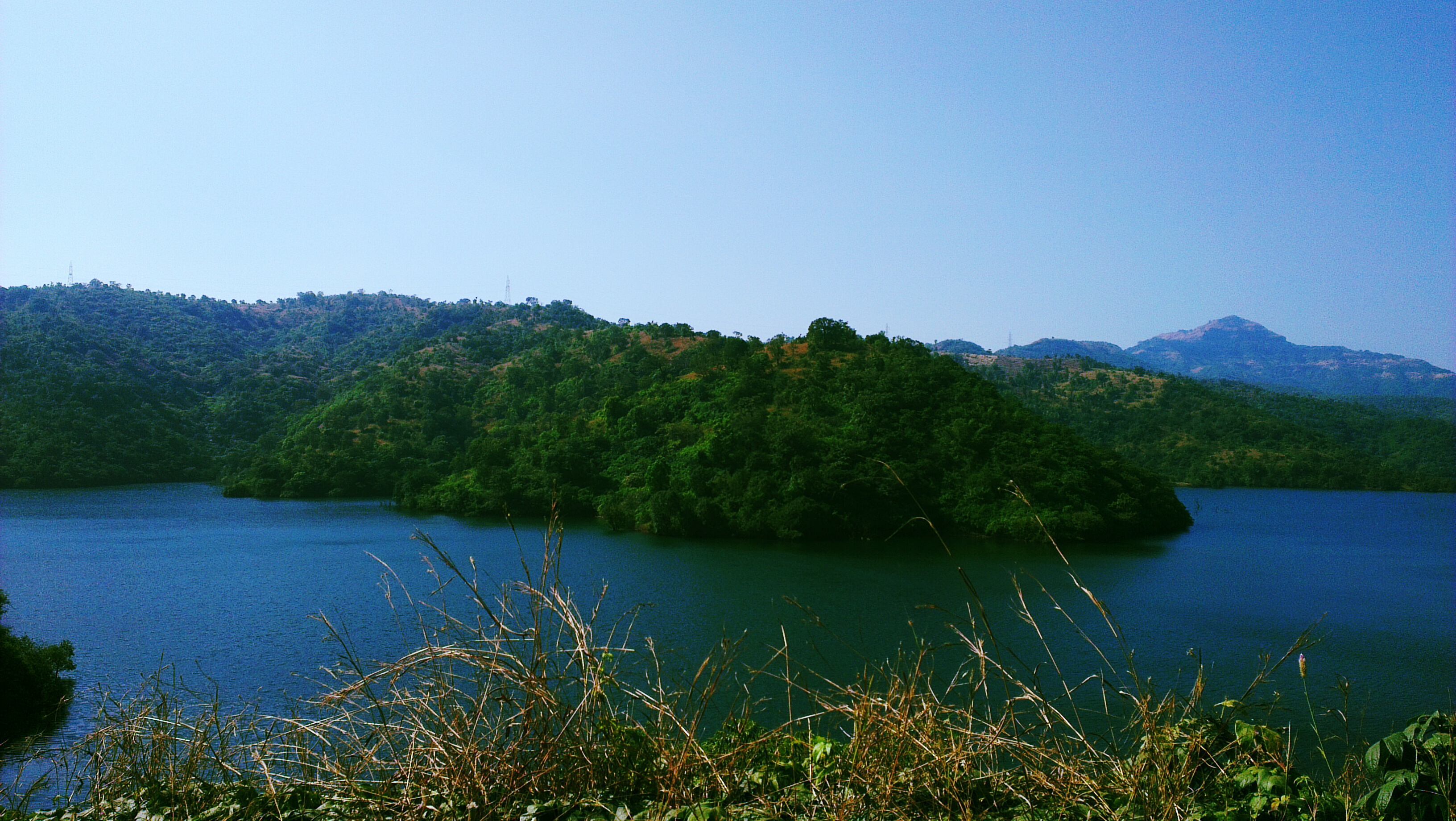
nira deoghar dam.....

the mighty varandha ghat

Konkan (75)

the mighty varandha ghat

the mighty varandha ghat

the mighty varandha ghat

the mighty varandha ghat

Konkan (72)
Topographic Map of Mazeri, Maharashtra, India
Find elevation by address:

Places near Mazeri, Maharashtra, India:
Unnamed Road
Varavand
Varandha Ghat Road
Raireshwar Fort/plateau / Temple
Rajgad Fort
Kironde Hills
Charhat Wadi
Torna Fort
Bhatti
Vadoli
Washivali
Kondhavali
Kondhavale
Jaoli
Raigad Fort
Golegaon
Gherakilla Raigad
Ulumb
Renavale
Mahabaleshwar
Recent Searches:
- Elevation map of Greenland, Greenland
- Elevation of Sullivan Hill, New York, New York, 10002, USA
- Elevation of Morehead Road, Withrow Downs, Charlotte, Mecklenburg County, North Carolina, 28262, USA
- Elevation of 2800, Morehead Road, Withrow Downs, Charlotte, Mecklenburg County, North Carolina, 28262, USA
- Elevation of Yangbi Yi Autonomous County, Yunnan, China
- Elevation of Pingpo, Yangbi Yi Autonomous County, Yunnan, China
- Elevation of Mount Malong, Pingpo, Yangbi Yi Autonomous County, Yunnan, China
- Elevation map of Yongping County, Yunnan, China
- Elevation of North 8th Street, Palatka, Putnam County, Florida, 32177, USA
- Elevation of 107, Big Apple Road, East Palatka, Putnam County, Florida, 32131, USA
- Elevation of Jiezi, Chongzhou City, Sichuan, China
- Elevation of Chongzhou City, Sichuan, China
- Elevation of Huaiyuan, Chongzhou City, Sichuan, China
- Elevation of Qingxia, Chengdu, Sichuan, China
- Elevation of Corso Fratelli Cairoli, 35, Macerata MC, Italy
- Elevation of Tallevast Rd, Sarasota, FL, USA
- Elevation of 4th St E, Sonoma, CA, USA
- Elevation of Black Hollow Rd, Pennsdale, PA, USA
- Elevation of Oakland Ave, Williamsport, PA, USA
- Elevation of Pedrógão Grande, Portugal