Elevation of Ulumb, Maharashtra, India
Location: India > Maharashtra > Satara >
Longitude: 73.7110078
Latitude: 17.9663235
Elevation: 931m / 3054feet
Barometric Pressure: 0KPa
Related Photos:

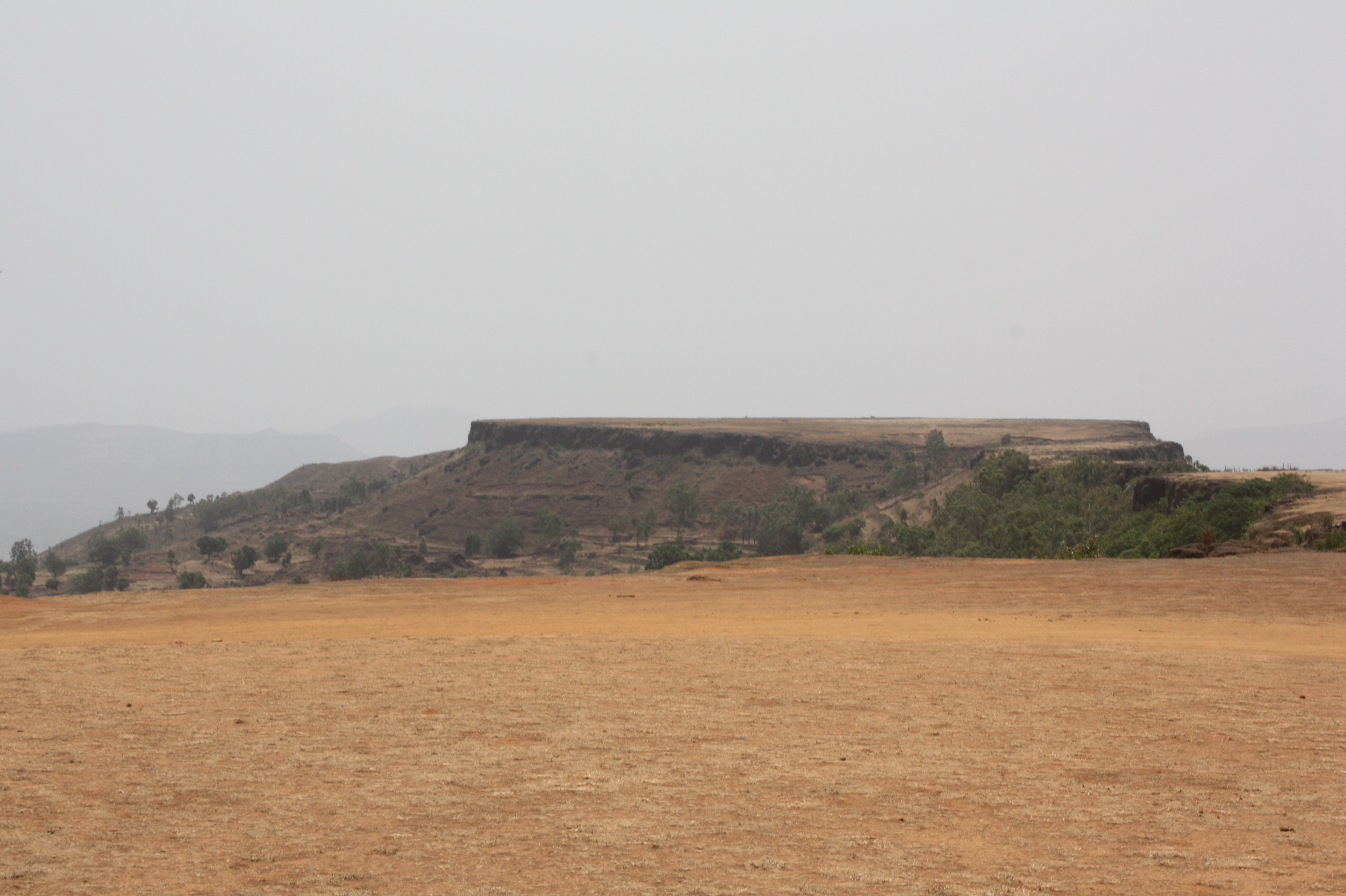
Kate's Point | Mahabaleshwar

View of the Krishna River seen from Mahabaleshwar, India

@ Mahabaleshwar, Maharashtra

VIew from Table Land, Panchgani

Parsi Point Panorama

@ Mahabaleshwar, Maharashtra

Happy Birthday, Varun!

A distant view of LIngmala Waterfalls, Mahabaleshwar

Bird's eye view of Army Quarters at Pratapgarh Fort

143052: Afzal Buruj (Bastion)

... view from Lodwick Point

... view from Lingmala Falls
View from Tableland, Panchgani

The Krishna

Venna valley viewed from Lingmala Falls

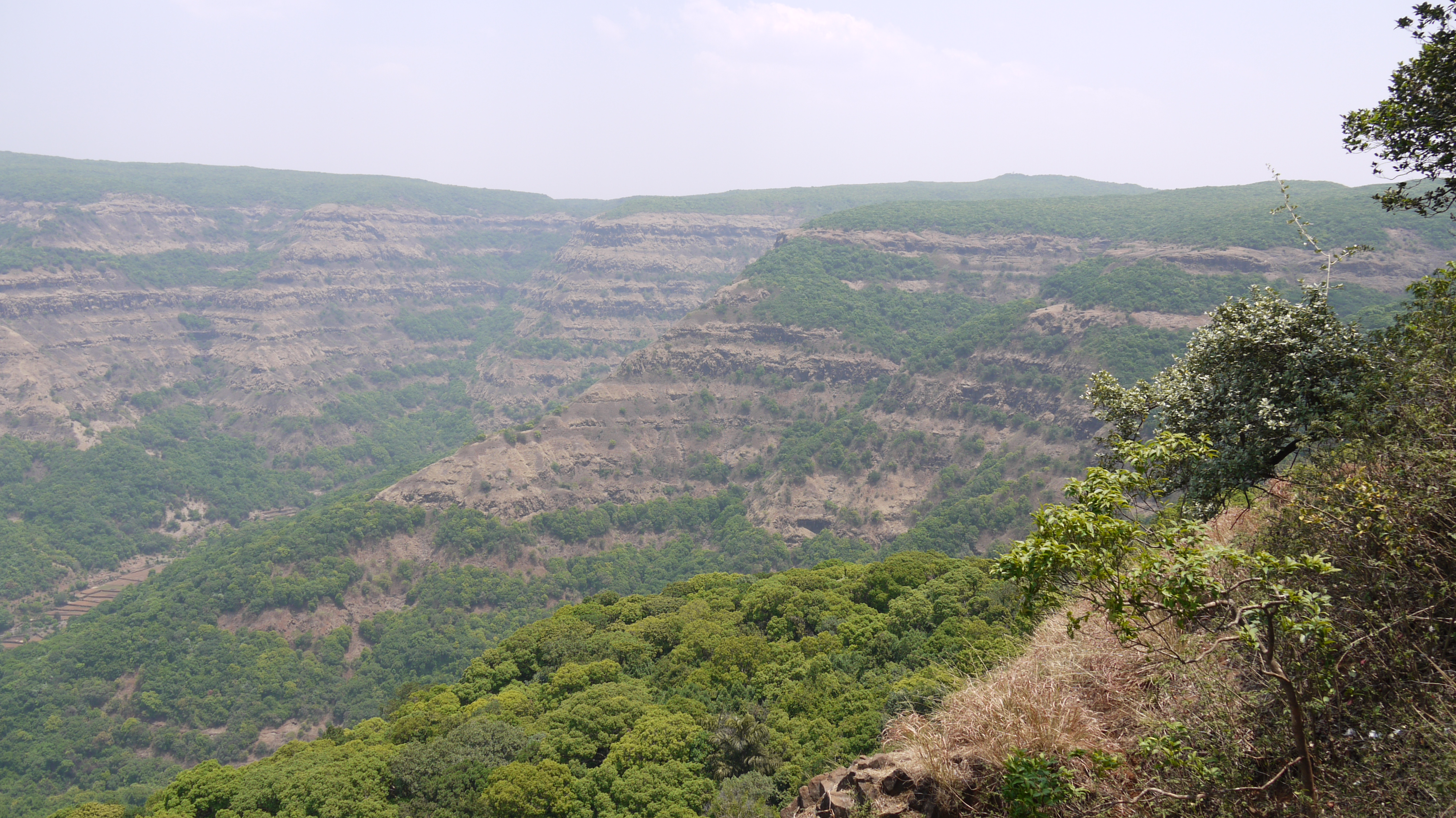
Kate's Point viewed from Needle Hole Point

... view from Parsi Point

... view from Lodwick Point

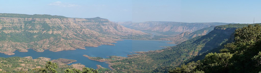
Morning view of the lake at Bamnoli
... view from Lodwick Point

View from Tableland, Panchgani

Lonely tree in the gloomy weather

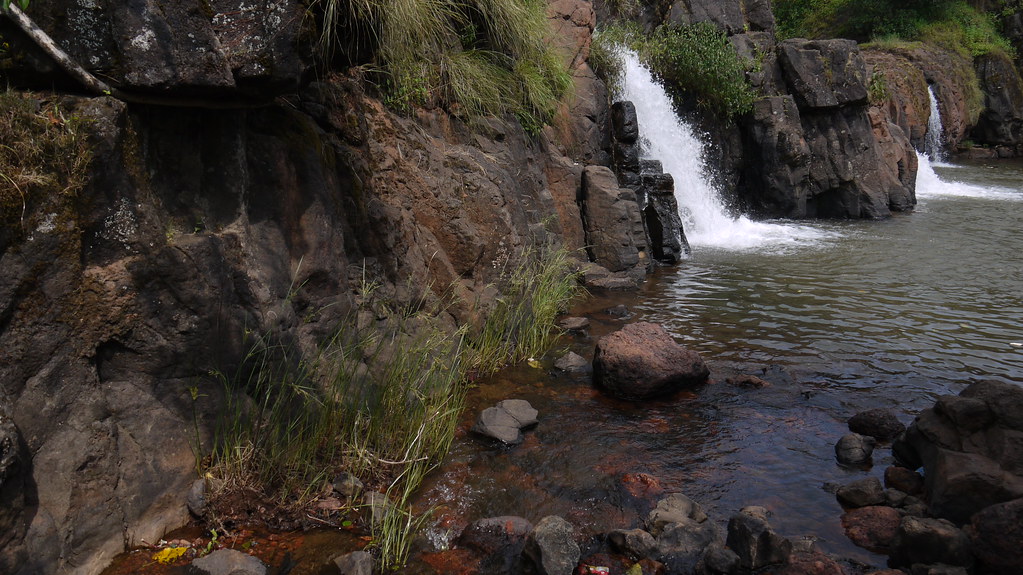
Chinaman waterfalls on the Tiger trail, Mahabaleshwar, India

IMAG2141-01

When the sky gets moody much before Sunset

Take me to the place I love

Valley in Evening

Beyond Scenic

Mahabaleshwar | Lingmala waterfalls
The Krishna river at its source

Mahabaleshwar Trip 12
Lingmala Falls Doh

Magical Sunrise

Mapro Garden, Panchgani-Mahabaleshwar Road, Maharashtra
Topographic Map of Ulumb, Maharashtra, India
Find elevation by address:

Places near Ulumb, Maharashtra, India:
Golewadi
Golegaon
Krishna River
Nandgane
Kondhavale
Dahyat
Kondhavali
Kondhavali Bk
Borgaon Bk.
Washivali
Kironde Hills
Vadoli
Renavale
Malatpur
Mahabaleshwar
Raireshwar Fort/plateau / Temple
Jaoli
Velang
Boriv
Dhandeghar
Recent Searches:
- Elevation of Pasing, Munich, Bavaria, 81241, Germany
- Elevation of 24, Auburn Bay Crescent SE, Auburn Bay, Calgary, Alberta, T3M 0A6, Canada
- Elevation of Denver, 2314, Arapahoe Street, Five Points, Denver, Colorado, 80205, USA
- Elevation of Community of the Beatitudes, 2924, West 43rd Avenue, Sunnyside, Denver, Colorado, 80211, USA
- Elevation map of Litang County, Sichuan, China
- Elevation map of Madoi County, Qinghai, China
- Elevation of 3314, Ohio State Route 114, Payne, Paulding County, Ohio, 45880, USA
- Elevation of Sarahills Drive, Saratoga, Santa Clara County, California, 95070, USA
- Elevation of Town of Bombay, Franklin County, New York, USA
- Elevation of 9, Convent Lane, Center Moriches, Suffolk County, New York, 11934, USA
- Elevation of Saint Angelas Convent, 9, Convent Lane, Center Moriches, Suffolk County, New York, 11934, USA
- Elevation of 131st Street Southwest, Mukilteo, Snohomish County, Washington, 98275, USA
- Elevation of 304, Harrison Road, Naples, Cumberland County, Maine, 04055, USA
- Elevation of 2362, Timber Ridge Road, Harrisburg, Cabarrus County, North Carolina, 28075, USA
- Elevation of Ridge Road, Marshalltown, Marshall County, Iowa, 50158, USA
- Elevation of 2459, Misty Shadows Drive, Pigeon Forge, Sevier County, Tennessee, 37862, USA
- Elevation of 8043, Brightwater Way, Spring Hill, Williamson County, Tennessee, 37179, USA
- Elevation of Starkweather Road, San Luis, Costilla County, Colorado, 81152, USA
- Elevation of 5277, Woodside Drive, Baton Rouge, East Baton Rouge Parish, Louisiana, 70808, USA
- Elevation of 1139, Curtin Street, Shepherd Park Plaza, Houston, Harris County, Texas, 77018, USA