Elevation of Borgaon Bk., Maharashtra, India
Location: India > Maharashtra > Satara >
Longitude: 73.7448437
Latitude: 17.9361767
Elevation: 791m / 2595feet
Barometric Pressure: 0KPa
Related Photos:

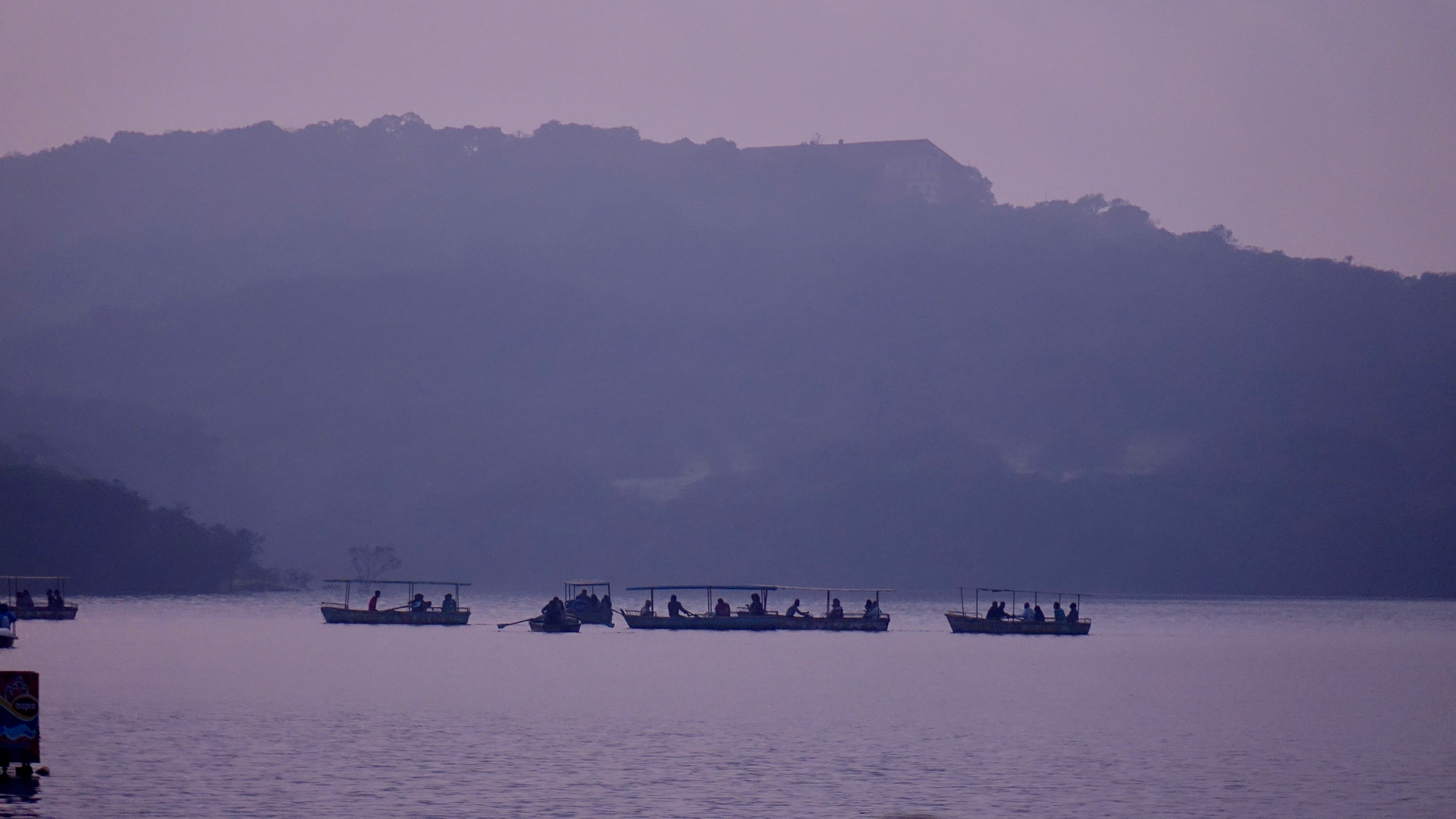
View of the Krishna River seen from Mahabaleshwar, India

@ Mahabaleshwar, Maharashtra

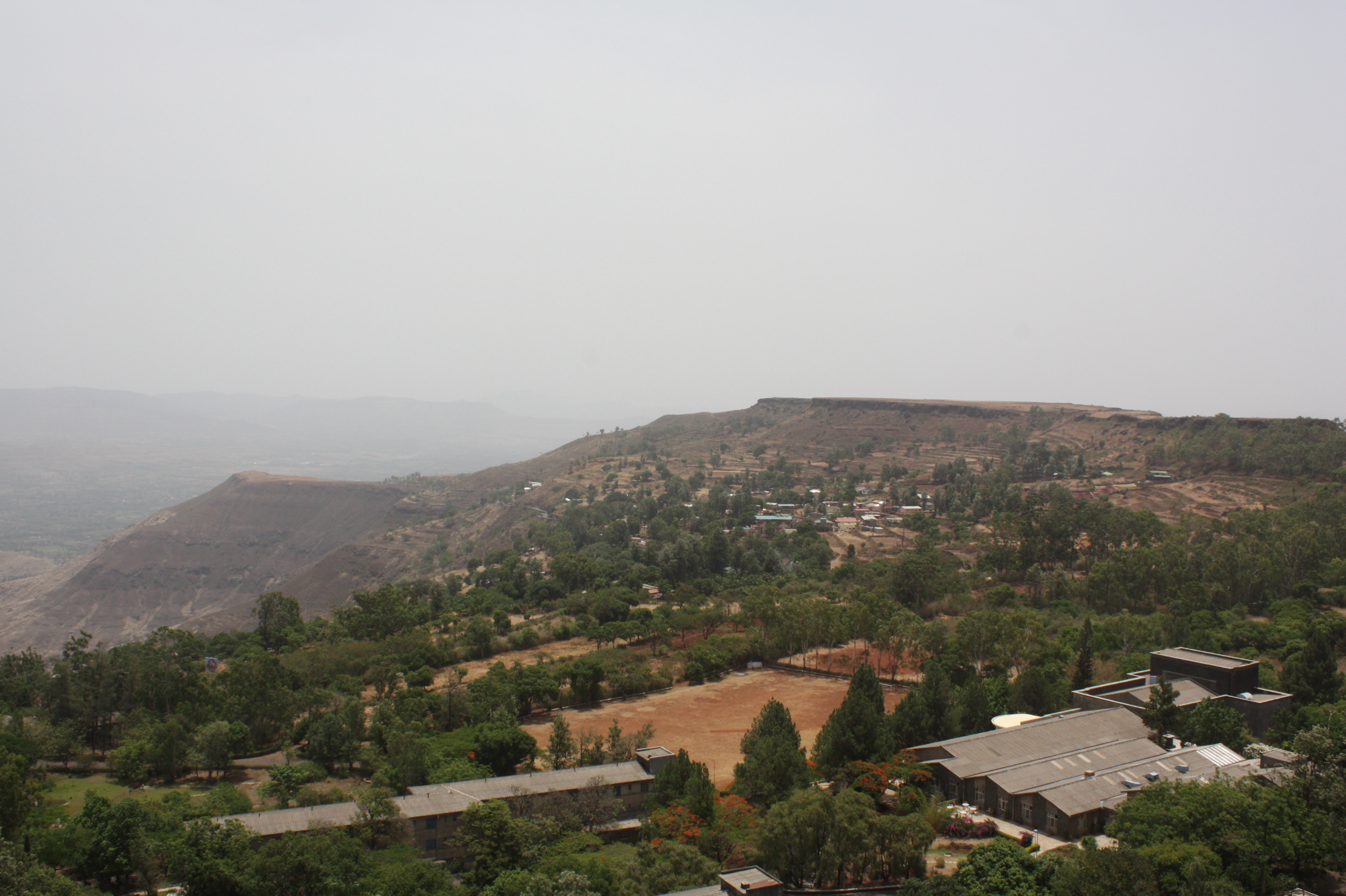
VIew from Table Land, Panchgani

Parsi Point Panorama

@ Mahabaleshwar, Maharashtra

A distant view of LIngmala Waterfalls, Mahabaleshwar

... view from Lingmala Falls
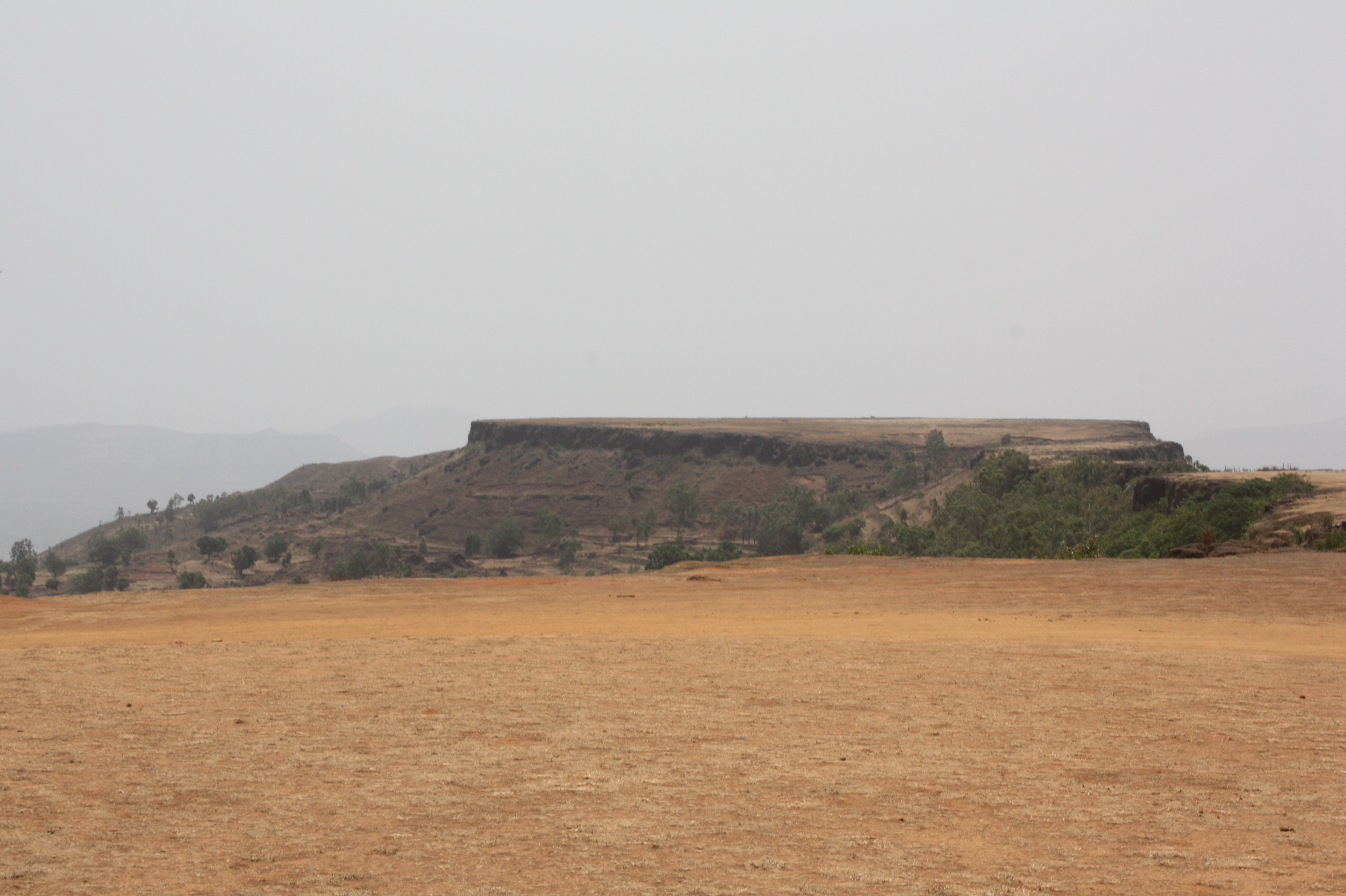
View from Tableland, Panchgani

The Krishna

Venna valley viewed from Lingmala Falls

Kate's Point viewed from Needle Hole Point

... view from Parsi Point

View from Tableland, Panchgani

View from Tableland, Panchgani
View from Tableland, Panchgani

View from Tableland, Panchgani

View from Tableland, Panchgani

View from Tableland, Panchgani

View from Tableland, Panchgani

View from Tableland, Panchgani

View from Tableland, Panchgani

Lonely tree in the gloomy weather

Kate's Point | Mahabaleshwar

About to rain

Valley in Evening

Beyond Scenic

Mahabaleshwar | Lingmala waterfalls
Mahabaleshwar Trip 12
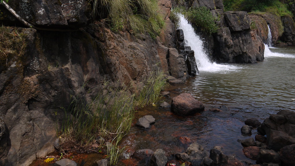
Lingmala Falls Doh

Magical Sunrise

Bird's eye view of Army Quarters at Pratapgarh Fort

Mapro Garden, Panchgani-Mahabaleshwar Road, Maharashtra

The Steep Valley
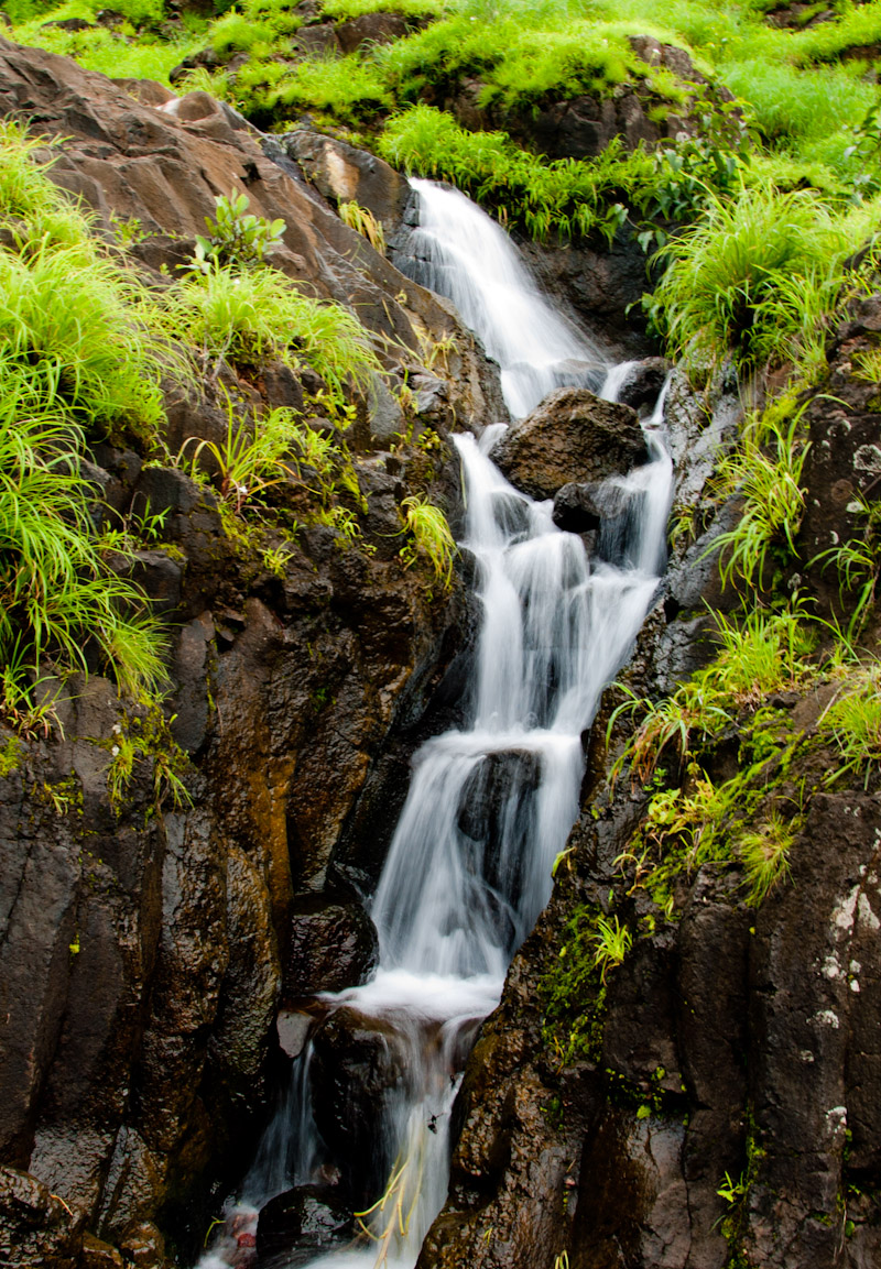
Waterfall near Pahchgani

Mapro Garden, Panchgani-Mahabaleshwar Road, Maharashtra

Mapro Garden, Panchgani-Mahabaleshwar Road, Maharashtra
Topographic Map of Borgaon Bk., Maharashtra, India
Find elevation by address:

Places near Borgaon Bk., Maharashtra, India:
Dahyat
Nandgane
Kondhavali Bk
Krishna River
Malatpur
Golewadi
Ulumb
Golegaon
Kondhavale
Dhandeghar
Kondhavali
Vithalwadi
Boriv
Renavale
Dandeghar
Washivali
Kusgaon
Velang
Dandeghar
Vadoli
Recent Searches:
- Elevation of Window Rock, Colfax County, New Mexico, 87714, USA
- Elevation of 4807, Rosecroft Street, Kempsville Gardens, Virginia Beach, Virginia, 23464, USA
- Elevation map of Matawinie, Quebec, Canada
- Elevation of Sainte-Émélie-de-l'Énergie, Matawinie, Quebec, Canada
- Elevation of Rue du Pont, Sainte-Émélie-de-l'Énergie, Matawinie, Quebec, J0K2K0, Canada
- Elevation of 8, Rue de Bécancour, Blainville, Thérèse-De Blainville, Quebec, J7B1N2, Canada
- Elevation of Wilmot Court North, 163, University Avenue West, Northdale, Waterloo, Region of Waterloo, Ontario, N2L6B6, Canada
- Elevation map of Panamá Province, Panama
- Elevation of Balboa, Panamá Province, Panama
- Elevation of San Miguel, Balboa, Panamá Province, Panama
- Elevation of Isla Gibraleón, San Miguel, Balboa, Panamá Province, Panama
- Elevation of 4655, Krischke Road, Schulenburg, Fayette County, Texas, 78956, USA
- Elevation of Carnegie Avenue, Downtown Cleveland, Cleveland, Cuyahoga County, Ohio, 44115, USA
- Elevation of Walhonding, Coshocton County, Ohio, USA
- Elevation of Clifton Down, Clifton, Bristol, City of Bristol, England, BS8 3HU, United Kingdom
- Elevation map of Auvergne-Rhône-Alpes, France
- Elevation map of Upper Savoy, Auvergne-Rhône-Alpes, France
- Elevation of Chamonix-Mont-Blanc, Upper Savoy, Auvergne-Rhône-Alpes, France
- Elevation of 908, Northwood Drive, Bridge Field, Chesapeake, Virginia, 23322, USA
- Elevation map of Nagano Prefecture, Japan