Elevation of Vithalwadi, Maharashtra, India
| Latitude | 17.9447407 |
|---|---|
| Longitude | 73.815807 |
| Elevation | 840m / 2756feet |
| Barometric Pressure | 916KPa |
Related Photos:

Kate's Point | Mahabaleshwar

View of the Krishna River seen from Mahabaleshwar, India

@ Mahabaleshwar, Maharashtra

VIew from Table Land, Panchgani

Parsi Point Panorama

@ Mahabaleshwar, Maharashtra

Happy Birthday, Varun!

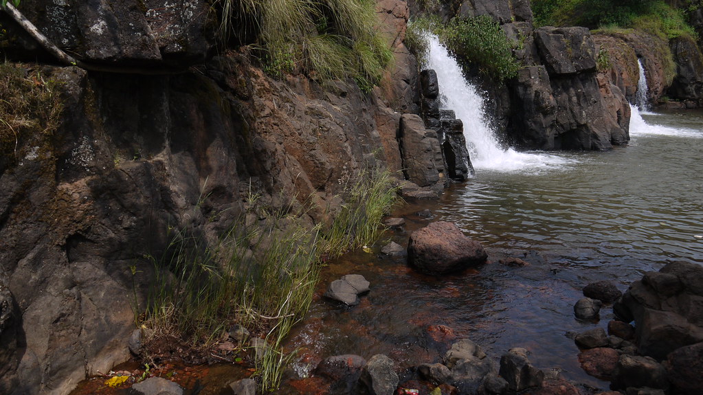
A distant view of LIngmala Waterfalls, Mahabaleshwar

... view from Lingmala Falls
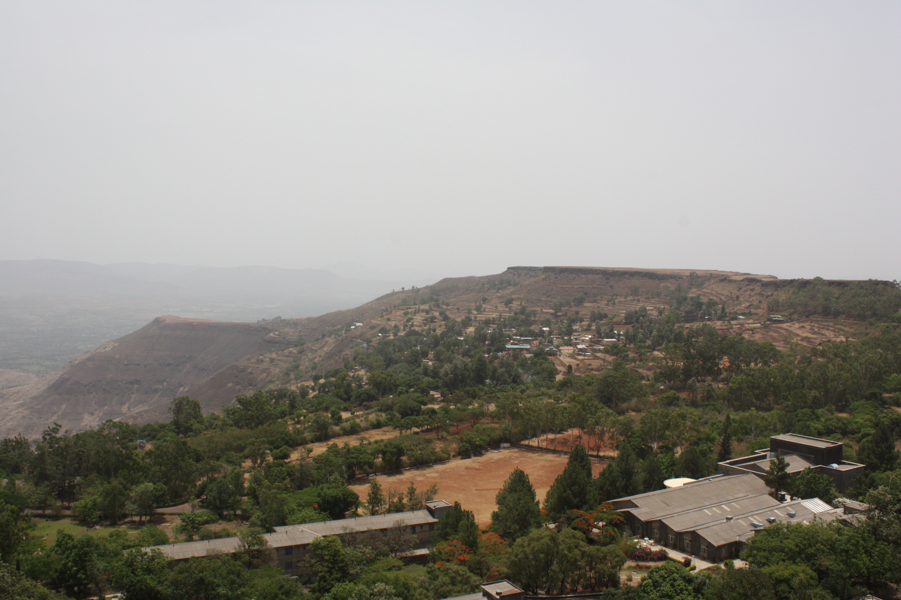
View from Tableland, Panchgani

Venna valley viewed from Lingmala Falls

Kate's Point viewed from Needle Hole Point

... view from Parsi Point

Morning view of the lake at Bamnoli

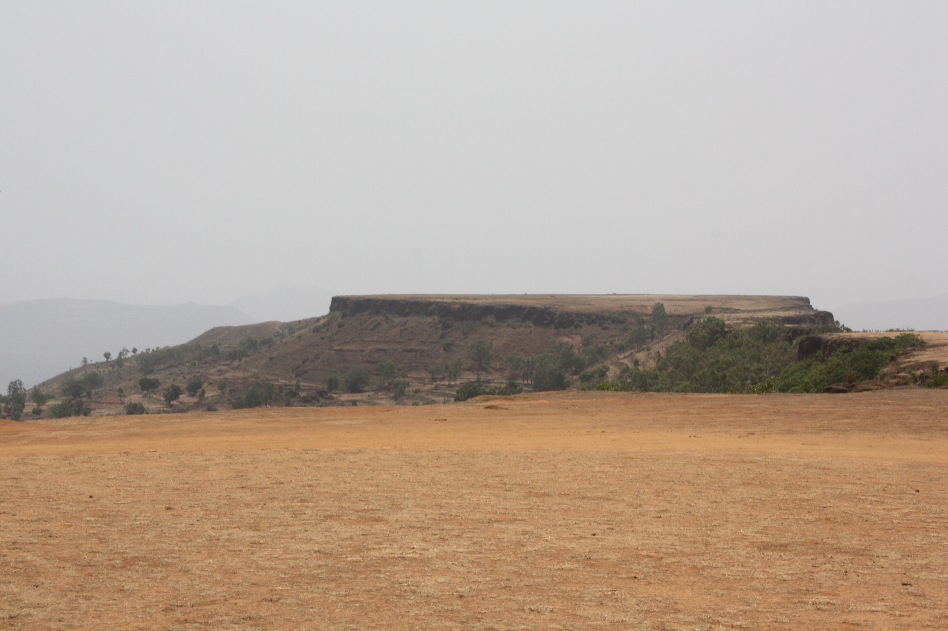
View from Tableland, Panchgani

View from Tableland, Panchgani
View from Tableland, Panchgani

View from Tableland, Panchgani

View from Tableland, Panchgani

View from Tableland, Panchgani

View from Tableland, Panchgani

Lonely tree in the gloomy weather

About to rain

Valley in Evening

Beyond Scenic

Mahabaleshwar | Lingmala waterfalls
Lingmala Falls Doh

Magical Sunrise

Mapro Garden, Panchgani-Mahabaleshwar Road, Maharashtra
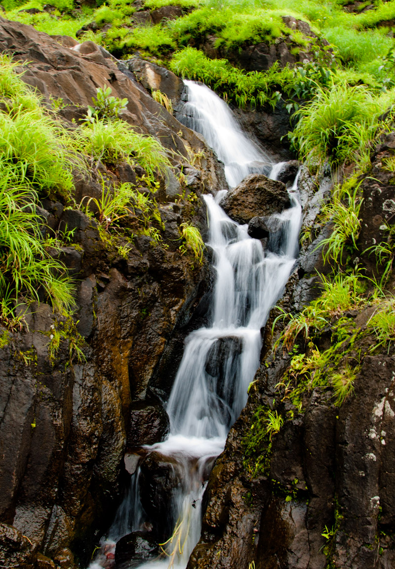
Waterfall near Pahchgani

Mapro Garden, Panchgani-Mahabaleshwar Road, Maharashtra

Mapro Garden, Panchgani-Mahabaleshwar Road, Maharashtra

Panchgani Hills, from Wai-Panchgani Road, Maharashtra

Panchgani Hills, from Wai-Panchgani Road, Maharashtra

Gymnosporia rothiana
Topographic Map of Vithalwadi, Maharashtra, India
Find elevation by address:
Places near Vithalwadi, Maharashtra, India:
Kusgaon
Dandeghar
Dhandeghar
Dandeghar
Partewadi
Boriv
Malatpur
Dhom
Velang
Pachputewadi Vitthal Rukmini Mandir
Kondhavali Bk
Borgaon Bk.
Kedareshwar Temple Veruli
Sandy Hills Agri Tourism - Veruli (mtdc Approved)
Dahyat
Renavale
Nandgane
Krishna River
Kondhavali
Ulumb
Recent Searches:
- Elevation of 104, Chancery Road, Middletown Township, Bucks County, Pennsylvania, 19047, USA
- Elevation of 1212, Cypress Lane, Dayton, Liberty County, Texas, 77535, USA
- Elevation map of Central Hungary, Hungary
- Elevation map of Pest, Central Hungary, Hungary
- Elevation of Pilisszentkereszt, Pest, Central Hungary, Hungary
- Elevation of Dharamkot Tahsil, Punjab, India
- Elevation of Bhinder Khurd, Dharamkot Tahsil, Punjab, India
- Elevation of 2881, Chabot Drive, San Bruno, San Mateo County, California, 94066, USA
- Elevation of 10370, West 107th Circle, Westminster, Jefferson County, Colorado, 80021, USA
- Elevation of 611, Roman Road, Old Ford, Bow, London, England, E3 2RW, United Kingdom
- Elevation of 116, Beartown Road, Underhill, Chittenden County, Vermont, 05489, USA
- Elevation of Window Rock, Colfax County, New Mexico, 87714, USA
- Elevation of 4807, Rosecroft Street, Kempsville Gardens, Virginia Beach, Virginia, 23464, USA
- Elevation map of Matawinie, Quebec, Canada
- Elevation of Sainte-Émélie-de-l'Énergie, Matawinie, Quebec, Canada
- Elevation of Rue du Pont, Sainte-Émélie-de-l'Énergie, Matawinie, Quebec, J0K2K0, Canada
- Elevation of 8, Rue de Bécancour, Blainville, Thérèse-De Blainville, Quebec, J7B1N2, Canada
- Elevation of Wilmot Court North, 163, University Avenue West, Northdale, Waterloo, Region of Waterloo, Ontario, N2L6B6, Canada
- Elevation map of Panamá Province, Panama
- Elevation of Balboa, Panamá Province, Panama