Elevation of Dandeghar, Maharashtra, India
Location: India > Maharashtra > Satara >
Longitude: 73.8257325
Latitude: 17.9358843
Elevation: 1220m / 4003feet
Barometric Pressure: 87KPa
Elevation Map:
Satellite Map:
Related Photos:

View of the Krishna River seen from Mahabaleshwar, India

@ Mahabaleshwar, Maharashtra

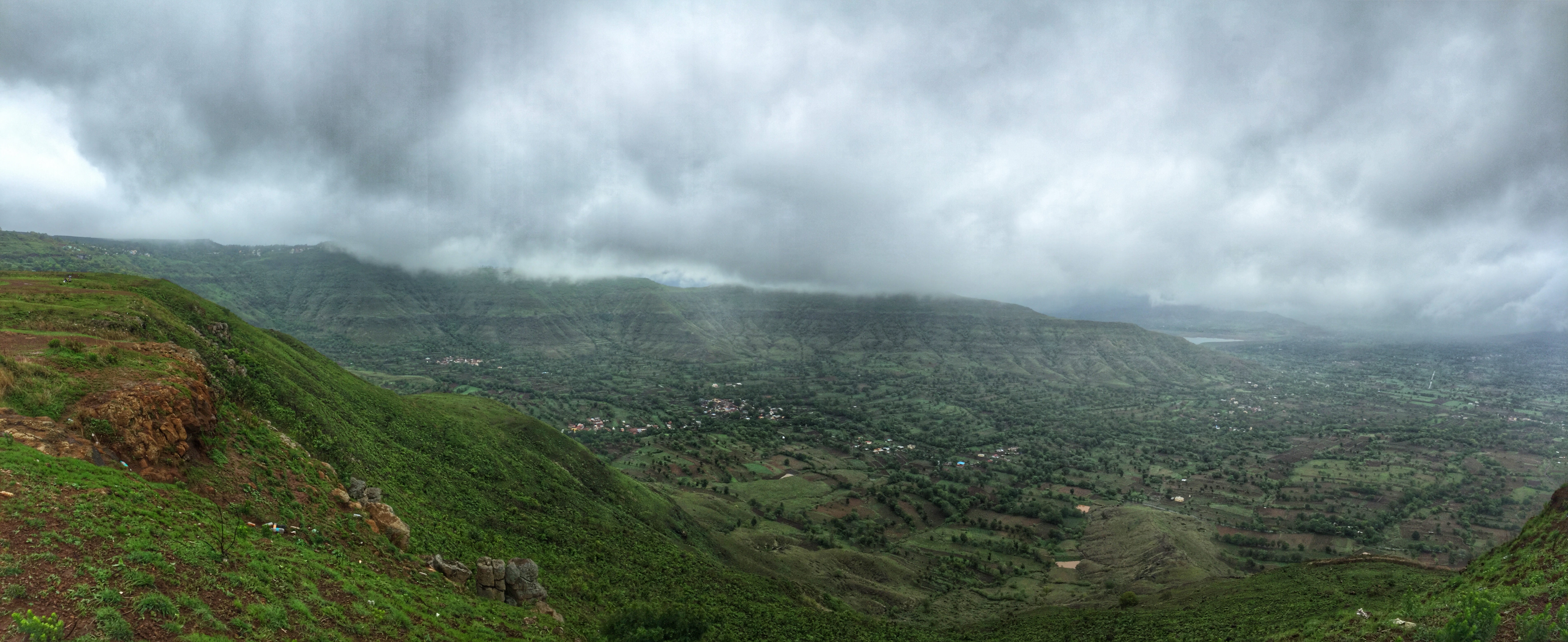
Parsi Point Panorama

VIew from Table Land, Panchgani

@ Mahabaleshwar, Maharashtra
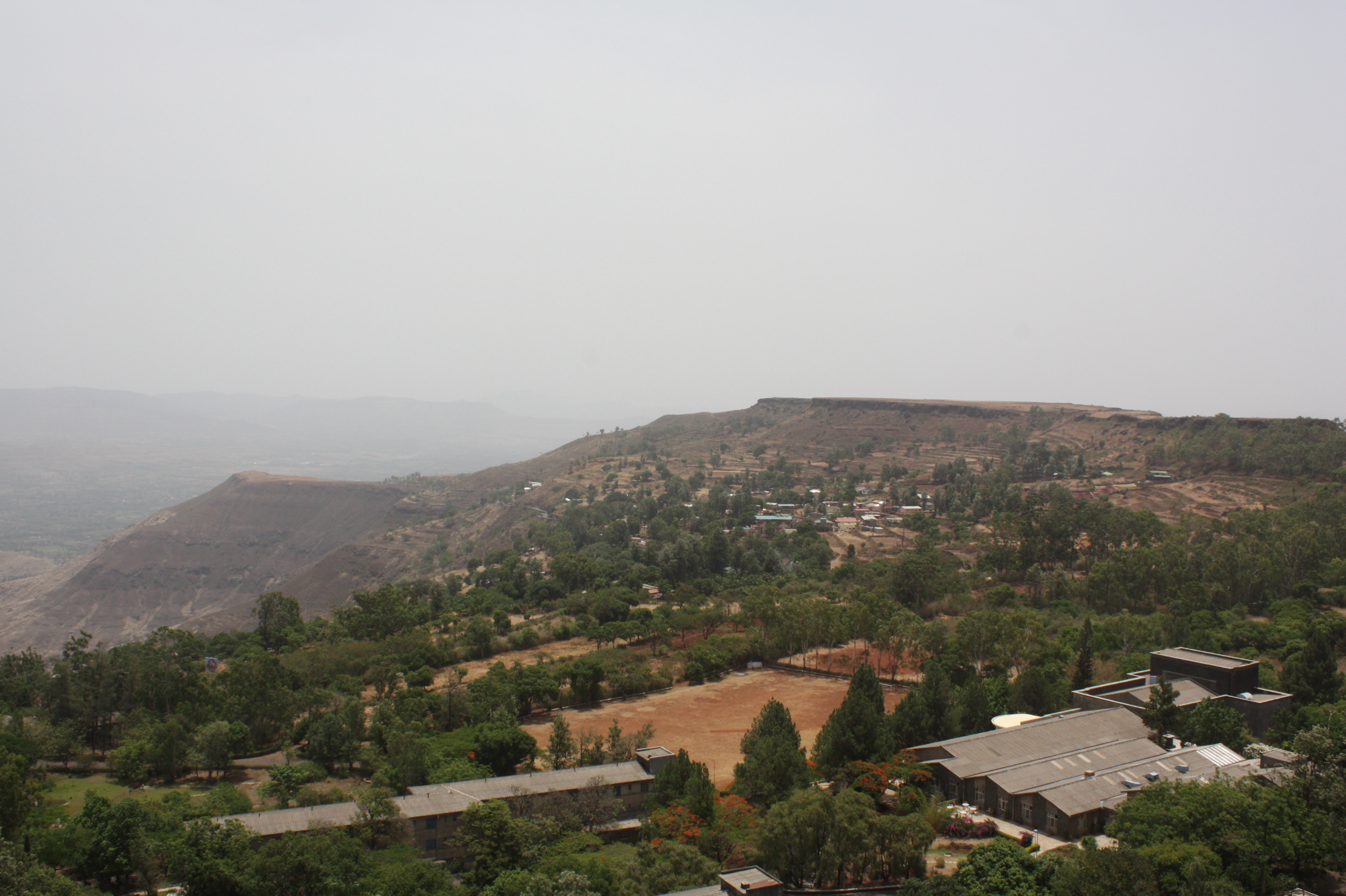
Day 6: View from table top near Panchgani

A distant view of LIngmala Waterfalls, Mahabaleshwar

Kates Point

Day 6: View from table top near Panchgani

... view from Lingmala Falls

Day 6: Ganesh soaking in all the views
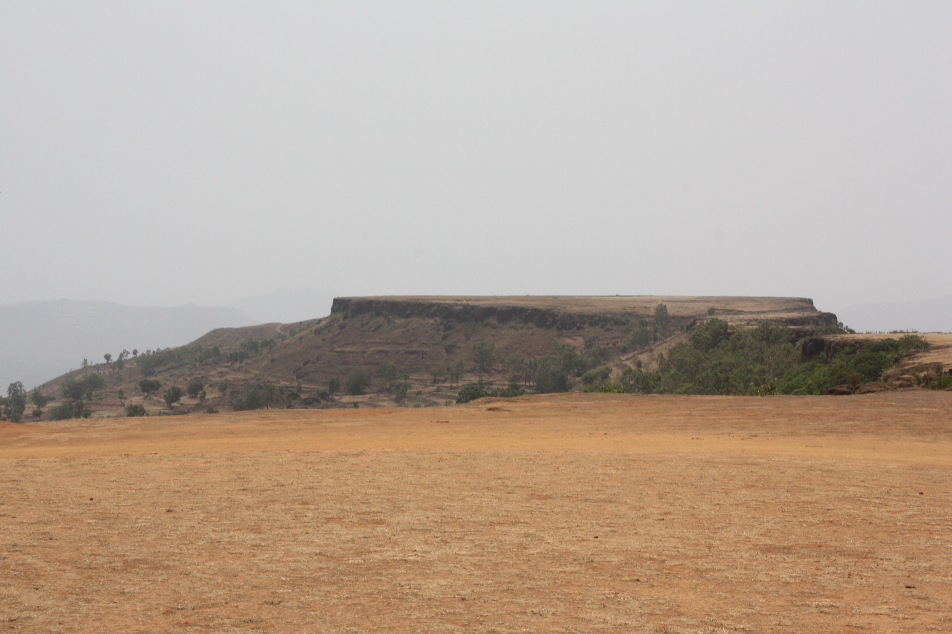
View from Tableland, Panchgani

Venna valley viewed from Lingmala Falls

Day 6: View from table top near Panchgani

... view from Parsi Point

Kate's Point viewed from Needle Hole Point

Day 6: View from table top near Panchgani

Morning view of the lake at Bamnoli

View from Tableland, Panchgani
View from Tableland, Panchgani

View from Tableland, Panchgani

Lonely tree in the gloomy weather

Valley in Evening

About to rain

Beyond Scenic

Mahabaleshwar | Lingmala waterfalls
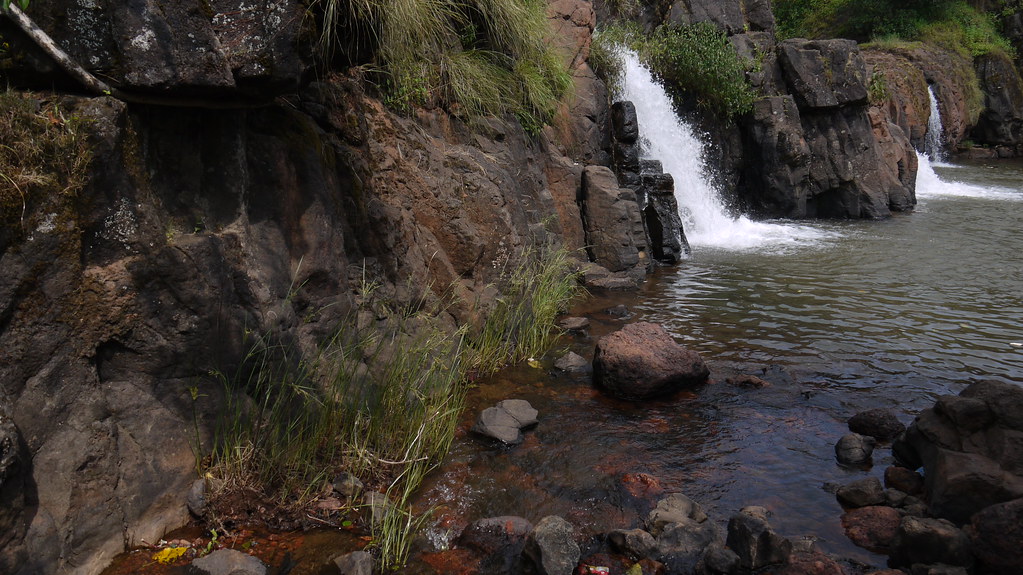
Lingmala Falls Doh

Day 6: Priceless moment of the Journey :)

Magical Sunrise

Mapro Garden, Panchgani-Mahabaleshwar Road, Maharashtra
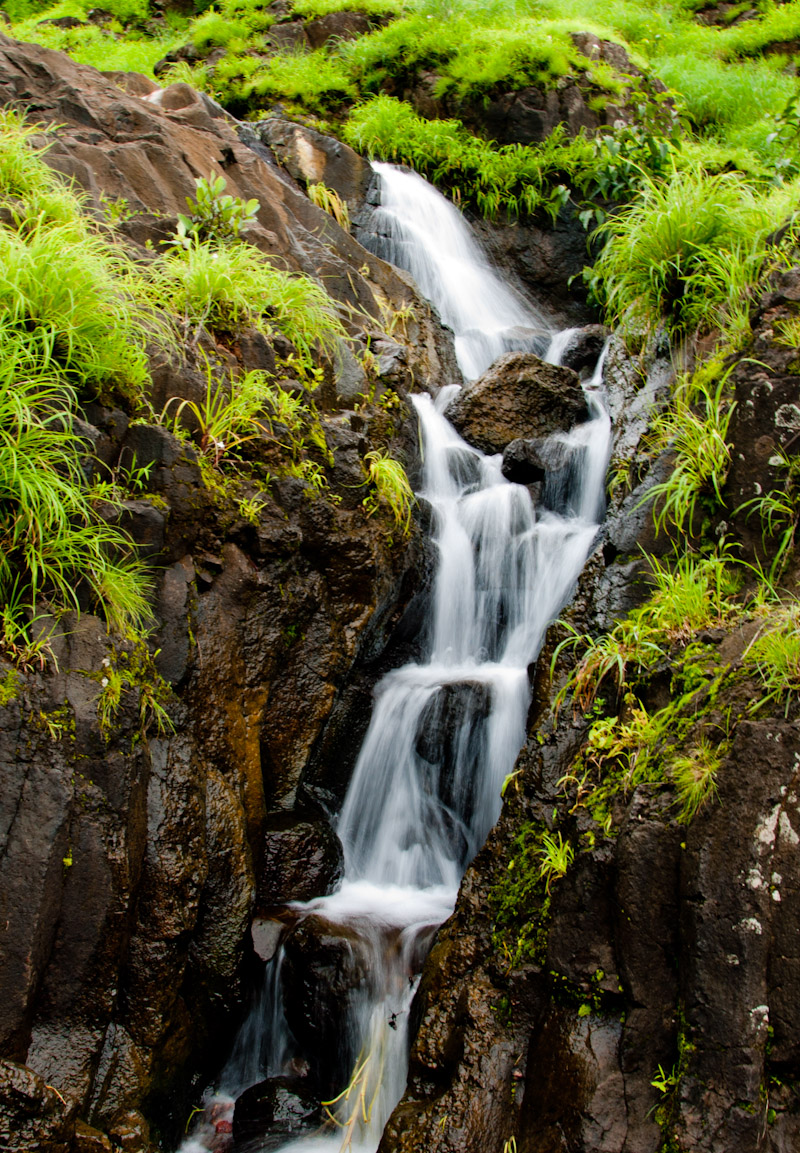
Waterfall near Pahchgani

Mapro Garden, Panchgani-Mahabaleshwar Road, Maharashtra

Mapro Garden, Panchgani-Mahabaleshwar Road, Maharashtra

Panchgani Hills, from Wai-Panchgani Road, Maharashtra

Panchgani Hills, from Wai-Panchgani Road, Maharashtra
Topographic Map of Dandeghar, Maharashtra, India
Find elevation by address:

Places in Dandeghar, Maharashtra, India:
Places near Dandeghar, Maharashtra, India:
Dandeghar
Vithalwadi
Dhandeghar
Kusgaon
Partewadi
Boriv
Dhom
Malatpur
Velang
Pachputewadi Vitthal Rukmini Mandir
Kondhavali Bk
Borgaon Bk.
Kedareshwar Temple Veruli
Sandy Hills Agri Tourism - Veruli (mtdc Approved)
Dahyat
Nandgane
Renavale
Krishna River
Ulumb
Kondhavali
Recent Searches:
- Elevation of Corso Fratelli Cairoli, 35, Macerata MC, Italy
- Elevation of Tallevast Rd, Sarasota, FL, USA
- Elevation of 4th St E, Sonoma, CA, USA
- Elevation of Black Hollow Rd, Pennsdale, PA, USA
- Elevation of Oakland Ave, Williamsport, PA, USA
- Elevation of Pedrógão Grande, Portugal
- Elevation of Klee Dr, Martinsburg, WV, USA
- Elevation of Via Roma, Pieranica CR, Italy
- Elevation of Tavkvetili Mountain, Georgia
- Elevation of Hartfords Bluff Cir, Mt Pleasant, SC, USA