Elevation of Takavali, Maharashtra, India
Location: India > Maharashtra > Ratnagiri >
Longitude: 73.2323033
Latitude: 18.0293664
Elevation: 251m / 823feet
Barometric Pressure: 0KPa
Related Photos:

Towards Harihareshwar, June 2006

Konkan (63)
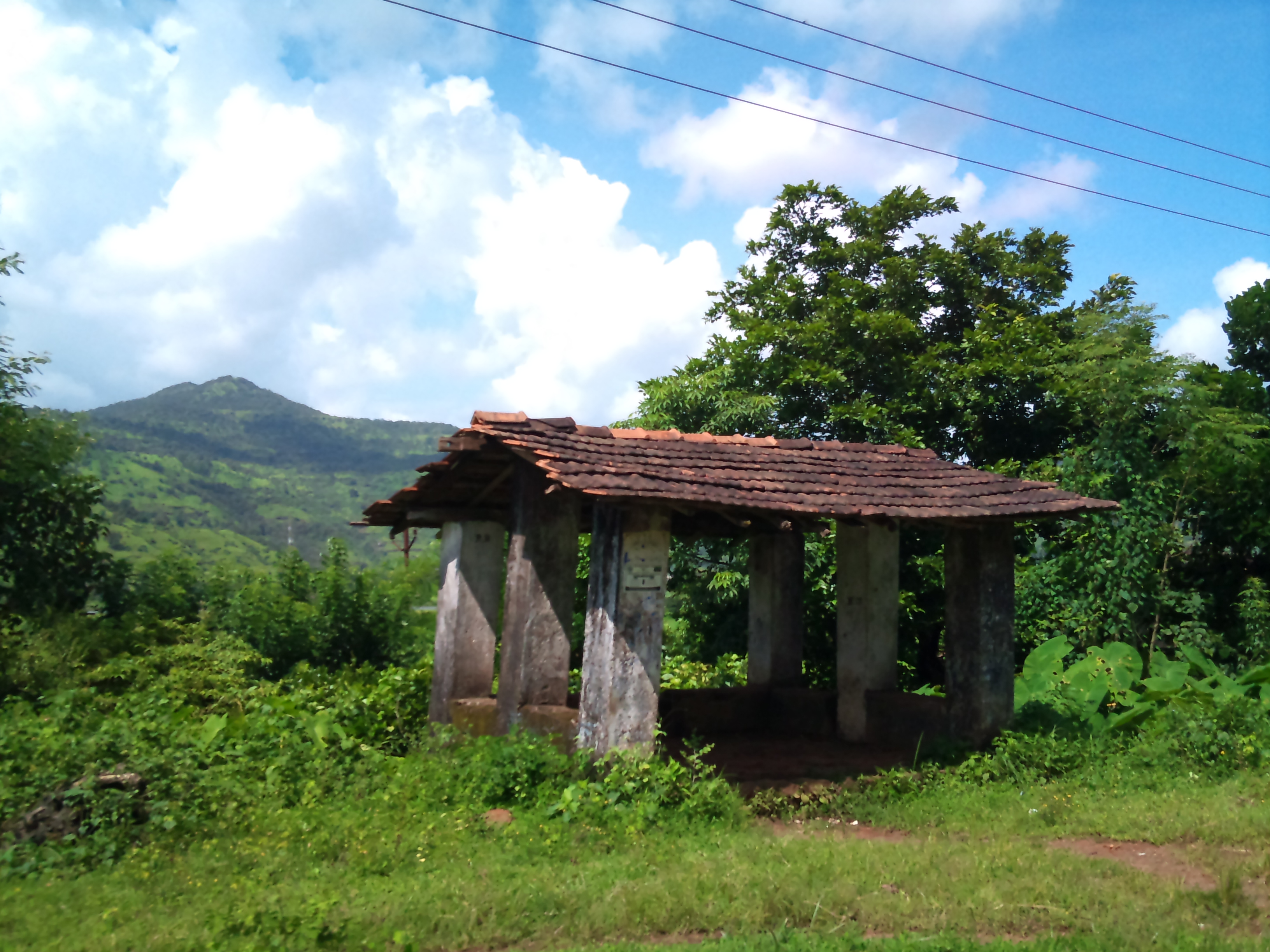
Konkan (64)

Konkan (62)
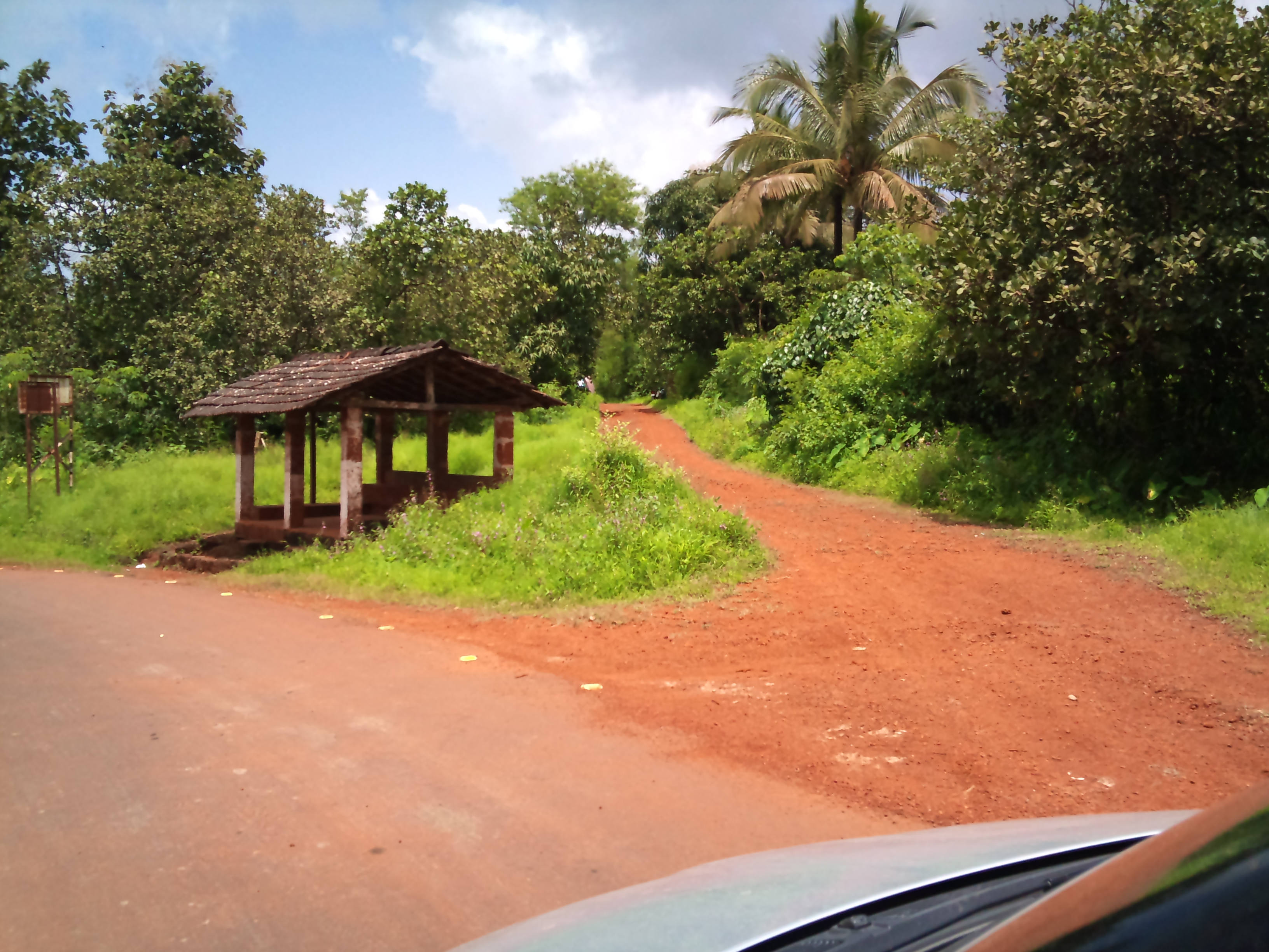
Konkan (60)

Konkan (59)

White-rumped Vulture

Red-rumped Swallow couple

Crocodile through theodolite telescope.
Topographic Map of Takavali, Maharashtra, India
Find elevation by address:

Places near Takavali, Maharashtra, India:
Warathi
Mangaon
Bhogaon Bk.
Kashedi Ghat
Dapoli
Raigad Fort
Gherakilla Raigad
Mayank Cashew Factory
Fanasu
Mazeri
Degaon
Jaoli
Unnamed Road
Varavand
Mahabaleshwar
Varandha Ghat Road
Parut
Bhatti
Manghar
Kandat
Recent Searches:
- Elevation of 116, Beartown Road, Underhill, Chittenden County, Vermont, 05489, USA
- Elevation of Window Rock, Colfax County, New Mexico, 87714, USA
- Elevation of 4807, Rosecroft Street, Kempsville Gardens, Virginia Beach, Virginia, 23464, USA
- Elevation map of Matawinie, Quebec, Canada
- Elevation of Sainte-Émélie-de-l'Énergie, Matawinie, Quebec, Canada
- Elevation of Rue du Pont, Sainte-Émélie-de-l'Énergie, Matawinie, Quebec, J0K2K0, Canada
- Elevation of 8, Rue de Bécancour, Blainville, Thérèse-De Blainville, Quebec, J7B1N2, Canada
- Elevation of Wilmot Court North, 163, University Avenue West, Northdale, Waterloo, Region of Waterloo, Ontario, N2L6B6, Canada
- Elevation map of Panamá Province, Panama
- Elevation of Balboa, Panamá Province, Panama
- Elevation of San Miguel, Balboa, Panamá Province, Panama
- Elevation of Isla Gibraleón, San Miguel, Balboa, Panamá Province, Panama
- Elevation of 4655, Krischke Road, Schulenburg, Fayette County, Texas, 78956, USA
- Elevation of Carnegie Avenue, Downtown Cleveland, Cleveland, Cuyahoga County, Ohio, 44115, USA
- Elevation of Walhonding, Coshocton County, Ohio, USA
- Elevation of Clifton Down, Clifton, Bristol, City of Bristol, England, BS8 3HU, United Kingdom
- Elevation map of Auvergne-Rhône-Alpes, France
- Elevation map of Upper Savoy, Auvergne-Rhône-Alpes, France
- Elevation of Chamonix-Mont-Blanc, Upper Savoy, Auvergne-Rhône-Alpes, France
- Elevation of 908, Northwood Drive, Bridge Field, Chesapeake, Virginia, 23322, USA