Elevation of Anderson, CA, USA
Location: United States > California > Tehama County >
Longitude: -122.29778
Latitude: 40.448208
Elevation: 132m / 433feet
Barometric Pressure: 100KPa
Elevation Map:
Satellite Map:
Related Photos:
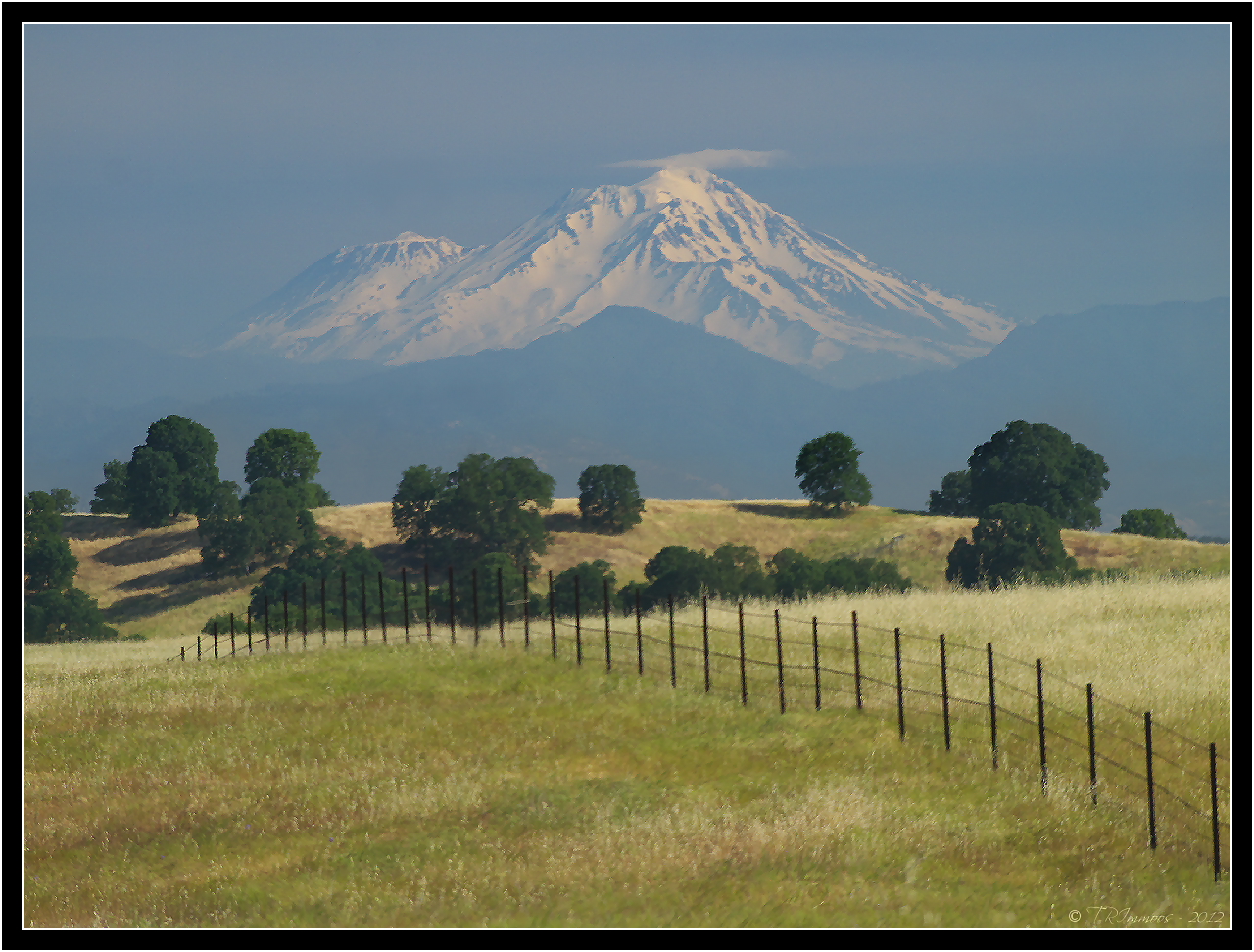
Mount Shasta - A Telephoto Landscape

OZ (2)

View of mom's house as I left. #theknottyknitter

Together Again
Strip [4]

Peace on the lake

Whatever it Takes
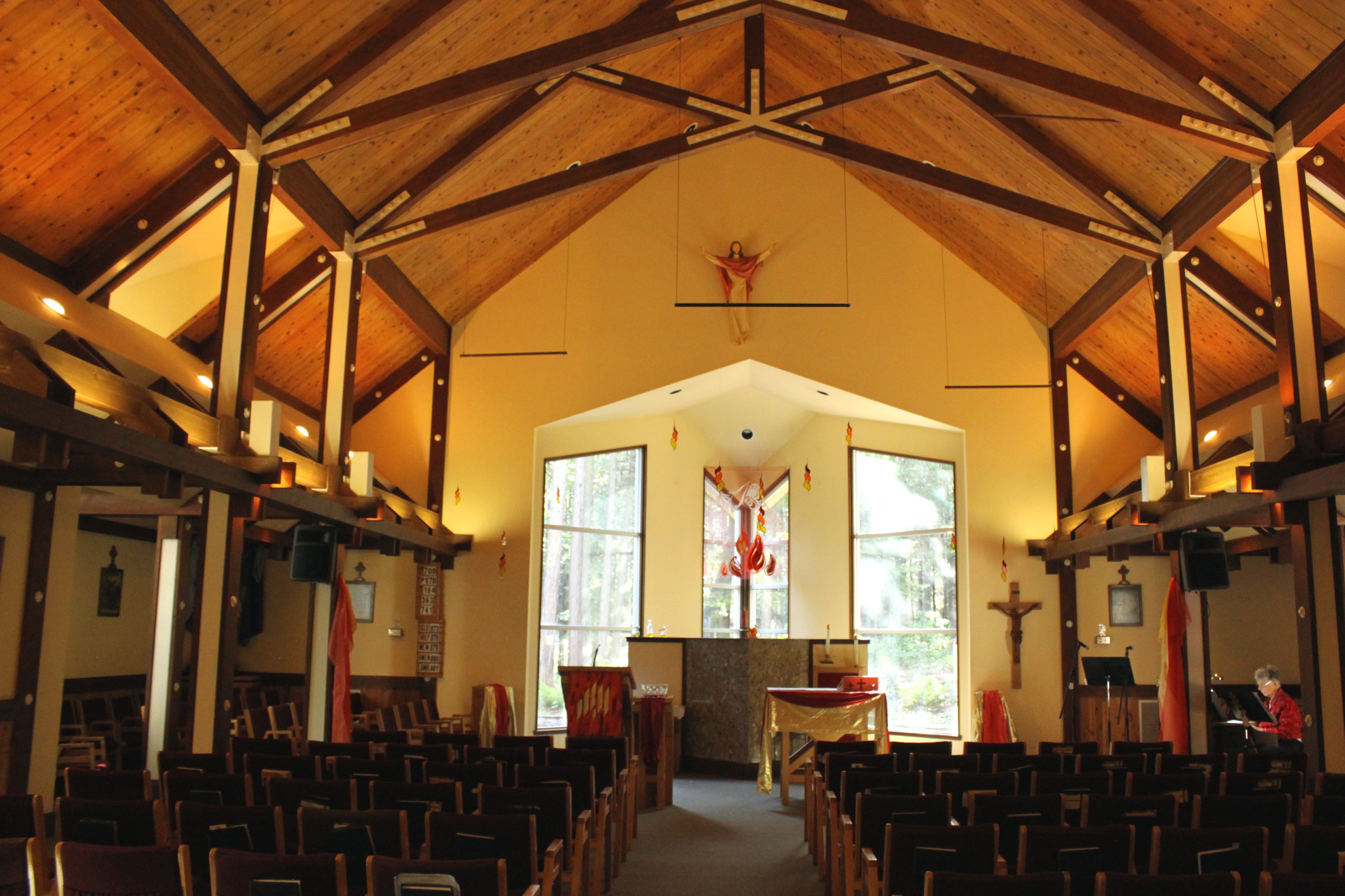
Our Lady of Mercy Parish

Bareback on Judd

Redding, CA OES Fire Engine 329 for Shasta County

Changed hotels. Here's the view from the room - sunset on the Sacramento River. #roadtrip #redding #california #hotel #view #Sacramento #river #instagold #instagood #instagram #igdaily #igaddicts #ipodtouch #ipod

Redding,CA Fire Station 3

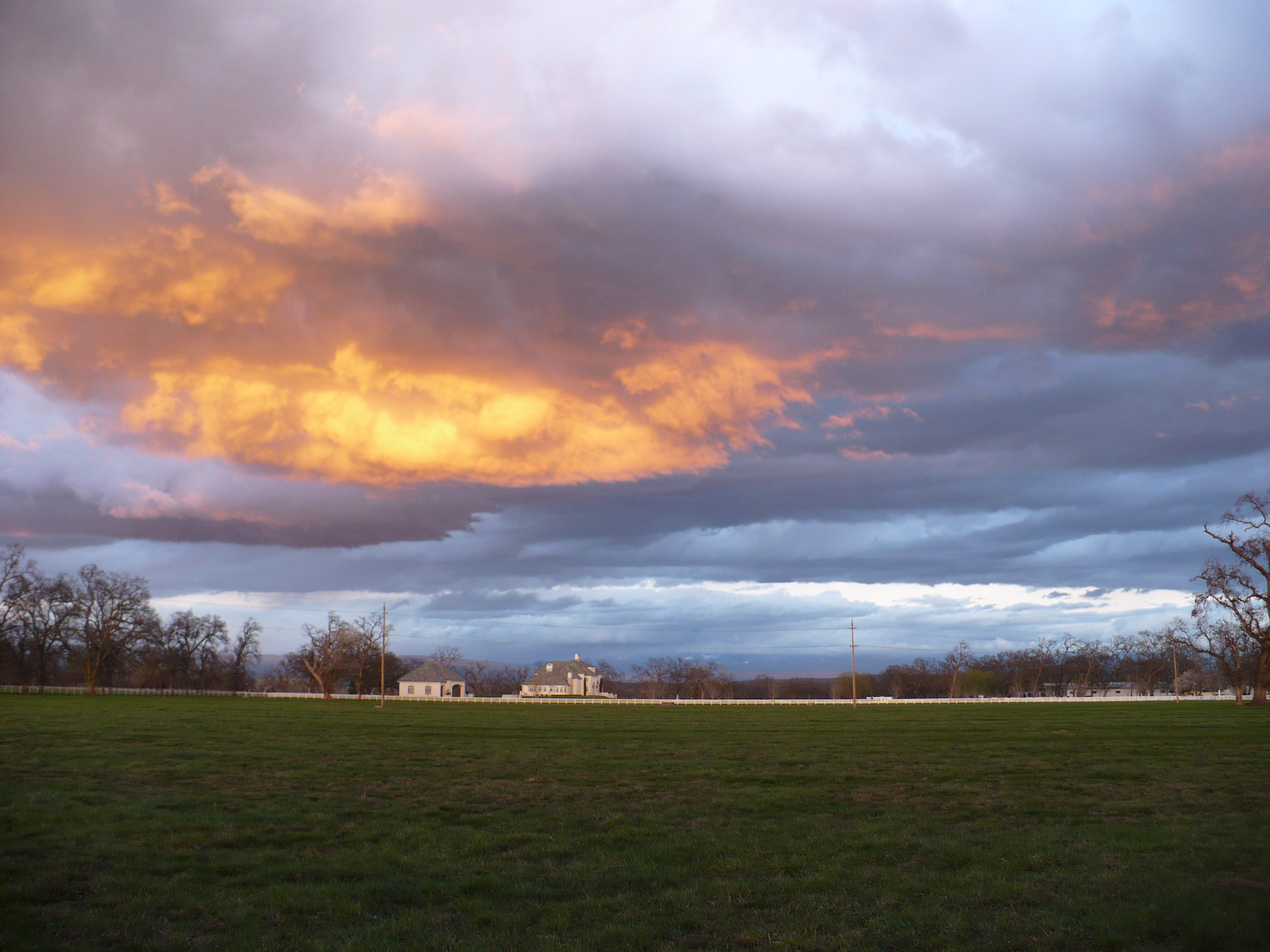
View just now from the hotel room. #sunset #colorful #clouds #sky #evening #winter #redding #california #roadtrip #Creation #beauty #ipod #ipodtouch #igdaily #igaddicts #instagold #instagood #instagram

63/365: Redding Sun
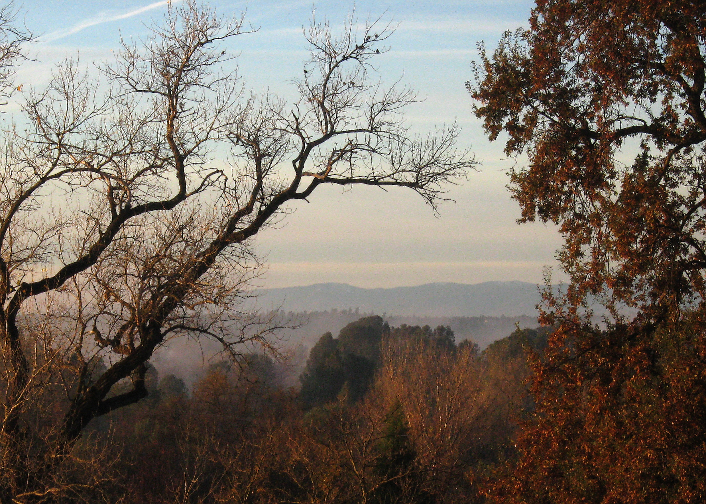
Morning View
Redding morning
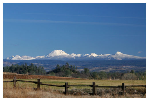
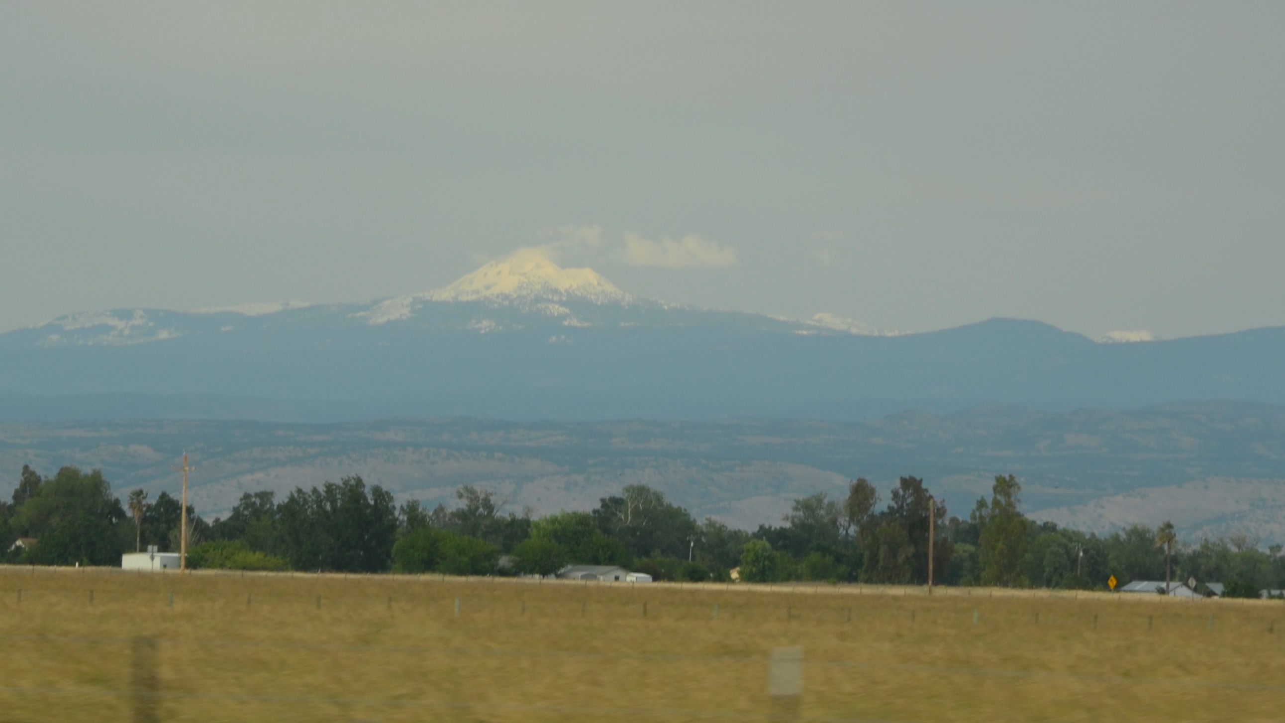
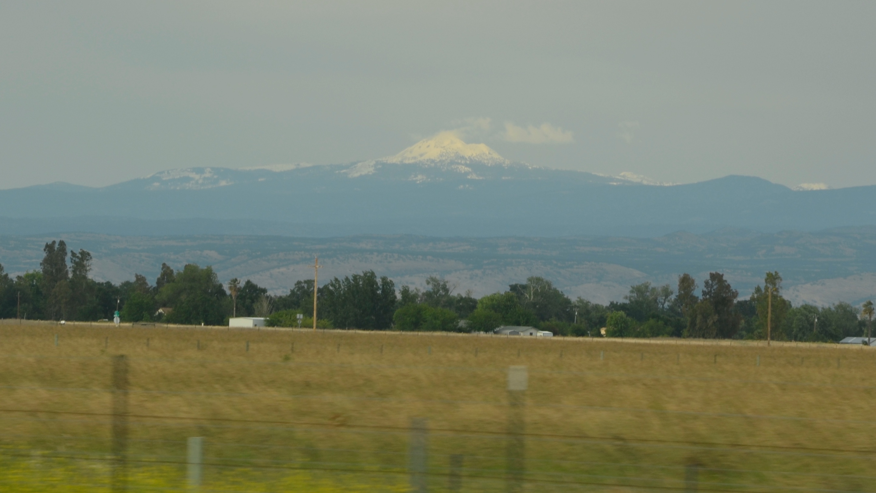
Mt. Lassen
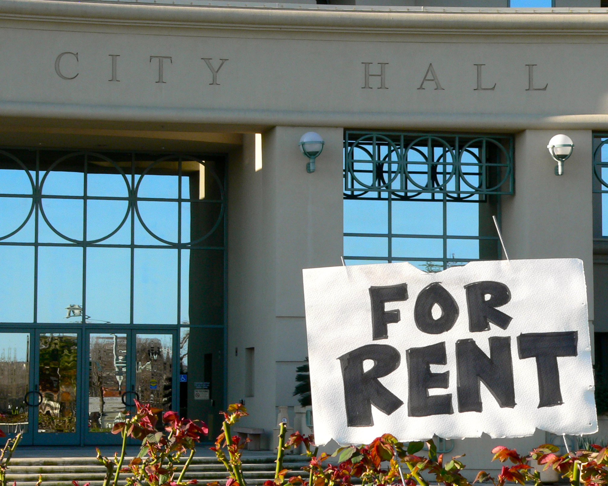
OFFICE SPACE AVAILABLE
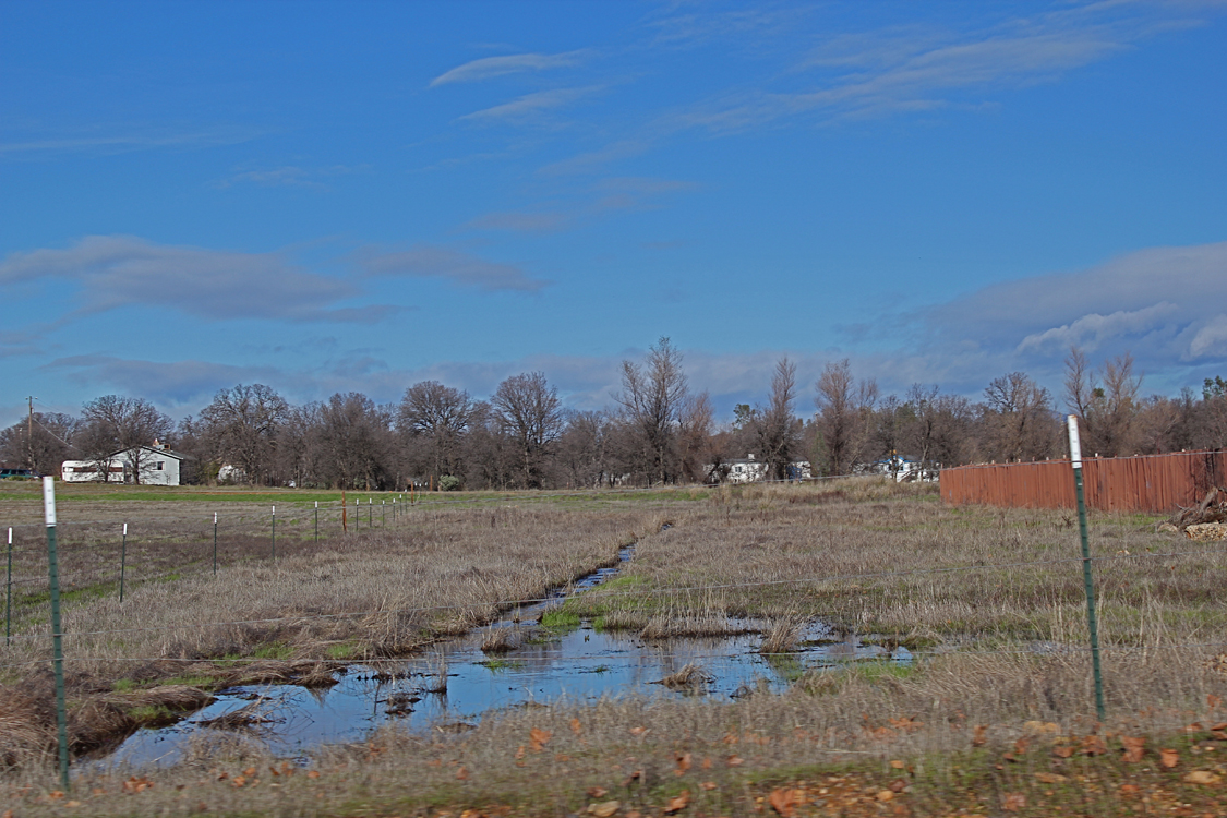
View on the way to the recycling place

CHP Redding area
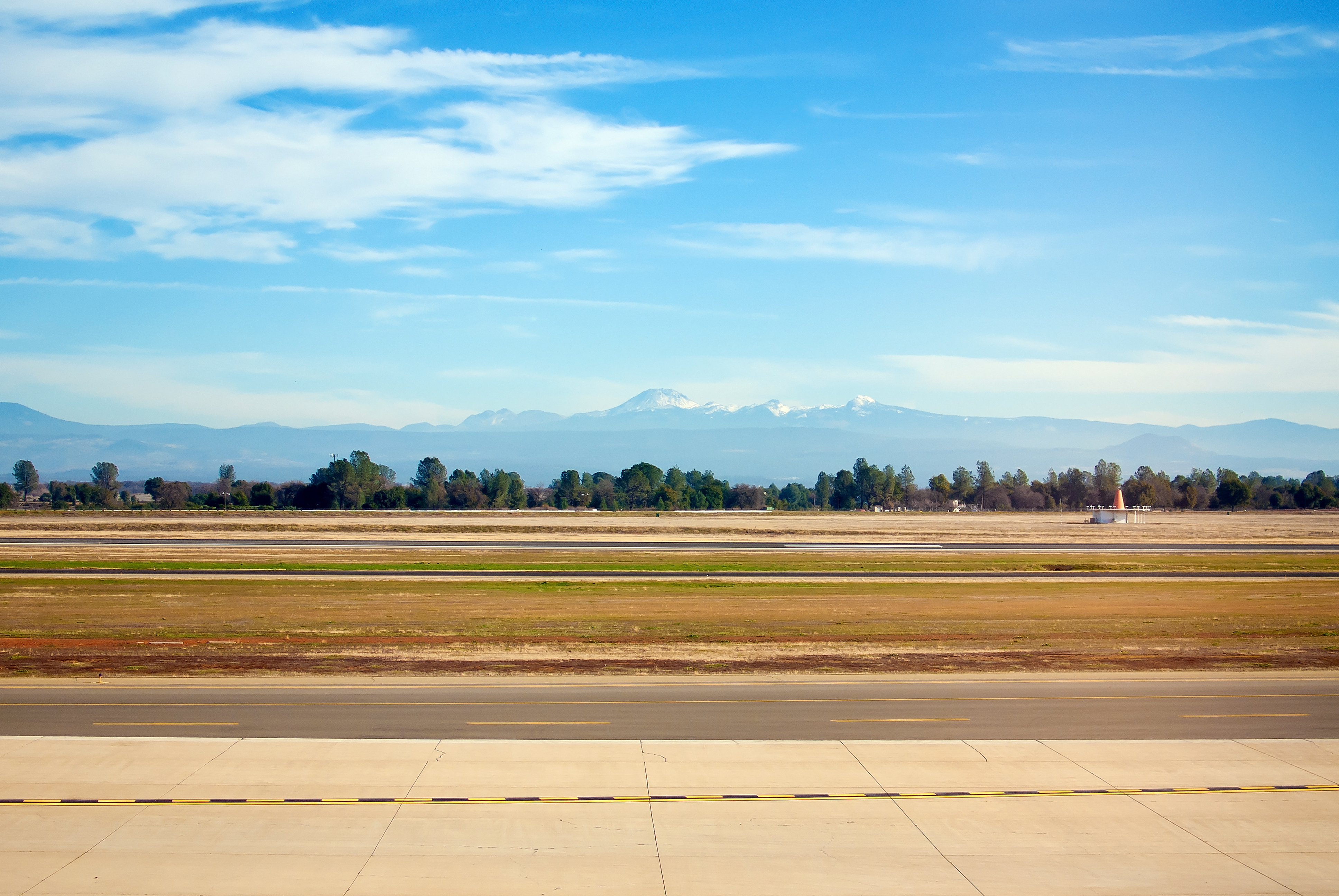
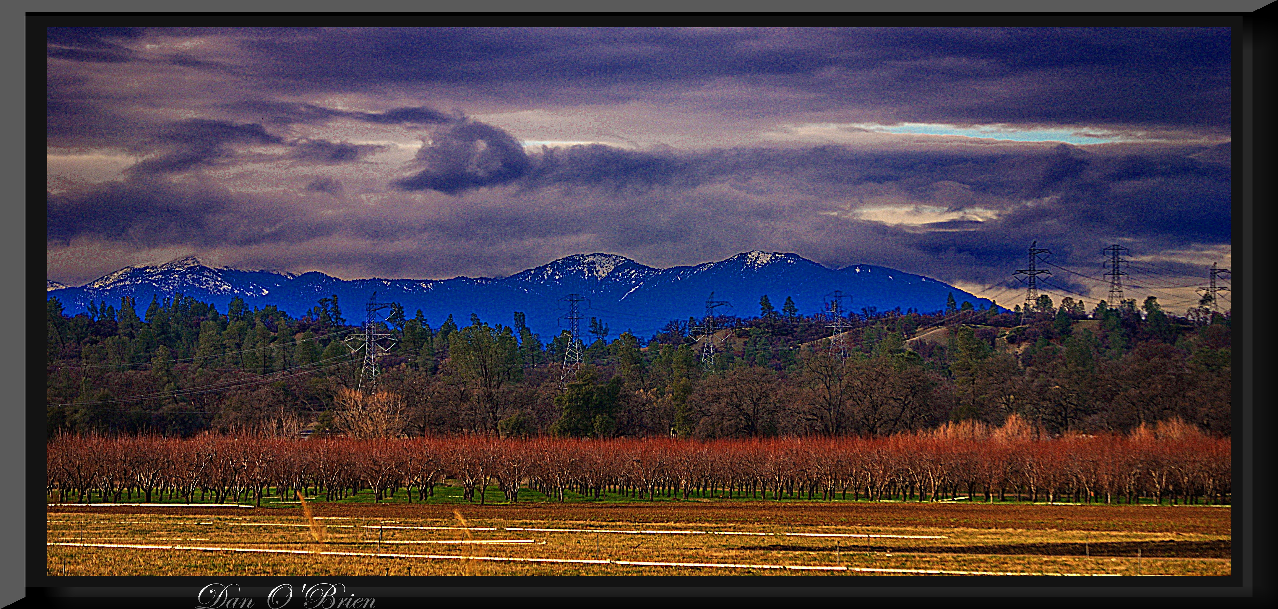
Mount Lassen
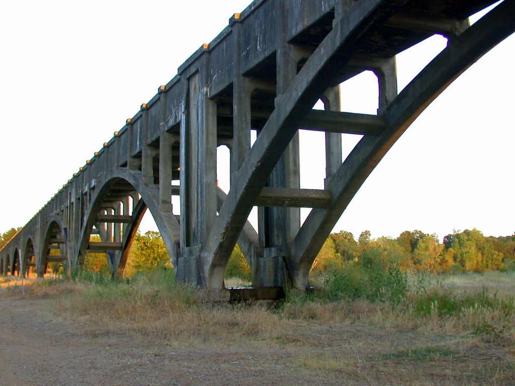
Parkville Br
Anderson Aquaduct_03

Corn field
San Francisco 2011
Looking West in Redding

Devious Pines
OZ (4)
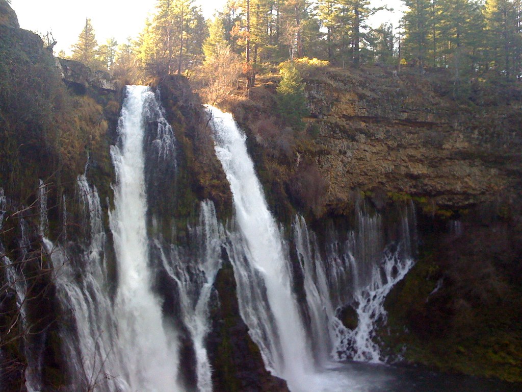
Burney falls

Greg Hawes

Historic Hawes Farms

On the Road to Mt. Shasta
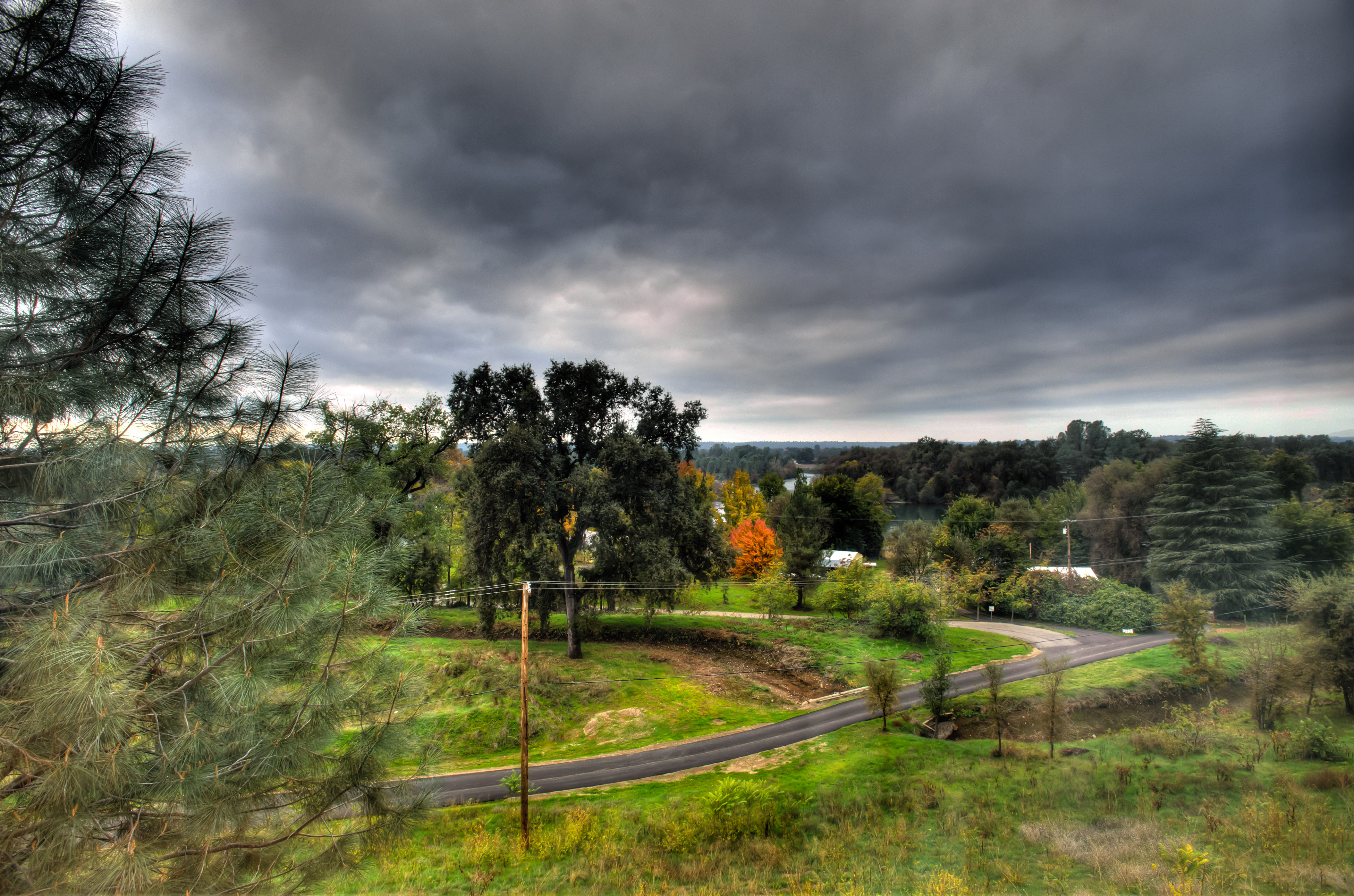
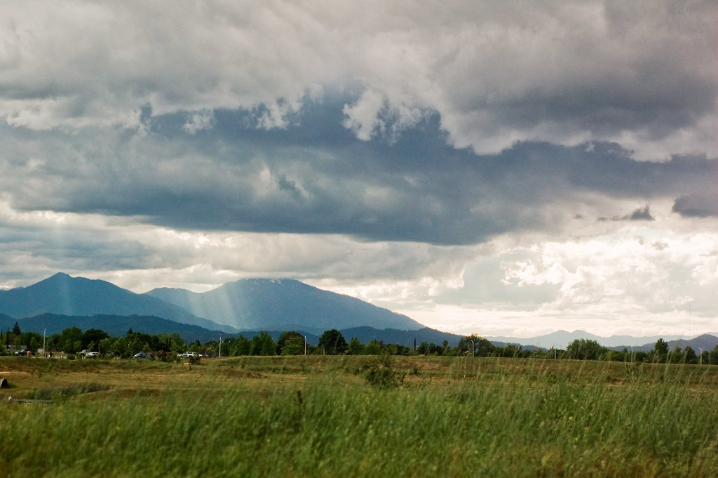
Passing storm
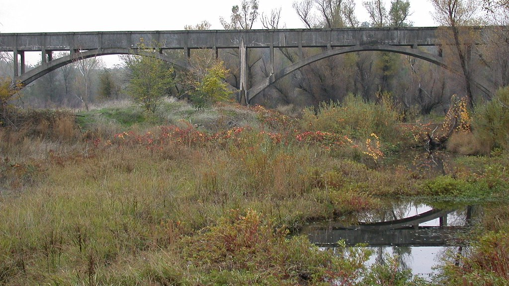
Anderson Aquaduct_07
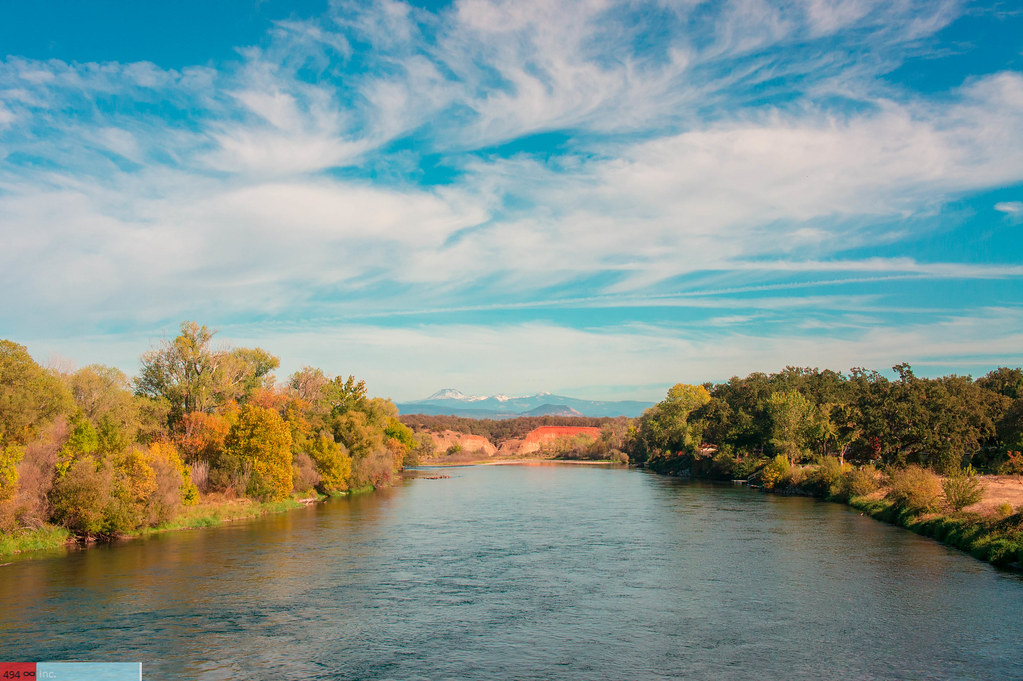
A Wispy River Tale
San Francisco 2011

Spotted Spreadwing

Spotted Spreadwing
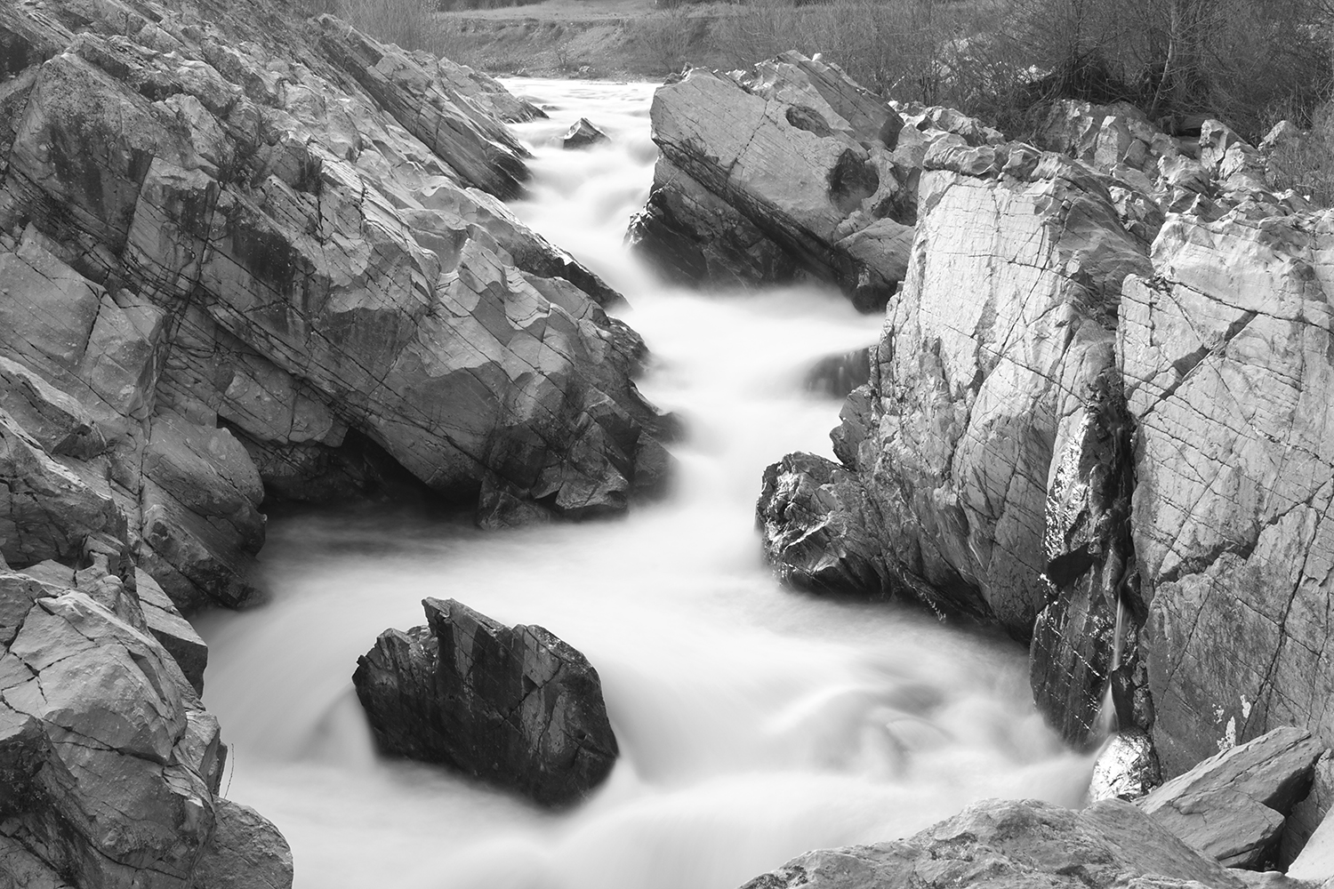
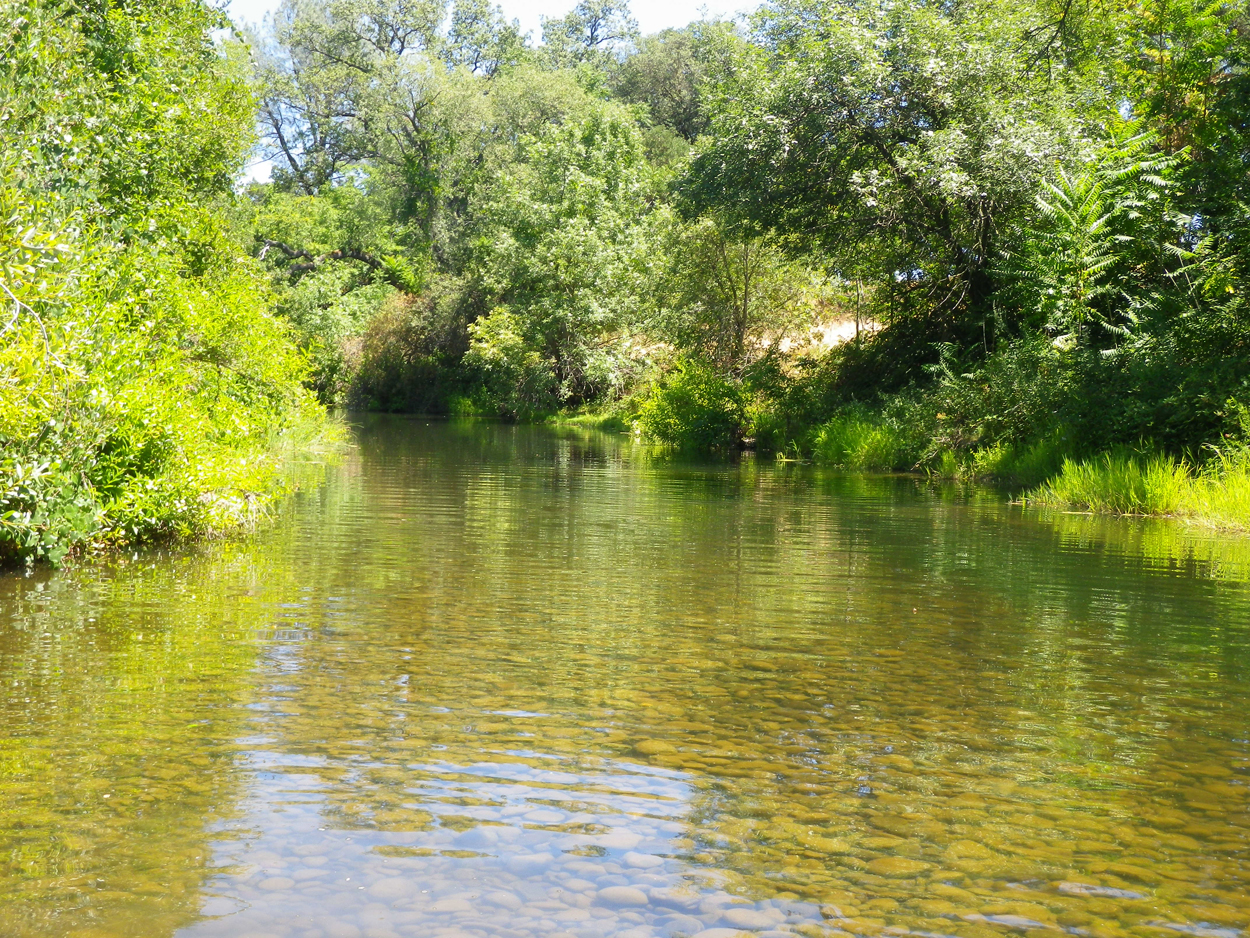
Clear Creek, near Redding
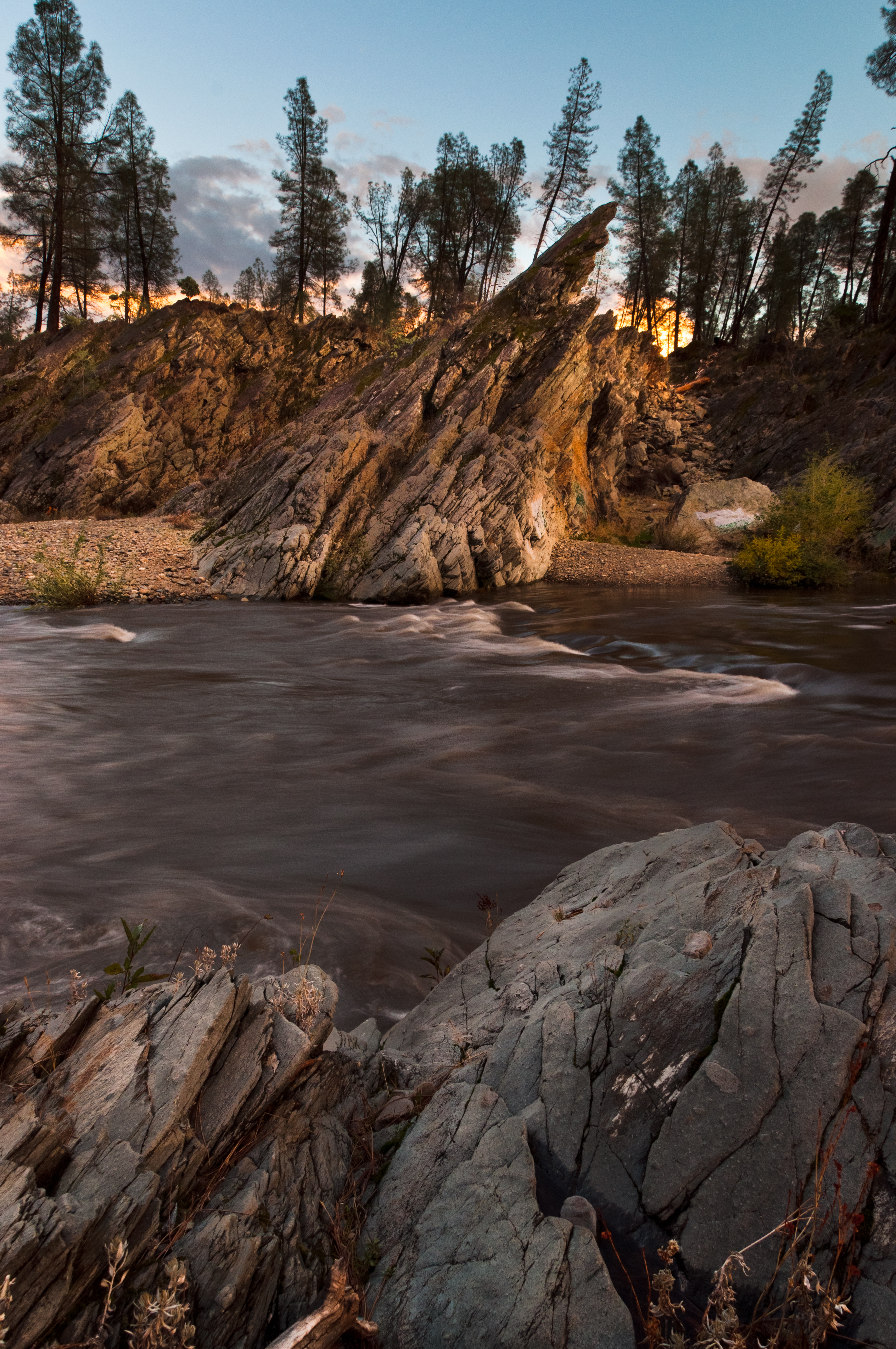
Clear Creek
Topographic Map of Anderson, CA, USA
Find elevation by address:

Places in Anderson, CA, USA:
Places near Anderson, CA, USA:
2296 Howard St
Cascade
3093 Sharon Ave
20282 Domaine Pl
22 La Colina Terrace
1051 Aquado Ave
Aquado Lane
6870 Riverland Dr
Pacheco
7408 Pacheco School Rd
19483 Knighton Rd
20122 Cindy Ln
21780 Los Altos Dr
8425 Churn Creek Rd
9023 Madrone Way
7891 Silver Bridge Rd
2518 Capella St
Parkside Manor
1599 Morningsun Dr
2028 Silverfield Loop
Recent Searches:
- Elevation of Corso Fratelli Cairoli, 35, Macerata MC, Italy
- Elevation of Tallevast Rd, Sarasota, FL, USA
- Elevation of 4th St E, Sonoma, CA, USA
- Elevation of Black Hollow Rd, Pennsdale, PA, USA
- Elevation of Oakland Ave, Williamsport, PA, USA
- Elevation of Pedrógão Grande, Portugal
- Elevation of Klee Dr, Martinsburg, WV, USA
- Elevation of Via Roma, Pieranica CR, Italy
- Elevation of Tavkvetili Mountain, Georgia
- Elevation of Hartfords Bluff Cir, Mt Pleasant, SC, USA