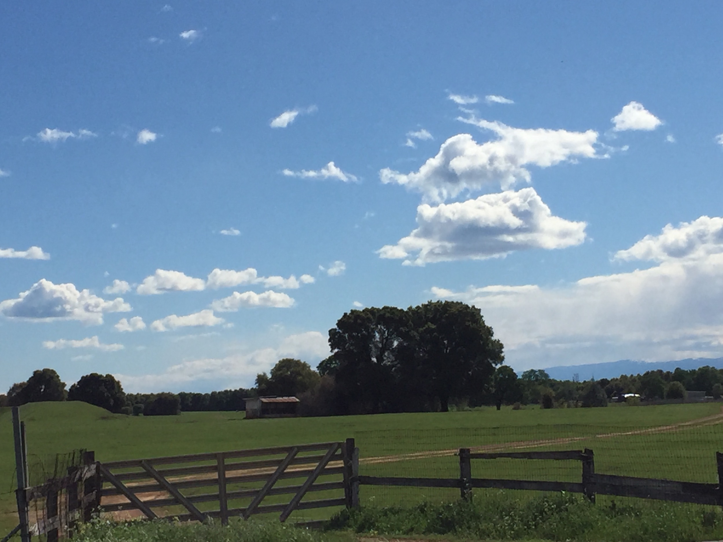
Elevation of Aquado Ave, Anderson, CA, USA

Location: United States > California > Tehama County > Anderson > Cascade >

Longitude: -122.32893

Latitude: 40.4514134

Elevation: 183m / 600feet

Barometric Pressure: 99KPa

Elevation Map:

elevation map of Aquado Ave, Anderson, CA, USA

Satellite Map:

Satellite map of Aquado Ave, Anderson, CA, USA

Related Photos:

california lighting morning trees mountain sunshine landscape volcano oak i5 scenic landmark olympus hills shasta e3 70300mm daytrip centralvalley circularpolarizer siskiyoucounty shastacounty californialandscape zd shastina zuikodigital telephotolandscape tehamacounty olympuse3
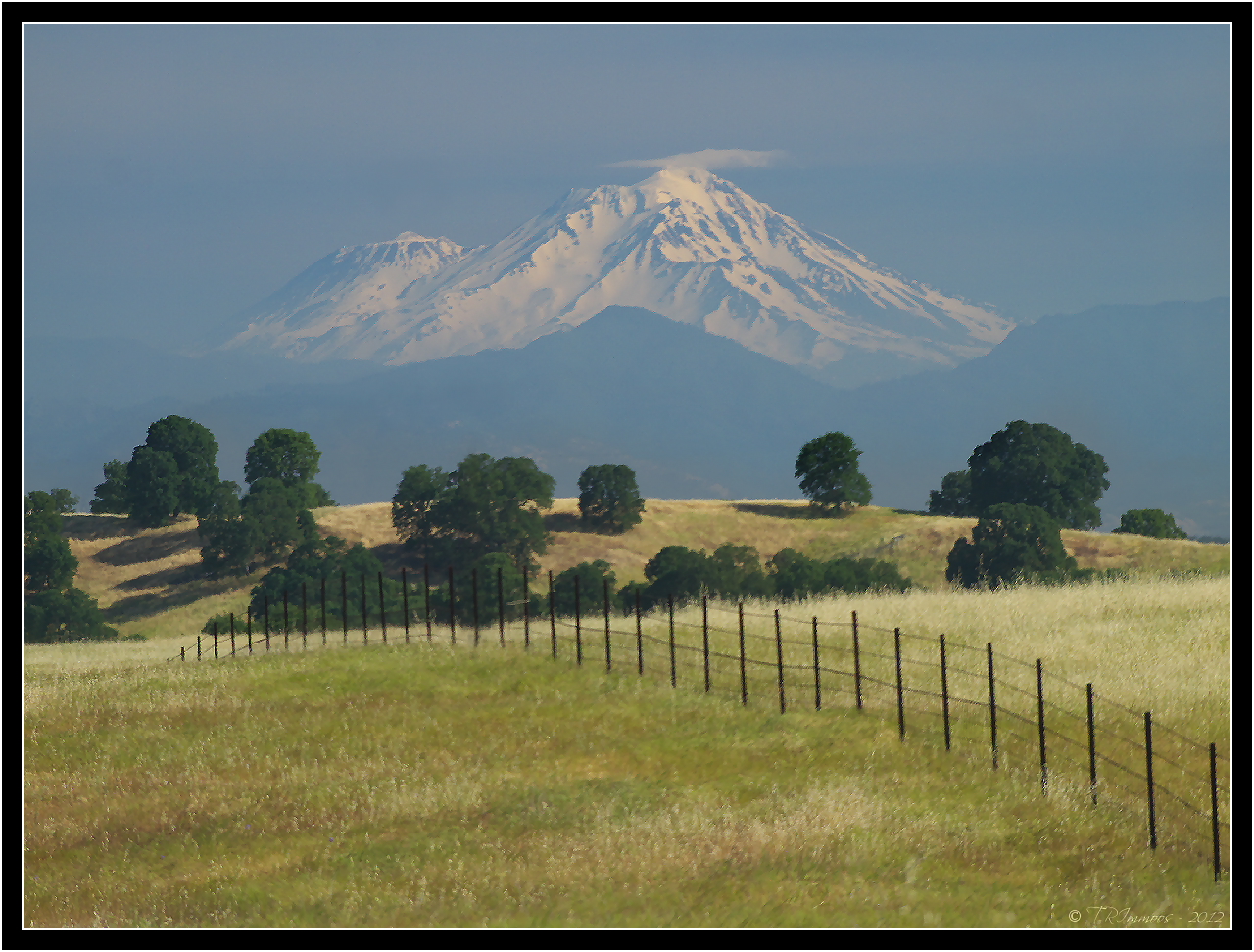
Mount Shasta - A Telephoto Landscape
square squareformat hudson iphoneography instagramapp uploaded:by=instagram foursquare:venue=4ba45d0bf964a520b09838e3
Changed hotels. Here's the view from the room - sunset on the Sacramento River. #roadtrip #redding #california #hotel #view #Sacramento #river #instagold #instagood #instagram #igdaily #igaddicts #ipodtouch #ipod
mossbraefallsdunsmuirburneyfallsmanzanitalakelassennatio mossbraefallsdunsmuirburneyfallsmanzanitalakelassennationalparkdayphotographywitherno
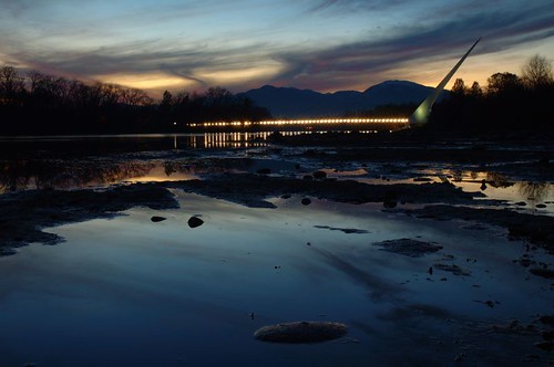
Sundial Bridge Lightning, The Sundial Bridge, Redding, CA
california ca bridge water gardens architecture river geotagged blog interestingness angle unique famous topv999 perspective structures bridges engineering pedestrian arboretum structure historic explore sundial architect rivers calatrava shasta blogged top100 top10 topv9999 frontpage suspensionbridge redding engineer span 28135mm exploratorium santiagocalatrava spans vantage sacramentoriver pedestrianbridge vantagepoint turtlebay top25 sundialbridge top50 shastacounty interestingness8 top500 cablestay i500 famousbridges bridgepix 25faves bridgepixcom turtlebayexplorationpark mcconnellfoundation famousstructures
Sundial Bridge at Turtle Bay
selfportrait canon naturallight 5dmarkii 70200mmf28lisiiusm cinemastylephotography
Self Portrait - 3
square squareformat normal iphoneography instagramapp uploaded:by=instagram foursquare:venue=4b0e1a9bf964a520085523e3
View just now from the hotel room. #sunset #colorful #clouds #sky #evening #winter #redding #california #roadtrip #Creation #beauty #ipod #ipodtouch #igdaily #igaddicts #instagold #instagood #instagram
california unitedstates redding hiltongardeninn
Morning View
selfportrait canon naturallight 5dmarkii 70200mmf28lisiiusm
Self Portrait - 2
selfportrait canon naturallight 5dmarkii 70200mmf28lisiiusm
Self Portrait - 1
ca portrait people rock stone us nikon granite gorge redding clearcreek d90 aaronpatterson
Whatever it Takes
square squareformat iphoneography instagramapp uploaded:by=instagram
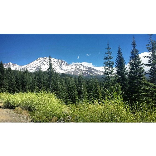
A perfect view of #MtShasta to end the weekend.
california park ca mountain church parish lady catholic peace roman mary north iglesia queen national igreja mtn nocal northern catolica volcanic redding mercy lassen gereja queenofpeace katholic ourladyofmercy konomark
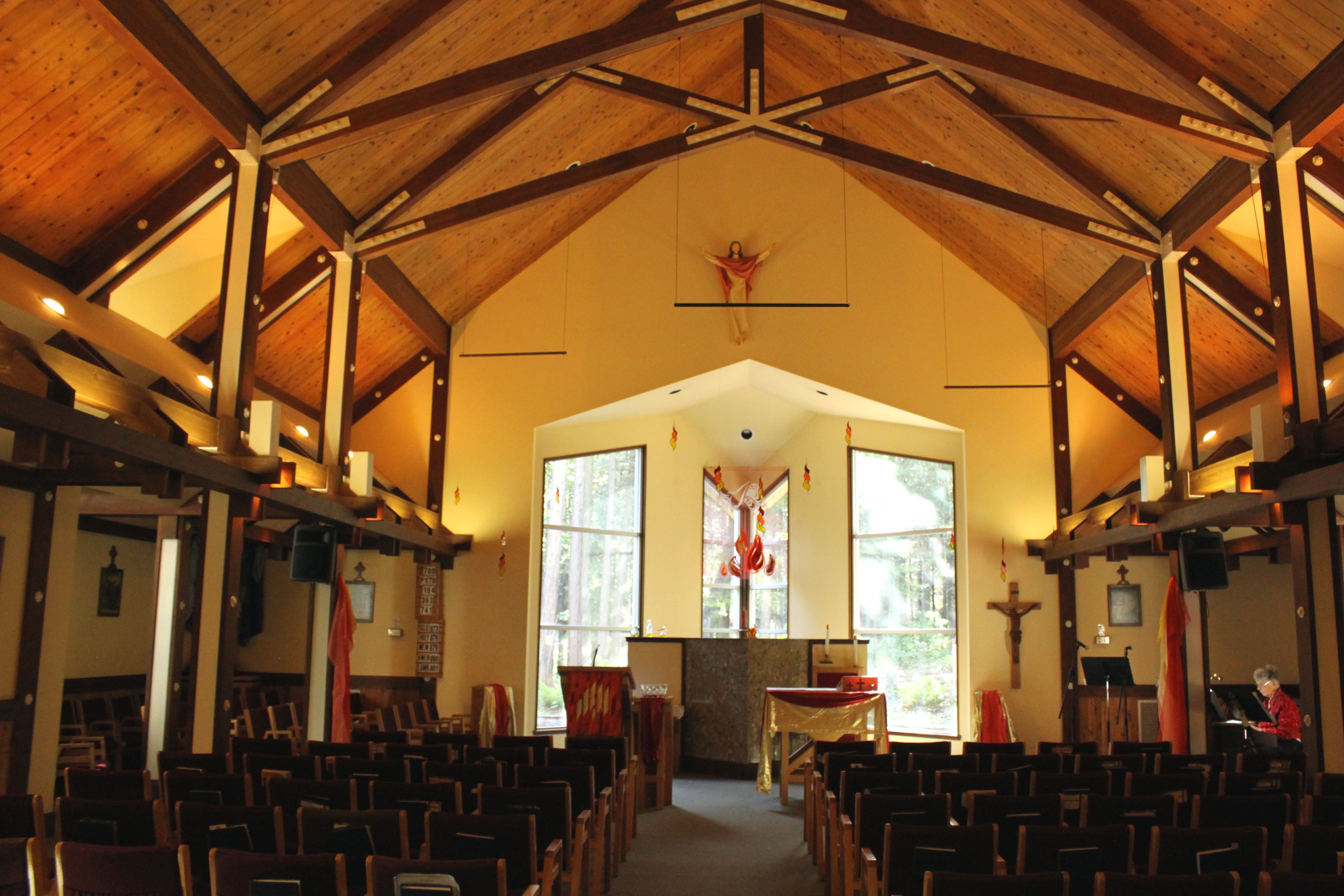
Our Lady of Mercy Parish
california northerncalifornia landscape redding
Redding morning
7shots mtlassen lassen mountains landscape fence field
Mt. Lassen
california bridge flickr group vietnam starbucks obrien dodge northern redding durango veterans users according owners acdsee d80 imagekind obd80 usersnilon
O'B (20)
california county mountain river jail shasta sacramento redding bally
A View of Redding, California
california street camera blackandwhite bw streetart blancoynegro america lens photography graffiti blackwhite nikon unitedstates noiretblanc zwartwit citylife streetphotography lifestyle fullframe nikkor fx redding pretoebranco 黑白 walkaround 흑백 nikkorlens d600 白黒 svartvitt siyahbeyaz businessdistrict primelens שחורלבן 都会 ニコン photographiederue nikond600 gatufotografi ニッコールレンズ ライフスタイル ニッコール fotografíaenblancoynegro schwarzweisfotografie strasenfotografie nikonfx уличнаяфотография 都市生活 ストリートスナップ fxcamera 24mmprimelens чёрнобелаяфотография عکاسیسیاهوسفید nikon24mmf28dafnikkorlens nikkor24mmf28daflens ニコンd600 ബ്ലാക്ക്ആൻഡ്വൈറ്റ്
After the Storm - Downtown Redding, California, USA
carr fire panorama downtown redding smoke plume plumes california sky city 360 degrees
Carr Fire View from Downtown Redding Panorama
carr fire plume from downtown redding smoke smokey california sun sky
Carr Fire Plume from Downtown Redding
flyfishing sacramentoriver wildtrout
LOWER SACRAMENTO @PARK VIEW BRIDGE
california sign restaurant norcal redding
View 202
square squareformat hudson iphoneography instagramapp uploaded:by=instagram foursquare:venue=4e5ace60a8098920b3d11325
A man fly fishing in the Sacramento River. #sacramento #river #redding #california #roadtrip #sunny #blue #sky #fly #fishing #roadtrip #california #instagram #instagold #instagood #igaddicts #ipodtouch #igdaily #ipod
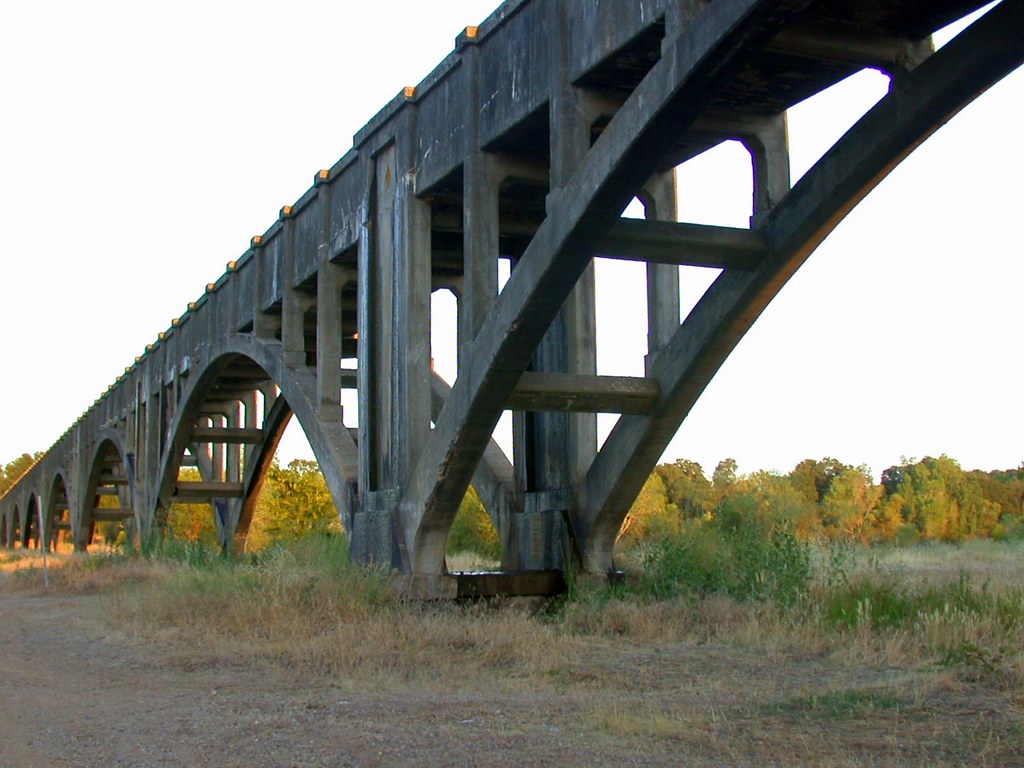
turtlebay architecture sundialbridge redding bridge print bw california unitedstates us
Sundial Bridge
california mountain canon landscape unitedstates 7d mountshasta fenceline
On the Road to Mt. Shasta
white black creek clear
Clear Creek, near Redding
ca sunset bird rock stone landscape dead death us feathers bones redding sacramentoriver furrows lifecycle carcas nohdr
Beautiful Ending
california bridge sunset topv111 river geotagged sundial calatrava sacramento redding sacramentoriver sundialbridge geolat40590932 geolon122377739 nikonstunninggallery
Sundial Bridge / Sacramento River
ca sunset landscape us rocks pines bluehour redding crooked clearcreek blendedbracket
Devious Pines
trees sunset summer sun mountain mountains reflection tree water canon river anderson sacramento s3is canons3is aplusphoto onlythebestare
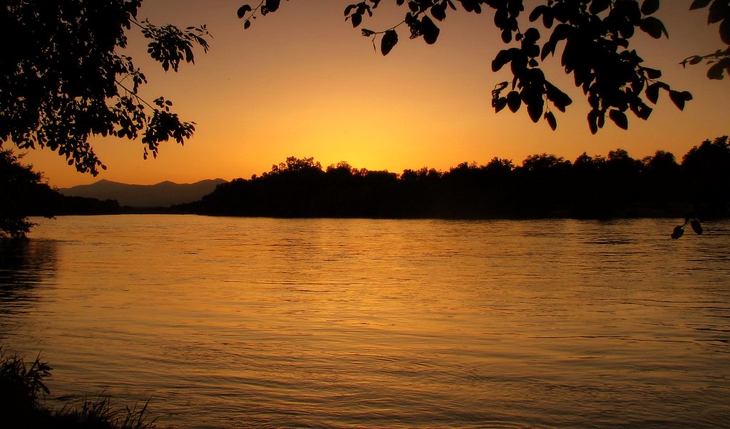
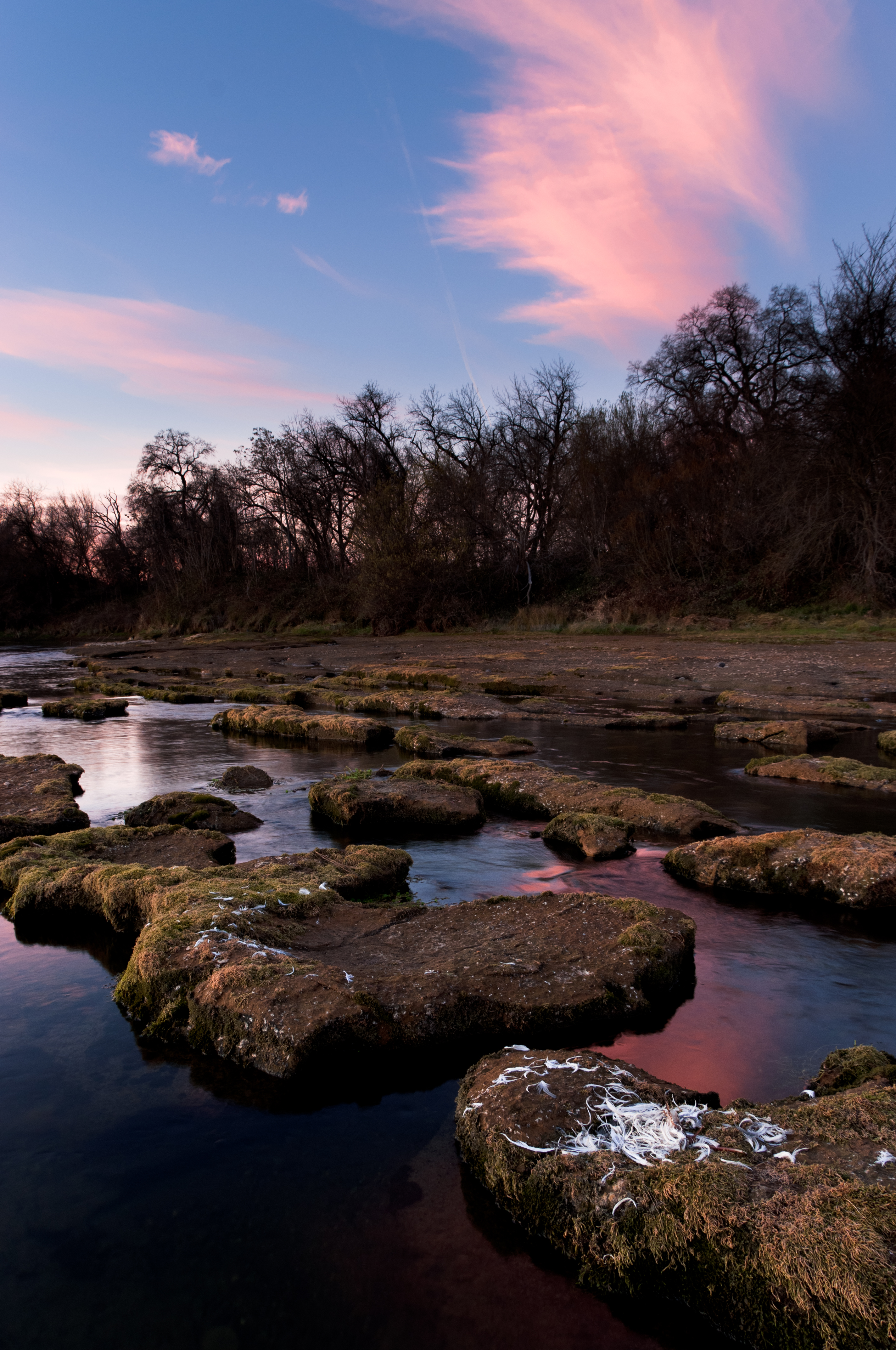
sacramento river sunset
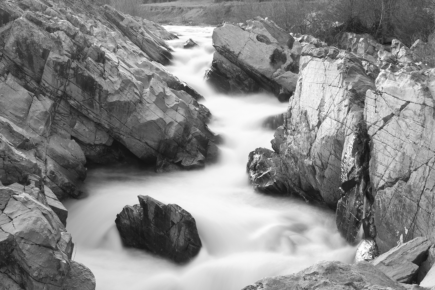
ca sunset rock creek river landscape us granite redding pinetrees magichour clearcreek
Clear Creek
california road park ca november autumn fall ess bikepath bike forest river walking landscape landscapes shaped hiking path walk exploring curves topv999 hike explore trail paths curve shape curved intimate exploration redding 100400mm sacramentoriver rivertrail turtlebay biketrail shastacounty landscapephotography forested turtlebayexplorationpark cityofredding
A Path of Exploration and Learning - Turtle Bay Exploration Park - Redding, Shasta County, California
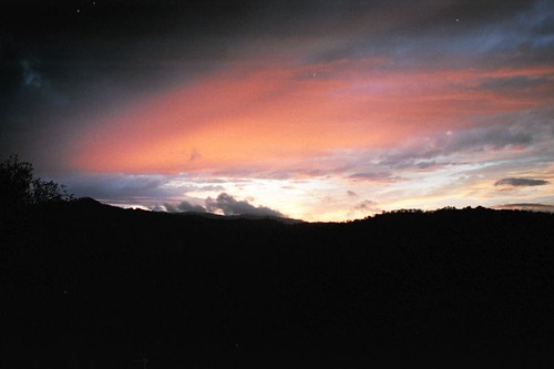
family longbeach vanburens
Redding Sunset
california ca bridge 2002 landscape geotagged nikon aqueduct anderson e995 dcsaint
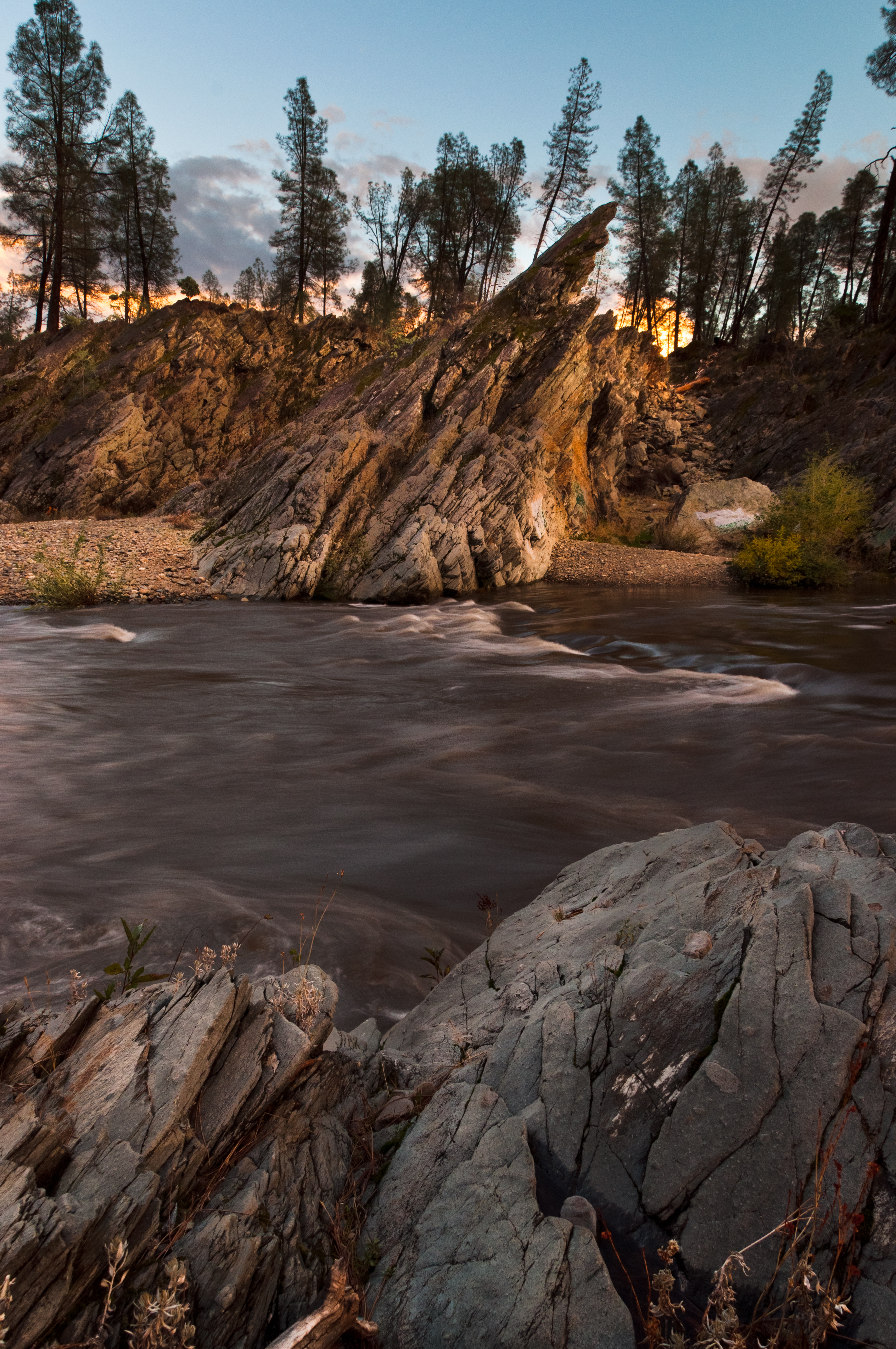
Anderson Aquaduct_03
square squareformat iphoneography instagramapp xproii uploaded:by=instagram
on a street nearby......#mylittleworld #horizon #landscape. #skyblazing
All Photos-2659
All Photos-2630
california bridge sky backlight clouds landscape unitedstates redding sundialbridge
Sundial Bridge Detail
ca rain creek landscape us waterfall moss iron wash veins redding silt decomposedgranite pietyhillfalls minderals
Colors of Piety Falls
california shadow sky brick wall clouds landscape unitedstates streetlamp redding
Redding-19
longexposure waterfall redding whiskeytown nationalrecreationarea brandycreekfalls d3100 nikond3100
Redding Brandy Creek Falls Whiskeytown National Park