Elevation of Pacheco School Rd, Redding, CA, USA
Location: United States > California > Shasta County > Redding > Pacheco >
Longitude: -122.32890
Latitude: 40.5049845
Elevation: 136m / 446feet
Barometric Pressure: 100KPa
Elevation Map:
Satellite Map:
Related Photos:

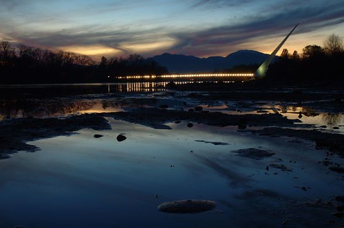
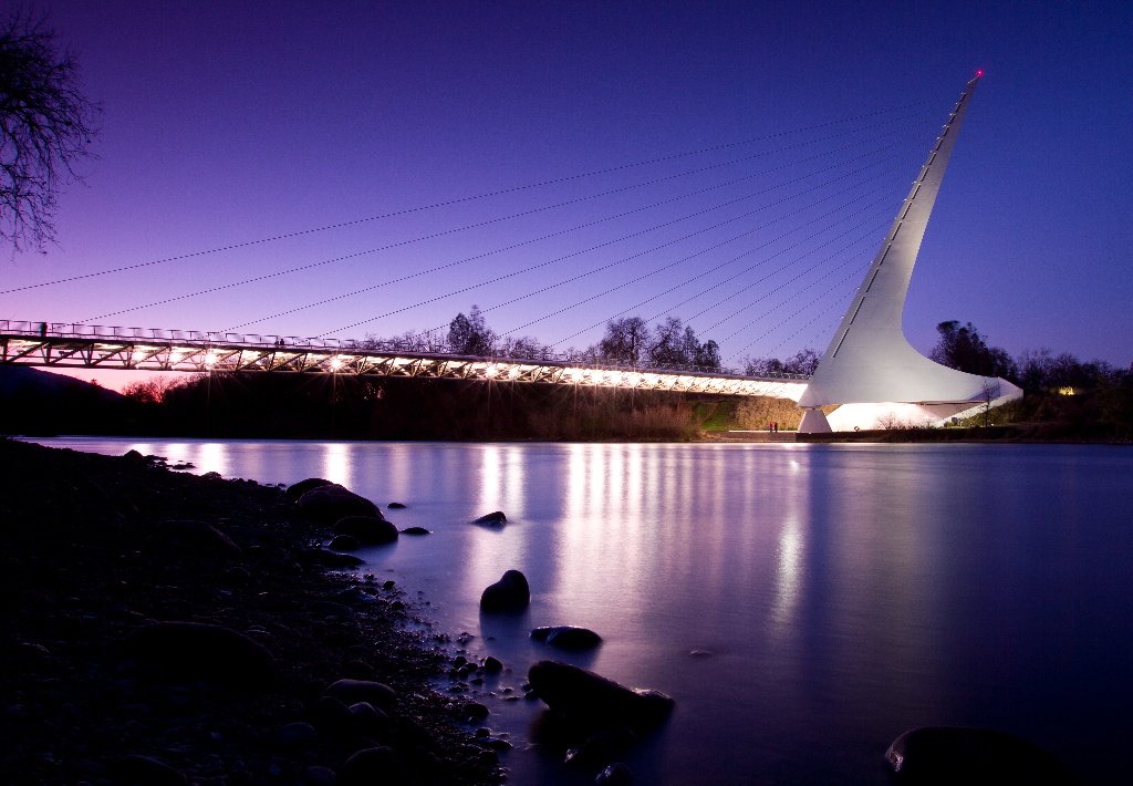
Sundial Bridge at Turtle Bay (II)

Sundial Bridge Lightning, The Sundial Bridge, Redding, CA

Self Portrait - 3

Self Portrait - 1
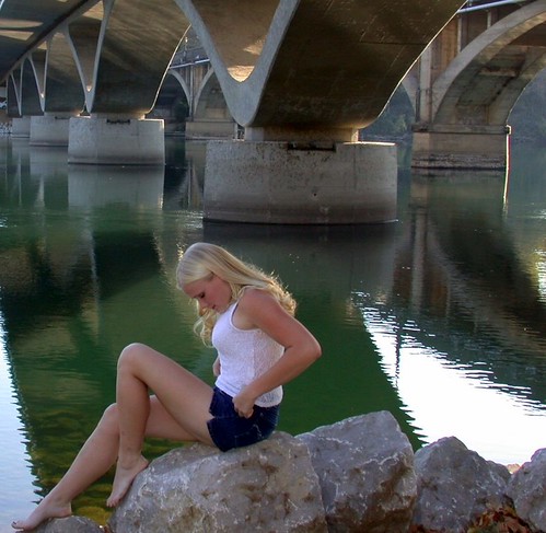
Girl By Bridges
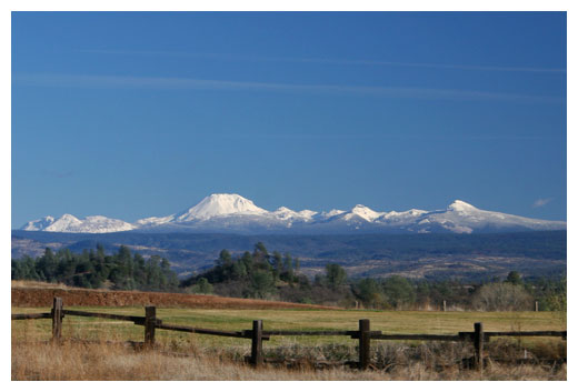
Mt. Lassen

California Winter

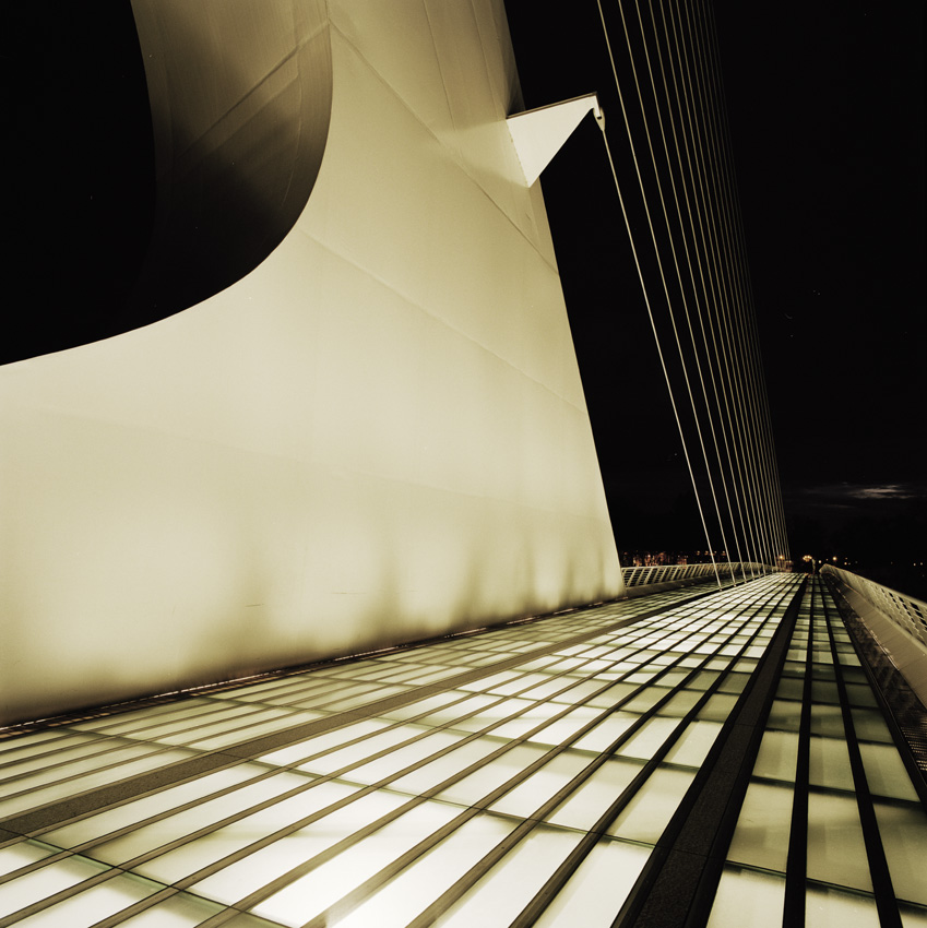
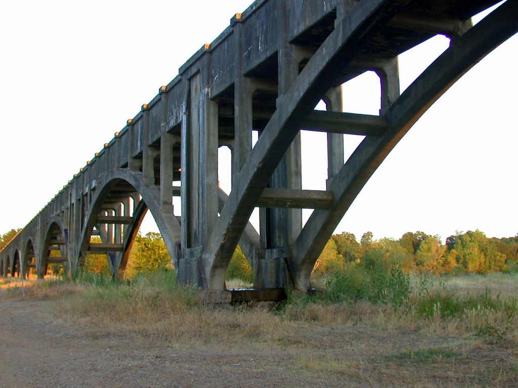
Calatrava's Sundial Bridge, Redding, California

Changed hotels. Here's the view from the room - sunset on the Sacramento River. #roadtrip #redding #california #hotel #view #Sacramento #river #instagold #instagood #instagram #igdaily #igaddicts #ipodtouch #ipod

Sundial Bridge at Turtle Bay
Sundial Bridge, Redding

Sunset over Sacramento River

Redding, CA OES Fire Engine 329 for Shasta County

View just now from the hotel room. #sunset #colorful #clouds #sky #evening #winter #redding #california #roadtrip #Creation #beauty #ipod #ipodtouch #igdaily #igaddicts #instagold #instagood #instagram
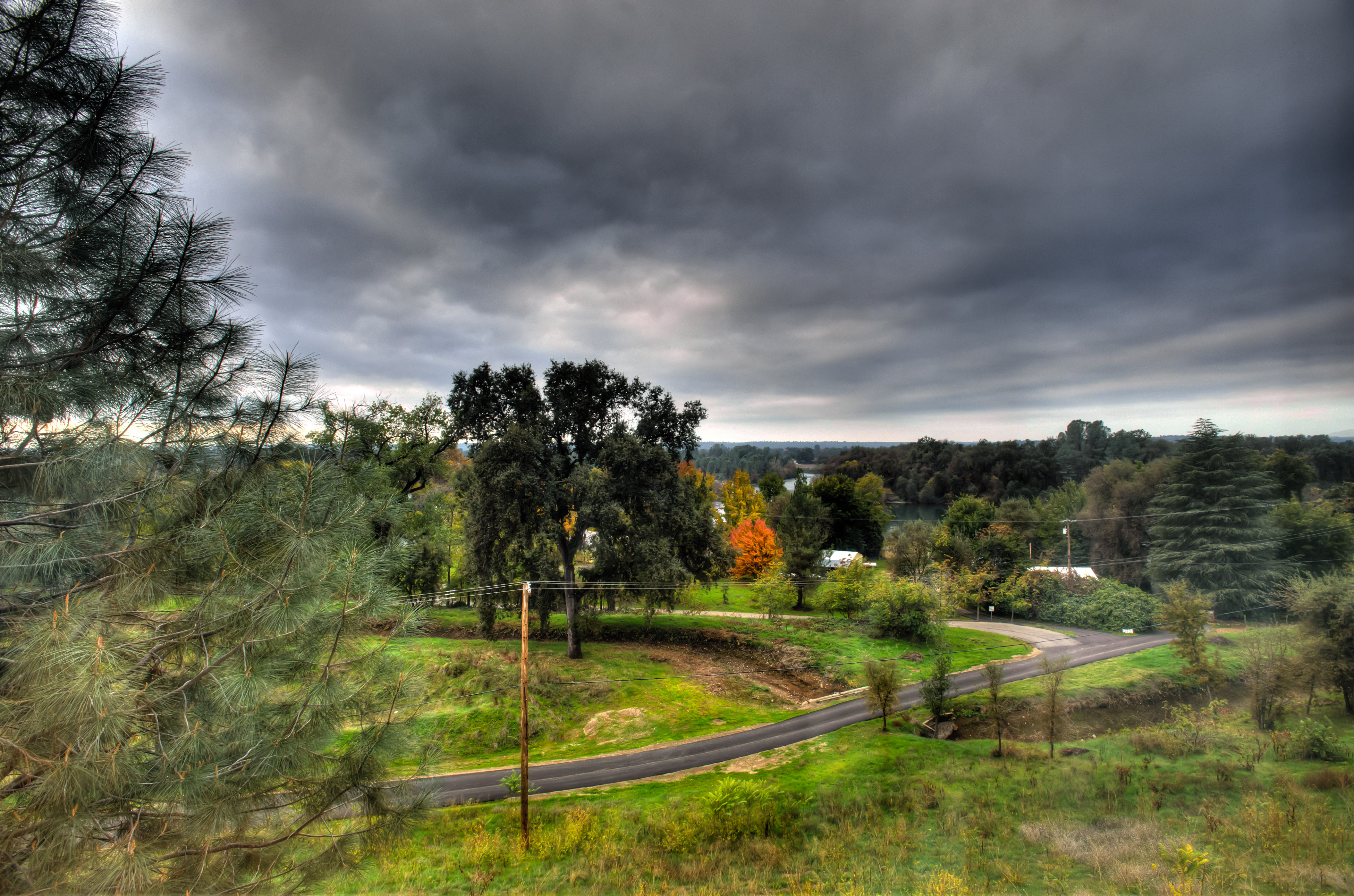
Morning View

Self Portrait - 2

Redding, CASD59MX-UP 9900

Roberts_68 Sundial Bridge

UP9921-9900-9924
Whatever it Takes
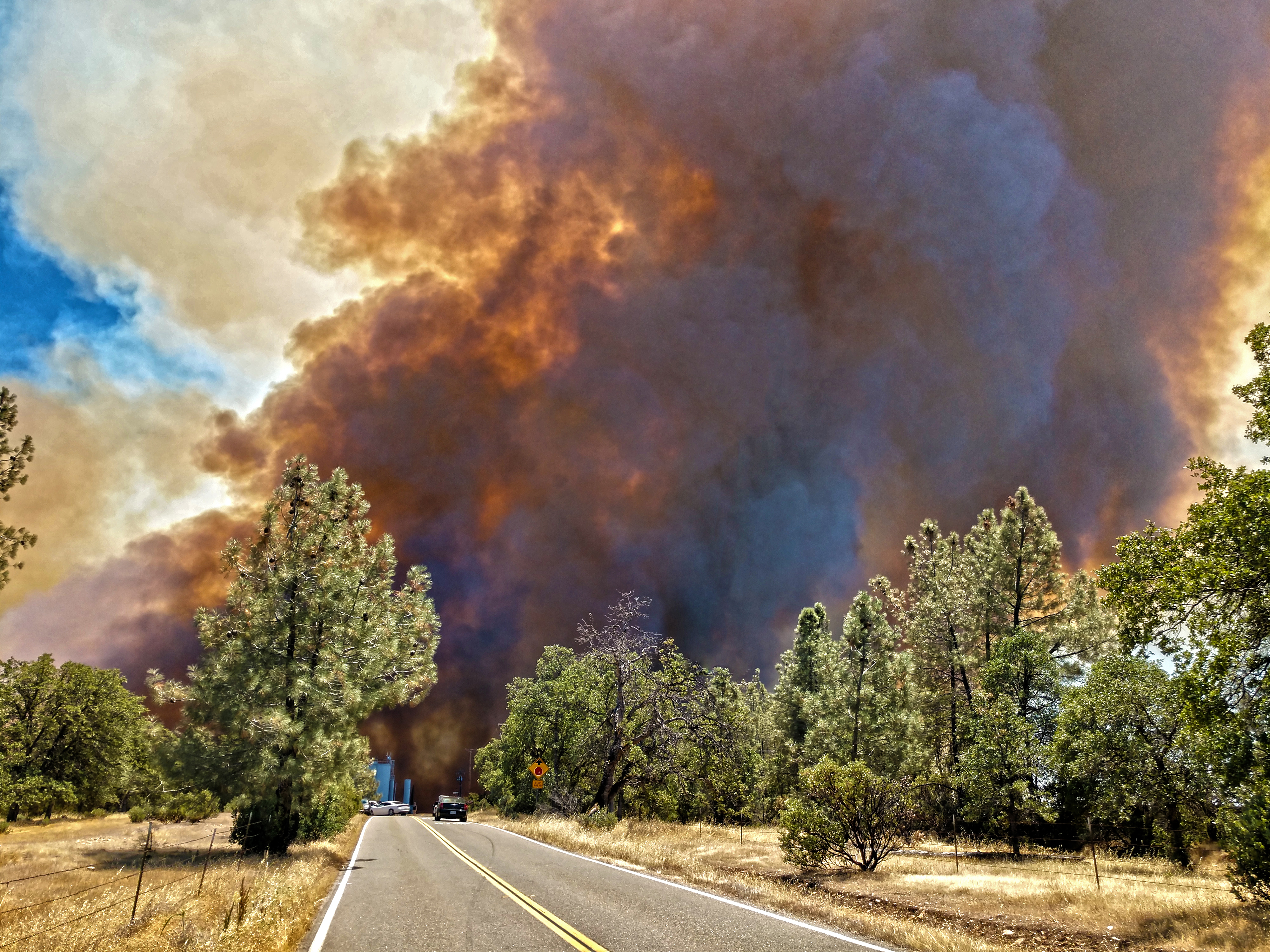
Smoke!
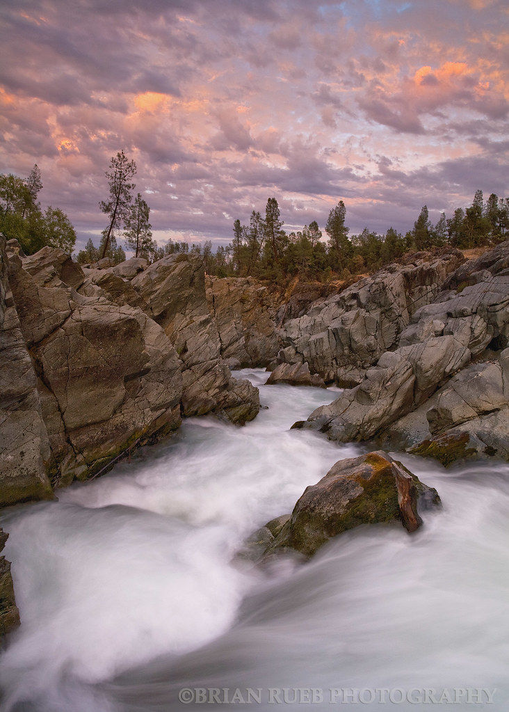
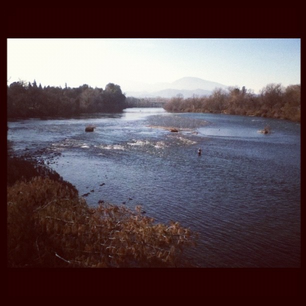
Clear Creek
Almost there
The Furrows
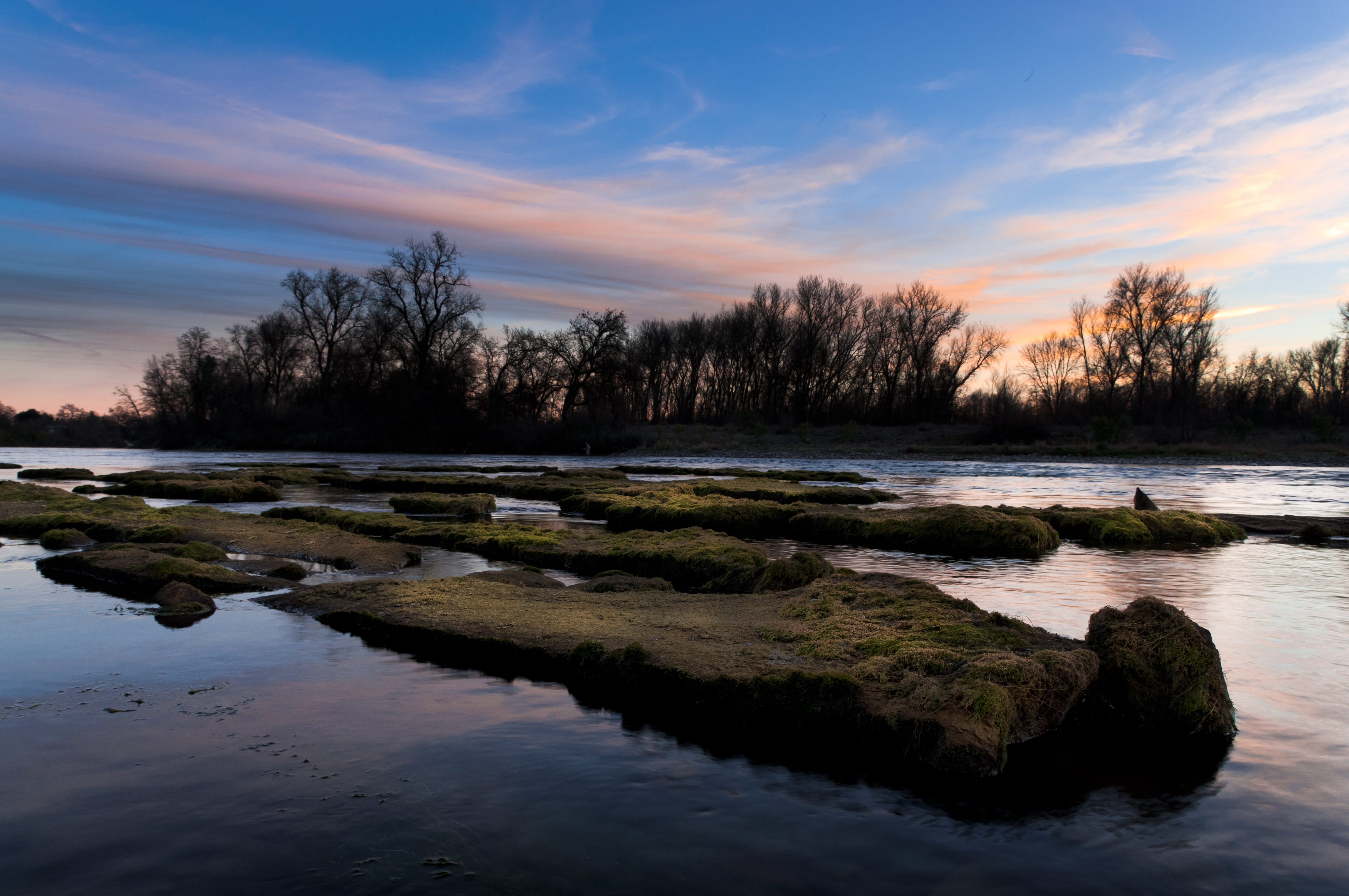
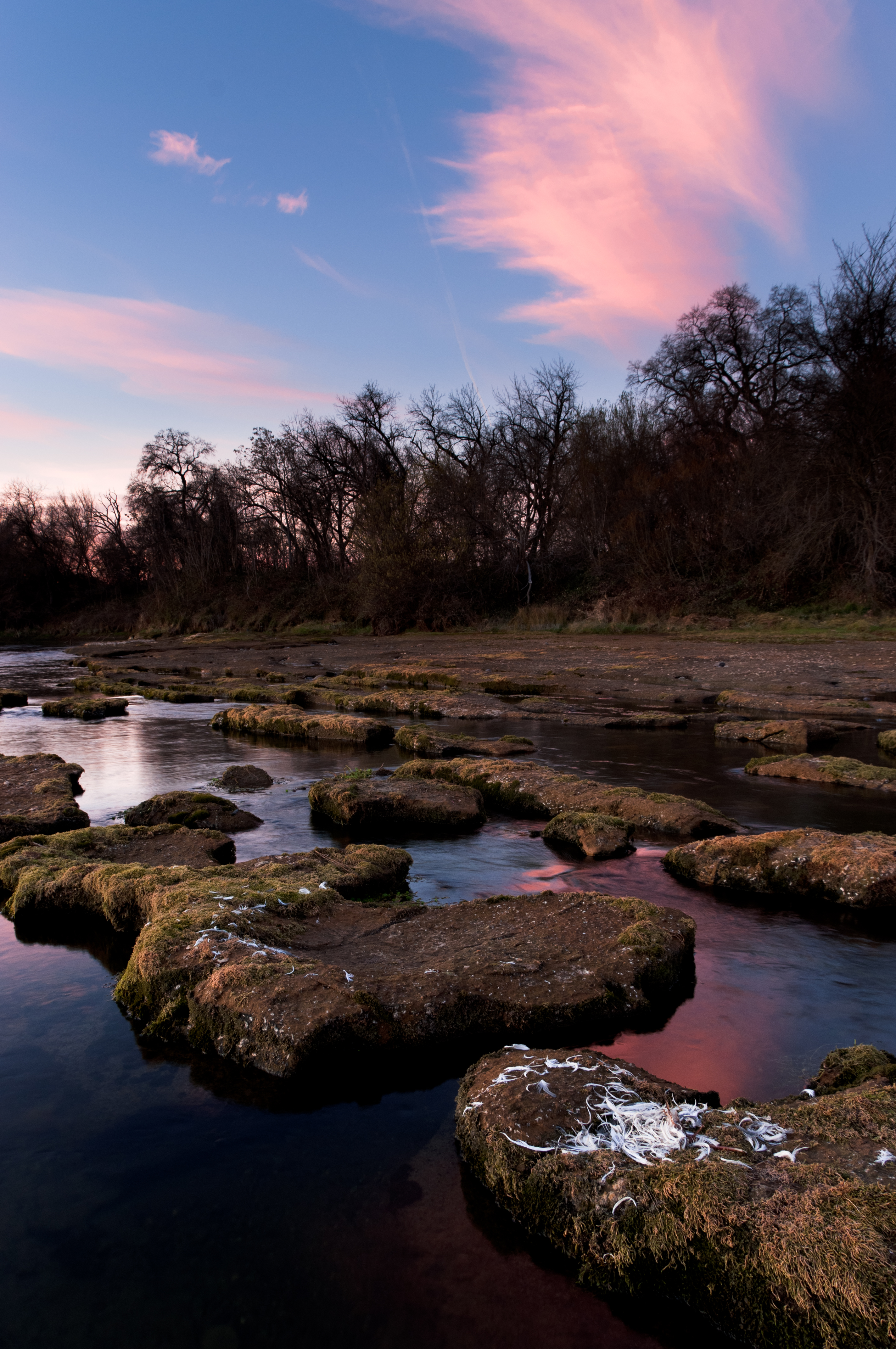
Sundial Bridge / Sacramento River
Anderson Aquaduct_03
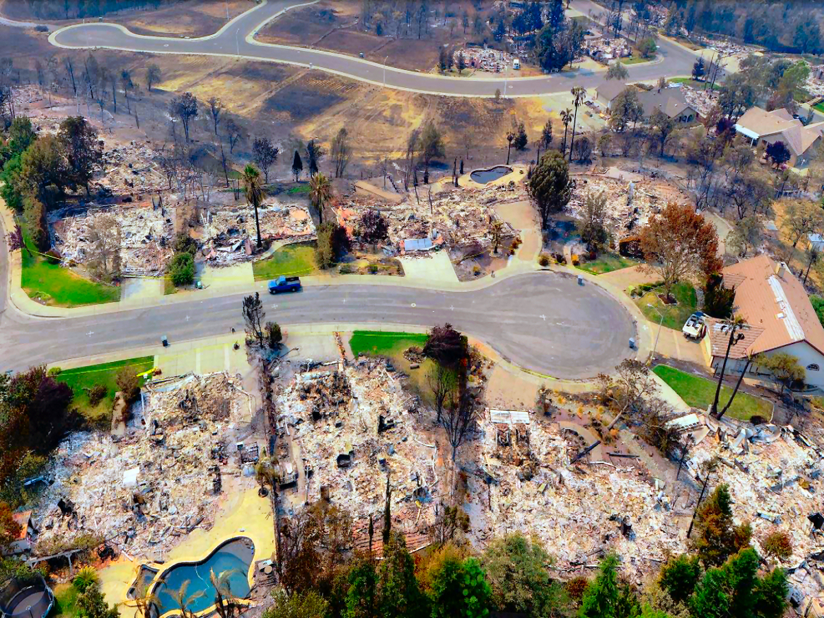
Carr-Fire-Redding-California-July-2018-06
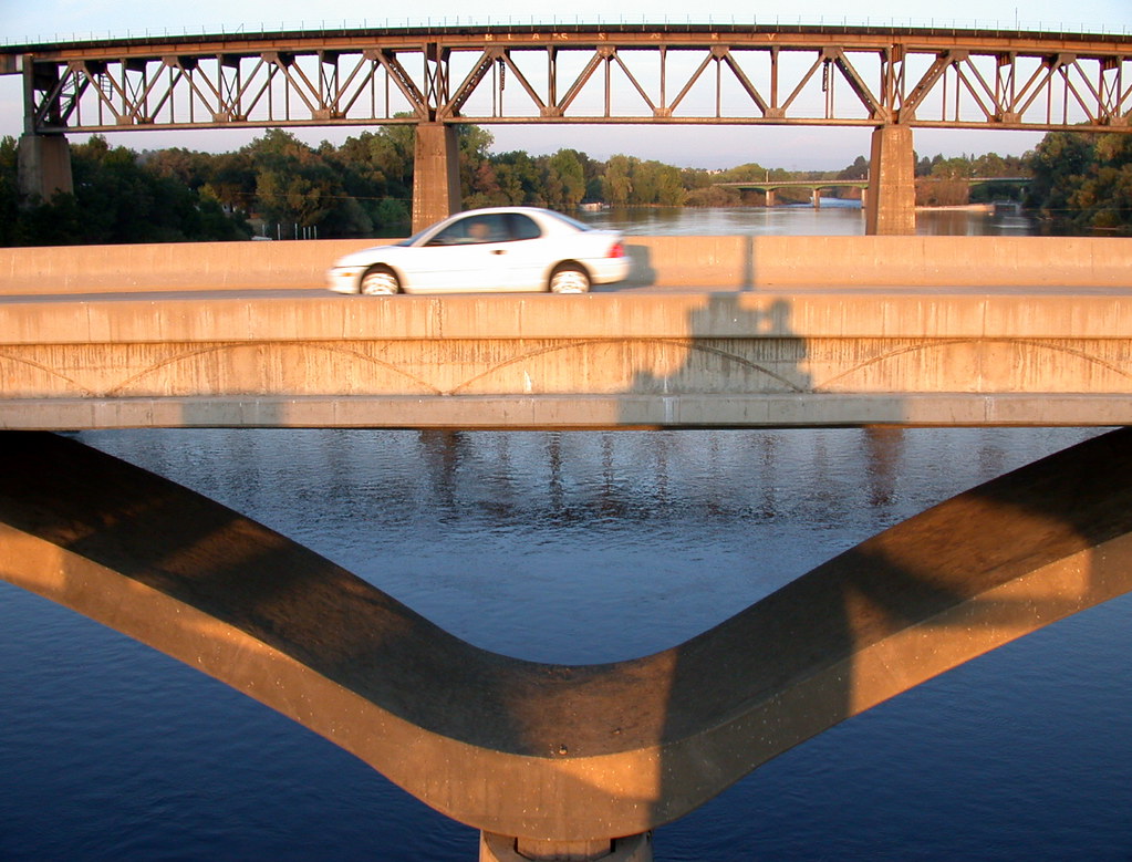
Car On Bridge
A man fly fishing in the Sacramento River. #sacramento #river #redding #california #roadtrip #sunny #blue #sky #fly #fishing #roadtrip #california #instagram #instagold #instagood #igaddicts #ipodtouch #igdaily #ipod

Sundial Bridge
Sundial Bridge Redding Ca.

Mount Shasta
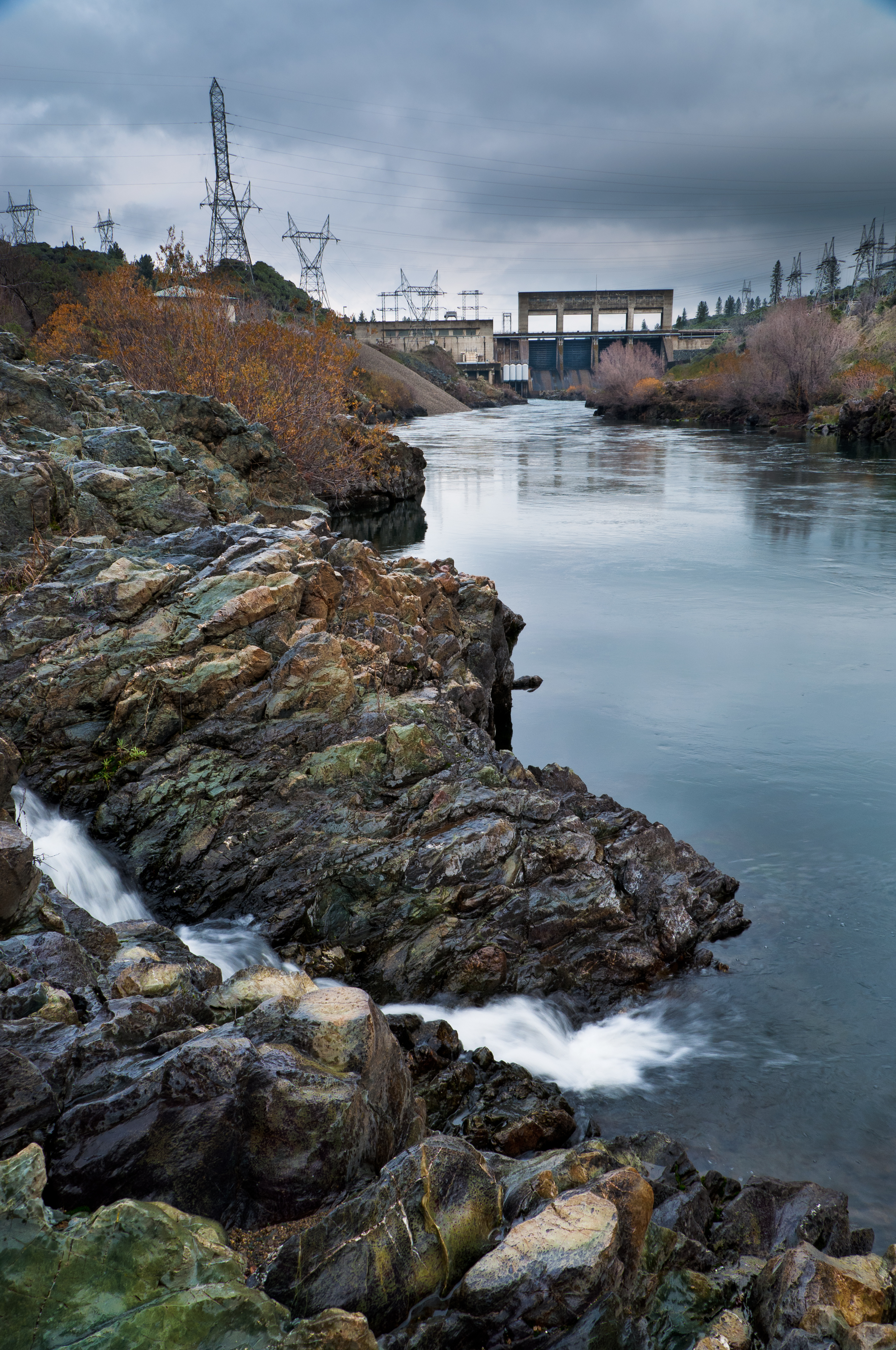
Keswick Dam
Random photography
Sundial Spring

Devious Pines

Flower Save the Hours
Mount Shasta
Sunrise at Simpson [03.30.13]

A Path of Exploration and Learning - Turtle Bay Exploration Park - Redding, Shasta County, California
Beautiful Ending

on a street nearby......#mylittleworld #horizon #landscape. #skyblazing
Topographic Map of Pacheco School Rd, Redding, CA, USA
Find elevation by address:

Places near Pacheco School Rd, Redding, CA, USA:
19483 Knighton Rd
6870 Riverland Dr
20122 Cindy Ln
8425 Churn Creek Rd
Pacheco
1599 Morningsun Dr
2518 Capella St
Parkside Manor
2028 Silverfield Loop
Woodhaven Homes
Aquado Lane
1051 Aquado Ave
2023 Marlene Ave
9023 Madrone Way
Cascade
3093 Sharon Ave
22 La Colina Terrace
Fairway Avenue
2823 Robert Ct
2296 Howard St
Recent Searches:
- Elevation of Corso Fratelli Cairoli, 35, Macerata MC, Italy
- Elevation of Tallevast Rd, Sarasota, FL, USA
- Elevation of 4th St E, Sonoma, CA, USA
- Elevation of Black Hollow Rd, Pennsdale, PA, USA
- Elevation of Oakland Ave, Williamsport, PA, USA
- Elevation of Pedrógão Grande, Portugal
- Elevation of Klee Dr, Martinsburg, WV, USA
- Elevation of Via Roma, Pieranica CR, Italy
- Elevation of Tavkvetili Mountain, Georgia
- Elevation of Hartfords Bluff Cir, Mt Pleasant, SC, USA