Elevation of Churn Creek Rd, Redding, CA, USA
Location: United States > California > Shasta County > Redding > Pacheco >
Longitude: -122.33330
Latitude: 40.5318732
Elevation: 141m / 463feet
Barometric Pressure: 100KPa
Elevation Map:
Satellite Map:
Related Photos:

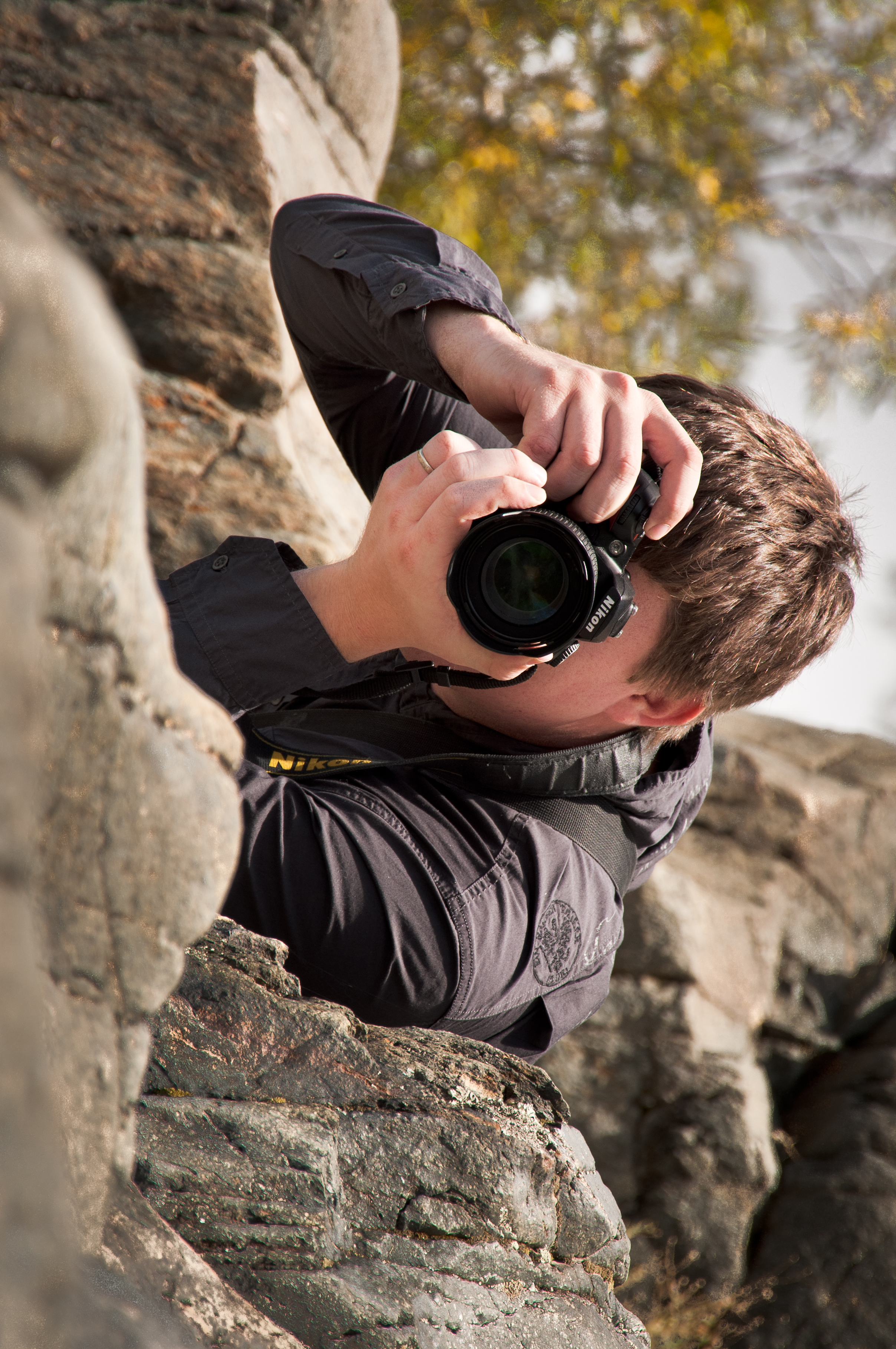
Self Portrait - 1

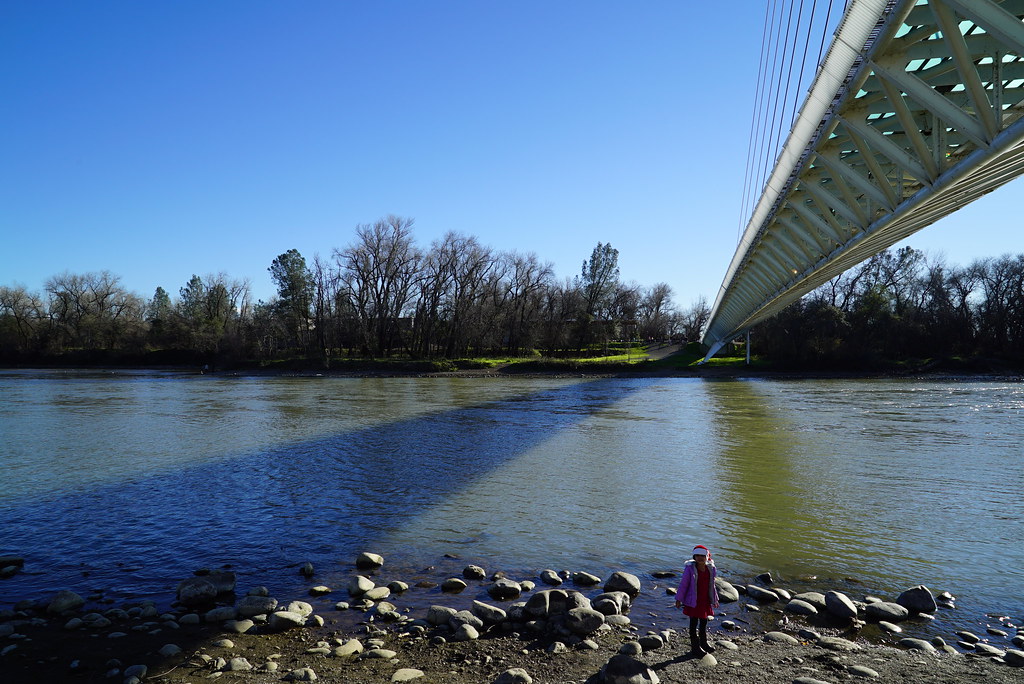
Sundial Bridge at Turtle Bay Exploration Park facing Sacramento River west view in Redding, California.

Sundial Bridge at Turtle Bay Exploration Park facing west view in Redding, California.
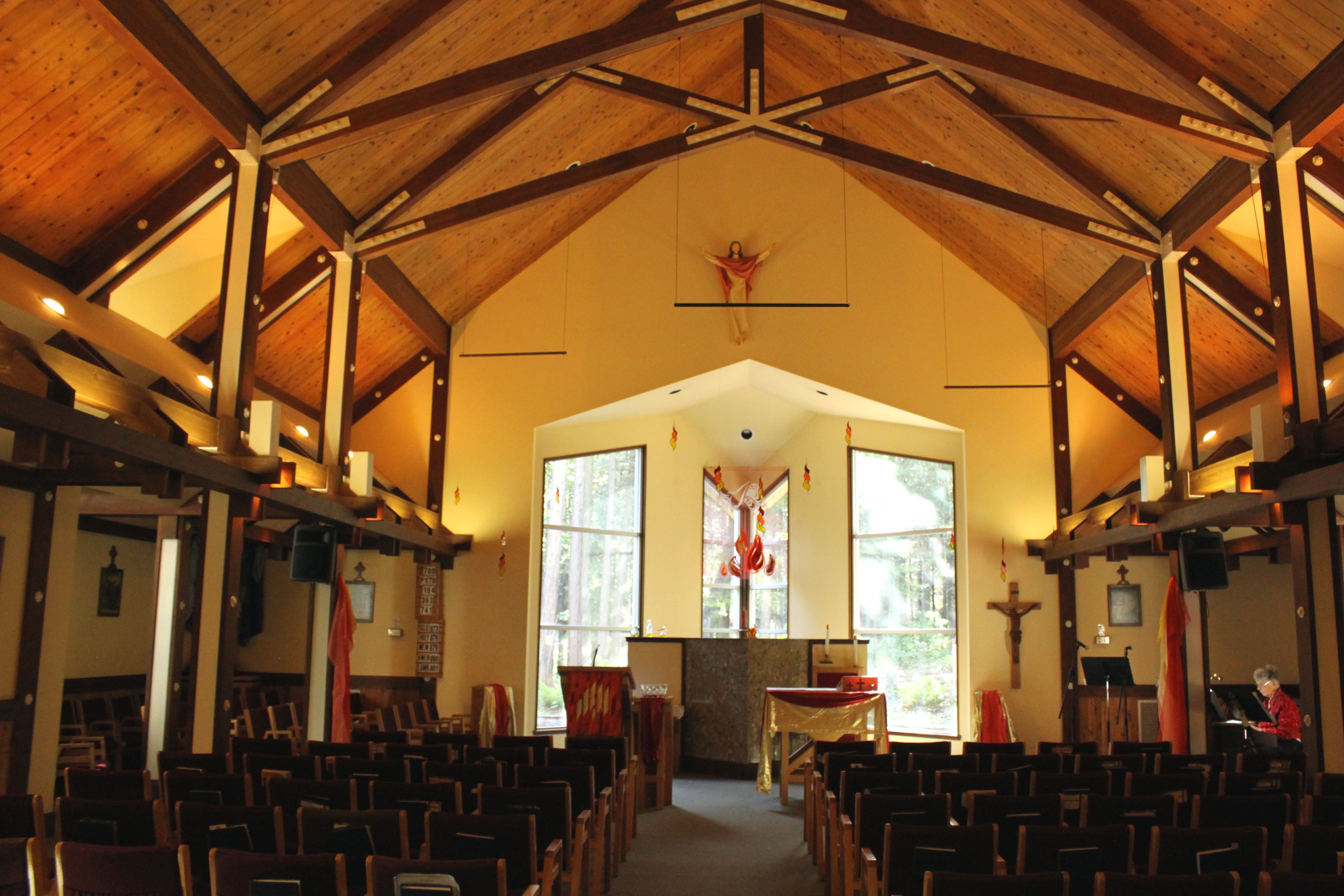
Our Lady of Mercy Parish
Under the Sundial

Sundial Bridge at Turtle Bay Exploration Park facing north view in Redding, California.

Interstate 5 Northbound Shasta Valley Freeway approaching Exit 681 - Twin View Blvd. 1/2 mile, Exit 682 - Oasis Road 1 1/2 miles and Exit 684 - Pine Grove Avenue 3 miles with this roadside sign located at Shasta County - Redding, California.

Interstate 5 Northbound Shasta Valley Freeway approaching Exit 681 - Twin View Blvd. exit 3/4 mile + Fuel, Lodging, Food Services exit ahead with this roadside sign located at Shasta County - Redding, California.

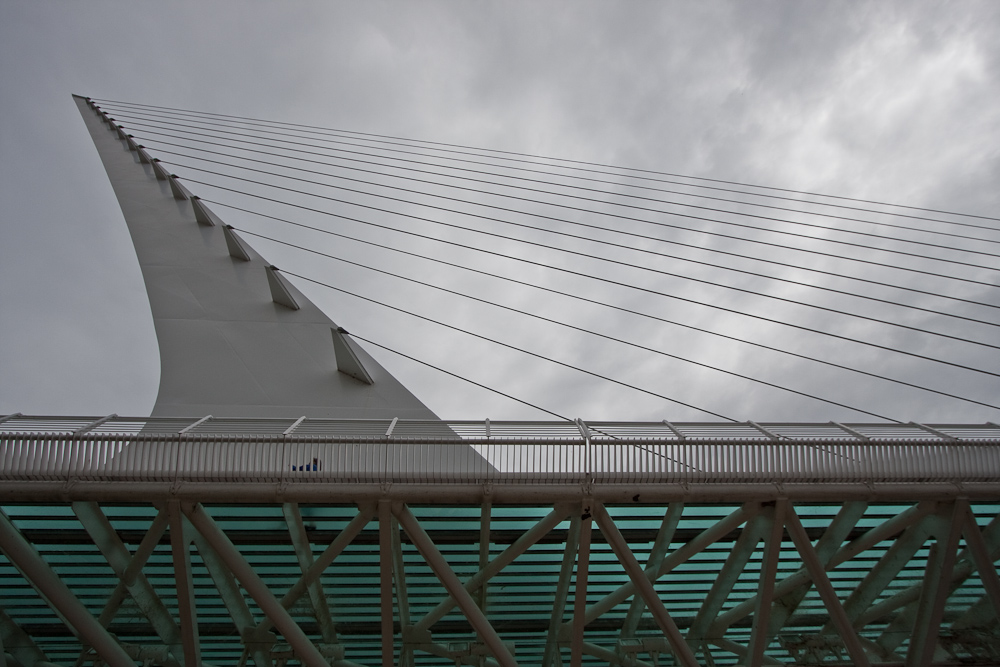
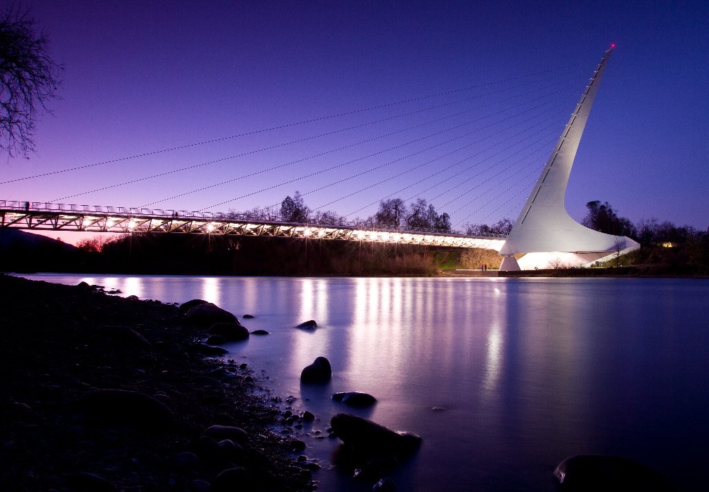
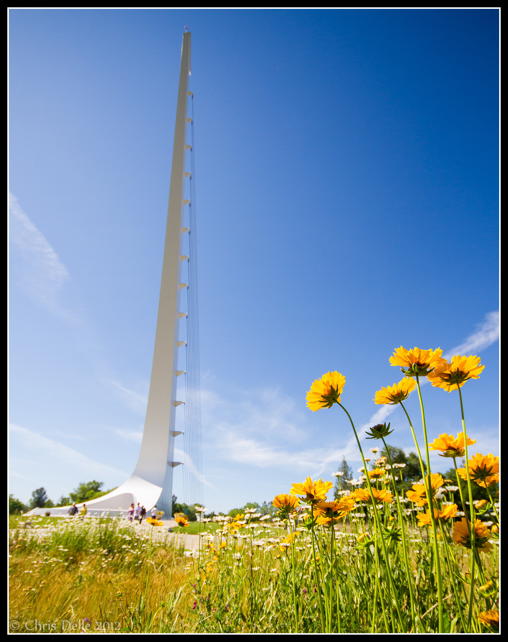
Calatrava's Sundial Bridge, Redding, California

View from the overflow. Who'd have though you wouldn't be able to find a seat at an 8.30am service. Love this place!

Changed hotels. Here's the view from the room - sunset on the Sacramento River. #roadtrip #redding #california #hotel #view #Sacramento #river #instagold #instagood #instagram #igdaily #igaddicts #ipodtouch #ipod

Sundial Bridge Lightning, The Sundial Bridge, Redding, CA

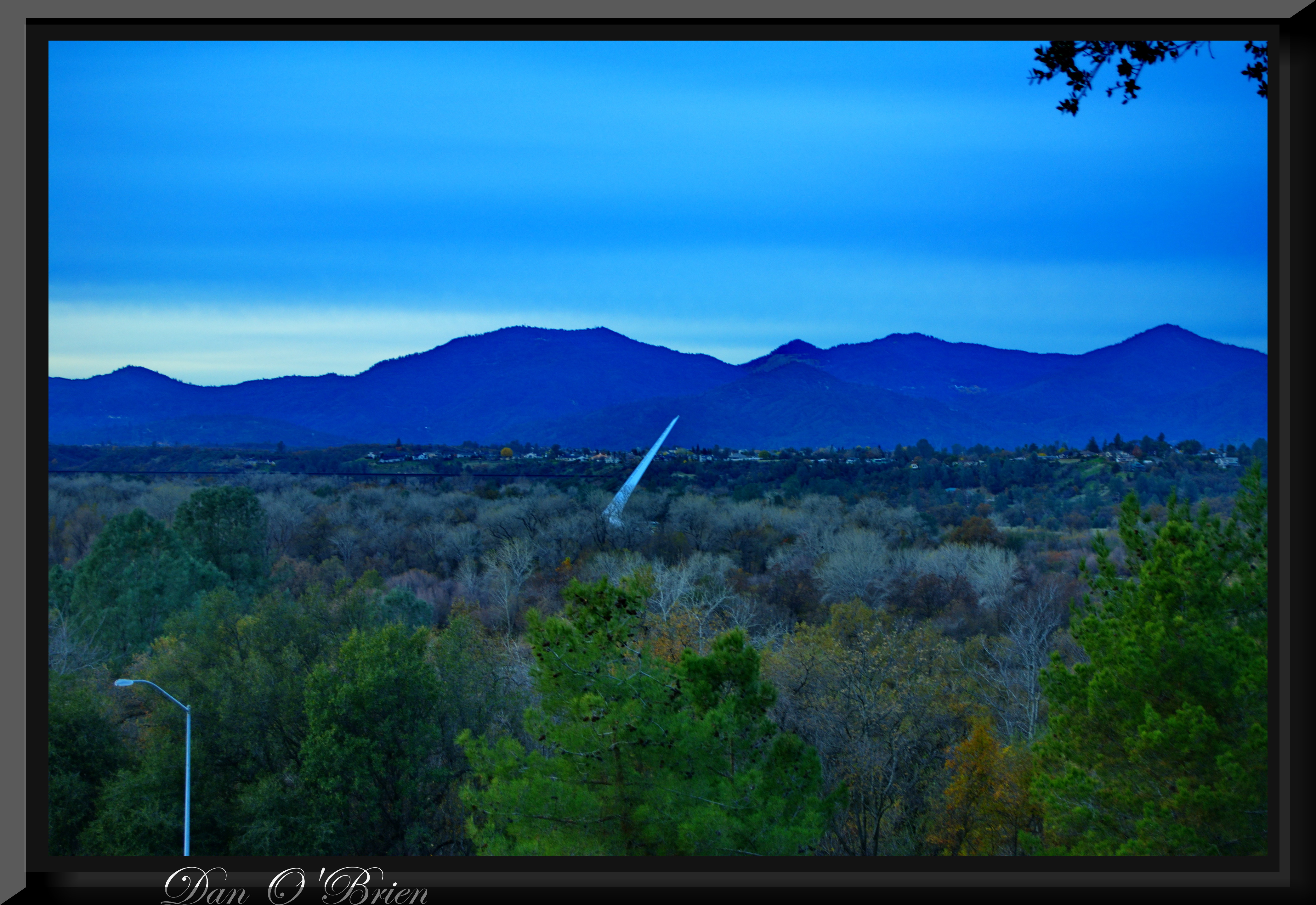
Sundial in Blue

Self Portrait - 3

View just now from the hotel room. #sunset #colorful #clouds #sky #evening #winter #redding #california #roadtrip #Creation #beauty #ipod #ipodtouch #igdaily #igaddicts #instagold #instagood #instagram
Morning View

Self Portrait - 2

Roberts_68 Sundial Bridge
Whatever it Takes
O'B (5)
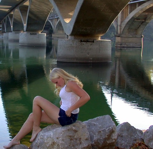
Girl By Bridges
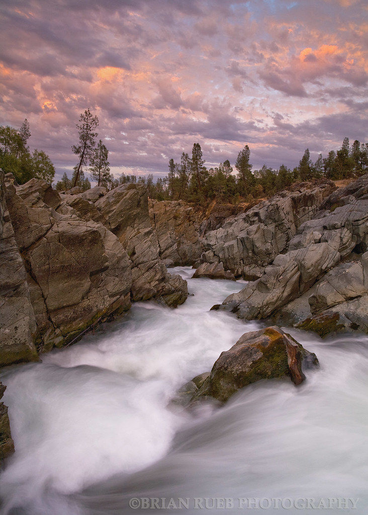
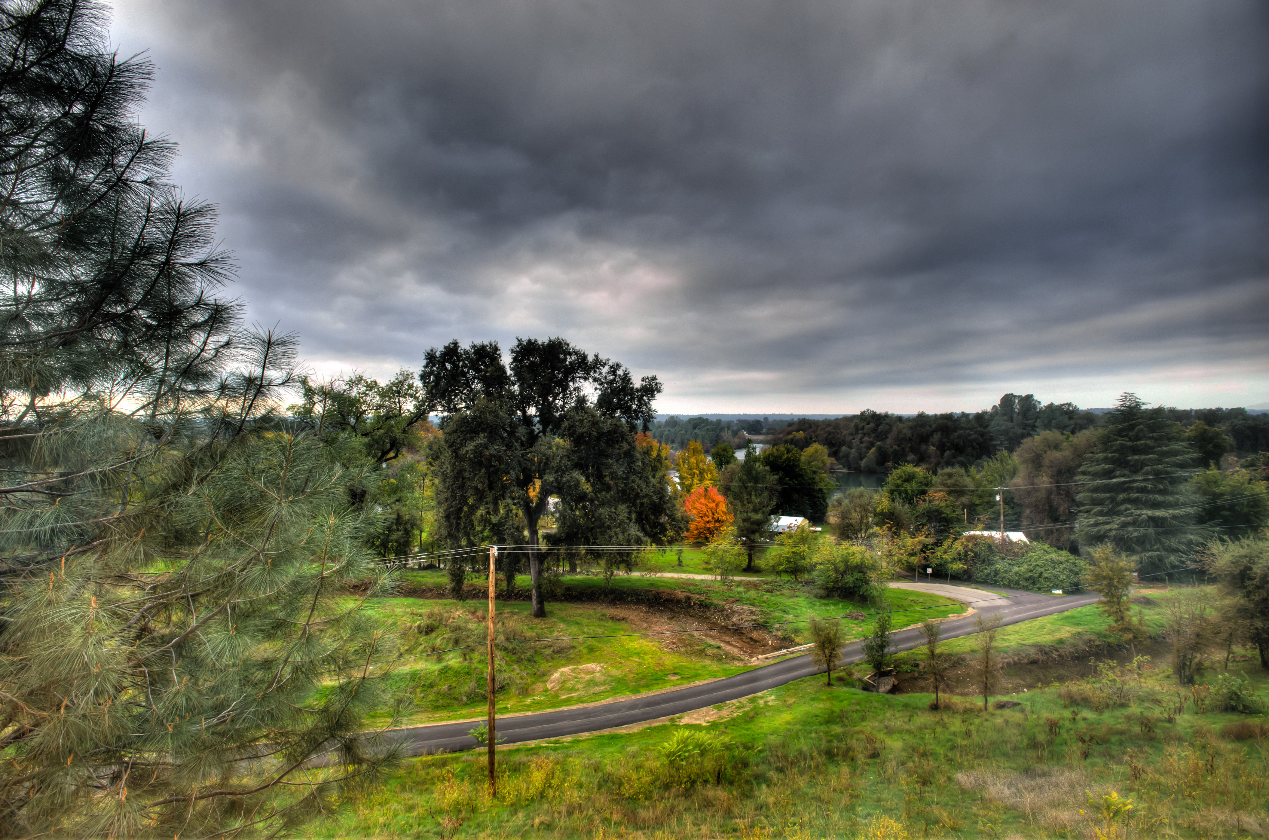
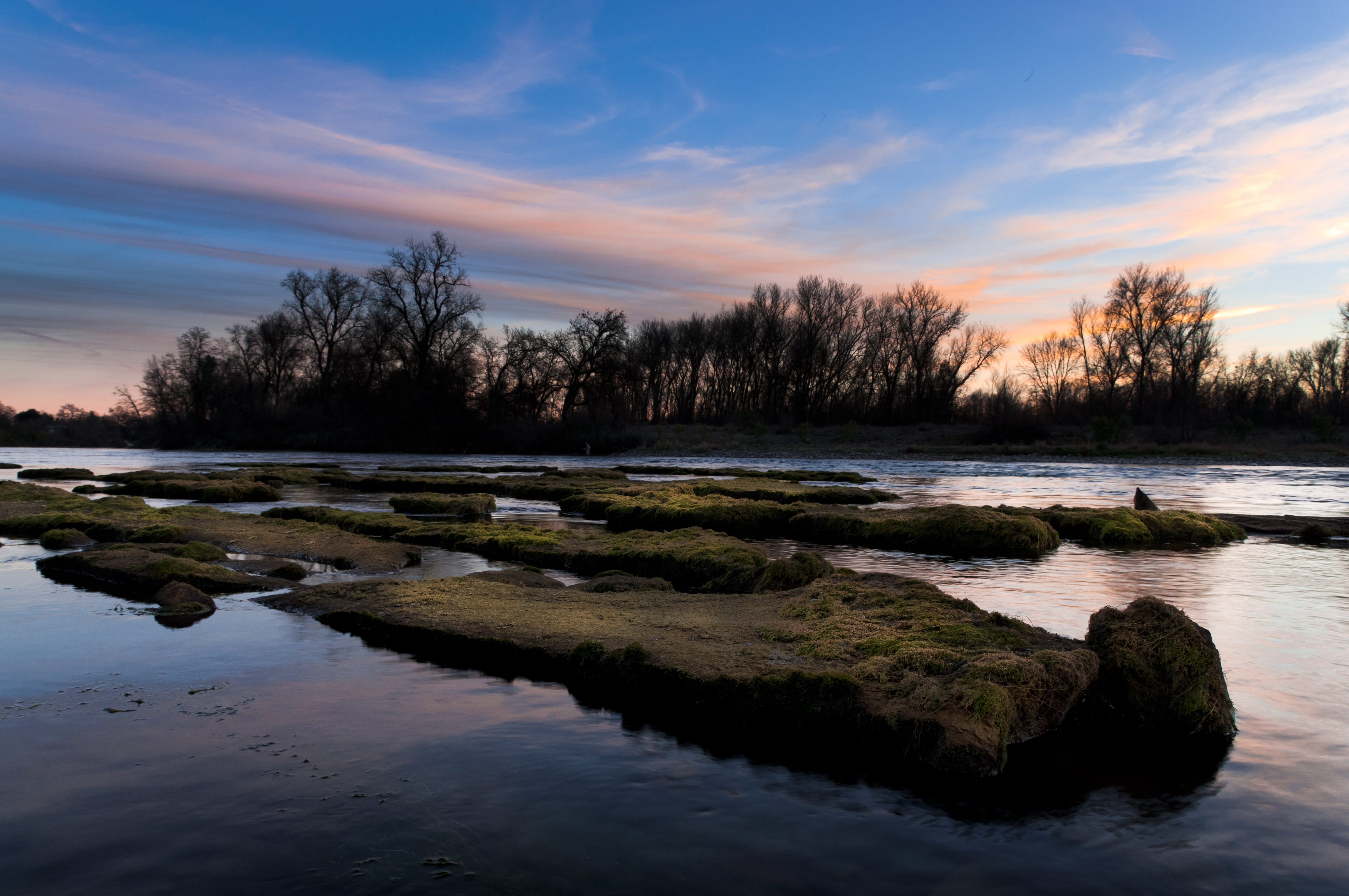
Clear Creek
Beautiful Ending
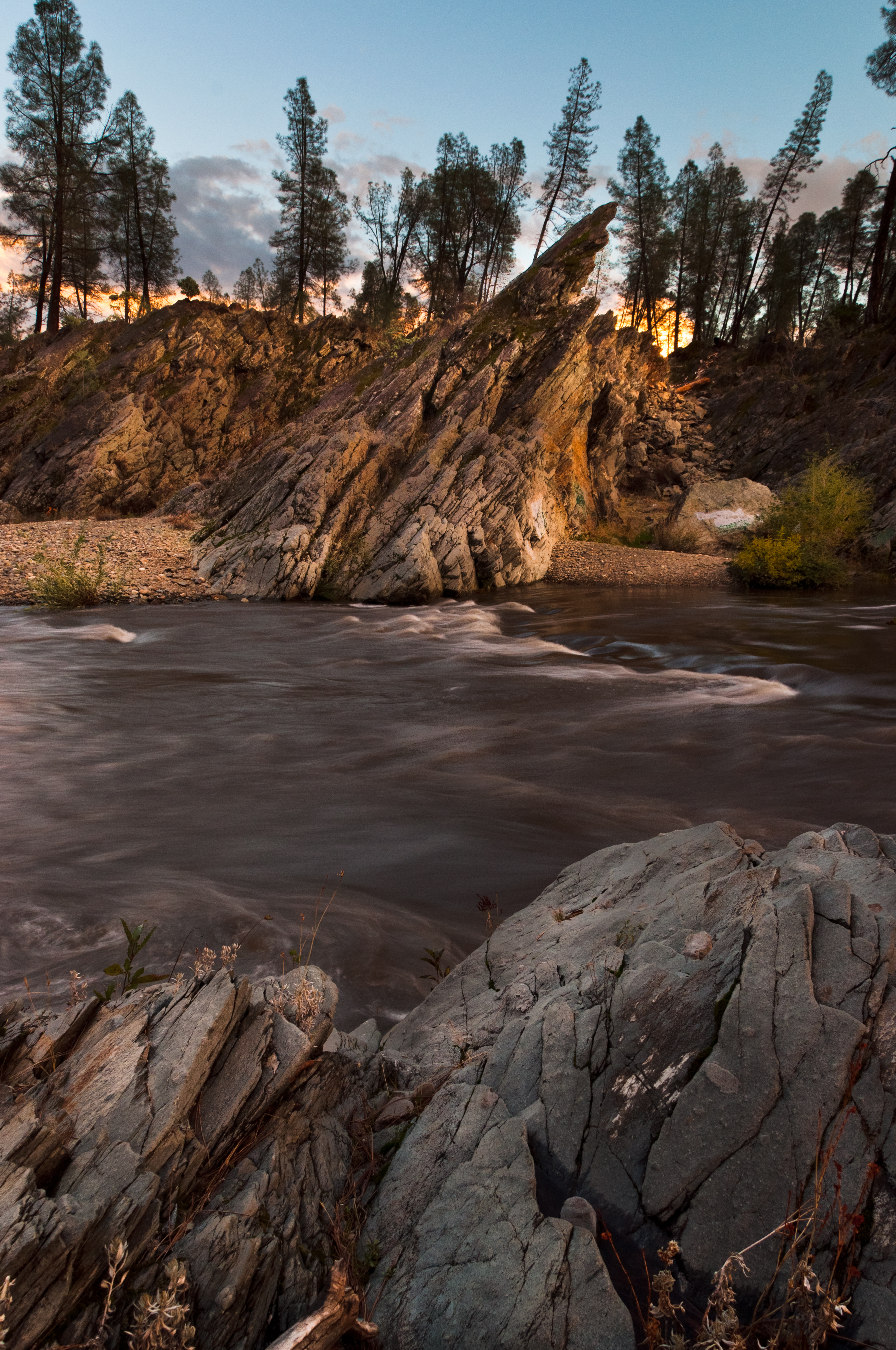
Clear Creek

A Path of Exploration and Learning - Turtle Bay Exploration Park - Redding, Shasta County, California
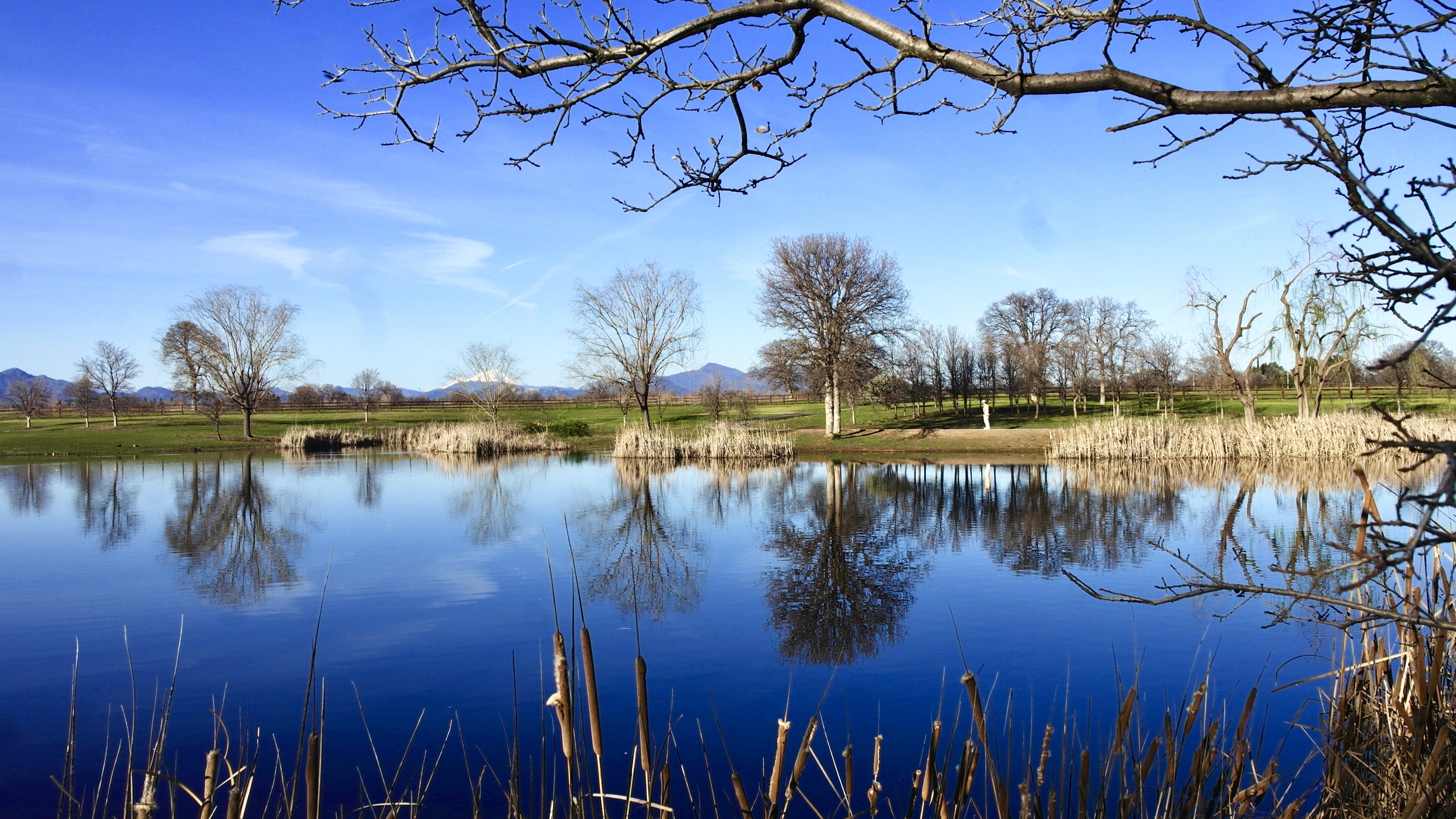
Park Lake
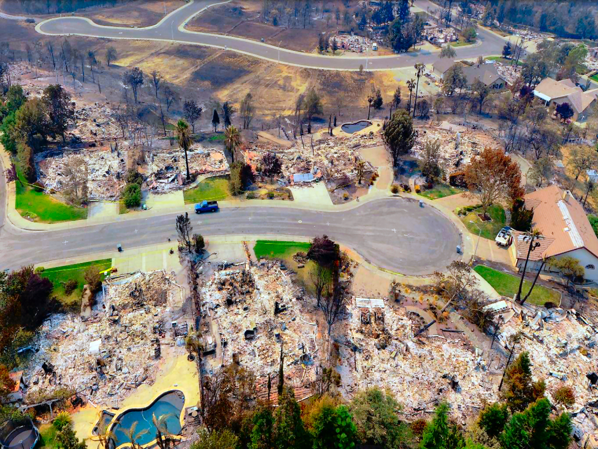
Carr-Fire-Redding-California-July-2018-06
Almost there
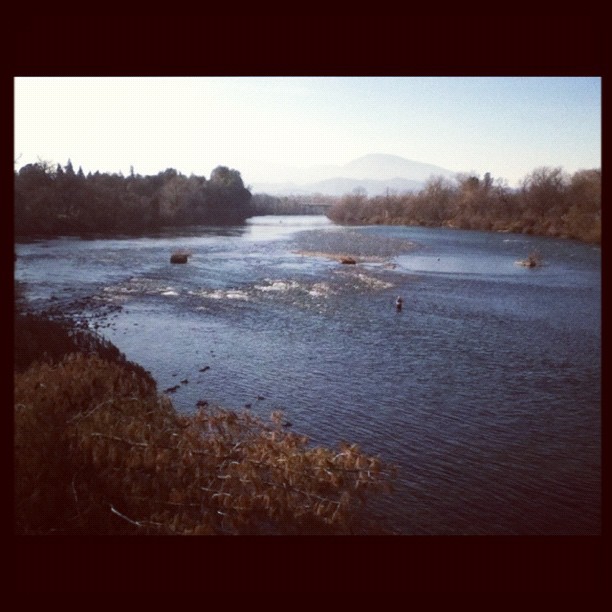
A man fly fishing in the Sacramento River. #sacramento #river #redding #california #roadtrip #sunny #blue #sky #fly #fishing #roadtrip #california #instagram #instagold #instagood #igaddicts #ipodtouch #igdaily #ipod

Sundial Bridge

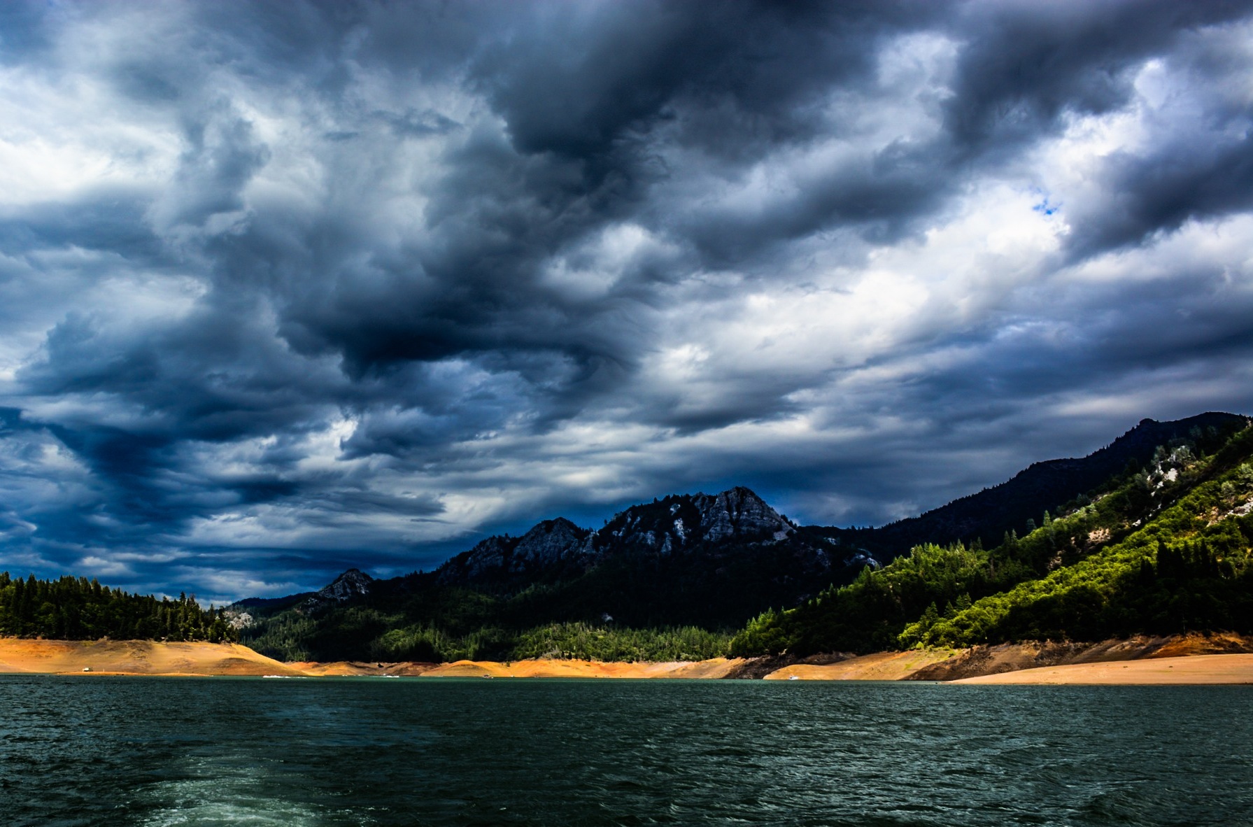
Mount Shasta
Random photography
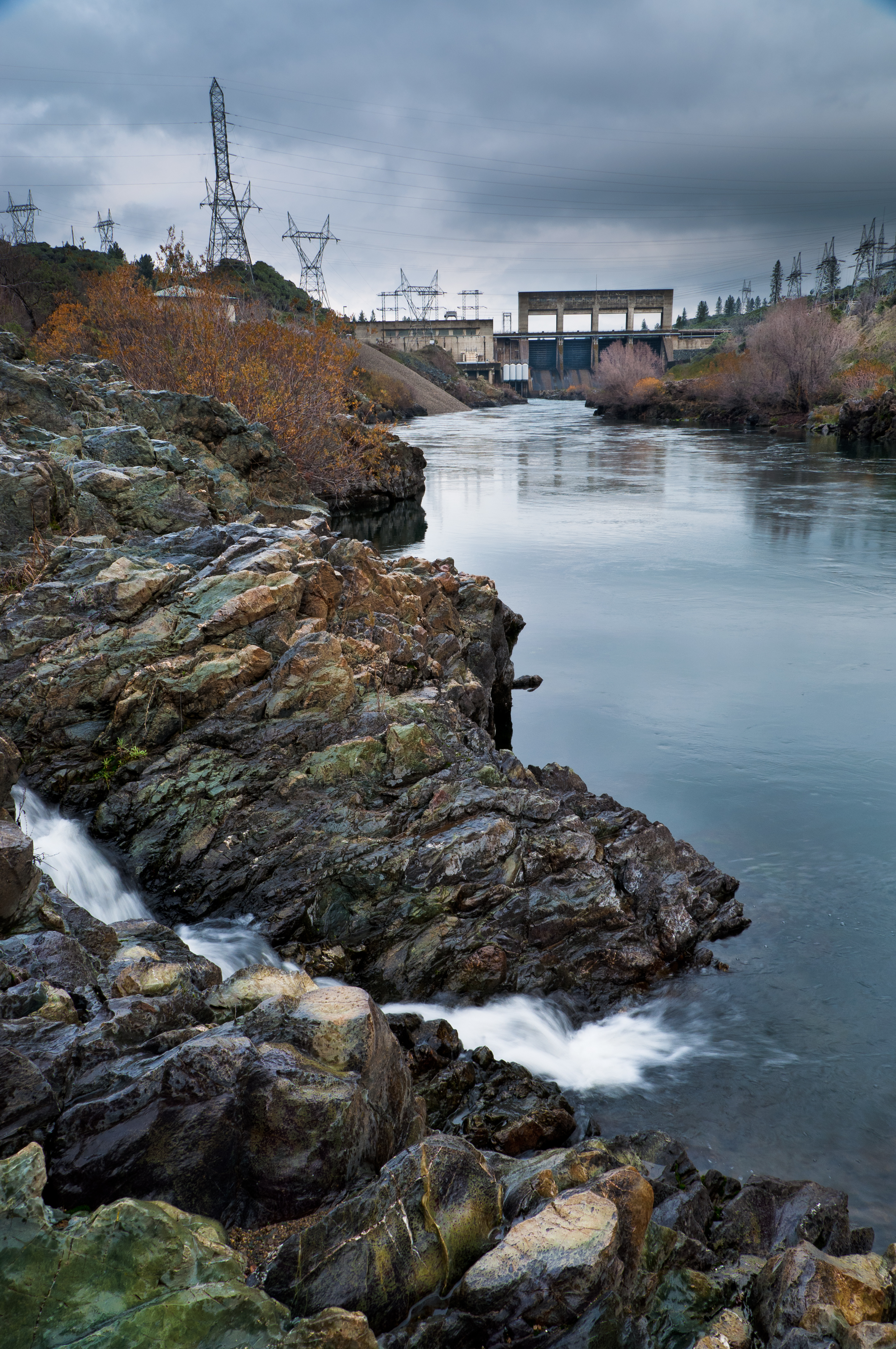
Keswick Dam
Flower Save the Hours
Mount Shasta
The Furrows
Sundial Bridge Redding Ca.
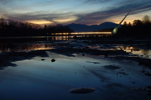
Sundial Bridge / Sacramento River
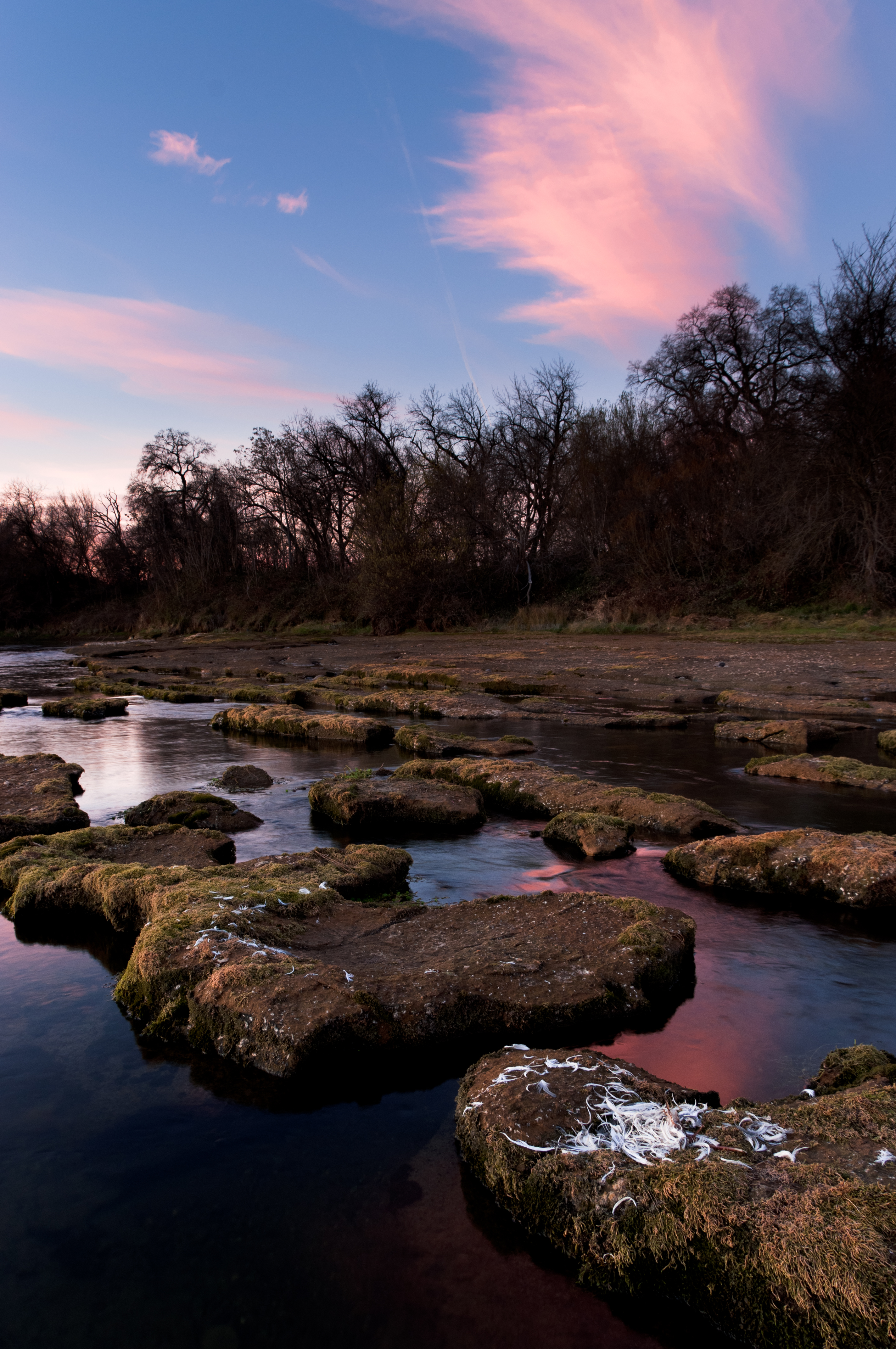
Sundial Spring

Devious Pines
Random photography
Topographic Map of Churn Creek Rd, Redding, CA, USA
Find elevation by address:

Places near Churn Creek Rd, Redding, CA, USA:
1599 Morningsun Dr
2518 Capella St
2028 Silverfield Loop
Parkside Manor
Woodhaven Homes
20122 Cindy Ln
2023 Marlene Ave
19483 Knighton Rd
7408 Pacheco School Rd
Fairway Avenue
2823 Robert Ct
9023 Madrone Way
Rare Air Trampoline Park
2000 Fancy Oaks Dr
6870 Riverland Dr
Heritage Oaks
2198 Darsha Ln
Rose Tree Lane
Pacheco
Johnny Place
Recent Searches:
- Elevation of Corso Fratelli Cairoli, 35, Macerata MC, Italy
- Elevation of Tallevast Rd, Sarasota, FL, USA
- Elevation of 4th St E, Sonoma, CA, USA
- Elevation of Black Hollow Rd, Pennsdale, PA, USA
- Elevation of Oakland Ave, Williamsport, PA, USA
- Elevation of Pedrógão Grande, Portugal
- Elevation of Klee Dr, Martinsburg, WV, USA
- Elevation of Via Roma, Pieranica CR, Italy
- Elevation of Tavkvetili Mountain, Georgia
- Elevation of Hartfords Bluff Cir, Mt Pleasant, SC, USA