Elevation of Dersch Road, Dersch Rd, Anderson, CA, USA
Location: United States > California > Tehama County > Anderson >
Longitude: -122.15941
Latitude: 40.484067
Elevation: 164m / 538feet
Barometric Pressure: 99KPa
Elevation Map:
Satellite Map:
Related Photos:

Roberts_12 Fountain

Redding, CA OES Fire Engine 329 for Shasta County

Together Again
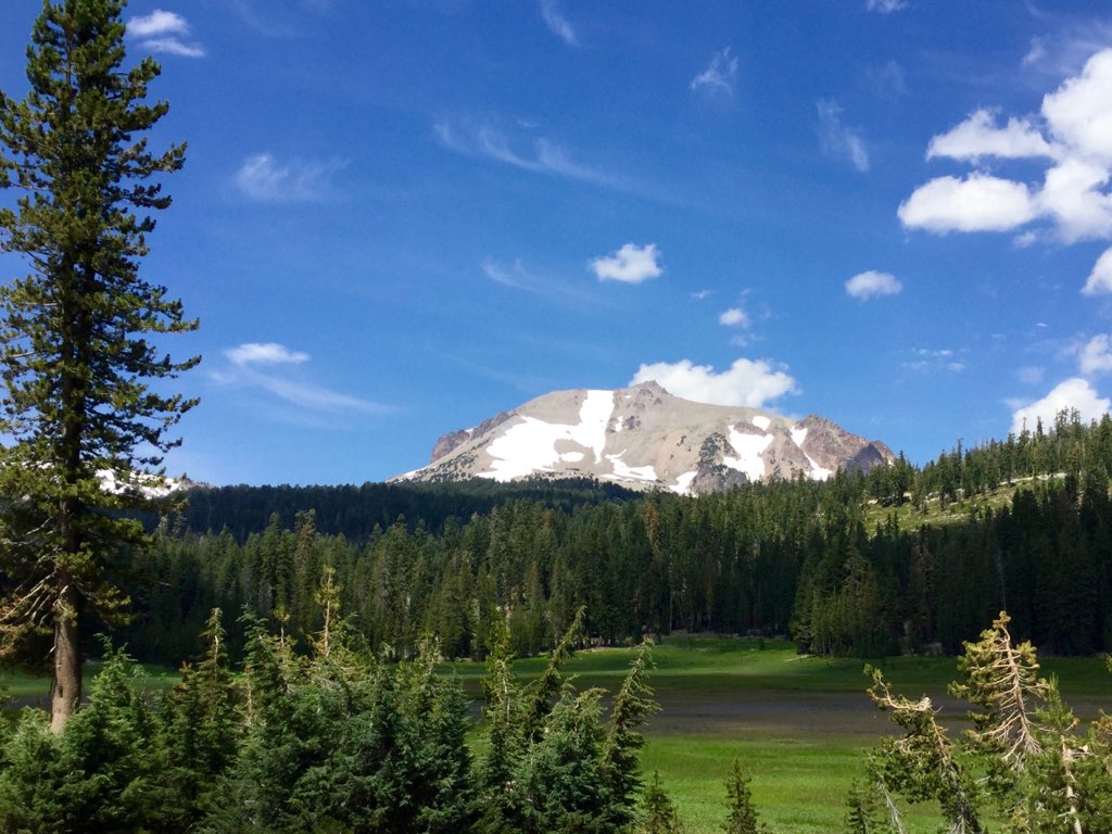
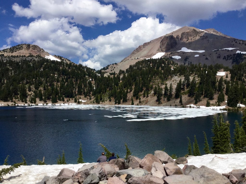
Roberts_80 Lassen Peak

Roberts_75 Summit Lake

RDD/KRDD Redding Municipal Airport

Redding, CA Calfire Engine 2479

View of mom's house as I left. #theknottyknitter
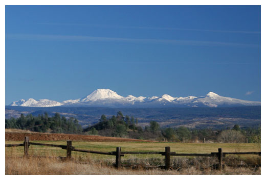
Mt. Lassen

View of the berry patch

Another berry patch view
The Furrows
Beautiful Ending
Anderson Aquaduct_03
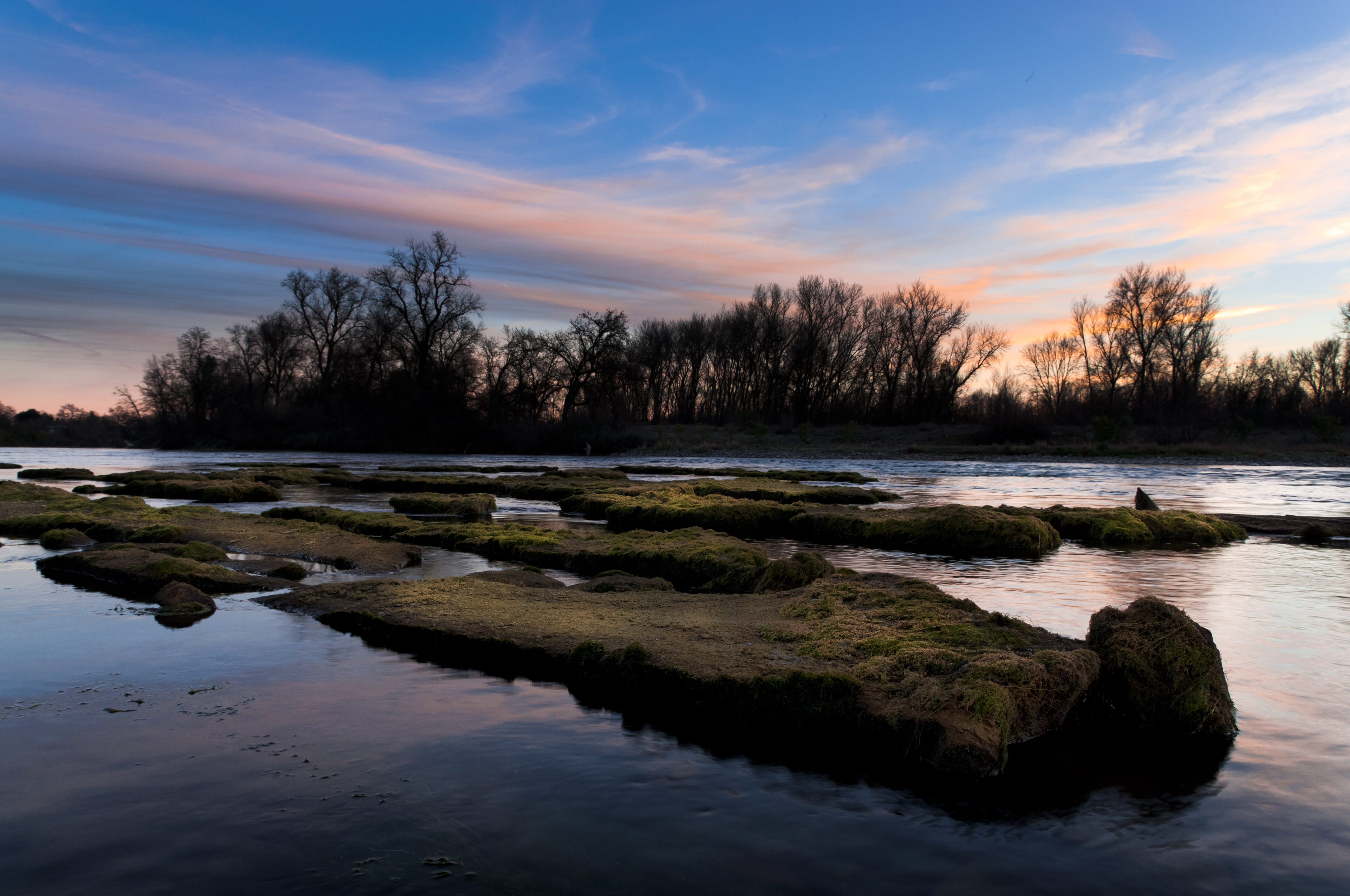
Sacramento Valley (Endless Hope)

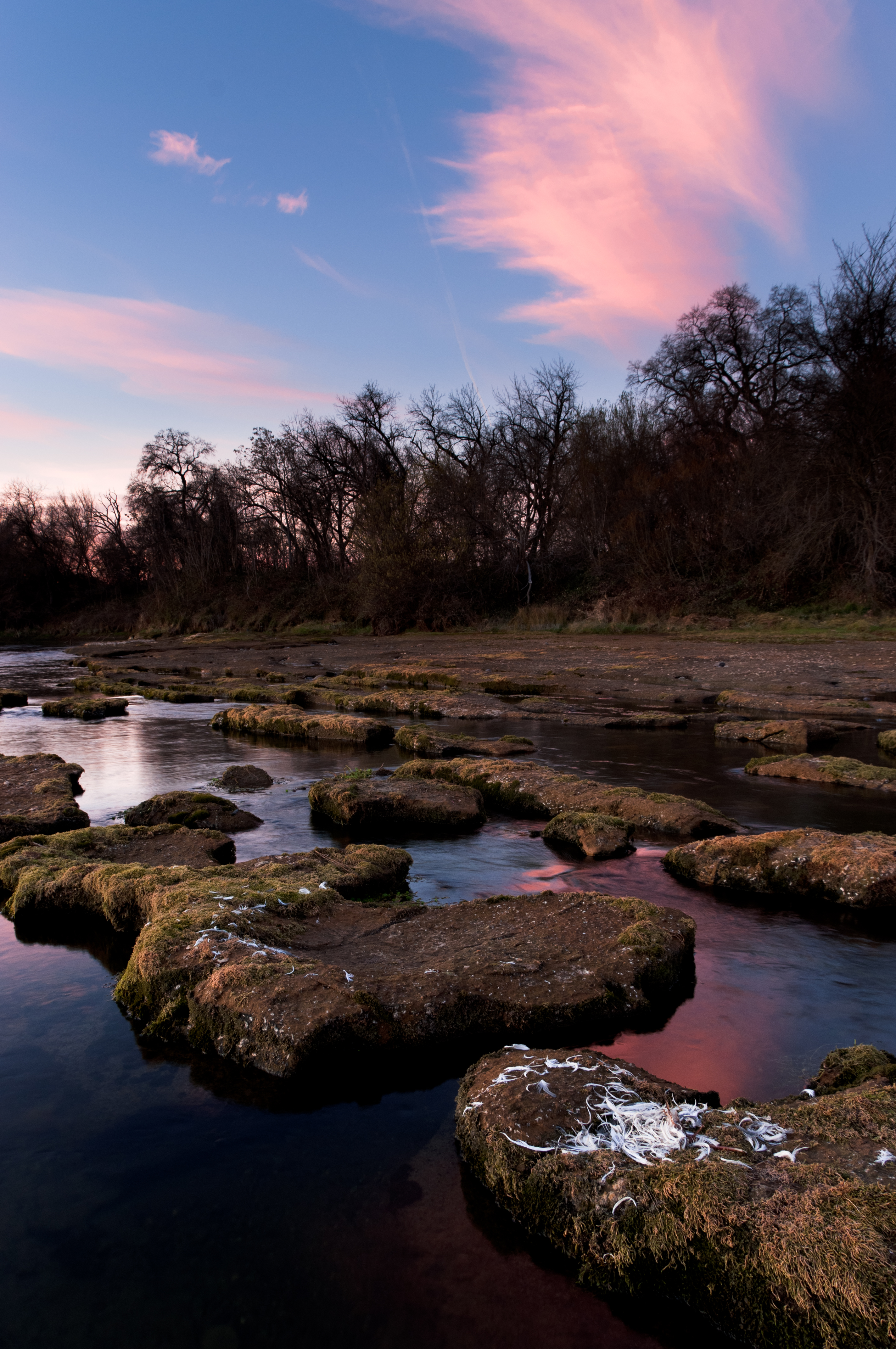
Barge Hole (Red Bloom)

Eastern Tailed Blue (Everes comyntas)

Black Spreadwing

Break Open the Sky
Looking West in Redding
Burney falls

Spotted Spreadwing

ANDERSON'S WINTER PASTURE
Pleasant Day Clouds
A man fly fishing in the Sacramento River. #sacramento #river #redding #california #roadtrip #sunny #blue #sky #fly #fishing #roadtrip #california #instagram #instagold #instagood #igaddicts #ipodtouch #igdaily #ipod
All Photos-2631
Montague 2012

2017-11-12 06.46.24 1
Roberts_81 Helen Lake

All Photos-2658
Anderson River Park_10

Historic Hawes Farms
Topographic Map of Dersch Road, Dersch Rd, Anderson, CA, USA
Find elevation by address:

Places near Dersch Road, Dersch Rd, Anderson, CA, USA:
23646 Impala Dr
25100 Ca-44
Whitmore Rd, Millville, CA, USA
25650 Cherith Brook Drive
7891 Silver Bridge Rd
23681 Old 44 Dr
23590 Old 44 Dr
26100 Ca-44
21780 Los Altos Dr
Millville
10202 Oak Run Rd
Dersch Road
27019 Dersch Rd
Palo Cedro
Deschutes Rd, Palo Cedro, CA, USA
10624 Oak Run Rd
25150 Ca-44
27202 Lack Creek Dr
9308 Redtail Ln
22141 Los Robles Dr
Recent Searches:
- Elevation of Corso Fratelli Cairoli, 35, Macerata MC, Italy
- Elevation of Tallevast Rd, Sarasota, FL, USA
- Elevation of 4th St E, Sonoma, CA, USA
- Elevation of Black Hollow Rd, Pennsdale, PA, USA
- Elevation of Oakland Ave, Williamsport, PA, USA
- Elevation of Pedrógão Grande, Portugal
- Elevation of Klee Dr, Martinsburg, WV, USA
- Elevation of Via Roma, Pieranica CR, Italy
- Elevation of Tavkvetili Mountain, Georgia
- Elevation of Hartfords Bluff Cir, Mt Pleasant, SC, USA