Elevation of Gover Rd, Anderson, CA, USA
Location: United States > California > Tehama County > Anderson >
Longitude: -122.17914
Latitude: 40.369214
Elevation: 109m / 358feet
Barometric Pressure: 100KPa
Elevation Map:
Satellite Map:
Related Photos:
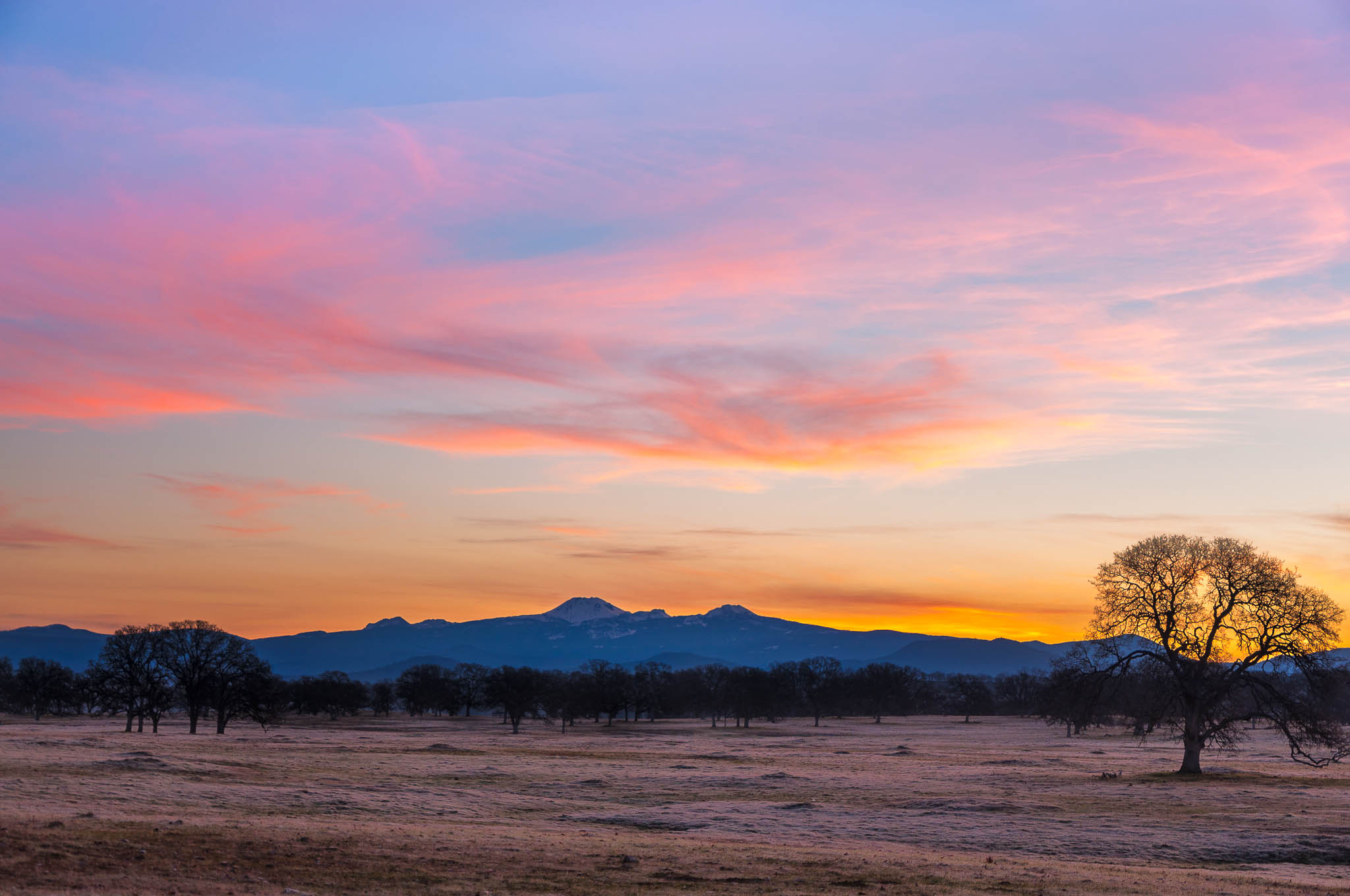
Oh yeah! (Mt. Lassen Sunrise)
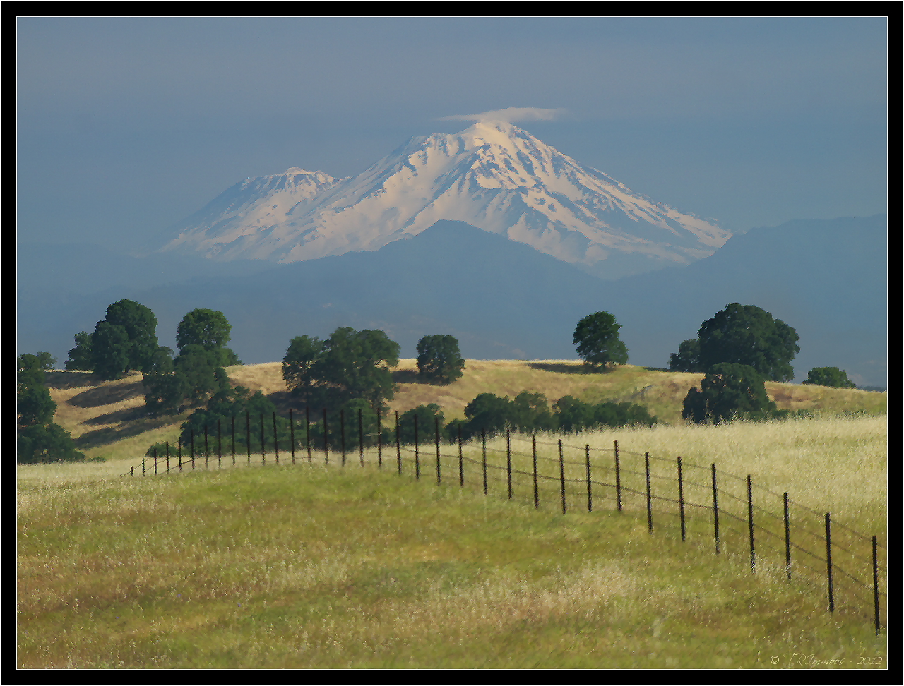
Mount Shasta - A Telephoto Landscape

View of mom's house as I left. #theknottyknitter

Together Again

Iron Canyon Loop
Strip [4]

Peace on the lake

Bareback on Judd

Interstate 5 Northbound Tehama Valley Freeway approaching Exit 653 - Jells Ferry Road 1 mile with this roadside sign located at Tehama County - South Cottonwood, California. Wildlife Viewing, R.V. Camping and Boat Dock Unloading at the lake exit ahead.

Walnut Orchard

View of the berry patch

Another berry patch view

Sacramento River (Livin' on the Edge)

Sacramento River (His Glory)

Coyote Pond - A New Breathe
Anderson Aquaduct_03

Leaving Lassen
Anderson Aquaduct_07

Spotted Spreadwing
Parkville Br

Sacramento River (His Glory)
Iron Canyon Trail
golden meadow

Lone.

Oak Slough
hog-lake-pano-west

Sacramento River (Dreaming in Vertical)

Corn field
Perry Riffle
San Francisco 2011
OZ (4)
Topographic Map of Gover Rd, Anderson, CA, USA
Find elevation by address:

Places near Gover Rd, Anderson, CA, USA:
22687 River View Dr
22481 Cloud Creek Pl
18957 Ketch Pl
Balls Ferry Road
Cottonwood Creek Charter School
Cottonwood
Cottonwood Community Library
22495 Vía Pasado
3614 Park Dr
Bend
15965 E Wallen Rd
Dersch Road
Lyn Ellen Drive
Brent Rd, Red Bluff, CA, USA
Frantz Drive
CA-36, Red Bluff, CA, USA
Penner Drive
20282 Domaine Pl
23646 Impala Dr
Anderson
Recent Searches:
- Elevation of Corso Fratelli Cairoli, 35, Macerata MC, Italy
- Elevation of Tallevast Rd, Sarasota, FL, USA
- Elevation of 4th St E, Sonoma, CA, USA
- Elevation of Black Hollow Rd, Pennsdale, PA, USA
- Elevation of Oakland Ave, Williamsport, PA, USA
- Elevation of Pedrógão Grande, Portugal
- Elevation of Klee Dr, Martinsburg, WV, USA
- Elevation of Via Roma, Pieranica CR, Italy
- Elevation of Tavkvetili Mountain, Georgia
- Elevation of Hartfords Bluff Cir, Mt Pleasant, SC, USA