Elevation of Cottonwood Community Library, Main St, Cottonwood, CA, USA
Location: United States > California > Shasta County > Cottonwood >

Longitude: -122.28058

Latitude: 40.3873868

Elevation: 134m / 440feet

Barometric Pressure: 100KPa

Elevation Map:

elevation map of Cottonwood Community Library, Main St, Cottonwood, CA, USA

Satellite Map:

Satellite map of Cottonwood Community Library, Main St, Cottonwood, CA, USA
Related Photos:

california lighting morning trees mountain sunshine landscape volcano oak i5 scenic landmark olympus hills shasta e3 70300mm daytrip centralvalley circularpolarizer siskiyoucounty shastacounty californialandscape zd shastina zuikodigital telephotolandscape tehamacounty olympuse3
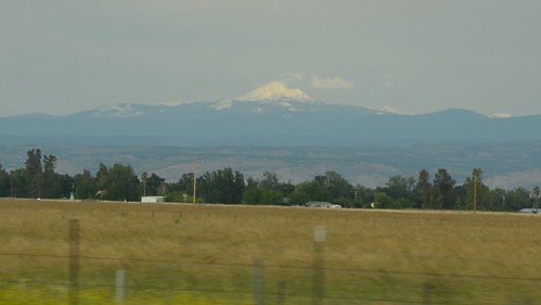
Mount Shasta - A Telephoto Landscape
california sunrise landscape unitedstates oaktrees redbluff lassenpeak tehamacounty jellysferryroad
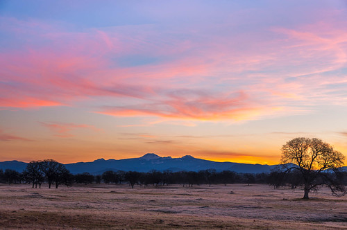
Oh yeah! (Mt. Lassen Sunrise)
california sunset panorama moon lake snow mountains america unitedstates cottonwood canon7d tripodm lakeofcalifornia antonioesposito
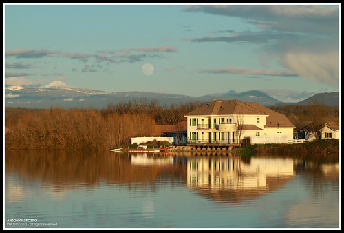
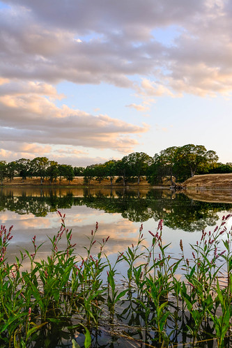
Peace on the lake
Redding, CA Calfire Engine 2479
california green grass kyle cottonwood irony lakecalifornia extrairony supertotallyawesome
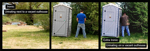
Strip [4]
Redding, CA OES Fire Engine 329 for Shasta County
california ca flickr obrien cottonwood northern rd bowman according obd80
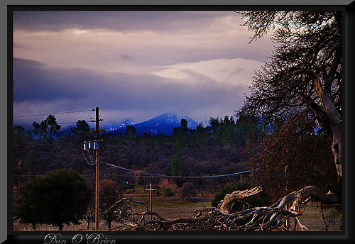
OZ (2)
square squareformat hudson iphoneography instagramapp uploaded:by=instagram theknottyknitters theknottyknitter theknotyknitter knottyknitter
View of mom's house as I left. #theknottyknitter
ca raw cottonwood safehaven horserescue nikond80 70300mmf456afg
Bareback on Judd
Interstate 5 Northbound Tehama Valley Freeway approaching Exit 653 - Jells Ferry Road 1 mile with this roadside sign located at Tehama County - South Cottonwood, California. Wildlife Viewing, R.V. Camping and Boat Dock Unloading at the lake exit ahead.
show evan west club night john demo star team julie republic force martin air united ace canadian airshow f16 ii clark falcon static shooting hornet eddie states thunderbirds fighting trojan maker lockheed usaf redding exchange fairchild forces texan warthog t6 stearman a10 wolfe thunderbolt cf18 t33 t28 2011 andreini collver
USAF Thunderbirds @ Redding
halloween train farm pumpkins historic haunted produce pumpkinpatch cornmaze hawes shastacounty agritourism andersoncalifornia hawesfarms historichawesfarms
Walnut Orchard
Redding, CA OES Fire Engine 329 for Shasta County
Redding, CA USFS Patrol 71
Another berry patch view
cfigr
C-FIGR at Redding, CA KAMOV KA-32
california northerncalifornia redding
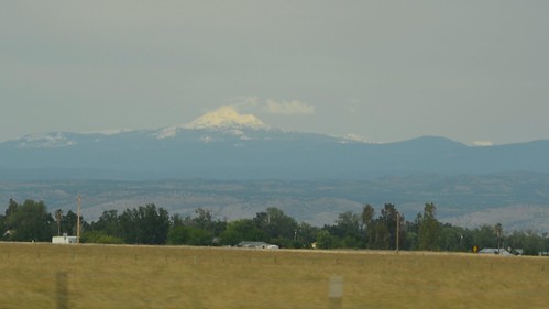
Mount Lassen
View of the berry patch
california people love couple tripod selportrait canoneos7d antonioesposito
Together Again
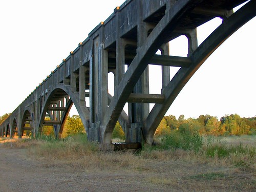
california ca bridge 2002 landscape geotagged nikon aqueduct anderson e995 dcsaint
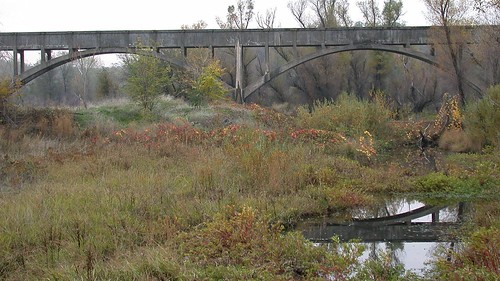
Anderson Aquaduct_03
Oak Slough
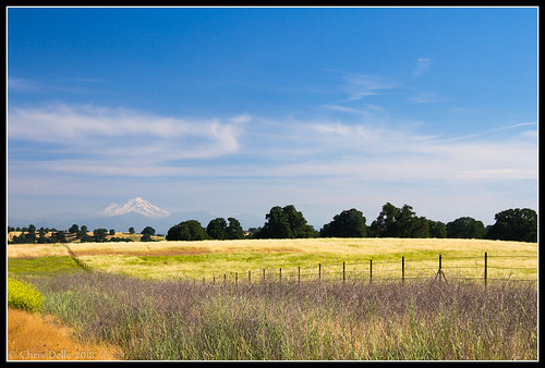
california mountain canon landscape unitedstates 7d mountshasta fenceline
On the Road to Mt. Shasta
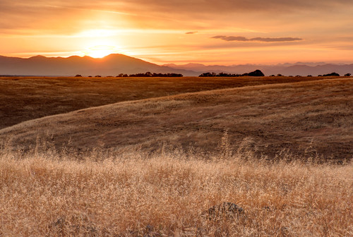
california sunset grass landscape unitedstates anderson pasture rollinghills trinityalps sacramentovalley shastabally
Sacramento Valley (Endless Hope)
bearck
Parkville Br
california sunset unitedstates redbluff coyotepond
Coyote Pond - A New Breathe
california field i5 roadtrip hills nikkor18200mmvrii phongho
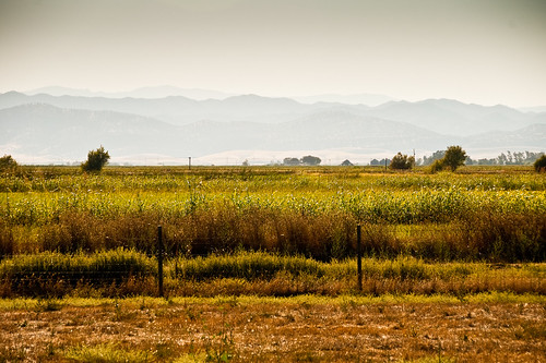
golden meadow
california blue trees sky nature landscape bright blm g9 genine powershotg9
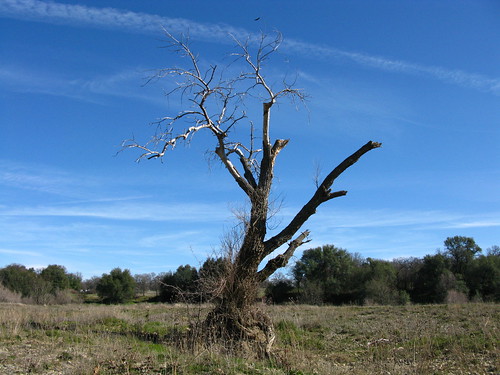
Lone.
halloween train farm pumpkins historic haunted produce pumpkinpatch cornmaze hawes shastacounty agritourism andersoncalifornia hawesfarms historichawesfarms
Corn field
halloween train farm pumpkins historic haunted produce pumpkinpatch cornmaze hawes shastacounty agritourism andersoncalifornia hawesfarms historichawesfarms
Greg Hawes
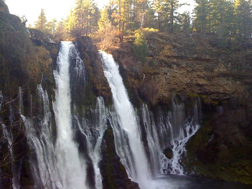
Burney falls
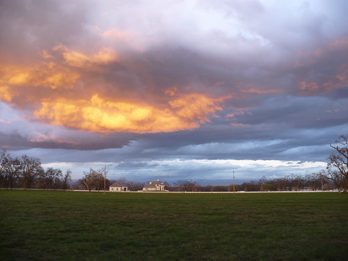
storm day
Passing storm
family tractor halloween train farm pumpkins historic haunted produce pumpkinpatch cornmaze hawes shastacounty agritourism andersoncalifornia hawesfarms hayfarming historichawesfarms
Historic Hawes Farms
california ca 2001 bridge landscape nikon aqueduct anderson e995 dcsaint
Anderson Aquaduct_07
afsdxvrzoomnikkor1685mmf3556ged
San Francisco 2011
halloween train farm pumpkins historic haunted produce pumpkinpatch cornmaze hawes shastacounty agritourism andersoncalifornia hawesfarms historichawesfarms
Greg Hawes
afsdxvrzoomnikkor1685mmf3556ged
San Francisco 2011
beautiful northerncalifornia clouds river peaceful anderson serenity serene norcal beautifulclouds sacramentoriver mountlassen peaceofmind shastacounty northstate highclouds pristinewaters
A Wispy River Tale
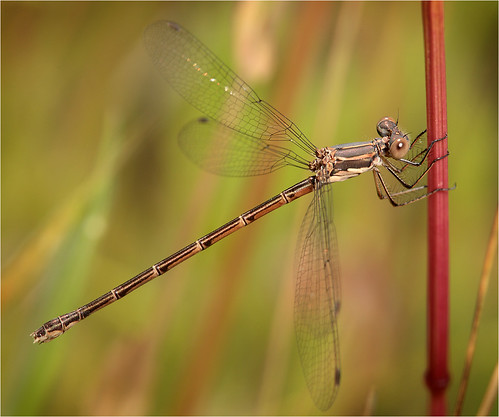
Spotted Spreadwing