Elevation map of Almora, Uttarakhand, India
Location: India > Uttarakhand >
Longitude: 79.2902133
Latitude: 29.8150205
Elevation: 1041m / 3415feet
Barometric Pressure: 89KPa
Elevation Map:
Satellite Map:
Related Photos:
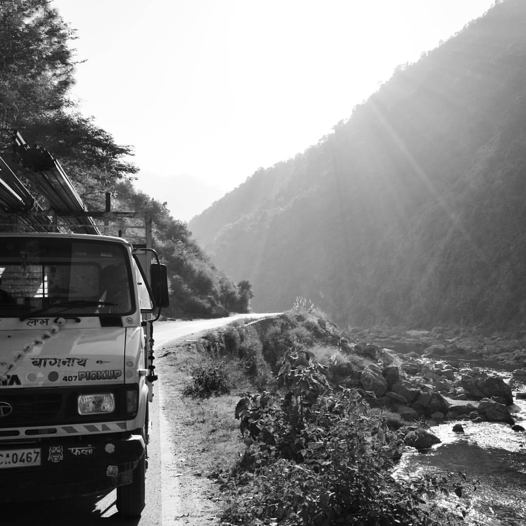
It's a long road but it's worth it! Nikon D5200 f/9.0 18mm 1/320 ISO100 #uttrakhand #almora #ranikhet #nainital #roadtrip #nikond5200
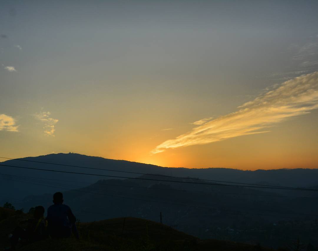
Sunset is Still my Favorite Color. Nikon D5200 f/9.0 27mm 1/320 ISO100 #sunset #almora #uttrakhand #incredibleindia #heaven #beautiful #landscape #evening
Rashiya Mahadev, Patti Khatli, Pauri Garhwal, Uttrakhand,

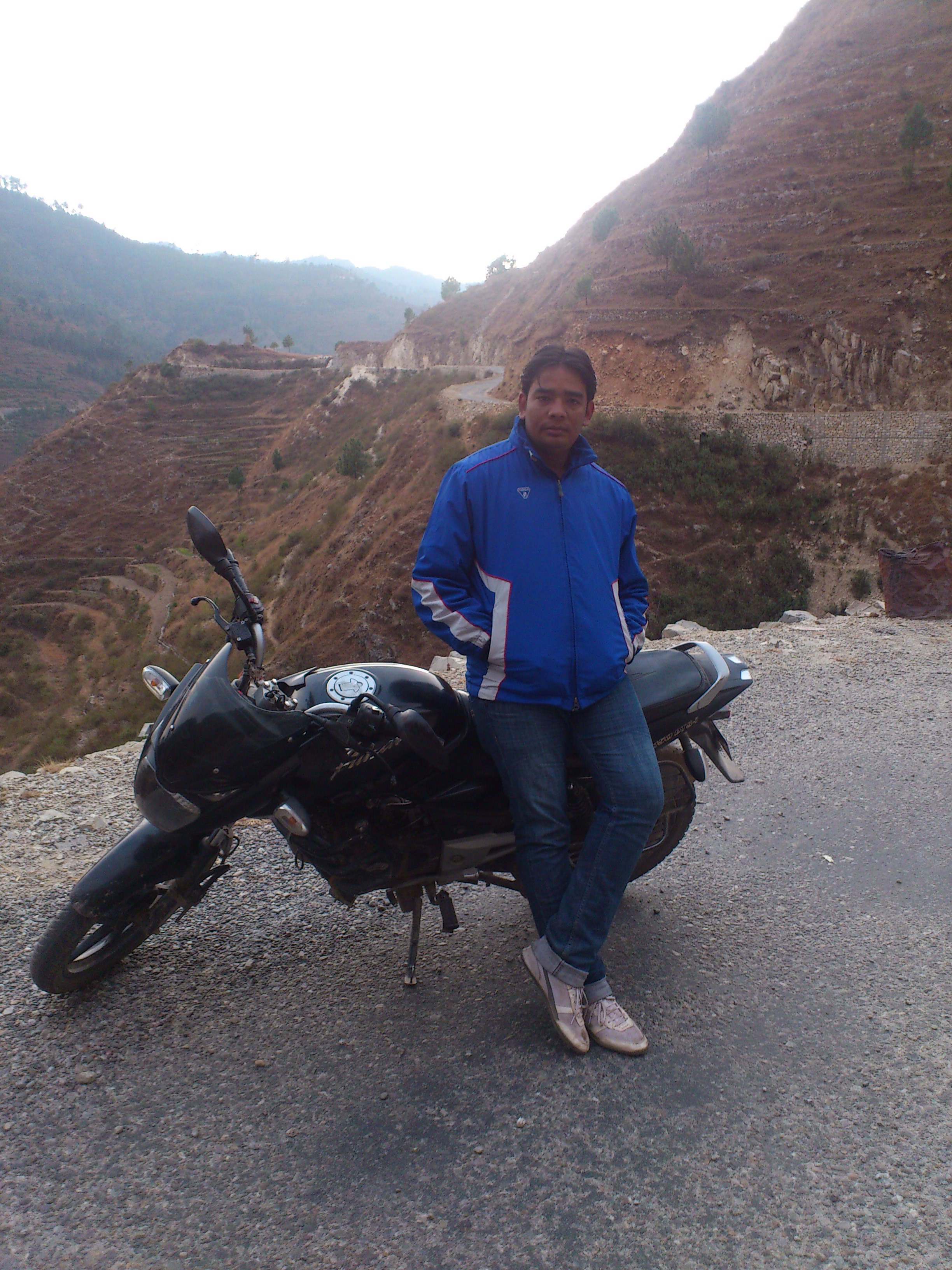
my first potrait upload..
Mr Lonely
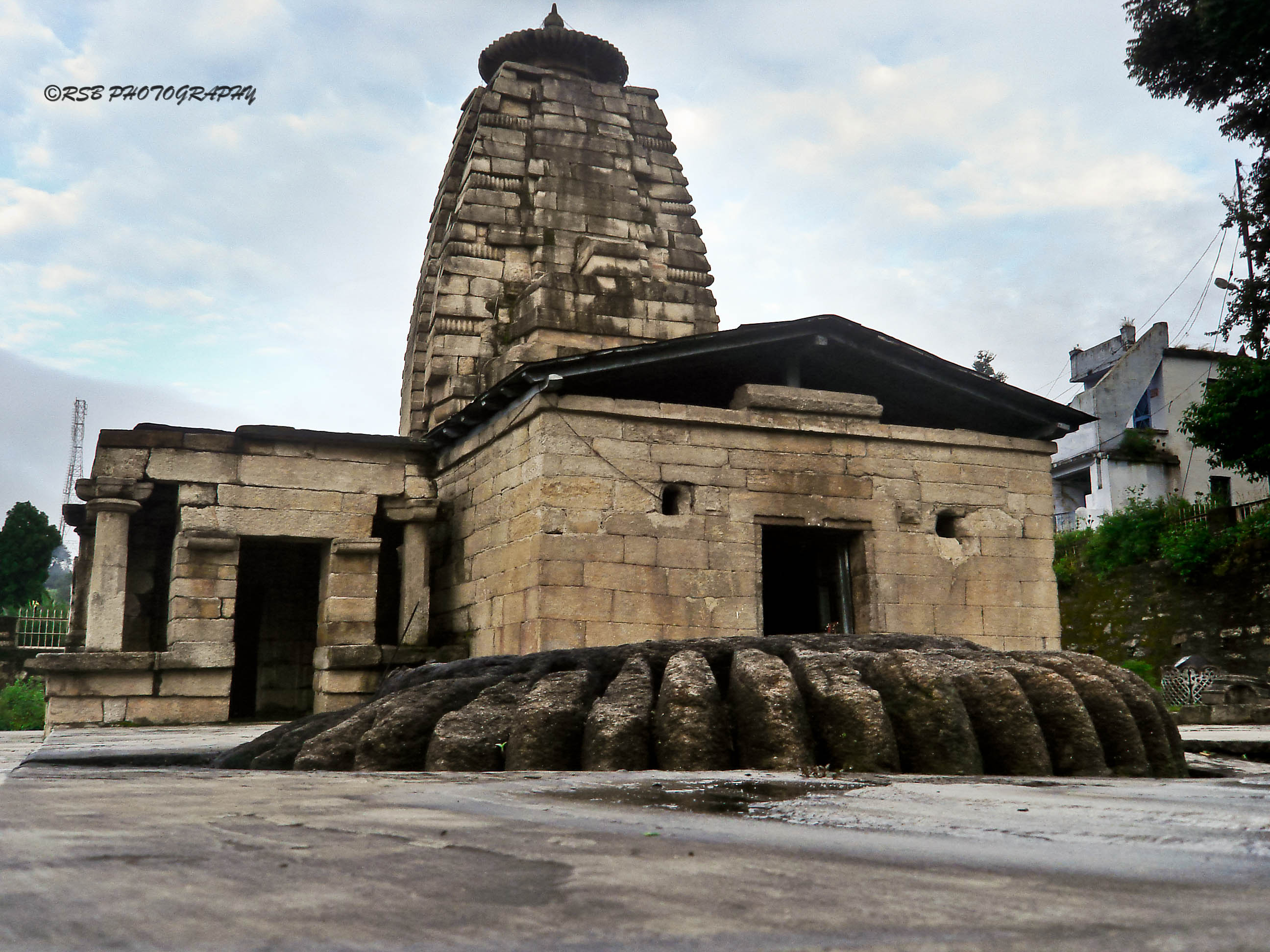
MRITUNJAYA GROUP OF TEMPLES - DWARAHAT

The Web n Water

The Rusty Wheel

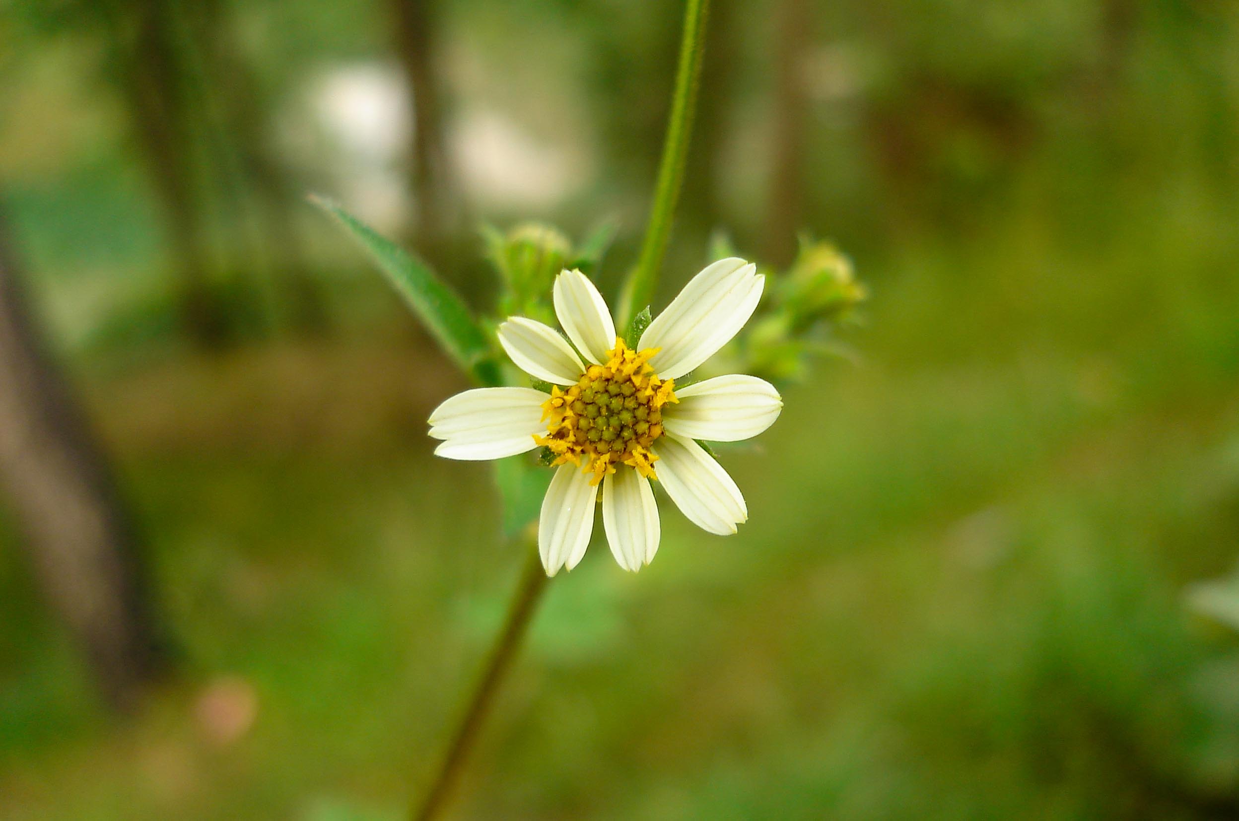
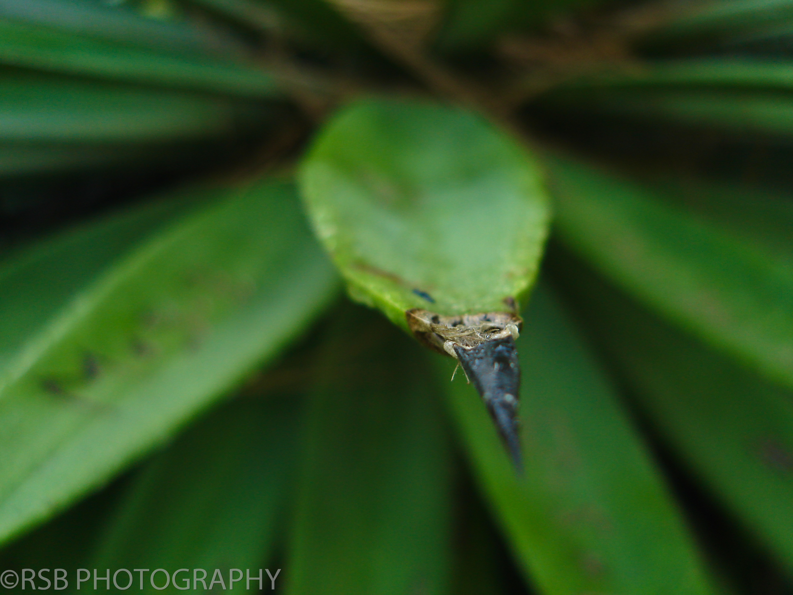
Every flower has a story to tell.
The Green Pine..
Topographic Map of Almora, Uttarakhand, India
Find elevation by address:

Places in Almora, Uttarakhand, India:
Basoli
Patiya
Almora
Dunagiri Road
Majkhali
Dhamas
Ata Britta
Ranikhet
Malla Surana
Dahal
Mat
Someshwar
Jalna
Dotiyal Gaon
Chitaula
Regariya
Jorasi Range
Seti Majhgaon
Ghoria Halson
Satri
Satkhol
Baret
Simyal Gaon
Dwarahat
Jageshwar Dham
Hartola
Basholi
Places near Almora, Uttarakhand, India:
Basoli
Dahal
Manila Devi Temple
Manila Mandir Malla
Jorasi Range
Dwarahat
Badrinath Mandir
Dunagiri Road
Malla Surana
Dunagiri Road
Dunagiri Road
Dunagiri Retreat
Yogoda Satsang Society
Digolikhal
Patti Gujru
Ranikhet
Dunagiri
Gurfali
Call Of The Wild Resort
Dhound
Recent Searches:
- Elevation of Corso Fratelli Cairoli, 35, Macerata MC, Italy
- Elevation of Tallevast Rd, Sarasota, FL, USA
- Elevation of 4th St E, Sonoma, CA, USA
- Elevation of Black Hollow Rd, Pennsdale, PA, USA
- Elevation of Oakland Ave, Williamsport, PA, USA
- Elevation of Pedrógão Grande, Portugal
- Elevation of Klee Dr, Martinsburg, WV, USA
- Elevation of Via Roma, Pieranica CR, Italy
- Elevation of Tavkvetili Mountain, Georgia
- Elevation of Hartfords Bluff Cir, Mt Pleasant, SC, USA