Elevation of Manila Devi Temple, Simar Road, Kamrarh, Uttarakhand, India
Location: India > Uttarakhand > Almora >
Longitude: 79.2204189
Latitude: 29.7227964
Elevation: 1734m / 5689feet
Barometric Pressure: 82KPa
Elevation Map:
Satellite Map:
Related Photos:
CSP_3115.JPG
CSP_3114.JPG

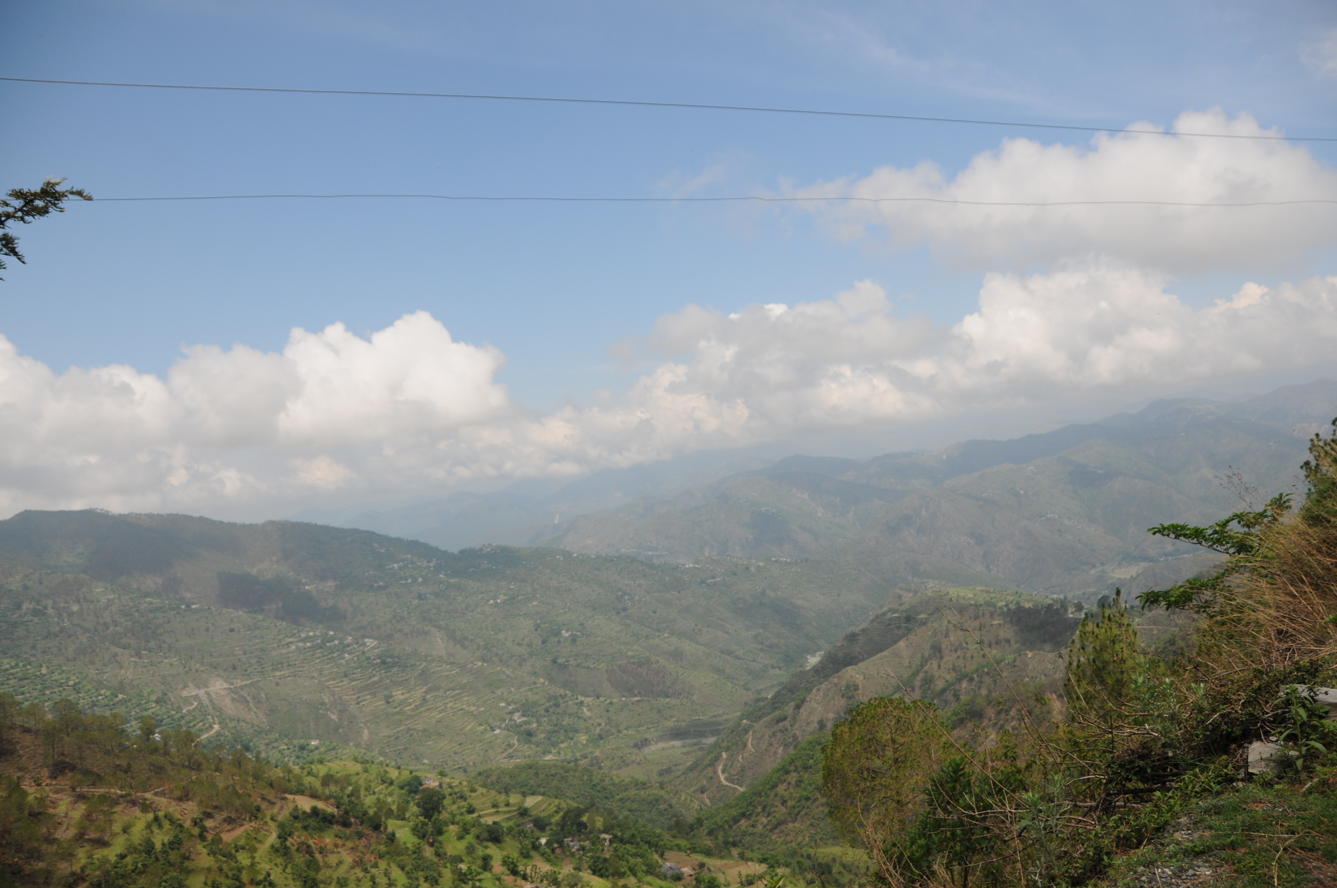
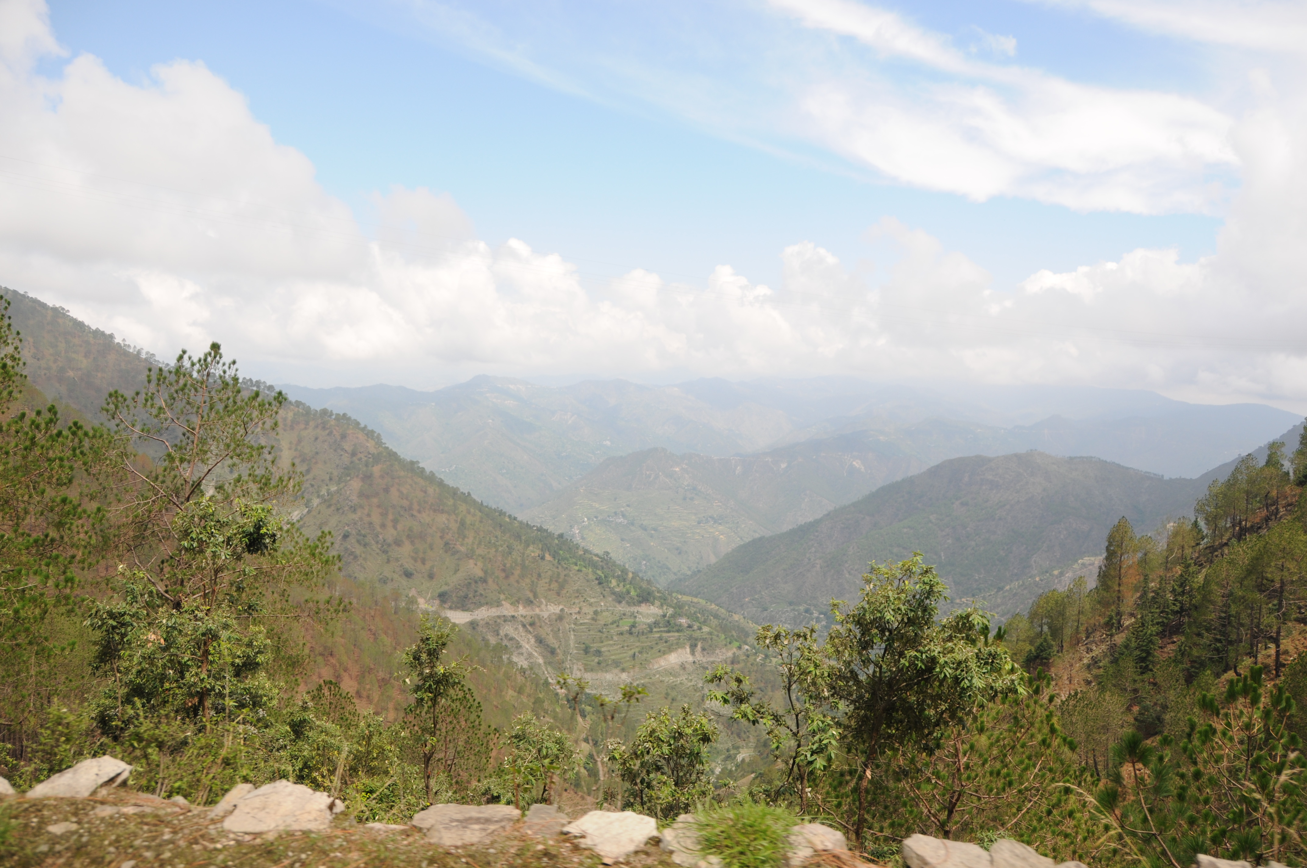
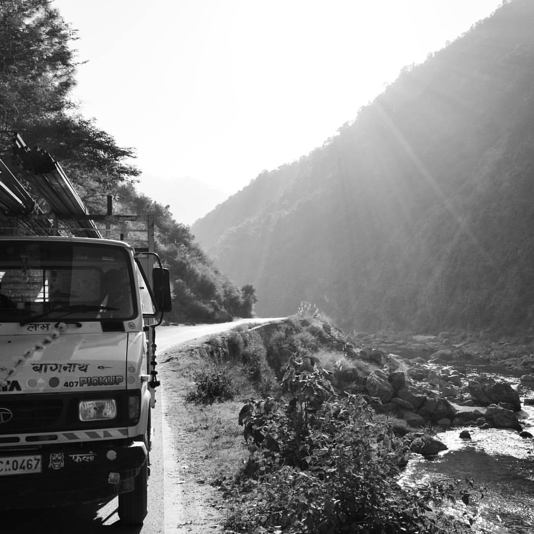
The other 'joys' of monsoon road trip
It's a long road but it's worth it! Nikon D5200 f/9.0 18mm 1/320 ISO100 #uttrakhand #almora #ranikhet #nainital #roadtrip #nikond5200
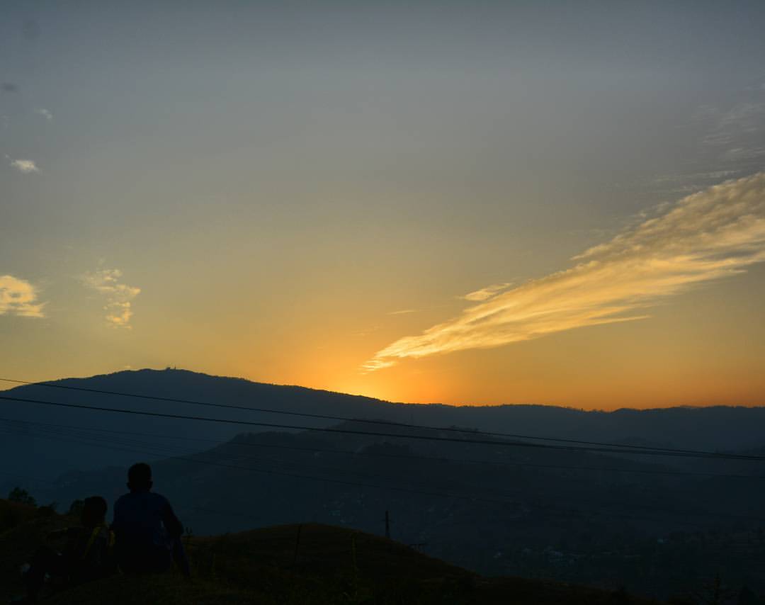
Sunset is Still my Favorite Color. Nikon D5200 f/9.0 27mm 1/320 ISO100 #sunset #almora #uttrakhand #incredibleindia #heaven #beautiful #landscape #evening
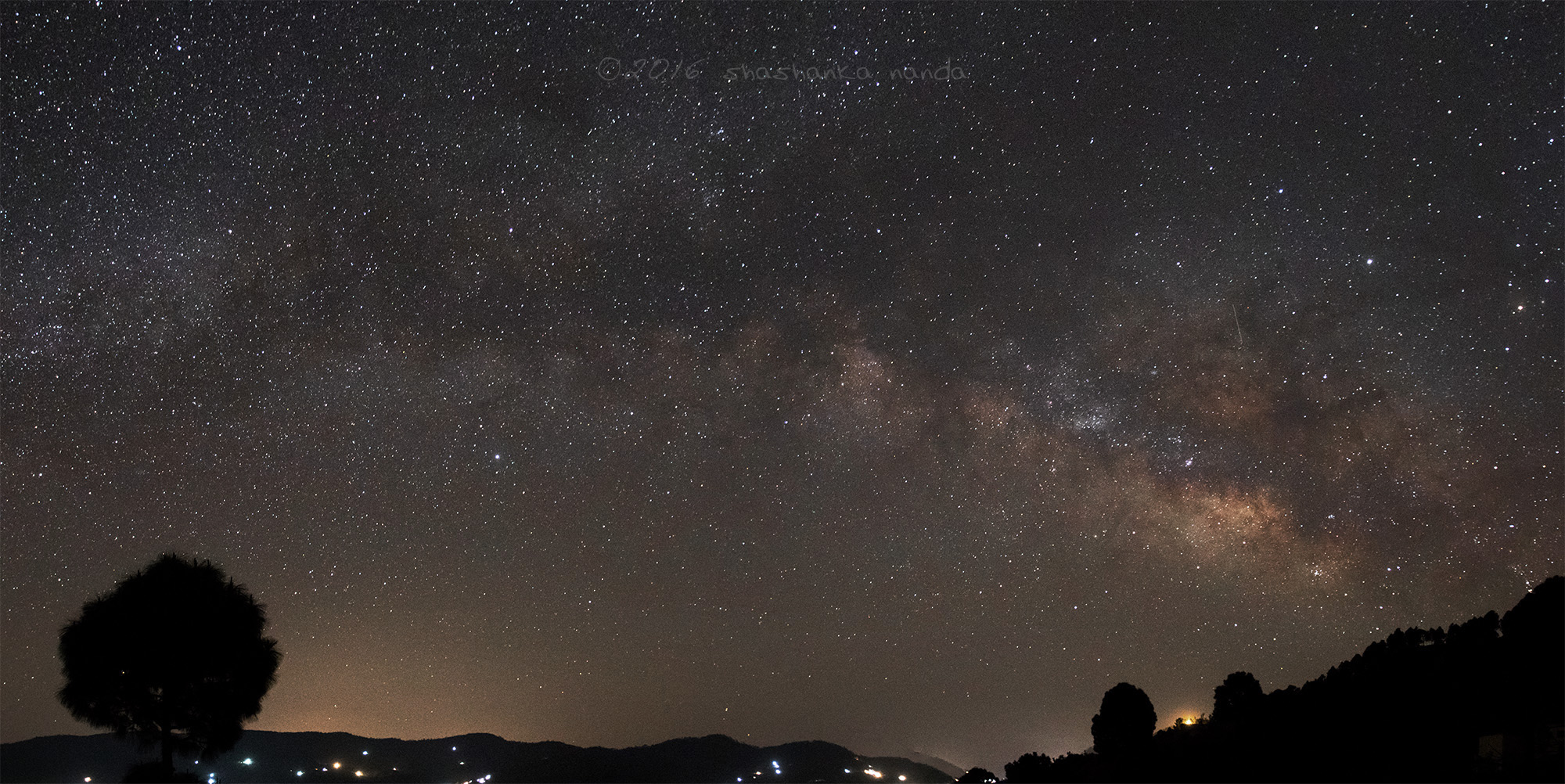
The Milky Way - Explored
Topographic Map of Manila Devi Temple, Simar Road, Kamrarh, Uttarakhand, India
Find elevation by address:

Places near Manila Devi Temple, Simar Road, Kamrarh, Uttarakhand, India:
Manila Mandir Malla
Jorasi Range
Almora
Basoli
Digolikhal
Patti Gujru
Dahal
Dunagiri
Call Of The Wild Resort
Seti Majhgaon
Marchula
Jadaukhand
Itc Resort At Jim Corbet
Betalghat
Listiyakhet
Ghoria Halson
Dhumakot
Chinwadi
Badrinath Mandir
Dwarahat
Recent Searches:
- Elevation of Corso Fratelli Cairoli, 35, Macerata MC, Italy
- Elevation of Tallevast Rd, Sarasota, FL, USA
- Elevation of 4th St E, Sonoma, CA, USA
- Elevation of Black Hollow Rd, Pennsdale, PA, USA
- Elevation of Oakland Ave, Williamsport, PA, USA
- Elevation of Pedrógão Grande, Portugal
- Elevation of Klee Dr, Martinsburg, WV, USA
- Elevation of Via Roma, Pieranica CR, Italy
- Elevation of Tavkvetili Mountain, Georgia
- Elevation of Hartfords Bluff Cir, Mt Pleasant, SC, USA