Elevation of Seti Majhgaon, Uttarakhand, India
Location: India > Uttarakhand > Almora >
Longitude: 79.2761224
Latitude: 29.5591509
Elevation: 768m / 2520feet
Barometric Pressure: 0KPa
Related Photos:

CSP_3112.JPG

CSP_3119.JPG

CSP_3116.JPG

CSP_3118.JPG

CSP_3113.JPG

CSP_3117.JPG

CSP_3114.JPG

CSP_3115.JPG

CSP_3123.JPG
CSP_3120.JPG

CSP_3124.JPG

Kosi River

irrigations...

Gajariya Devi Temple

Clouds roll over

Envelope and Engulf

Down the winding road

Remote road in Almora district

The other 'joys' of monsoon road trip

The other 'joys' of monsoon road trip

We couldnt see the road. Forget Birds

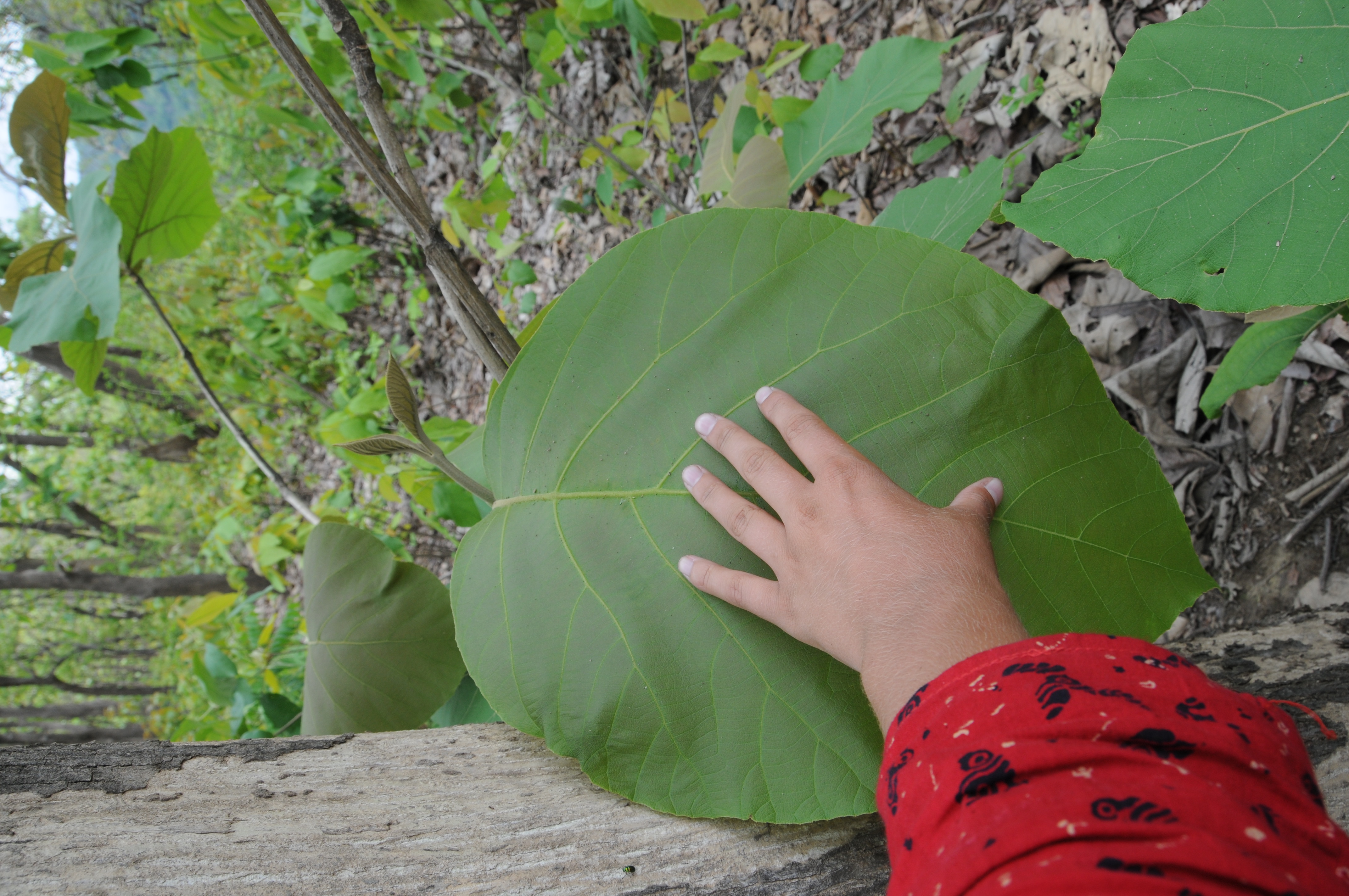
Lap of nature !
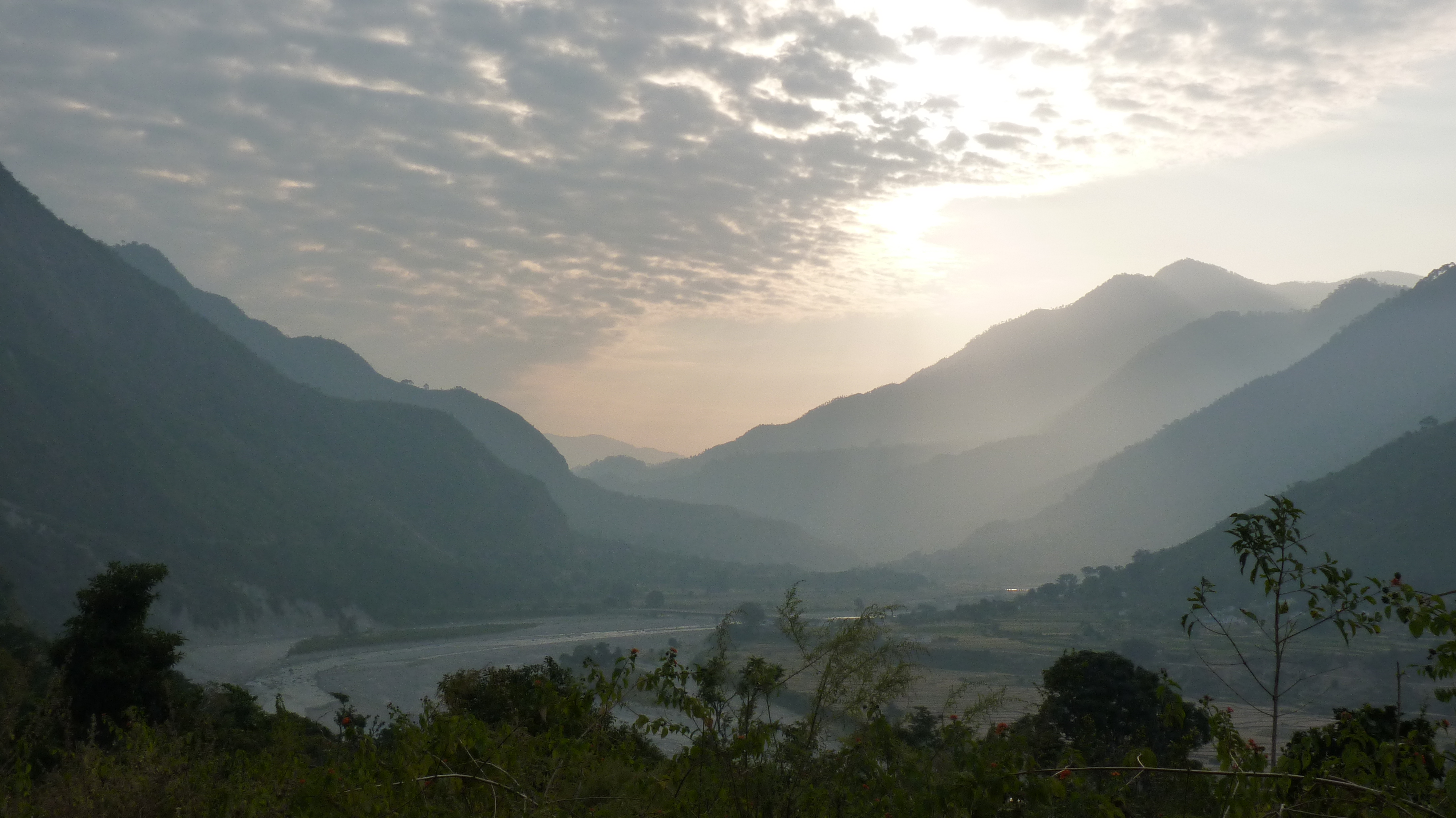
Uttarakhand - 2011

#landscape #betalghat #nanital #kosirever #incredible #incredibleuttarakhand #incredibleindia #PrashantBadoniphotography

College Tour To Nanital

River side @ Jimmy's Jungle.
Topographic Map of Seti Majhgaon, Uttarakhand, India
Find elevation by address:

Places in Seti Majhgaon, Uttarakhand, India:
Places near Seti Majhgaon, Uttarakhand, India:
Call Of The Wild Resort
Ghoria Halson
Betalghat
Itc Resort At Jim Corbet
Manila Devi Temple
Ranikhet
Marchula
Manila Mandir Malla
Dahal
Jorasi Range
Digolikhal
Dunagiri
Patti Gujru
Almora
Badrinath Mandir
Dwarahat
Majkhali
Basoli
Exalter Himalaya View
Dhamas
Recent Searches:
- Elevation map of Litang County, Sichuan, China
- Elevation map of Madoi County, Qinghai, China
- Elevation of 3314, Ohio State Route 114, Payne, Paulding County, Ohio, 45880, USA
- Elevation of Sarahills Drive, Saratoga, Santa Clara County, California, 95070, USA
- Elevation of Town of Bombay, Franklin County, New York, USA
- Elevation of 9, Convent Lane, Center Moriches, Suffolk County, New York, 11934, USA
- Elevation of Saint Angelas Convent, 9, Convent Lane, Center Moriches, Suffolk County, New York, 11934, USA
- Elevation of 131st Street Southwest, Mukilteo, Snohomish County, Washington, 98275, USA
- Elevation of 304, Harrison Road, Naples, Cumberland County, Maine, 04055, USA
- Elevation of 2362, Timber Ridge Road, Harrisburg, Cabarrus County, North Carolina, 28075, USA
- Elevation of Ridge Road, Marshalltown, Marshall County, Iowa, 50158, USA
- Elevation of 2459, Misty Shadows Drive, Pigeon Forge, Sevier County, Tennessee, 37862, USA
- Elevation of 8043, Brightwater Way, Spring Hill, Williamson County, Tennessee, 37179, USA
- Elevation of Starkweather Road, San Luis, Costilla County, Colorado, 81152, USA
- Elevation of 5277, Woodside Drive, Baton Rouge, East Baton Rouge Parish, Louisiana, 70808, USA
- Elevation of 1139, Curtin Street, Shepherd Park Plaza, Houston, Harris County, Texas, 77018, USA
- Elevation of 136, Sellers Lane, Repton, Monroe County, Alabama, 36475, USA
- Elevation of 12914, Elmington Drive, Lakewood Forest, Houston, Harris County, Texas, 77429, USA
- Elevation of 417, Camelot Drive, Statesville, Iredell County, North Carolina, 28625, USA
- Elevation of 5792, Wildridge Road, Avon, Eagle County, Colorado, 81620, USA