Elevation of Dwarahat, Uttarakhand, India
Location: India > Uttarakhand > Almora >
Longitude: 79.4267845
Latitude: 29.77603
Elevation: 1480m / 4856feet
Barometric Pressure: 85KPa
Elevation Map:
Satellite Map:
Related Photos:

Rani Lake Ranikhet

Mountain View

Before the dawn

Overcast valley

Hill path

Himalayan Range

Himalayan Mountains

Himalayan Range
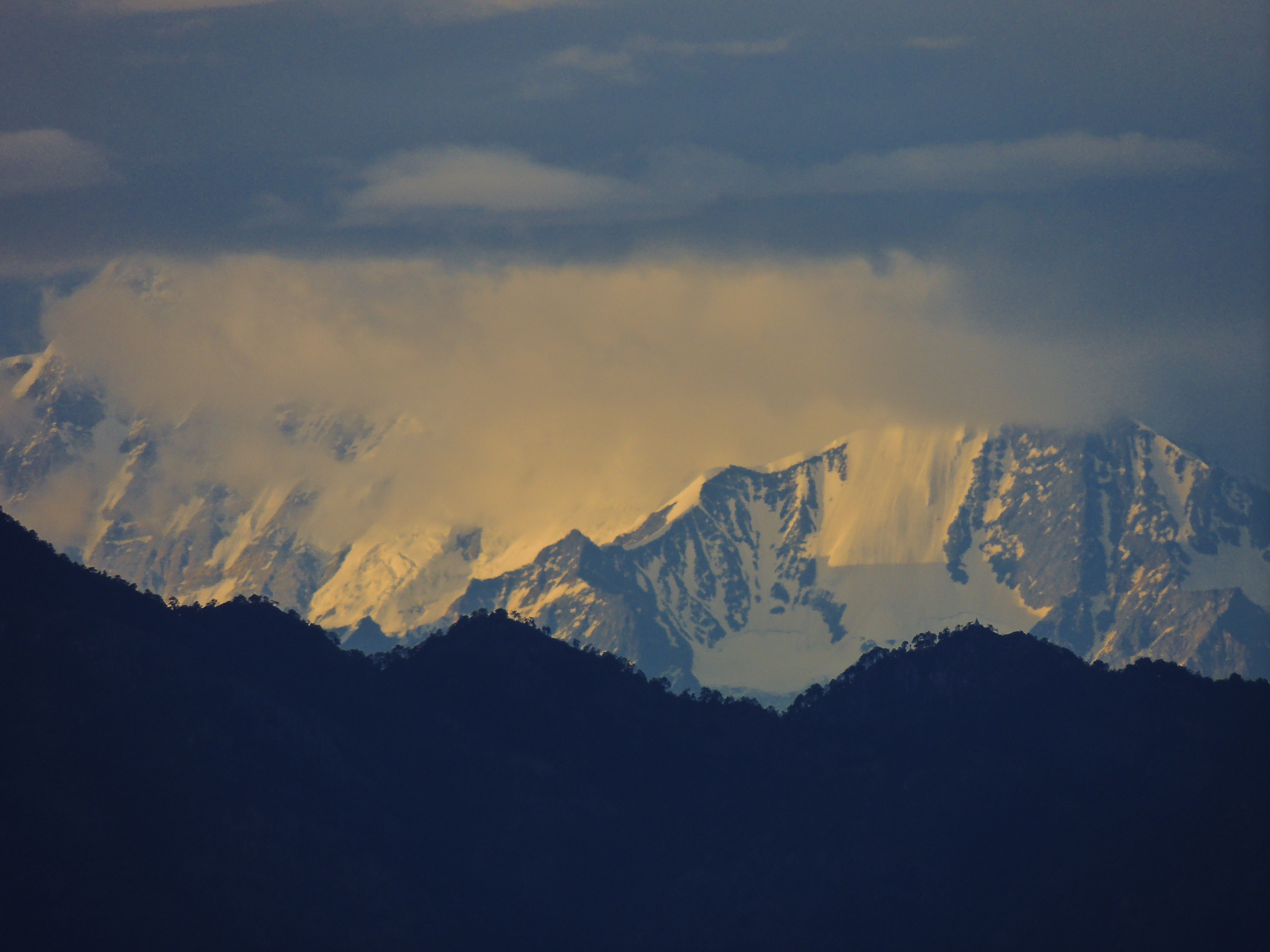
Sunset on the Himalayan Peaks
Topographic Map of Dwarahat, Uttarakhand, India
Find elevation by address:

Places near Dwarahat, Uttarakhand, India:
Badrinath Mandir
Dunagiri Road
Malla Surana
Dunagiri Road
Dunagiri Road
Dunagiri Retreat
Yogoda Satsang Society
Dahal
Majkhali
Ranikhet
Exalter Himalaya View
Almora
Basoli
Someshwar
Krishna Mountview Mountain Resort
Anashakti Ashram
Kausani
Manila Devi Temple
Dhamas
Baijnath
Recent Searches:
- Elevation of Corso Fratelli Cairoli, 35, Macerata MC, Italy
- Elevation of Tallevast Rd, Sarasota, FL, USA
- Elevation of 4th St E, Sonoma, CA, USA
- Elevation of Black Hollow Rd, Pennsdale, PA, USA
- Elevation of Oakland Ave, Williamsport, PA, USA
- Elevation of Pedrógão Grande, Portugal
- Elevation of Klee Dr, Martinsburg, WV, USA
- Elevation of Via Roma, Pieranica CR, Italy
- Elevation of Tavkvetili Mountain, Georgia
- Elevation of Hartfords Bluff Cir, Mt Pleasant, SC, USA