Elevation of Badrinath Mandir, Mathpal Khola,Hat, Dwarahat, Uttarakhand, India
Location: India > Uttarakhand > Almora >
Longitude: 79.4270352
Latitude: 29.7748661
Elevation: 1467m / 4813feet
Barometric Pressure: 85KPa
Elevation Map:
Satellite Map:
Related Photos:

Mountain View

Rani Lake Ranikhet

Remote road in Almora
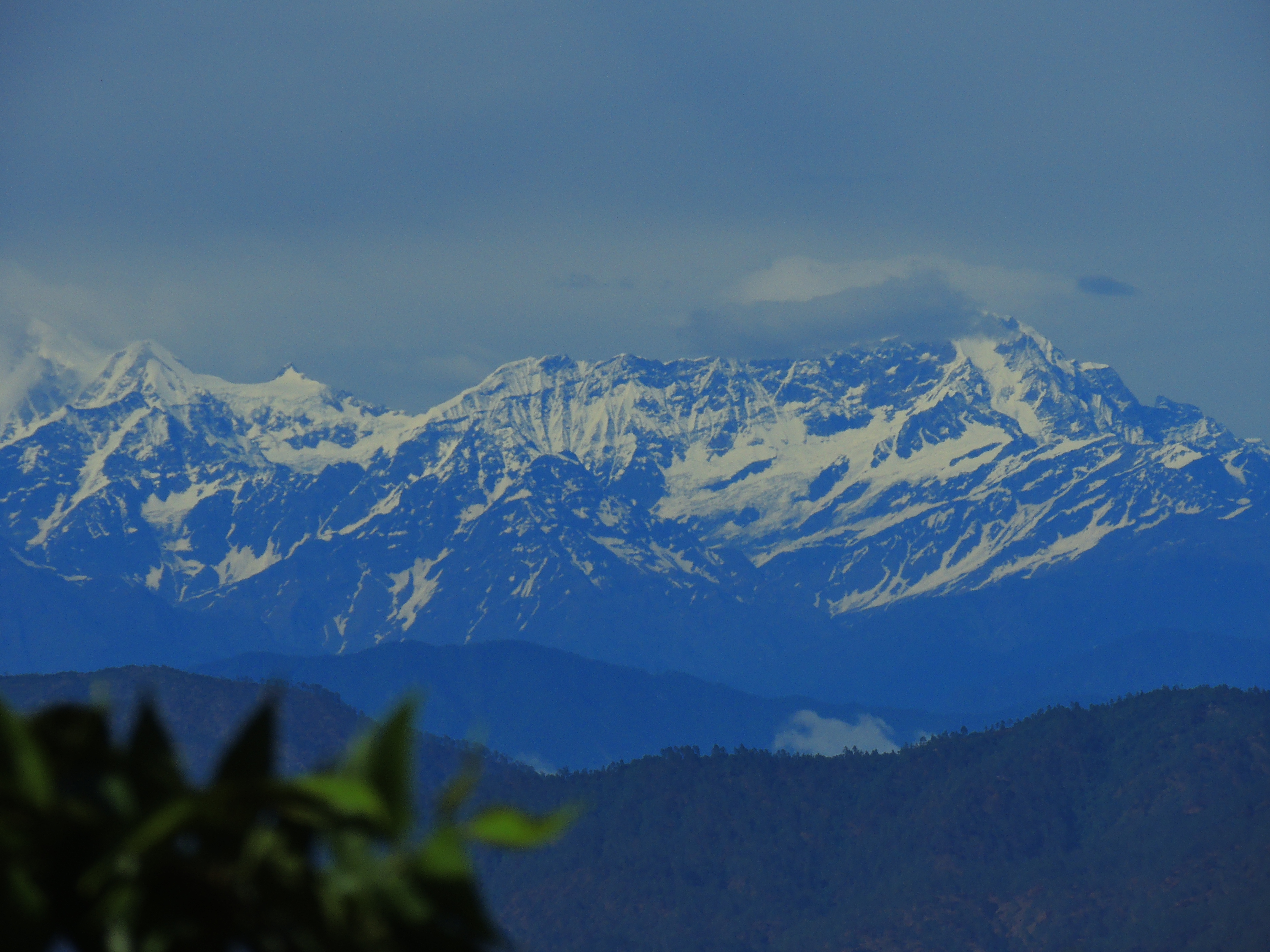
Himalayan Range
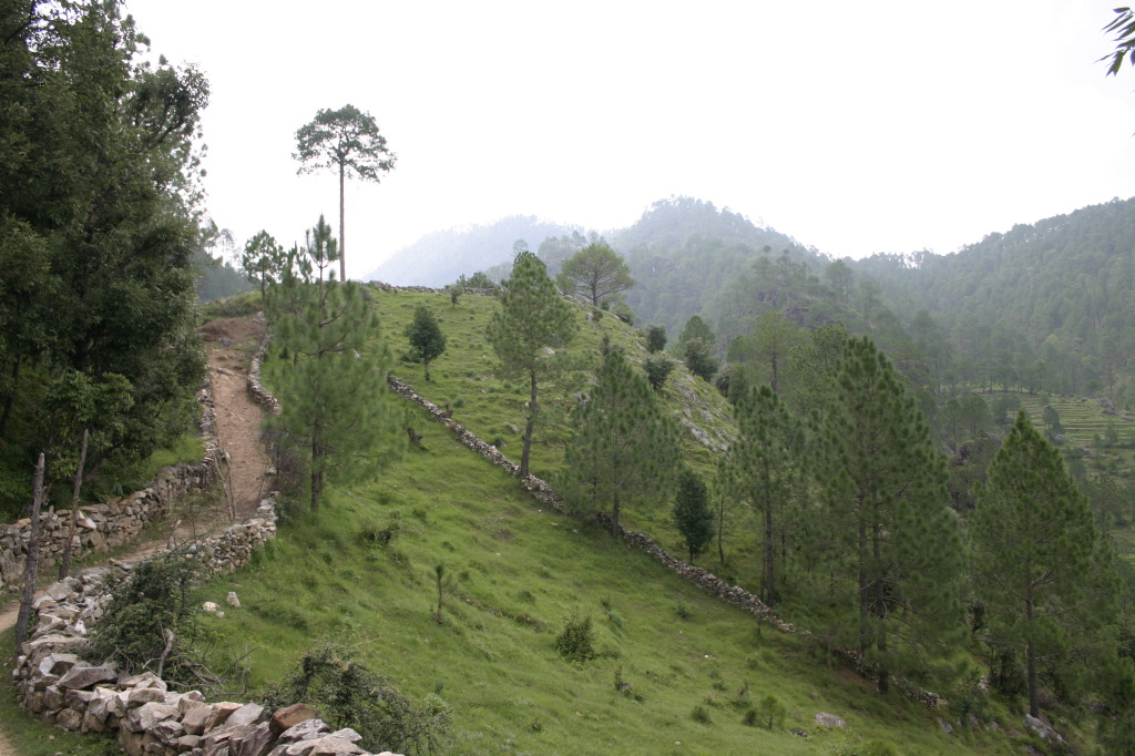
Hill path

In the Indian Mountains

In the Indian Mountains

MN20180608-009.jpg

faintly squint

MN20180613-019.jpg

Before the dawn

Working hard for something we don't care about is called stress: Working hard for something we love is called passion. -Simon Sinek Nikon D5200 f/5.6 55mm 1/160 ISO200 #dailywork #hardwork #labour #life #nikond5200

Nandadevi - Reclining Budhdha !!!

IMG_9226.jpg

IMG_9230.jpg

IMG_9206.jpg

PZ20160628-205.jpg

PZ20160620-102.jpg

#sunset #latergram #nofilter
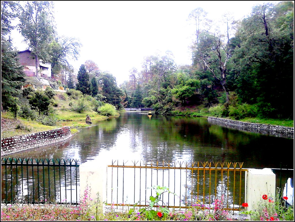
Rani Jheel Ranikhet

Serene beauty of himalayas from Ranikhet mall road. . . . #good #morning #serene #beauty #himalayas #love #nature #hills #instamood #instamorning #kumaoni #beautiful #places #instabeautiful #instabeauty #instaserene #soi #soiwalks #_soi #_soiranikhet #_so

on fading chisels... deity representation on a panel of a traditional Kumauni window bracket... #uttarakhand #kumaon #kumaun #architecture #traditionalarchitecture #ruralarchitecture #himalayas #woodwork #woodart #art #visualstorytelling #folklore #folkar

In the Indian Mountains

In the Indian Mountains
Topographic Map of Badrinath Mandir, Mathpal Khola,Hat, Dwarahat, Uttarakhand, India
Find elevation by address:

Places near Badrinath Mandir, Mathpal Khola,Hat, Dwarahat, Uttarakhand, India:
Dwarahat
Dunagiri Road
Malla Surana
Dunagiri Road
Dunagiri Road
Dunagiri Retreat
Yogoda Satsang Society
Dahal
Majkhali
Ranikhet
Exalter Himalaya View
Almora
Basoli
Someshwar
Krishna Mountview Mountain Resort
Anashakti Ashram
Kausani
Manila Devi Temple
Dhamas
Baijnath
Recent Searches:
- Elevation of Corso Fratelli Cairoli, 35, Macerata MC, Italy
- Elevation of Tallevast Rd, Sarasota, FL, USA
- Elevation of 4th St E, Sonoma, CA, USA
- Elevation of Black Hollow Rd, Pennsdale, PA, USA
- Elevation of Oakland Ave, Williamsport, PA, USA
- Elevation of Pedrógão Grande, Portugal
- Elevation of Klee Dr, Martinsburg, WV, USA
- Elevation of Via Roma, Pieranica CR, Italy
- Elevation of Tavkvetili Mountain, Georgia
- Elevation of Hartfords Bluff Cir, Mt Pleasant, SC, USA