Elevation of Dhound, Uttarakhand, India
Location: India > Uttarakhand > Pauri Garhwal >
Longitude: 79.062387
Latitude: 29.9312285
Elevation: 1650m / 5413feet
Barometric Pressure: 83KPa
Elevation Map:
Satellite Map:
Related Photos:

Its time to shed the old ideas!

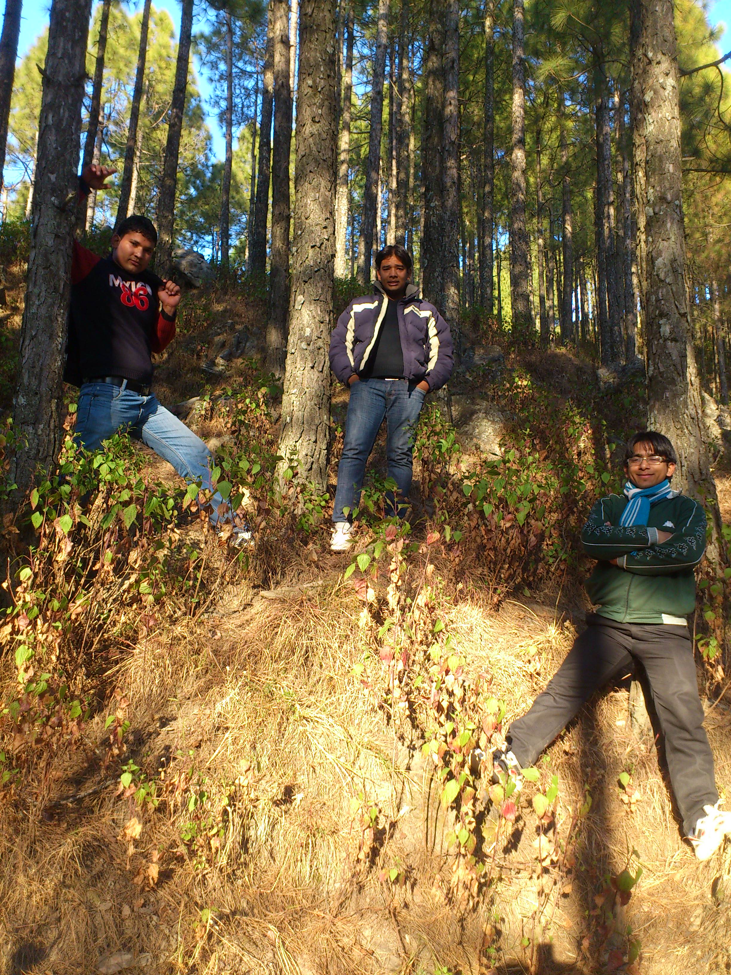
Forest! The need of the present hour

Eternal beauty
Jamriya , UttrakhUttrakhand and
Topographic Map of Dhound, Uttarakhand, India
Find elevation by address:

Places near Dhound, Uttarakhand, India:
Gurfali
Vedikhal
Nayapanchayat Chetra Dumaila { Bironkhal }
Thalisain
Bironkhal
Dumaila Malla
Uttarakhand
Listiyakhait Khaliyundanda Rikhnikhal Marg
Chinwadi
Listiyakhet
Takolikhal
Primary School, Takolikhal
Jadaukhand
Dudhatoli
Jorasi Range
Dhumakot
Patti Gujru
Digolikhal
Manila Mandir Malla
Sulumori
Recent Searches:
- Elevation of Corso Fratelli Cairoli, 35, Macerata MC, Italy
- Elevation of Tallevast Rd, Sarasota, FL, USA
- Elevation of 4th St E, Sonoma, CA, USA
- Elevation of Black Hollow Rd, Pennsdale, PA, USA
- Elevation of Oakland Ave, Williamsport, PA, USA
- Elevation of Pedrógão Grande, Portugal
- Elevation of Klee Dr, Martinsburg, WV, USA
- Elevation of Via Roma, Pieranica CR, Italy
- Elevation of Tavkvetili Mountain, Georgia
- Elevation of Hartfords Bluff Cir, Mt Pleasant, SC, USA