Elevation of Nayapanchayat Chetra Dumaila { Bironkhal }, Patti Khatli, Bironkhal, Uttarakhand, India
Location: India > Uttarakhand > Pauri Garhwal >
Longitude: 79.0362544
Latitude: 29.845493
Elevation: 1601m / 5253feet
Barometric Pressure: 0KPa
Related Photos:

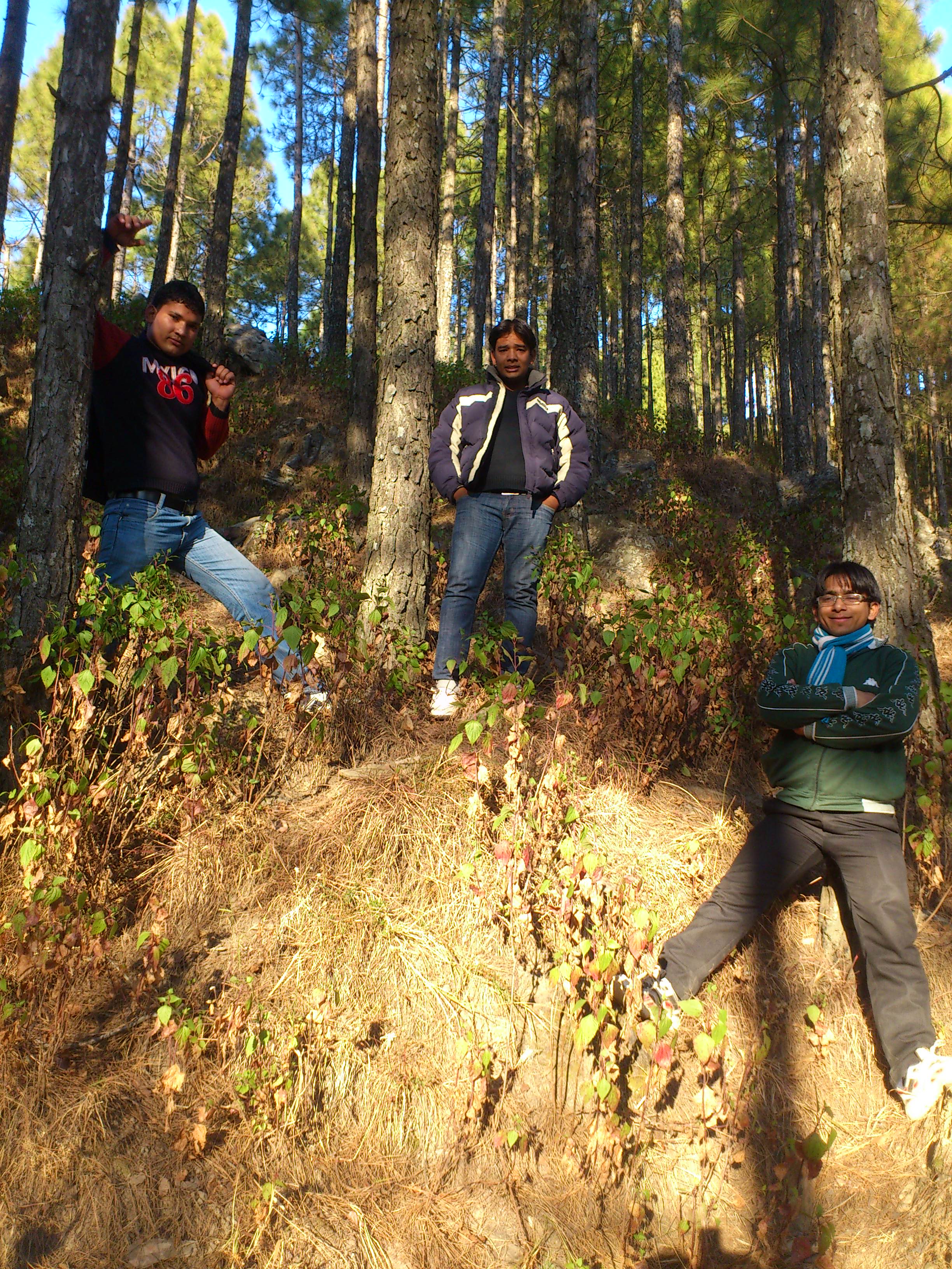
Eternal beauty

Its time to shed the old ideas!

Forest! The need of the present hour
Jamriya , UttrakhUttrakhand and

DSC_Uttrakhand 0022 (2)
Topographic Map of Nayapanchayat Chetra Dumaila { Bironkhal }, Patti Khatli, Bironkhal, Uttarakhand, India
Find elevation by address:

Places in Nayapanchayat Chetra Dumaila { Bironkhal }, Patti Khatli, Bironkhal, Uttarakhand, India:
Places near Nayapanchayat Chetra Dumaila { Bironkhal }, Patti Khatli, Bironkhal, Uttarakhand, India:
Bironkhal
Dumaila Malla
Vedikhal
Listiyakhait Khaliyundanda Rikhnikhal Marg
Chinwadi
Listiyakhet
Jadaukhand
Dhumakot
Takolikhal
Primary School, Takolikhal
Patti Gujru
Digolikhal
Sulumori
Dunagiri
Rikhnikhal
Kandakhal
Pauri Garhwal
Dabri Walli
Dhabkhal
Bhanswara
Recent Searches:
- Elevation map of Greenland, Greenland
- Elevation of Sullivan Hill, New York, New York, 10002, USA
- Elevation of Morehead Road, Withrow Downs, Charlotte, Mecklenburg County, North Carolina, 28262, USA
- Elevation of 2800, Morehead Road, Withrow Downs, Charlotte, Mecklenburg County, North Carolina, 28262, USA
- Elevation of Yangbi Yi Autonomous County, Yunnan, China
- Elevation of Pingpo, Yangbi Yi Autonomous County, Yunnan, China
- Elevation of Mount Malong, Pingpo, Yangbi Yi Autonomous County, Yunnan, China
- Elevation map of Yongping County, Yunnan, China
- Elevation of North 8th Street, Palatka, Putnam County, Florida, 32177, USA
- Elevation of 107, Big Apple Road, East Palatka, Putnam County, Florida, 32131, USA
- Elevation of Jiezi, Chongzhou City, Sichuan, China
- Elevation of Chongzhou City, Sichuan, China
- Elevation of Huaiyuan, Chongzhou City, Sichuan, China
- Elevation of Qingxia, Chengdu, Sichuan, China
- Elevation of Corso Fratelli Cairoli, 35, Macerata MC, Italy
- Elevation of Tallevast Rd, Sarasota, FL, USA
- Elevation of 4th St E, Sonoma, CA, USA
- Elevation of Black Hollow Rd, Pennsdale, PA, USA
- Elevation of Oakland Ave, Williamsport, PA, USA
- Elevation of Pedrógão Grande, Portugal