Elevation of Nayapanchayat Chetra Dumaila { Bironkhal }, Dumaila Malla, Uttarakhand, India
Location: India > Uttarakhand > Pauri Garhwal > Nayapanchayat Chetra Dumaila { Bironkhal } >
Longitude: 79.0245984
Latitude: 29.8427321
Elevation: 1559m / 5115feet
Barometric Pressure: 0KPa
Related Photos:

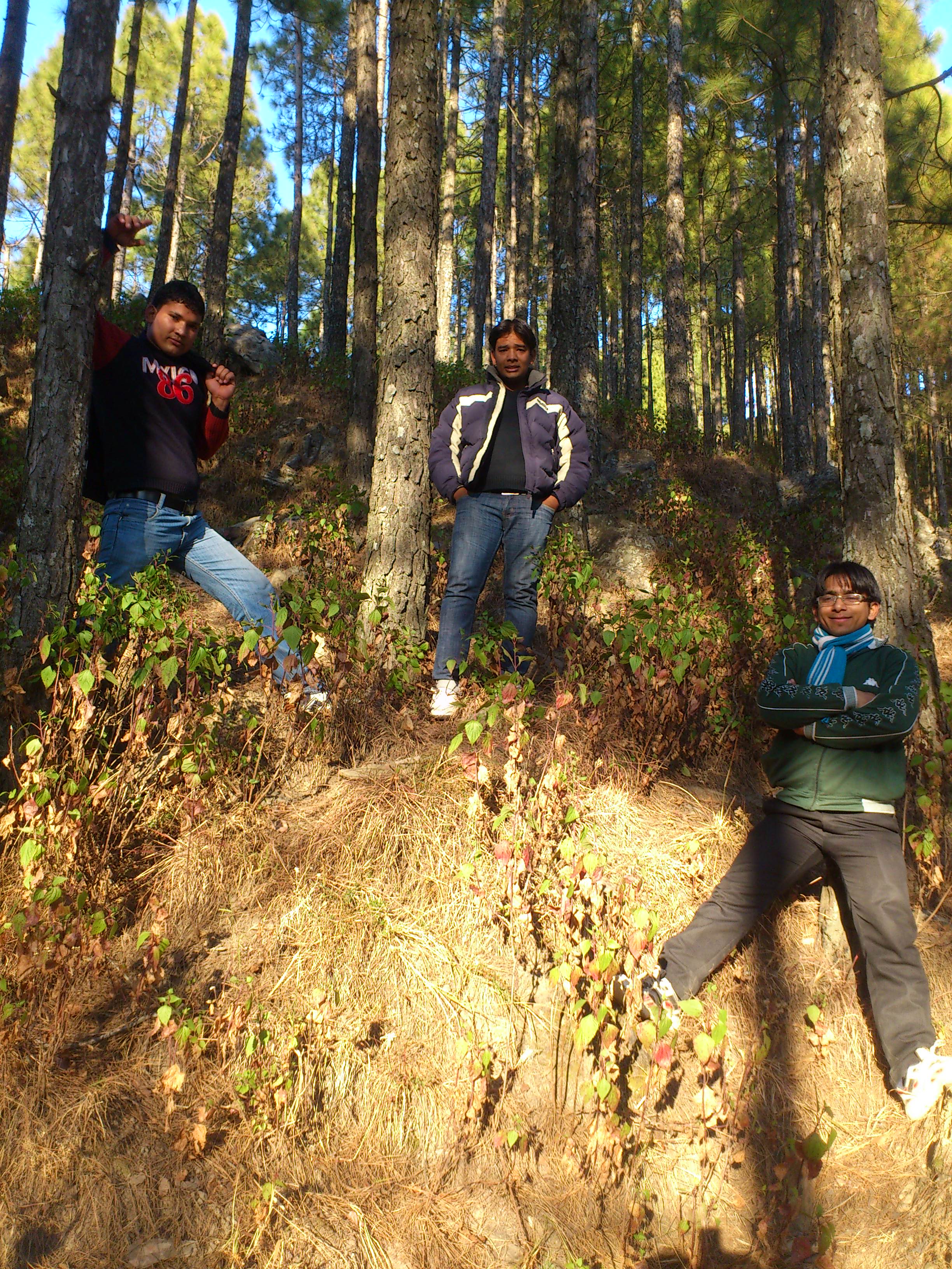
Eternal beauty

Its time to shed the old ideas!

Forest! The need of the present hour
Jamriya , UttrakhUttrakhand and

DSC_Uttrakhand 0022 (2)
Topographic Map of Nayapanchayat Chetra Dumaila { Bironkhal }, Dumaila Malla, Uttarakhand, India
Find elevation by address:

Places near Nayapanchayat Chetra Dumaila { Bironkhal }, Dumaila Malla, Uttarakhand, India:
Bironkhal
Nayapanchayat Chetra Dumaila { Bironkhal }
Vedikhal
Listiyakhait Khaliyundanda Rikhnikhal Marg
Chinwadi
Listiyakhet
Dhumakot
Takolikhal
Primary School, Takolikhal
Jadaukhand
Sulumori
Patti Gujru
Digolikhal
Dunagiri
Rikhnikhal
Kandakhal
Pauri Garhwal
Dabri Walli
Dhabkhal
Bhanswara
Recent Searches:
- Elevation map of Greenland, Greenland
- Elevation of Sullivan Hill, New York, New York, 10002, USA
- Elevation of Morehead Road, Withrow Downs, Charlotte, Mecklenburg County, North Carolina, 28262, USA
- Elevation of 2800, Morehead Road, Withrow Downs, Charlotte, Mecklenburg County, North Carolina, 28262, USA
- Elevation of Yangbi Yi Autonomous County, Yunnan, China
- Elevation of Pingpo, Yangbi Yi Autonomous County, Yunnan, China
- Elevation of Mount Malong, Pingpo, Yangbi Yi Autonomous County, Yunnan, China
- Elevation map of Yongping County, Yunnan, China
- Elevation of North 8th Street, Palatka, Putnam County, Florida, 32177, USA
- Elevation of 107, Big Apple Road, East Palatka, Putnam County, Florida, 32131, USA
- Elevation of Jiezi, Chongzhou City, Sichuan, China
- Elevation of Chongzhou City, Sichuan, China
- Elevation of Huaiyuan, Chongzhou City, Sichuan, China
- Elevation of Qingxia, Chengdu, Sichuan, China
- Elevation of Corso Fratelli Cairoli, 35, Macerata MC, Italy
- Elevation of Tallevast Rd, Sarasota, FL, USA
- Elevation of 4th St E, Sonoma, CA, USA
- Elevation of Black Hollow Rd, Pennsdale, PA, USA
- Elevation of Oakland Ave, Williamsport, PA, USA
- Elevation of Pedrógão Grande, Portugal