Elevation of Jageshwar Dham, Uttarakhand, India
Location: India > Uttarakhand > Almora >
Longitude: 79.8527819
Latitude: 29.6384344
Elevation: 1817m / 5961feet
Barometric Pressure: 81KPa
Elevation Map:
Satellite Map:
Related Photos:

The crown of glory

The Road

Sunset at Danya

The view at binser

Nanda Devi in the Morning Light

A0006282-Edit.jpg

Fields in the midst of the mountains

Again from the Resort

Khali Estate

Badri from afar
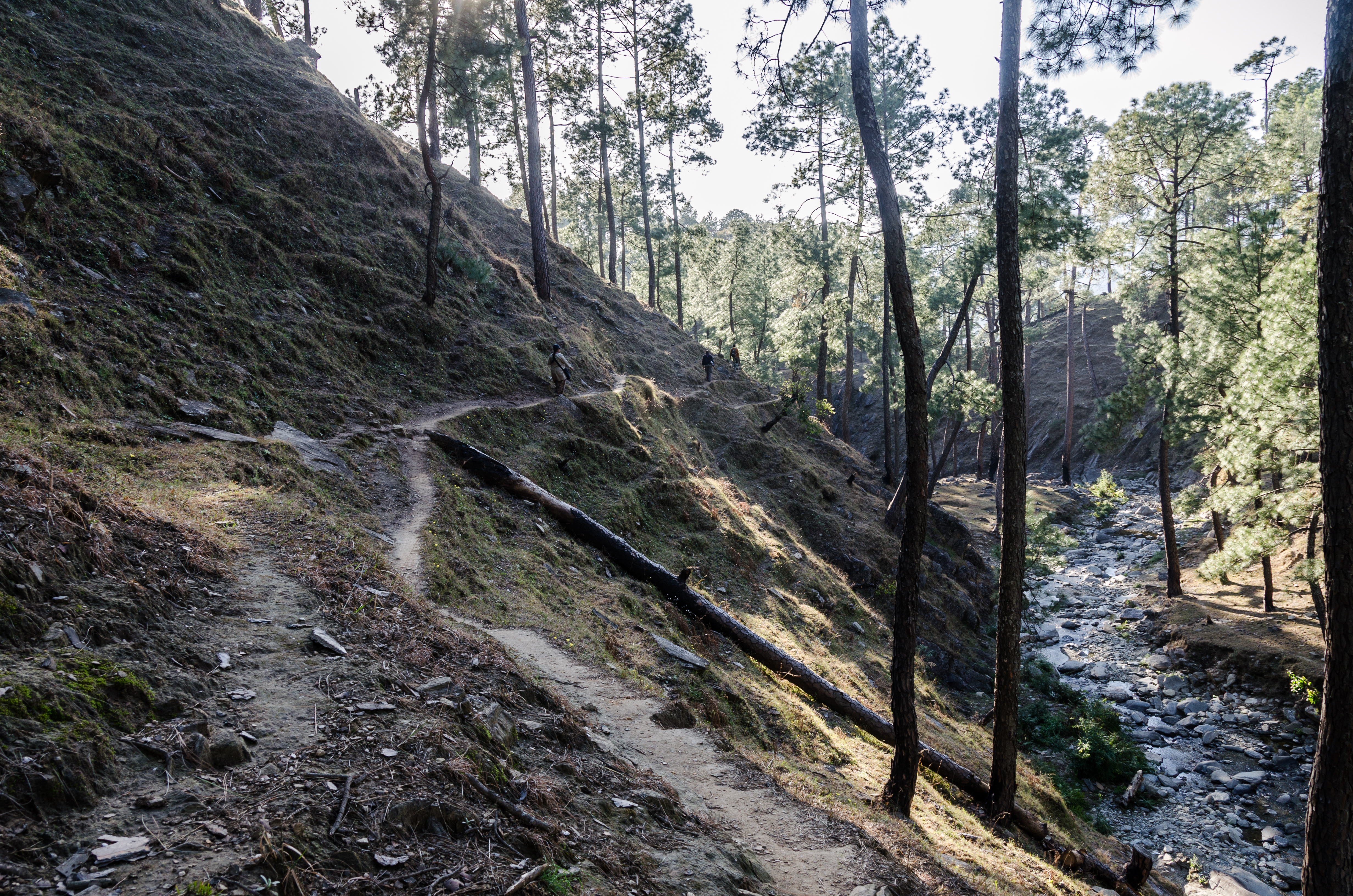
One Slip!
Topographic Map of Jageshwar Dham, Uttarakhand, India
Find elevation by address:

Places near Jageshwar Dham, Uttarakhand, India:
Mary Budden Estate
Binsar
Regariya
Satri
Chitaula
Sarayu River
Jalna
Basholi
Patiya
Keval Krishna Ashram
Dotiyal Gaon
Kasar Devi Temple
Mat
Almora
Baret
Wildrift Adventures - Camp Shaama
Namtichetabagar
Bageshwar
Patal Bhuvaneshwar
Berinag
Recent Searches:
- Elevation of Corso Fratelli Cairoli, 35, Macerata MC, Italy
- Elevation of Tallevast Rd, Sarasota, FL, USA
- Elevation of 4th St E, Sonoma, CA, USA
- Elevation of Black Hollow Rd, Pennsdale, PA, USA
- Elevation of Oakland Ave, Williamsport, PA, USA
- Elevation of Pedrógão Grande, Portugal
- Elevation of Klee Dr, Martinsburg, WV, USA
- Elevation of Via Roma, Pieranica CR, Italy
- Elevation of Tavkvetili Mountain, Georgia
- Elevation of Hartfords Bluff Cir, Mt Pleasant, SC, USA