Elevation of Wildrift Adventures - Camp Shaama, Village Gyandhura Shaama, Bāgeshwar, Uttarakhand, India
Location: India > Uttarakhand > Bageshwar > Namtichetabagar >
Longitude: 79.7746038
Latitude: 29.836442
Elevation: 886m / 2907feet
Barometric Pressure: 91KPa
Elevation Map:
Satellite Map:
Related Photos:
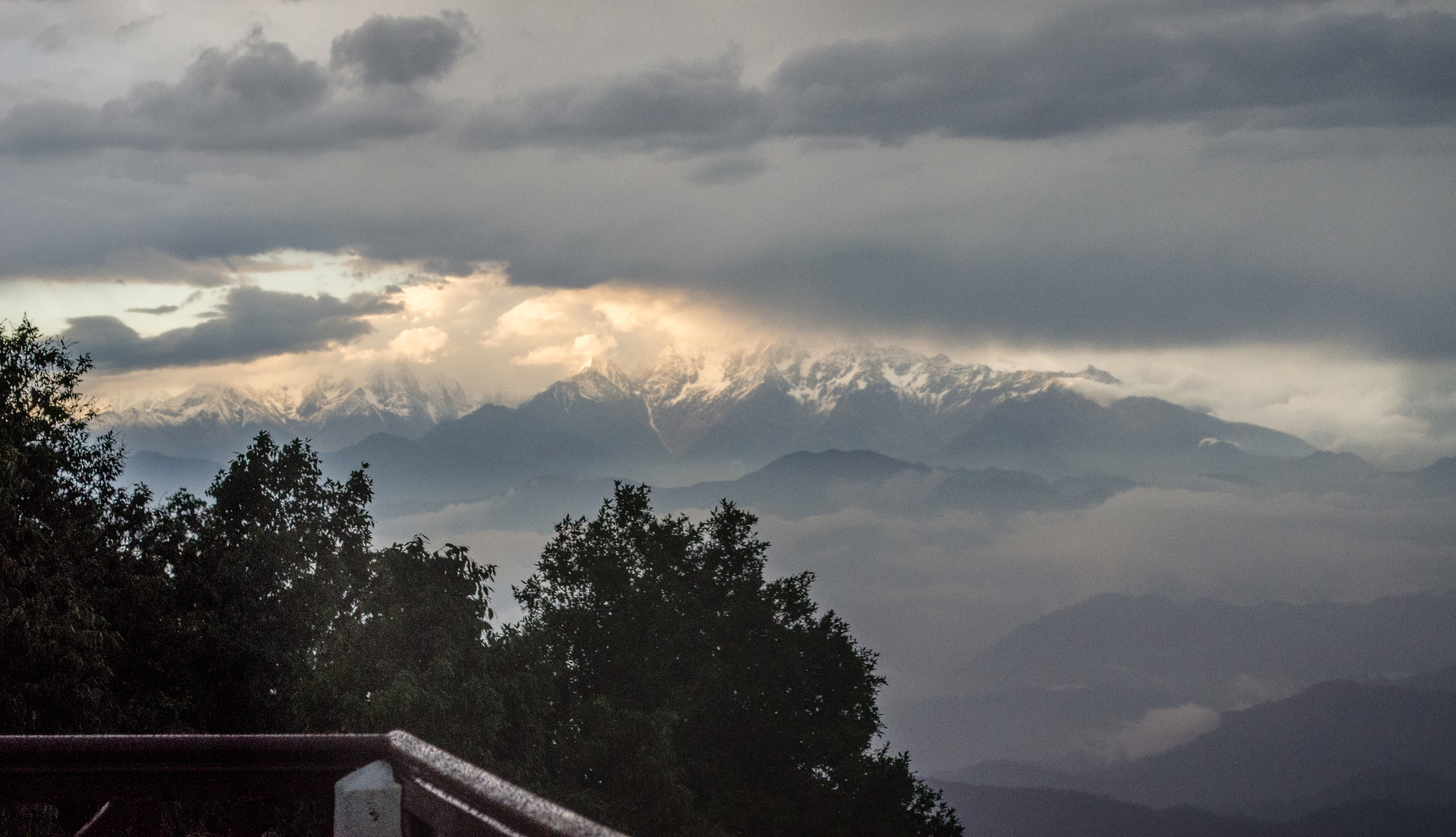
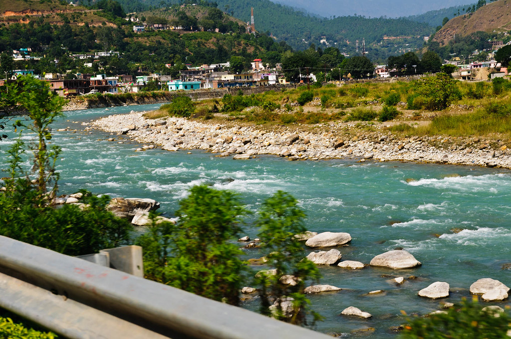
The crown of glory
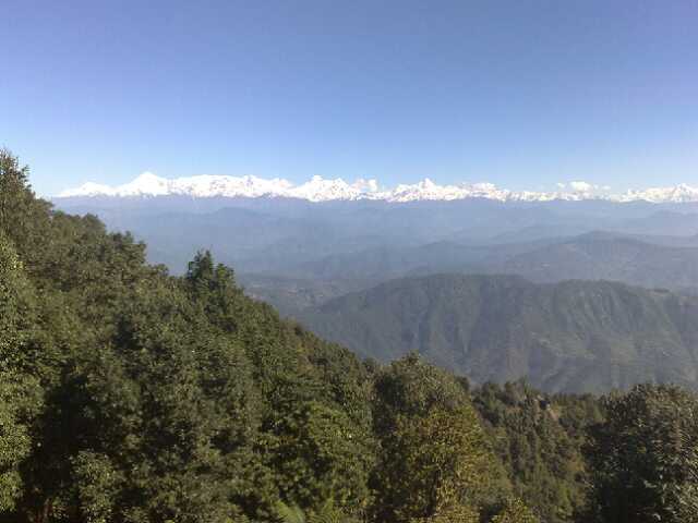
The view at binser
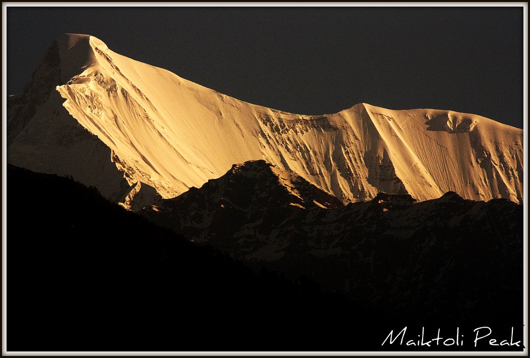
Maiktoli Peak, early morning view
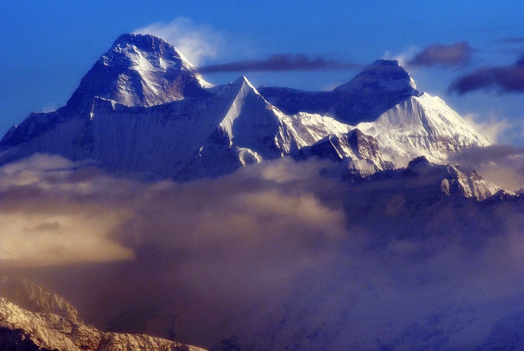
Nanda Devi in the Morning Light

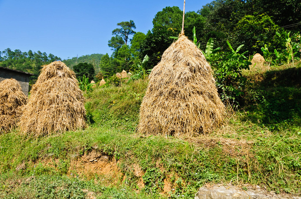
Fields in the midst of the mountains
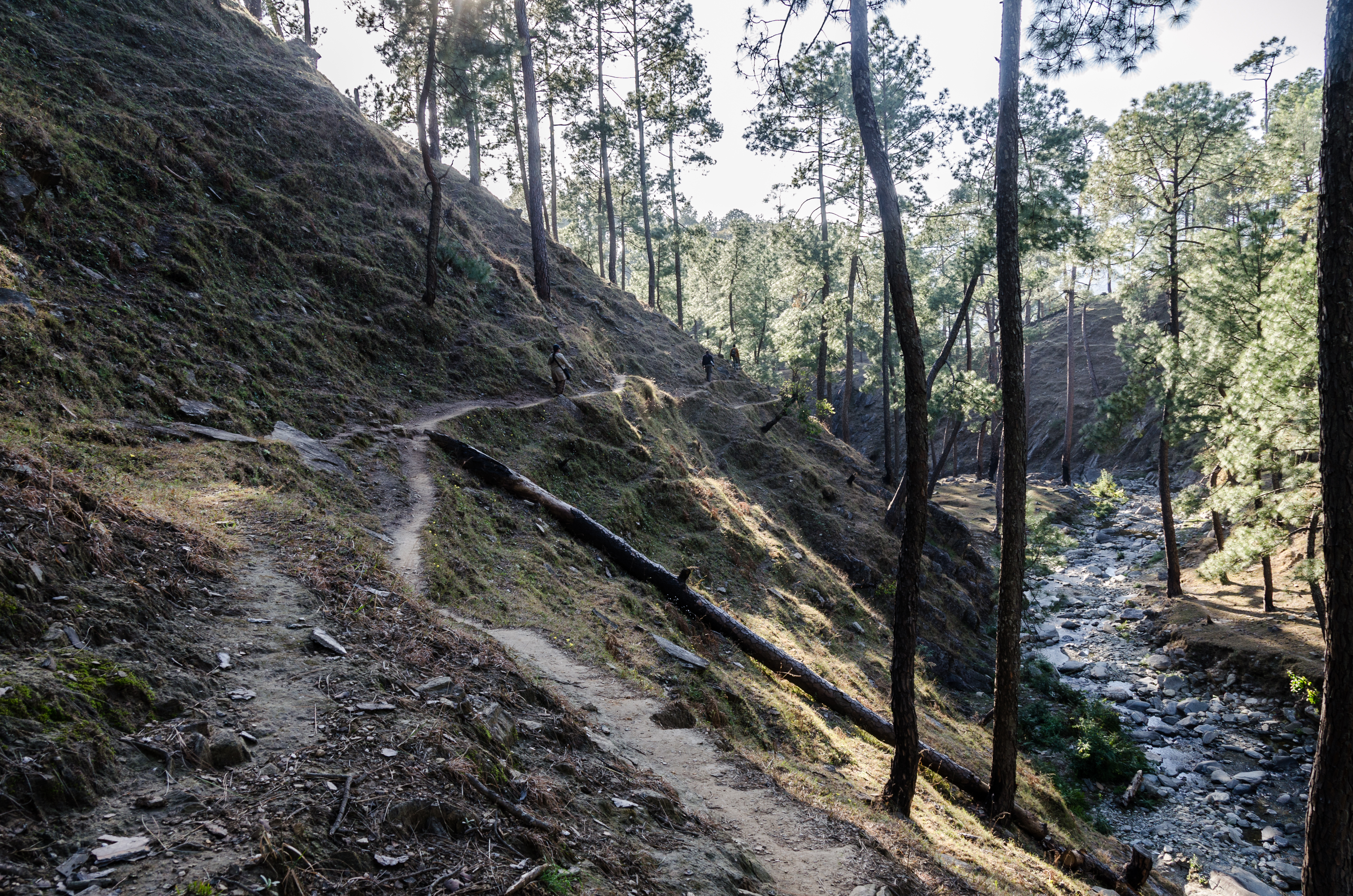
One Slip!

IND11-0954-20111003.jpg
IND11-1036-20111003.jpg
IND11-0973-20111003.jpg
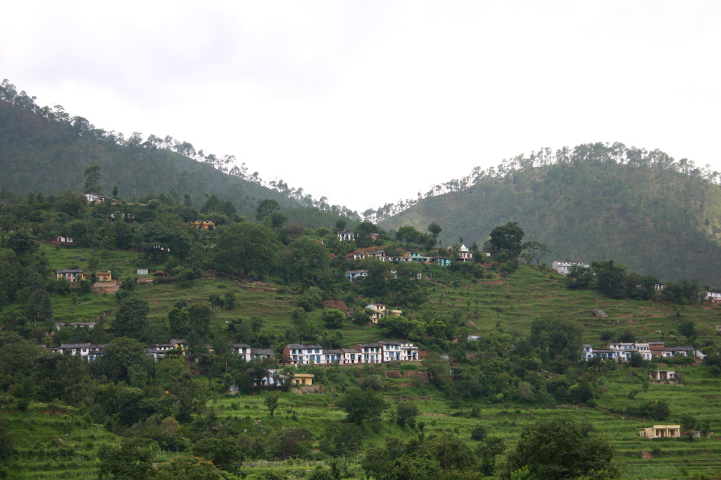
Hillside houses
Topographic Map of Wildrift Adventures - Camp Shaama, Village Gyandhura Shaama, Bāgeshwar, Uttarakhand, India
Find elevation by address:

Places near Wildrift Adventures - Camp Shaama, Village Gyandhura Shaama, Bāgeshwar, Uttarakhand, India:
Namtichetabagar
Bageshwar
Baret
Satri
Mary Budden Estate
Keval Krishna Ashram
Dotiyal Gaon
Binsar
Regariya
Basholi
Kapkot
Bhayu Mai Hhurauni
Kausani
Anashakti Ashram
Baijnath
Krishna Mountview Mountain Resort
Patiya
Someshwar
Bageshwar
Jageshwar Dham
Recent Searches:
- Elevation of Corso Fratelli Cairoli, 35, Macerata MC, Italy
- Elevation of Tallevast Rd, Sarasota, FL, USA
- Elevation of 4th St E, Sonoma, CA, USA
- Elevation of Black Hollow Rd, Pennsdale, PA, USA
- Elevation of Oakland Ave, Williamsport, PA, USA
- Elevation of Pedrógão Grande, Portugal
- Elevation of Klee Dr, Martinsburg, WV, USA
- Elevation of Via Roma, Pieranica CR, Italy
- Elevation of Tavkvetili Mountain, Georgia
- Elevation of Hartfords Bluff Cir, Mt Pleasant, SC, USA