Elevation of Alford Forest, New Zealand

Location: New Zealand > Canterbury >

Longitude: 171.505012

Latitude: -43.611745

Elevation: 438m / 1437feet

Barometric Pressure: 96KPa

Elevation Map:

elevation map of Alford Forest, New Zealand

Satellite Map:

Satellite map of Alford Forest, New Zealand

Related Photos:

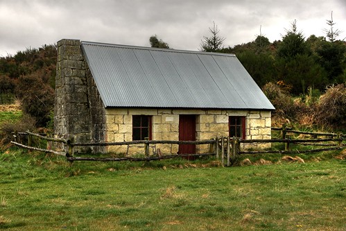
old newzealand house building abandoned home stone century rural decay colonial cottage canterbury limestone restored gorge quarry 19th ashburton mtsomers oldandbeautiful oncewashome
Old house, Ashburton Gorge Road, Mt Somers District, Canterbury, New Zealand
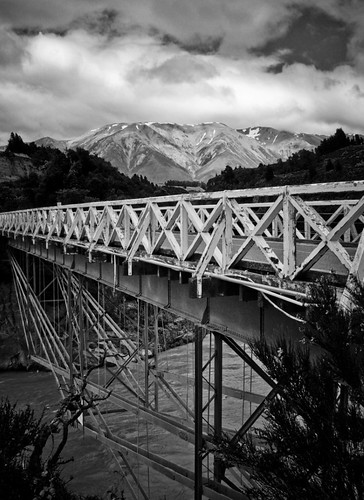
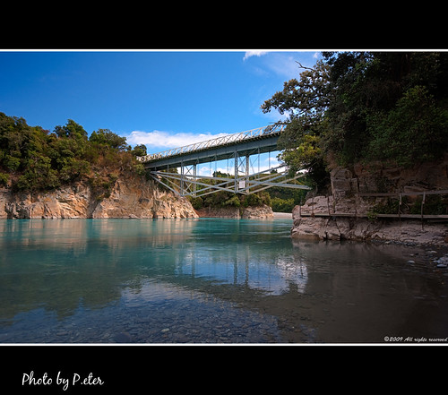
bridge newzealand mountain lake snow nature beautiful beauty river landscape scenery pretty wildlife nz flowing gushing rakaiagorge
Bridge at Rakaia Gorge, New Zealand
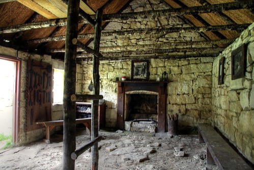
old newzealand house building abandoned home stone century rural decay colonial cottage canterbury limestone restored gorge quarry 19th ashburton mtsomers oldandbeautiful oncewashome
Old house, Ashburton Gorge Road, Mt Somers District, Canterbury, New Zealand
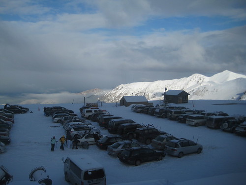
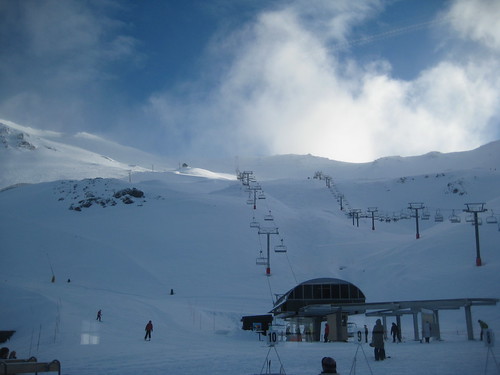
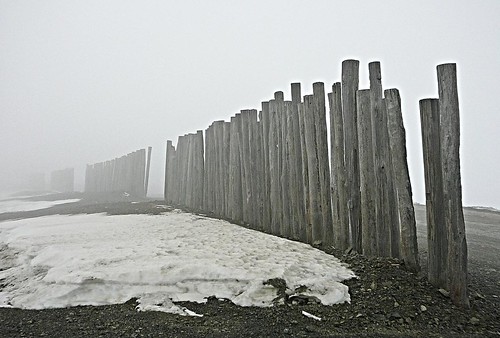
snow storm rain fog night day cloudy clear
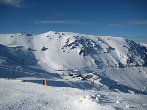
View From Ski Lodge @ Mount Hutt Ski Resort, New Zealand
winter newzealand geotagged snowboarding powder 2008 mounthutt geo:lat=43491475 geo:lon=17152997
Mt Hutt Powder Day
newzealand southisland mthutt canon500d methven geo:country=newzealand canterburyregion img0496507a
Mt Hutt view (ii)
newzealand southisland mthutt canon500d methven geo:country=newzealand canterburyregion img013847a
Mt Hutt view (i)
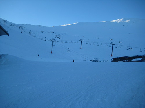
snow storm rain fog night day cloudy clear
The Chairlifts & Morning Clouds While Skiing @ Mount Hutt Ski Resort, New Zealand
The Chairlifts @ Mount Hutt Ski Resort, New Zealand
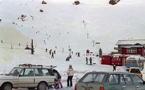
newzealand people holiday skiing outdoor canterbury mounthutt
Mount Hutt Skifield
View Of The Ski Lodge At The Bottom From The Top of the Beginners' Hill While Skiing @ Mount Hutt Ski Resort, New Zealand
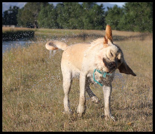
newzealand dog pet male water drops lab labrador action tail ears turbo waterdrops shaking goldenlabrador rdr rangitata canterburynz views25pool reveley somerslea rangitatadiversionrace under35 twtmesh090832 mareeareveley
Drying Off
winter newzealand mountains geotagged snowboarding southernalps 2007 mounthutt geo:lat=43494402 geo:lon=171539497
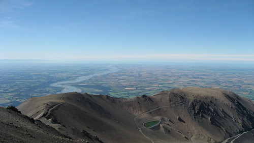
View from Mt Hutt
winter newzealand mountain snow canon skiing lift cable canterbury dslr chairlift mthutt 400d canonef2485mmf3545usm
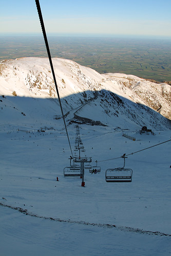
Mt Hutt lift
newzealand mountainbike mtb mounthutt
View from Mount Hutt
winter newzealand geotagged snowboarding powder 2008 mounthutt geo:lat=43491942 geo:lon=171527309
Mt Hutt Powder Day
street trees newzealand sky snow signs mountains cars architecture clouds buildings pub shadows southisland midcanterbury methven brownpub mthut
View of Mt Hut
newzealand panorama landscape canterbury material technique hdr rakaiagorge photomatix tonecompression nikond90 highpasssharpened mygearandmepremium mygearandmebronze mygearandmesilver
Rakaia Gorge bridge
square lofi squareformat iphoneography instagramapp uploaded:by=instagram foursquare:venue=4c6f03c9df6b8cfa5eecb34d
One of the most striking views I have seen in my life!! #SouthIsland, #NewZealand
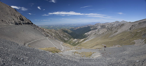
snow geotagged break wind canterbury nz mthutt accessroad skifield p1070906a geo:lat=43517143 geo:lon=171551066
the expected standard
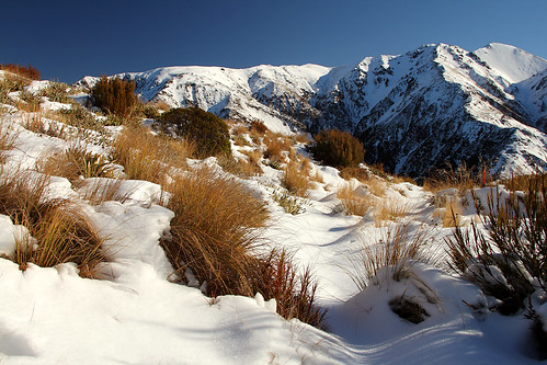
winter newzealand mountain snow canon canterbury dslr polariser 400d canonef2485mmf3545usm
Mt Hutt Range
newzealand canterbury staveley
Heading Home final Sun rays
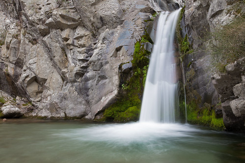
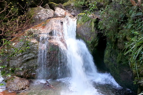
longexposure newzealand water landscape waterfall canterbury le
Woolshed Creek Falls
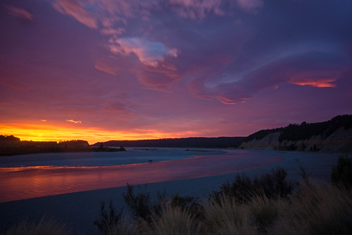
pink light newzealand cloud water sunrise river licht wasser wolke canterbury lila nz fluss sonnenaufgang neuseeland rakaia morgenrot 2014 purpur morningdawn dorenawm renatedodell rakaiagorgeriver
Welcome cocktail at Rakaia Gorge River – Canterbury, New Zealand
Out to pasture
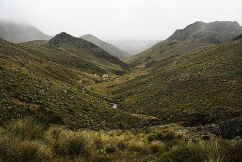
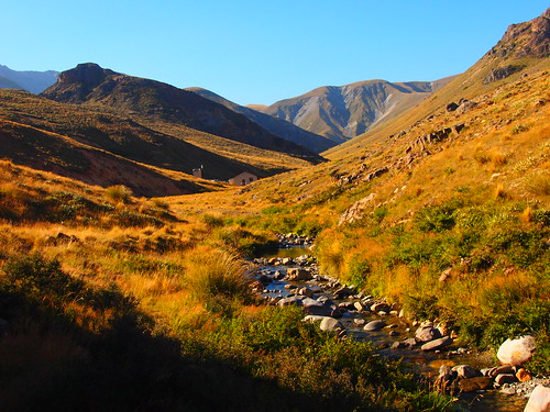
2010 newzealand nuevazelanda novazelândia landscape paisaje paisagem fall autumn outono otoño valleys vales valles mist neblina lowcloud nuvensbaixas nubesbajas creek riachos riachuelos huts cabañas cabanas tramping hiking caminhadas tussocks hierba ervasaltas mountains montañas montanhas
Woolshed Creek Hut, Mt Somers Track, Canterbury High Country, New Zealand, Apr 2010
2013-10-03 18.32.58
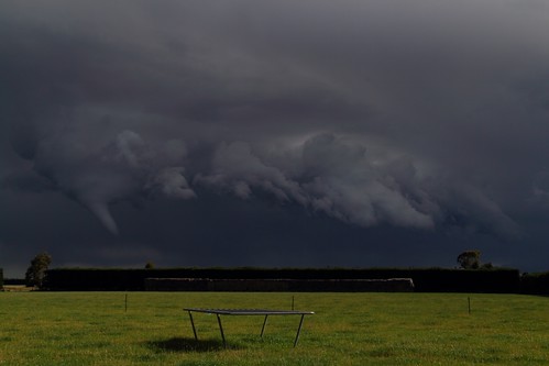
newzealand january canterbury thunderstorm twister tornado funnel mayfield whirlwind funnelcloud 2013 reveley somerslea january2013
IMG_1392 (1024x683)
2014-04-13 10.56.57
2014-04-13 10.24.43
2013-10-03 19.05.03
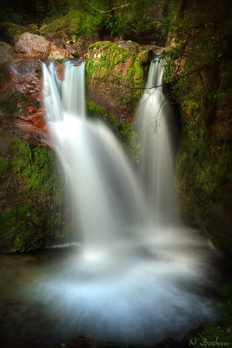
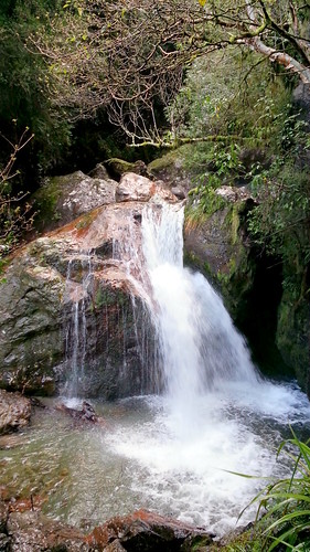
newzealand water canon waterfall canterbury dslr hdr mtsomers polariser sharplinfalls staveley 400d canonef2485mmf3545usm
Sharplin Falls
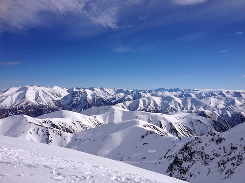
newzealand snow mountains snowboarding skiing pentax pano panoramic nz kiwi tamron mountainrange skifield k30 tamron1750mm 100newzealand pentaxk30
Mount Hutt Summit
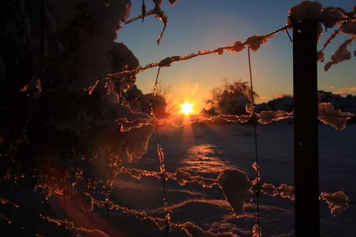
winter newzealand snow june sunrise canon fence landscape eos dawn canterbury nz southisland canoneos mtsomers 0views canterburynz reveley somerslea mountsomers 40d eos40d canoneos40d canon40d mareeareveley
Chilly Dawn
2013-10-03 18.33.56
2014-04-13 10.40.41
2014-04-13 10.25.29
Top 100 2010 P3095893 2010 Favorita 41
newzealand 11kmwofmethven
img_3842.jpg
uploaded:by=flickrmobile flickriosapp:filter=nofilter
My Hutt 2013