Elevation of Winterslow Rd, Staveley, New Zealand
Location: New Zealand > Canterbury > Staveley >
Longitude: 171.456619
Latitude: -43.621414
Elevation: 422m / 1385feet
Barometric Pressure: 96KPa
Elevation Map:
Satellite Map:
Related Photos:

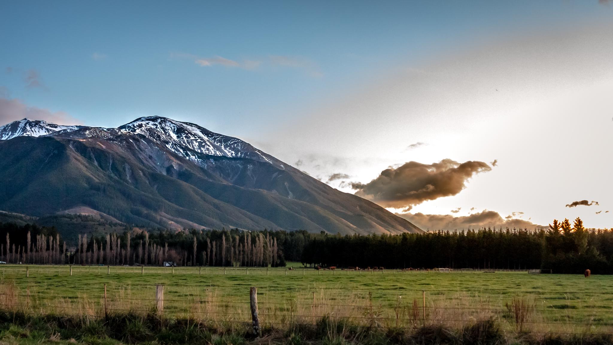
Old house, Ashburton Gorge Road, Mt Somers District, Canterbury, New Zealand
One of the most striking views I have seen in my life!! #SouthIsland, #NewZealand
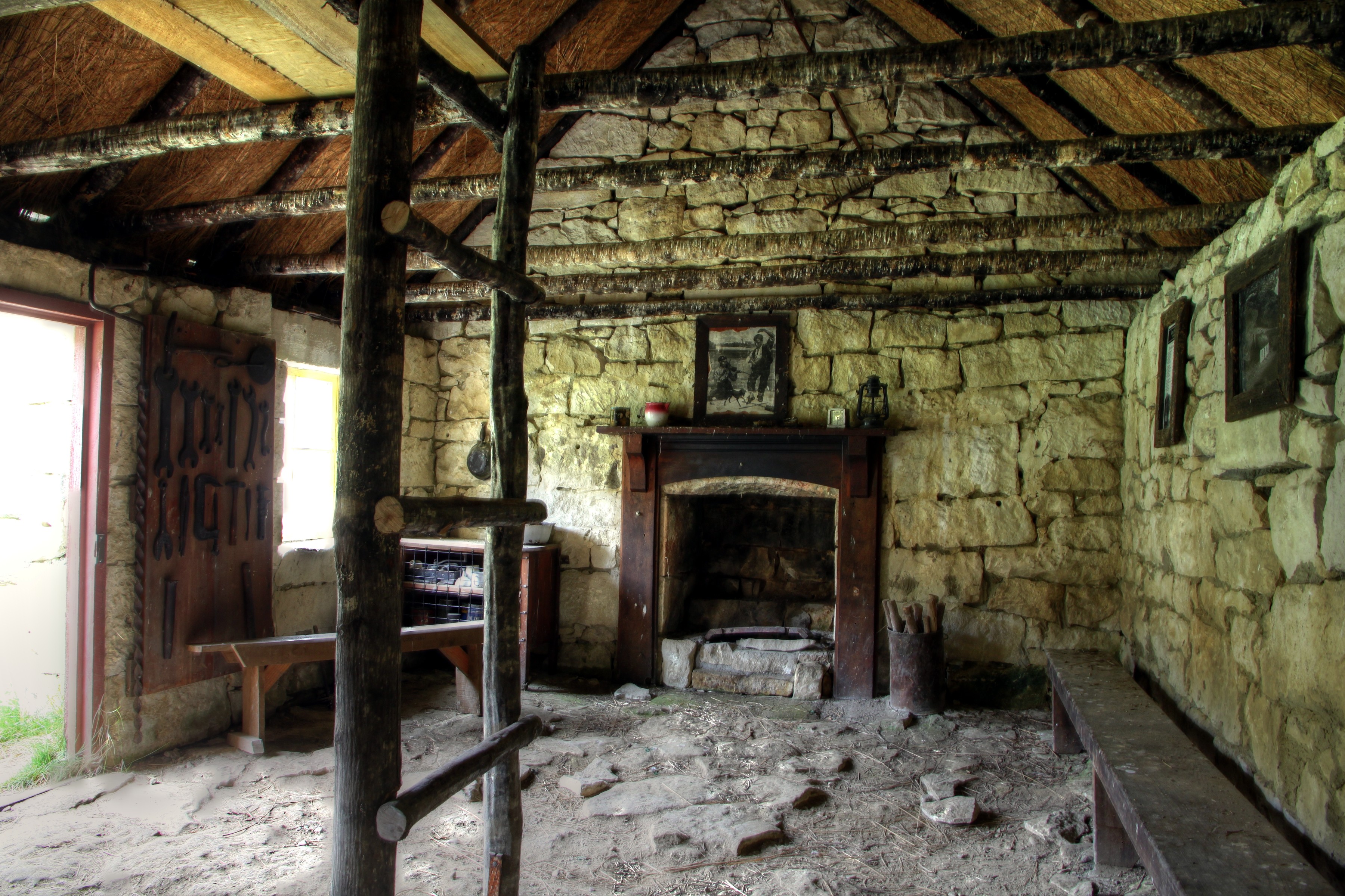
Old house, Ashburton Gorge Road, Mt Somers District, Canterbury, New Zealand
the expected standard
Drying Off
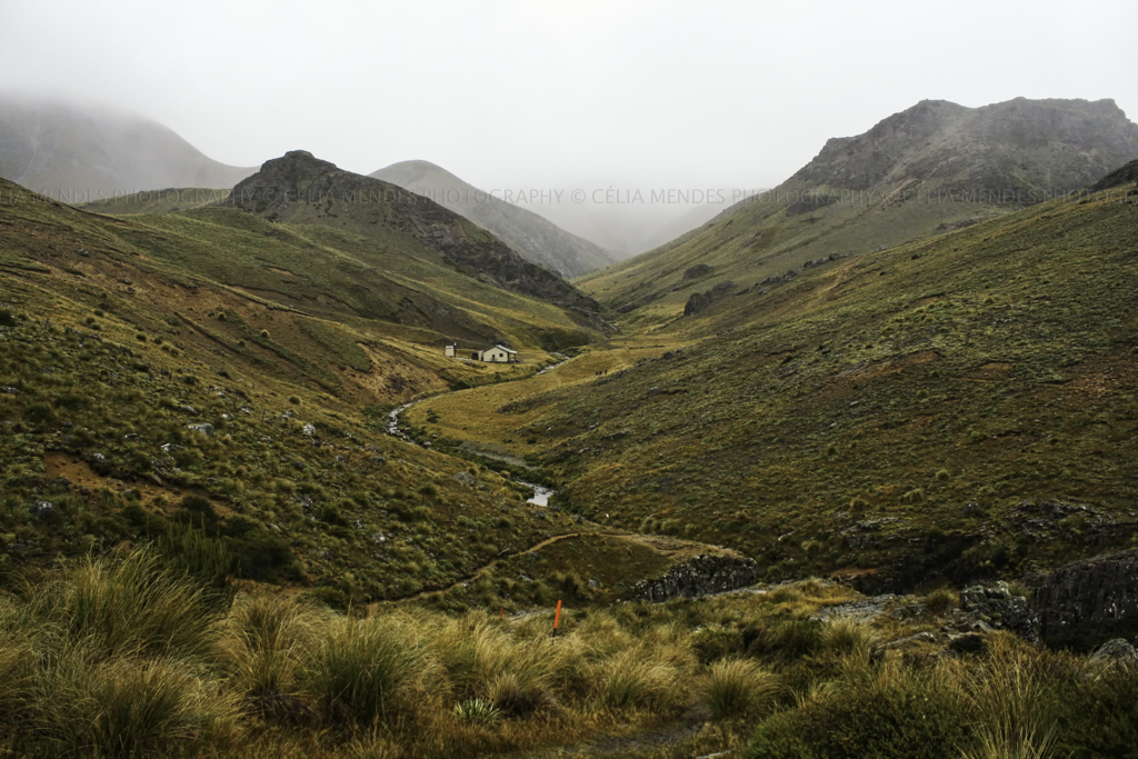
summit views - Mt Somers walkway Canterbury New Zealand

Mt Hutt Range

View from Woolshed Peak - Mt Somers walkway Canterbury New Zealand
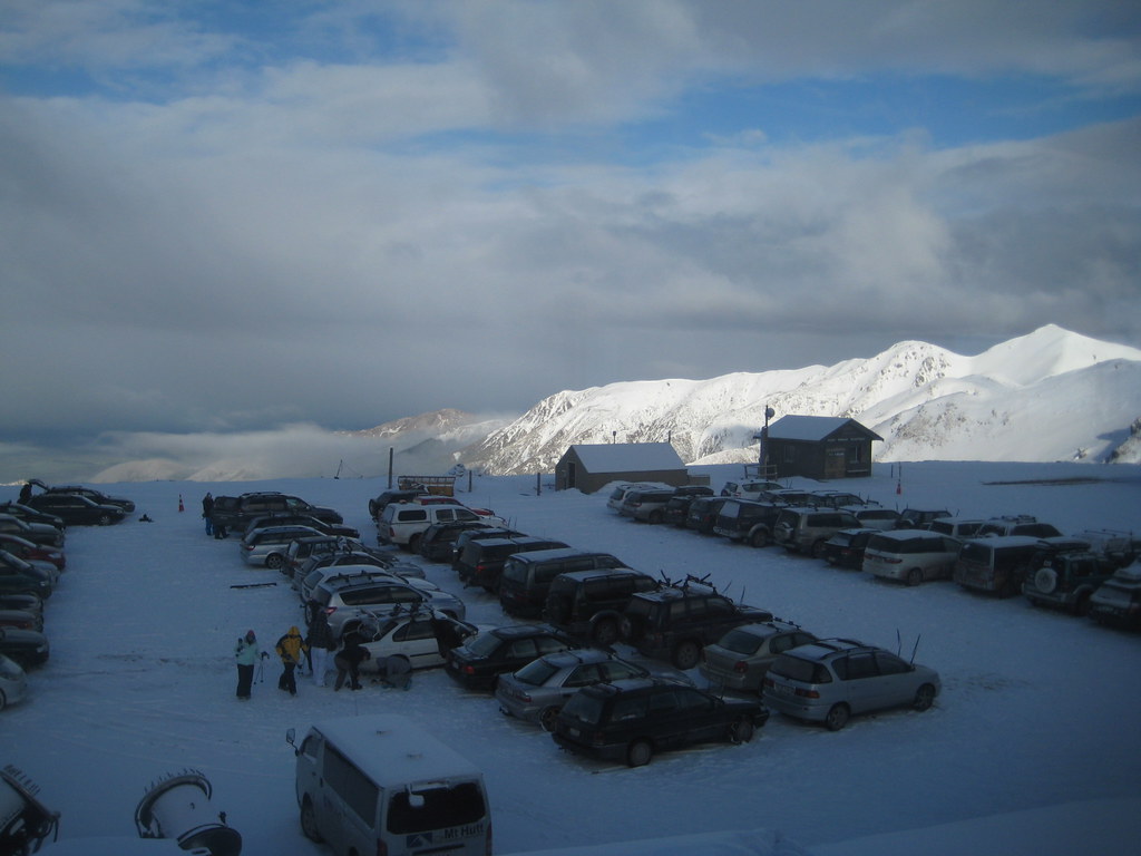
View From Ski Lodge @ Mount Hutt Ski Resort, New Zealand

Mt Hutt Powder Day
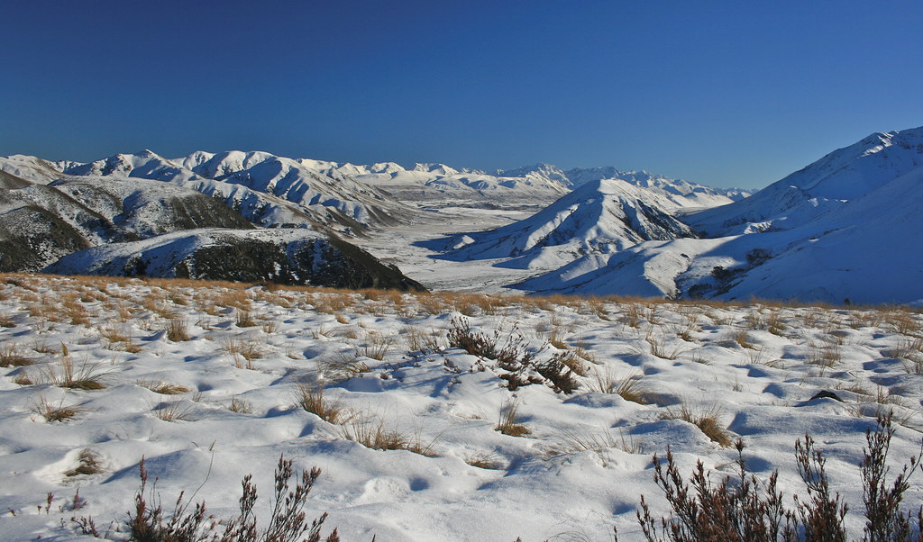
View from the summit - Mt Somers walkway Canterbury New Zealand
view from the summit - Mt Somers walkway Canterbury New Zealand
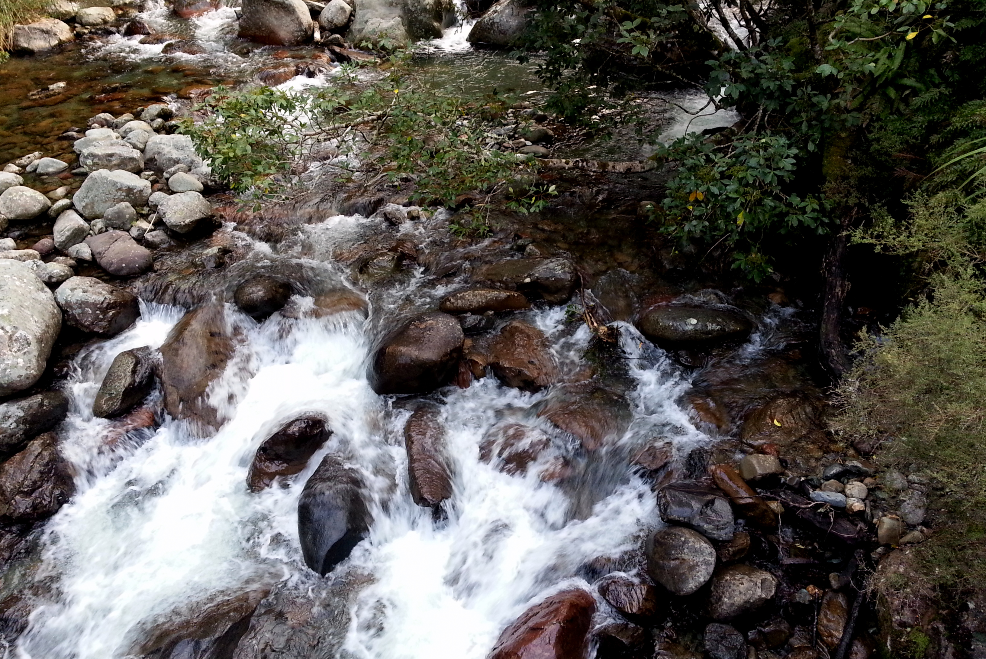
Pudding Hill Stream Route

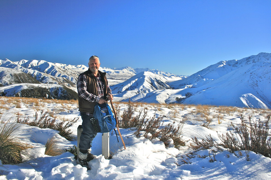
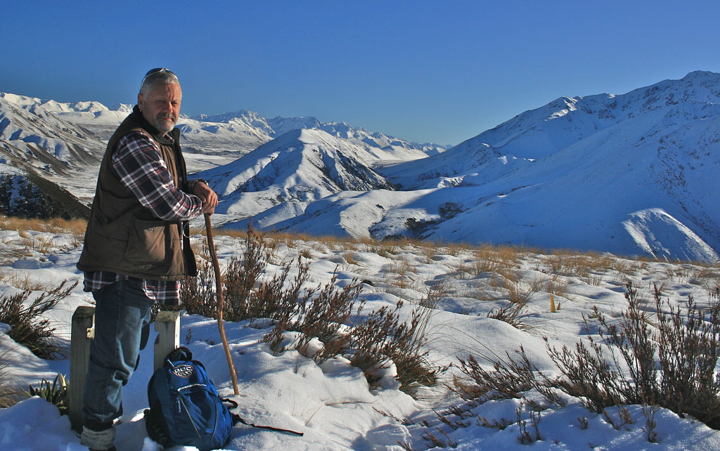
summit views Mt Somers walkway Canterbury New Zealand
summit views - Mt Somers walkway Canterbury New Zealand
Mt Hutt view (ii)
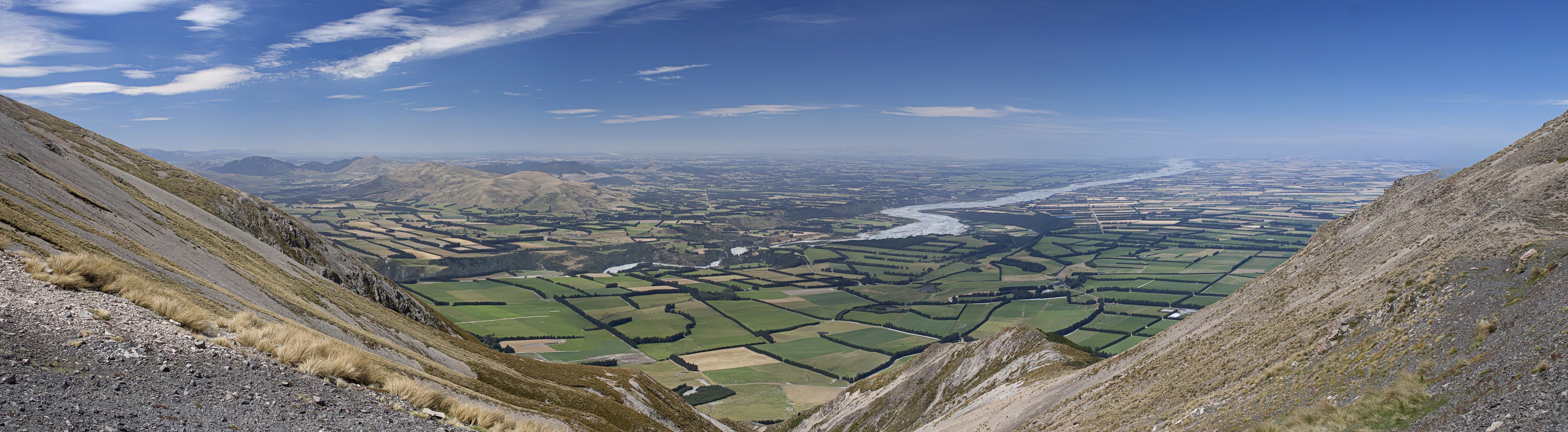
Canterbury plains
in clear view

The Chairlifts & Morning Clouds While Skiing @ Mount Hutt Ski Resort, New Zealand

Mt Hutt view (i)

View Of The Ski Lodge At The Bottom From The Top of the Beginners' Hill While Skiing @ Mount Hutt Ski Resort, New Zealand
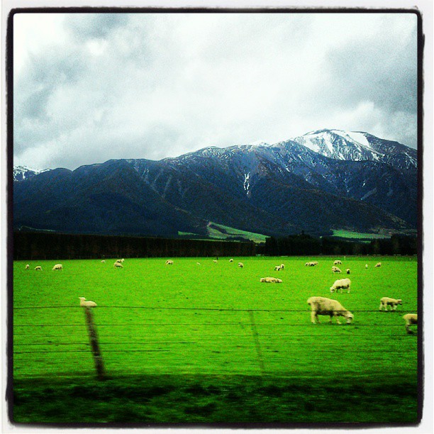
Out to pasture
Heading Home final Sun rays
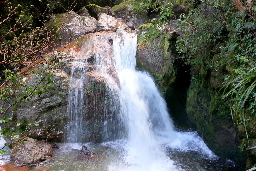
Woolshed Creek Falls
Woolshed Creek Hut, Mt Somers Track, Canterbury High Country, New Zealand, Apr 2010

Mount Hutt Summit

IMG_1392 (1024x683)

2014-04-13 10.56.57
2013-10-03 19.05.03

2014-04-13 10.24.43
Chilly Dawn
2013-10-03 18.32.58
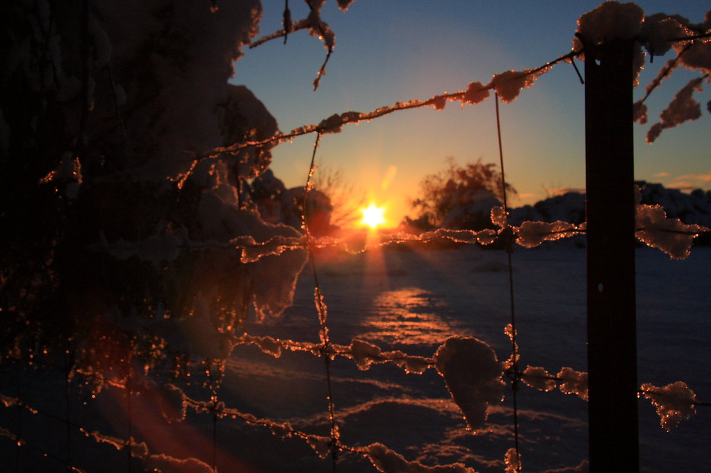
Methven Sunrise-3
New_Zealand: (img_0233)
Methven Sunrise-5
Methven Sunrise-7

2014-04-13 10.25.29

2014-04-13 10.40.41

Top 100 2010 P3095893 2010 Favorita 41
Christchurch to Mt Hutt-4

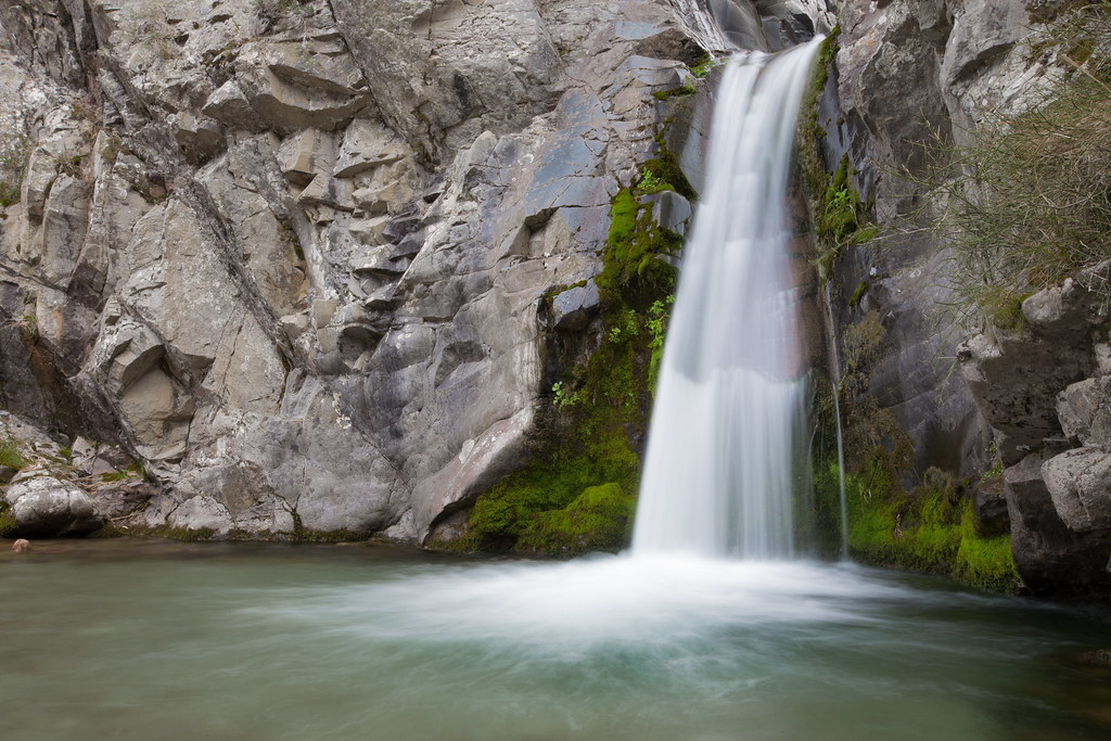
Sharplin Falls, Staverley
Topographic Map of Winterslow Rd, Staveley, New Zealand
Find elevation by address:

Places near Winterslow Rd, Staveley, New Zealand:
Staveley
Alford Forest
Arundel Rakaia Gorge Road
Ashburton District
Mount Somers
59 Pattons Road
122 Ashburton Gorge Road
Canterbury
Carew
Carew Peel Forest School
Mount Harper
Rangitata
State Highway 1
Geraldine
Timaru District
35 Mount Michael Rd
Ashwick Flat
185 Ashwick Flat Rd
11 Tasman St
Oceanview
Recent Searches:
- Elevation of Corso Fratelli Cairoli, 35, Macerata MC, Italy
- Elevation of Tallevast Rd, Sarasota, FL, USA
- Elevation of 4th St E, Sonoma, CA, USA
- Elevation of Black Hollow Rd, Pennsdale, PA, USA
- Elevation of Oakland Ave, Williamsport, PA, USA
- Elevation of Pedrógão Grande, Portugal
- Elevation of Klee Dr, Martinsburg, WV, USA
- Elevation of Via Roma, Pieranica CR, Italy
- Elevation of Tavkvetili Mountain, Georgia
- Elevation of Hartfords Bluff Cir, Mt Pleasant, SC, USA