Elevation map of Mount Harper, Canterbury, New Zealand
Location: New Zealand > Canterbury > Ashburton Lakes >
Longitude: 171.051666
Latitude: -43.658333
Elevation: 1820m / 5971feet
Barometric Pressure: 81KPa
Elevation Map:
Satellite Map:
Related Photos:
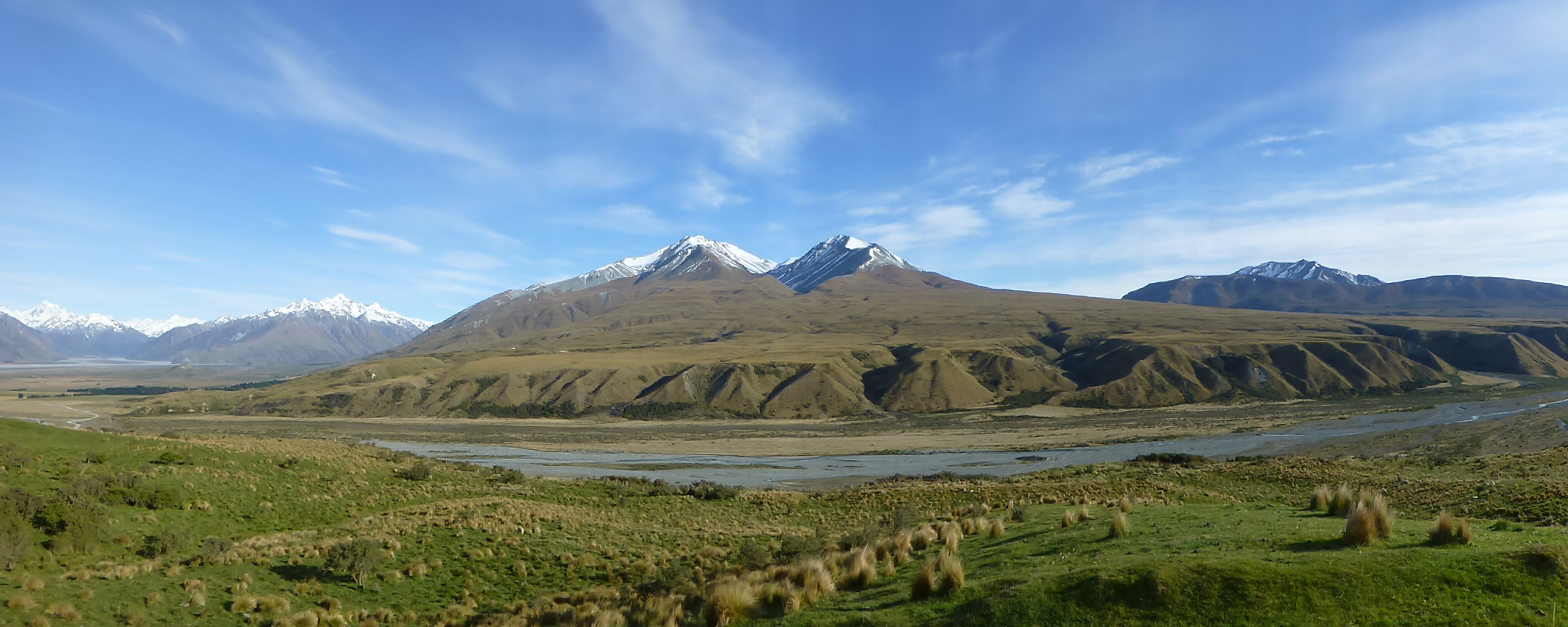
View from Mt Potts, Canterbury NZ
Edoras (Mount Sunday)
Topographic Map of Mount Harper, Canterbury, New Zealand
Find elevation by address:

Places near Mount Harper, Canterbury, New Zealand:
Canterbury
122 Ashburton Gorge Road
Mount Somers
59 Pattons Road
Ashburton District
Staveley
Arundel Rakaia Gorge Road
Ashwick Flat
362 Winterslow Rd
185 Ashwick Flat Rd
35 Mount Michael Rd
Carew
Carew Peel Forest School
Alford Forest
Geraldine
Fairlie
State Highway 1
Rangitata
Timaru District
Gammack
Recent Searches:
- Elevation of Corso Fratelli Cairoli, 35, Macerata MC, Italy
- Elevation of Tallevast Rd, Sarasota, FL, USA
- Elevation of 4th St E, Sonoma, CA, USA
- Elevation of Black Hollow Rd, Pennsdale, PA, USA
- Elevation of Oakland Ave, Williamsport, PA, USA
- Elevation of Pedrógão Grande, Portugal
- Elevation of Klee Dr, Martinsburg, WV, USA
- Elevation of Via Roma, Pieranica CR, Italy
- Elevation of Tavkvetili Mountain, Georgia
- Elevation of Hartfords Bluff Cir, Mt Pleasant, SC, USA