Elevation of Mount Somers, New Zealand
Location: New Zealand > Canterbury >
Longitude: 171.400074
Latitude: -43.704312
Elevation: 379m / 1243feet
Barometric Pressure: 97KPa
Elevation Map:
Satellite Map:
Related Photos:

Old house, Ashburton Gorge Road, Mt Somers District, Canterbury, New Zealand
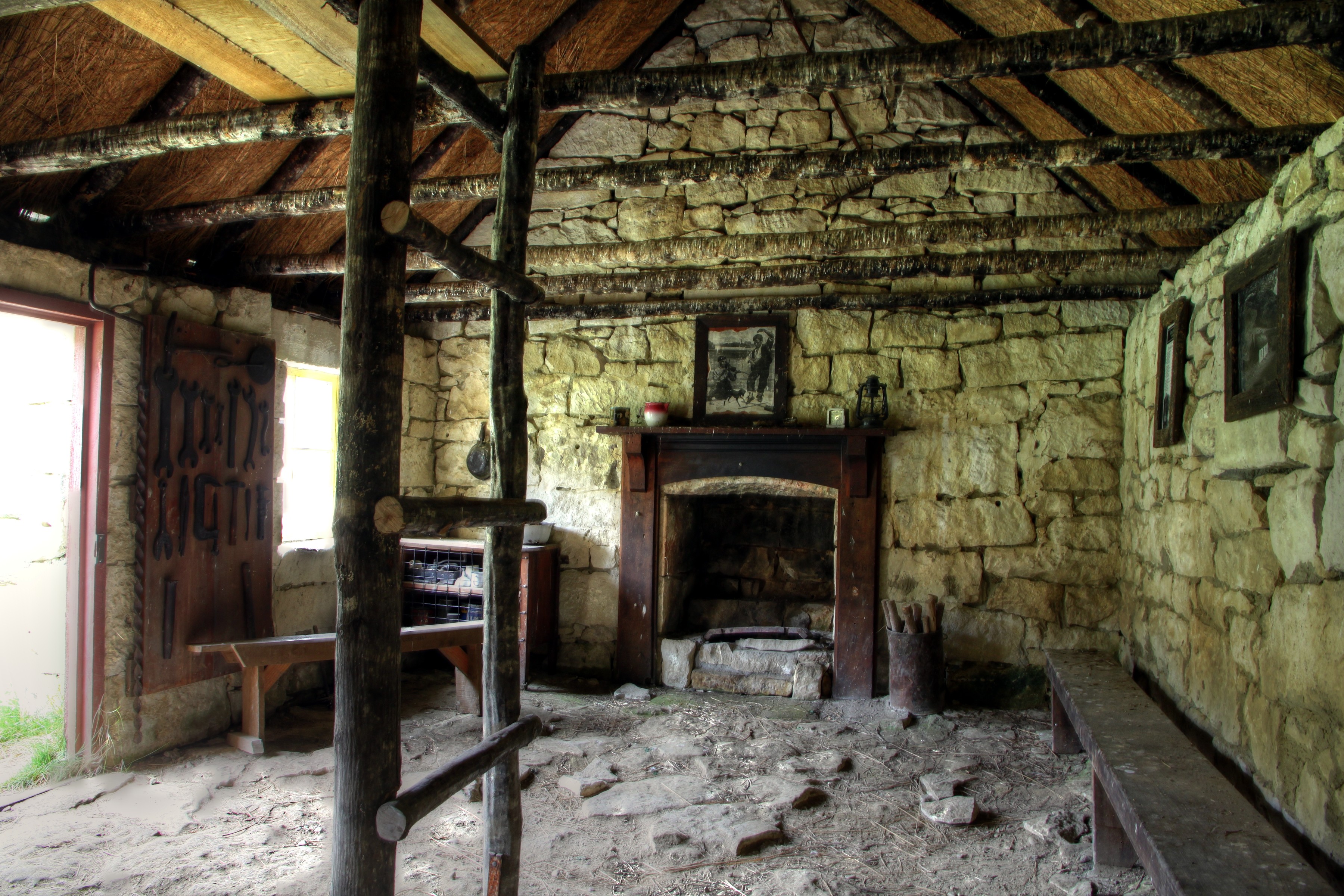
Old house, Ashburton Gorge Road, Mt Somers District, Canterbury, New Zealand

Drying Off
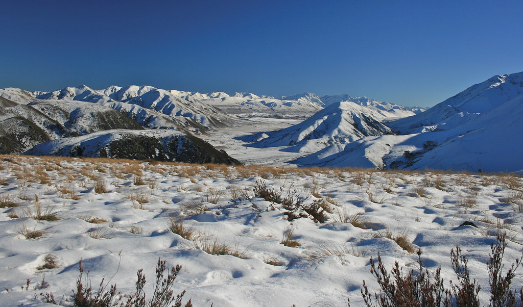
summit views - Mt Somers walkway Canterbury New Zealand

View from Woolshed Peak - Mt Somers walkway Canterbury New Zealand
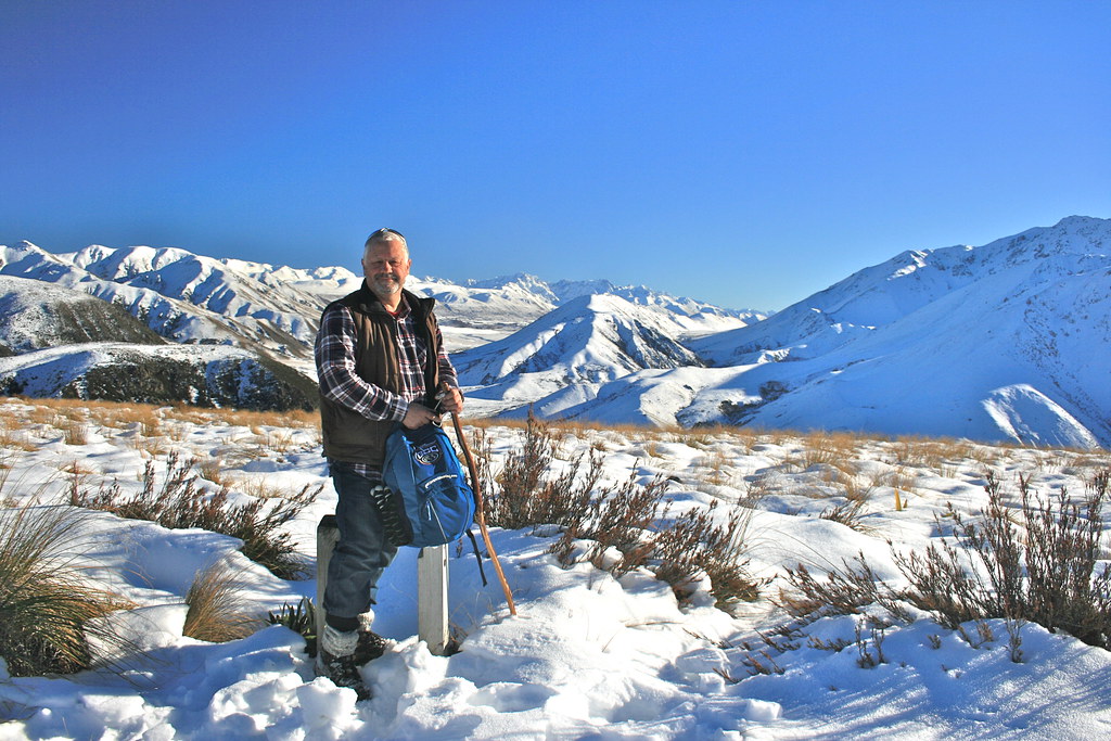
View from the summit - Mt Somers walkway Canterbury New Zealand
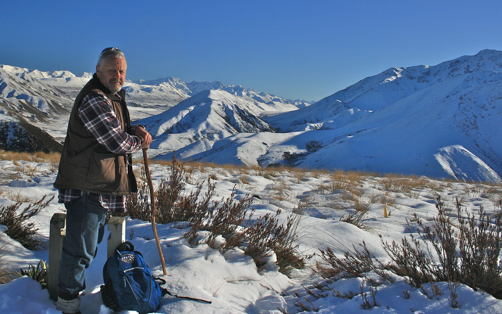
view from the summit - Mt Somers walkway Canterbury New Zealand

summit views Mt Somers walkway Canterbury New Zealand
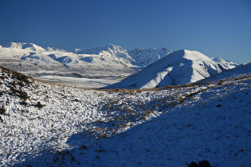
summit views - Mt Somers walkway Canterbury New Zealand
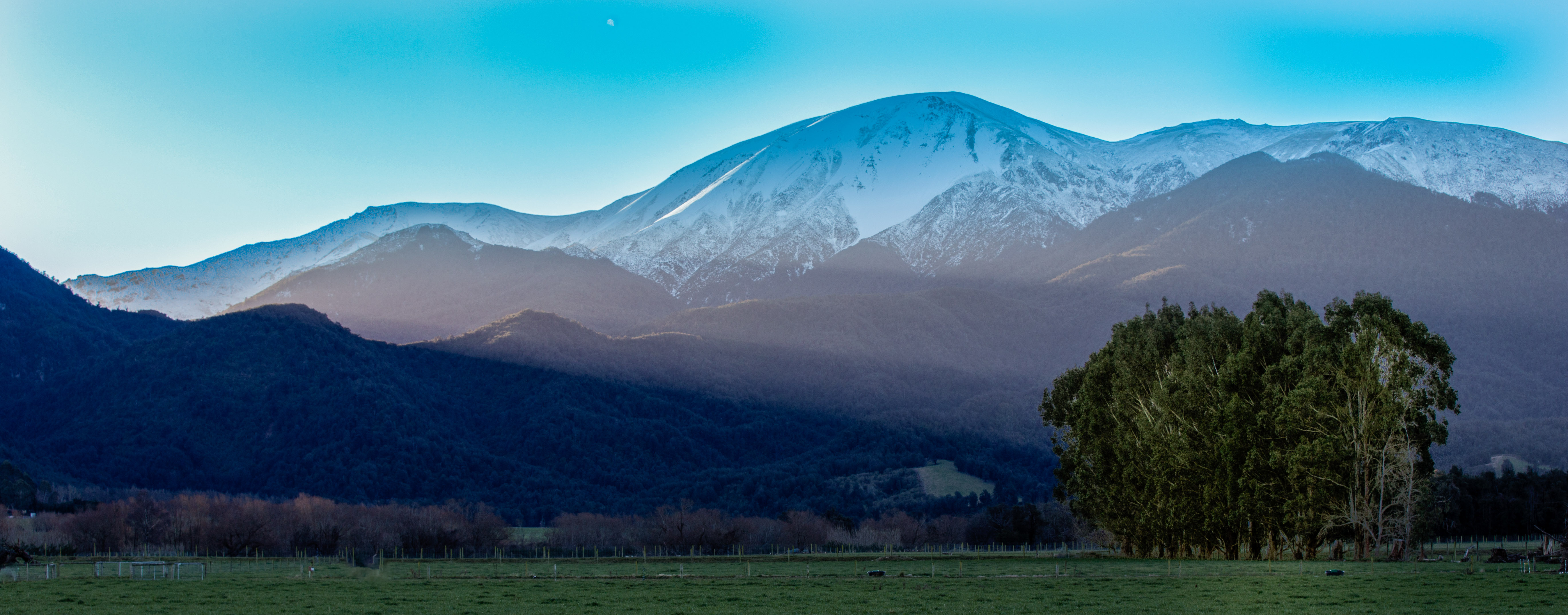
Heading Home final Sun rays
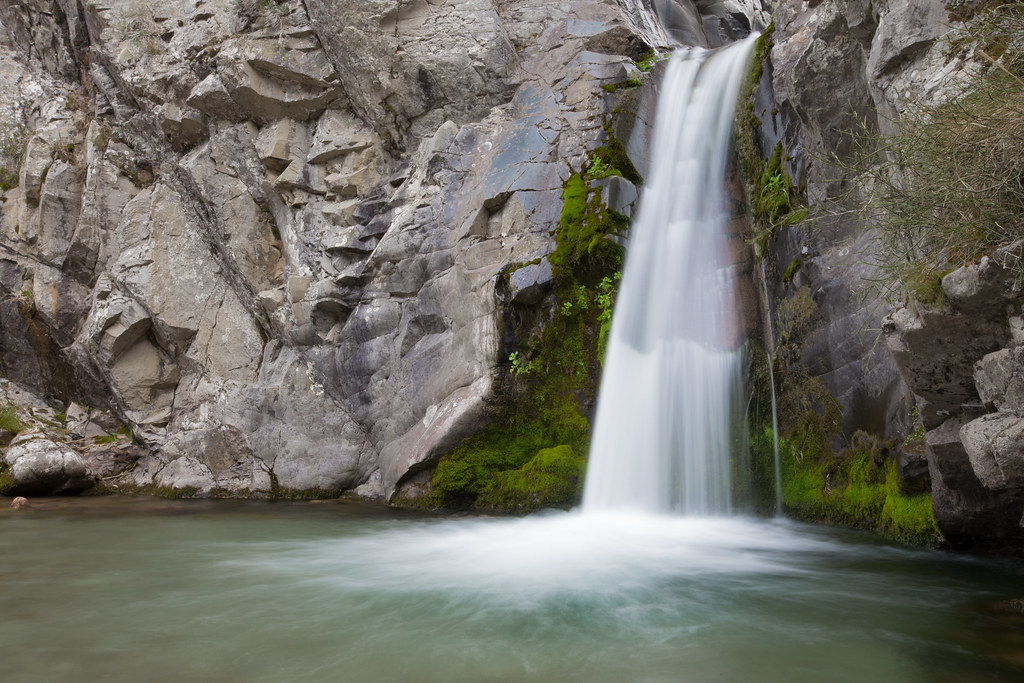
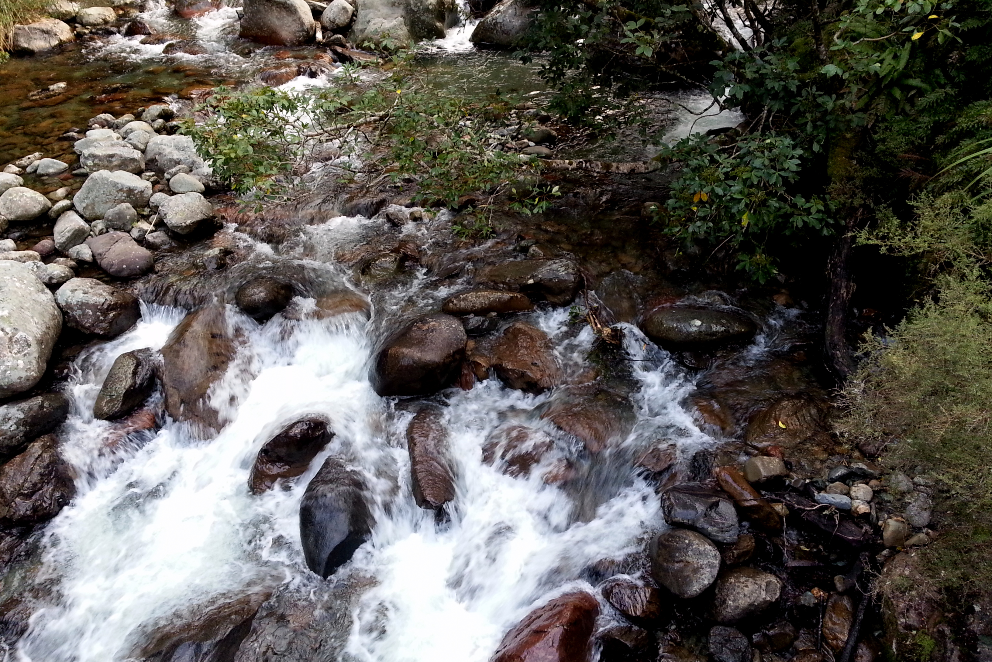
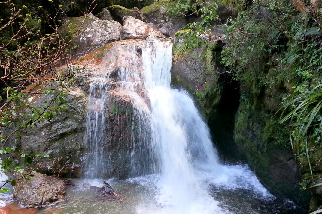
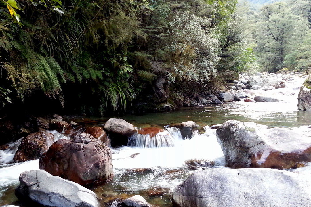
Woolshed Creek Falls
Woolshed Creek Hut, Mt Somers Track, Canterbury High Country, New Zealand, Apr 2010

IMG_1392 (1024x683)

2014-04-13 10.56.57
Out to pasture
2013-10-03 19.05.03

2014-04-13 10.24.43

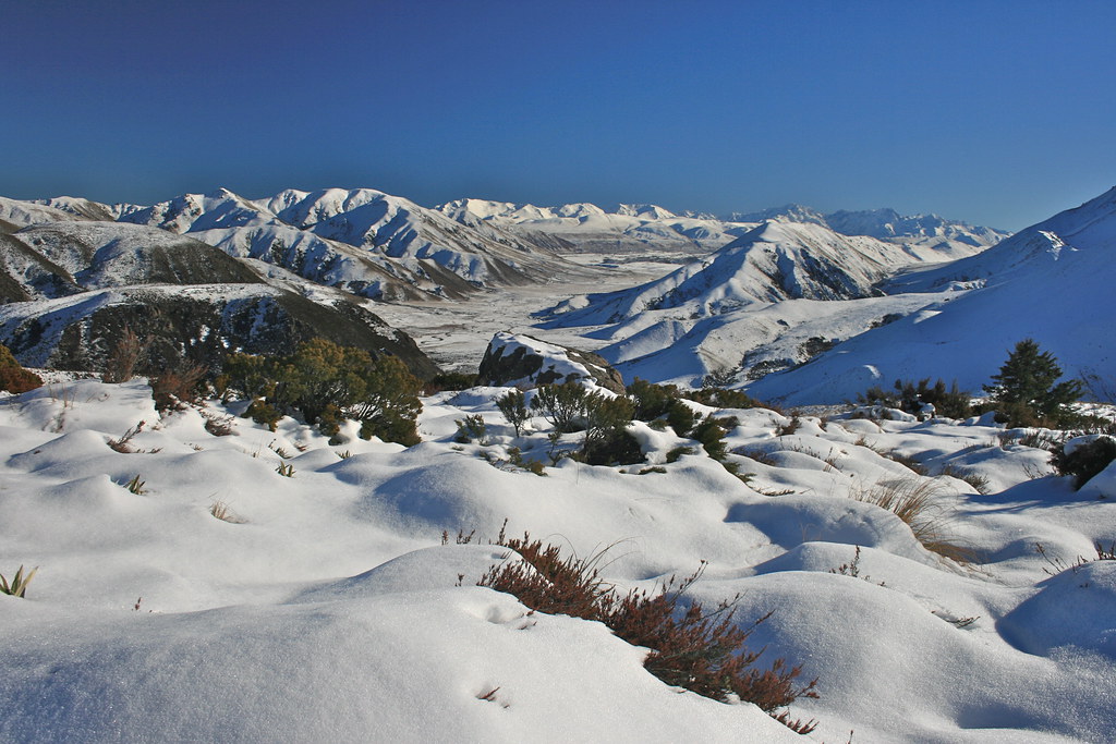
Chilly Dawn
2013-10-03 18.32.58
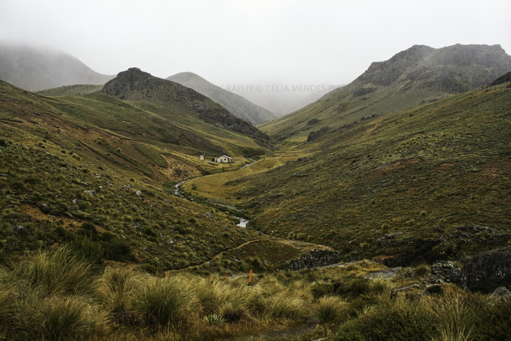
Gateway to Ashburton Lakes - Mt Somers walkway Canterbury New Zealand

2014-04-13 10.25.29

2014-04-13 10.40.41

Top 100 2010 P3095893 2010 Favorita 41

Sharplin Falls, Staverley

2014-04-13 10.28.17

2014-04-13 10.56.28
2013-10-03 18.08.21

2014-04-13 09.52.47

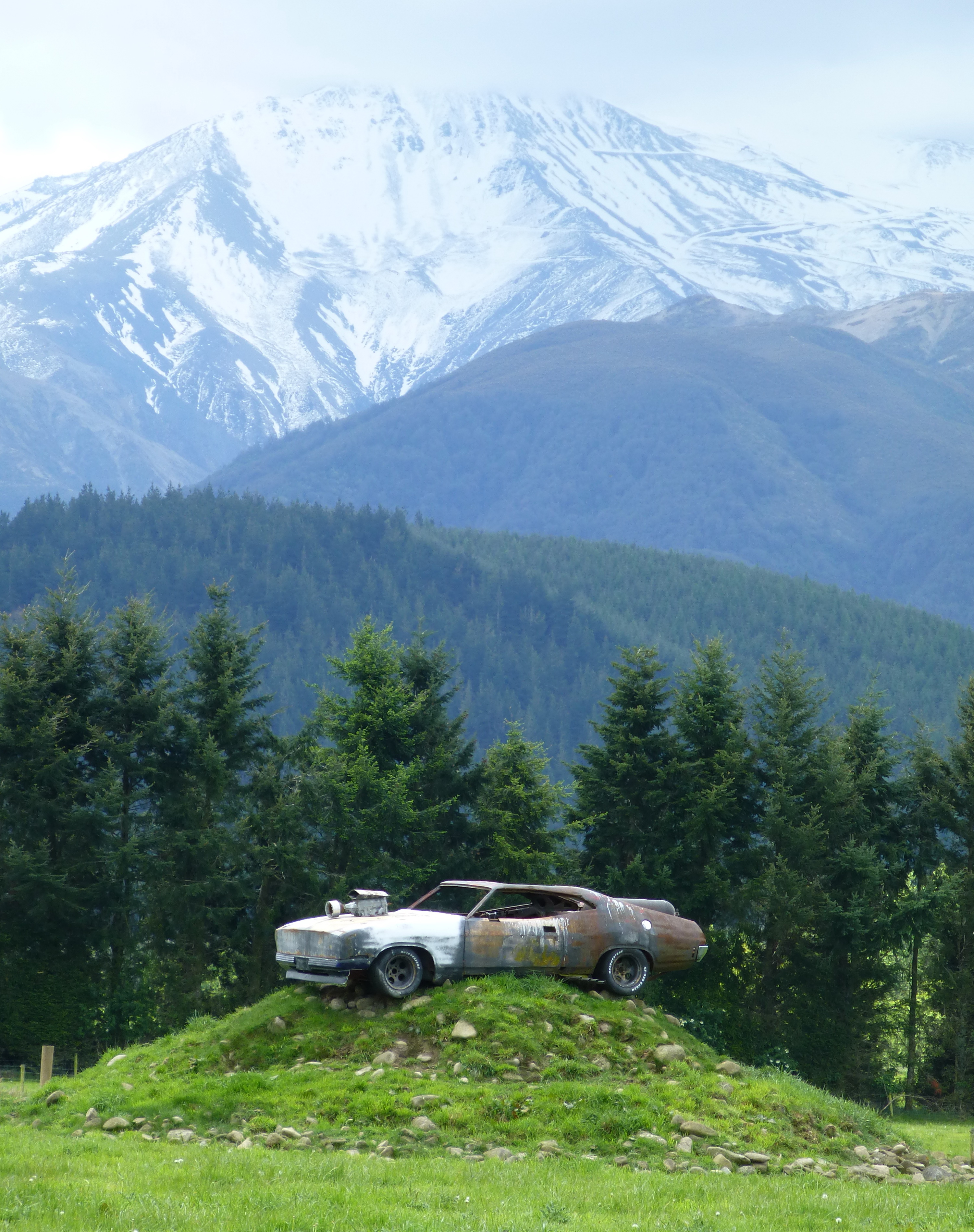
Datsun Bluebird

2013-10-03 18.33.56
Topographic Map of Mount Somers, New Zealand
Find elevation by address:

Places in Mount Somers, New Zealand:
Places near Mount Somers, New Zealand:
59 Pattons Road
122 Ashburton Gorge Road
Ashburton District
Arundel Rakaia Gorge Road
Staveley
362 Winterslow Rd
Alford Forest
Canterbury
Carew
Carew Peel Forest School
Mount Harper
Rangitata
State Highway 1
Geraldine
Timaru District
35 Mount Michael Rd
Ashwick Flat
185 Ashwick Flat Rd
11 Tasman St
Oceanview
Recent Searches:
- Elevation of Corso Fratelli Cairoli, 35, Macerata MC, Italy
- Elevation of Tallevast Rd, Sarasota, FL, USA
- Elevation of 4th St E, Sonoma, CA, USA
- Elevation of Black Hollow Rd, Pennsdale, PA, USA
- Elevation of Oakland Ave, Williamsport, PA, USA
- Elevation of Pedrógão Grande, Portugal
- Elevation of Klee Dr, Martinsburg, WV, USA
- Elevation of Via Roma, Pieranica CR, Italy
- Elevation of Tavkvetili Mountain, Georgia
- Elevation of Hartfords Bluff Cir, Mt Pleasant, SC, USA