Elevation of Rangitata, New Zealand
Location: New Zealand > Canterbury >
Longitude: 171.370611
Latitude: -44.066943
Elevation: 105m / 344feet
Barometric Pressure: 100KPa
Elevation Map:
Satellite Map:
Related Photos:

Old house, Orari, Canterbury, New Zealand
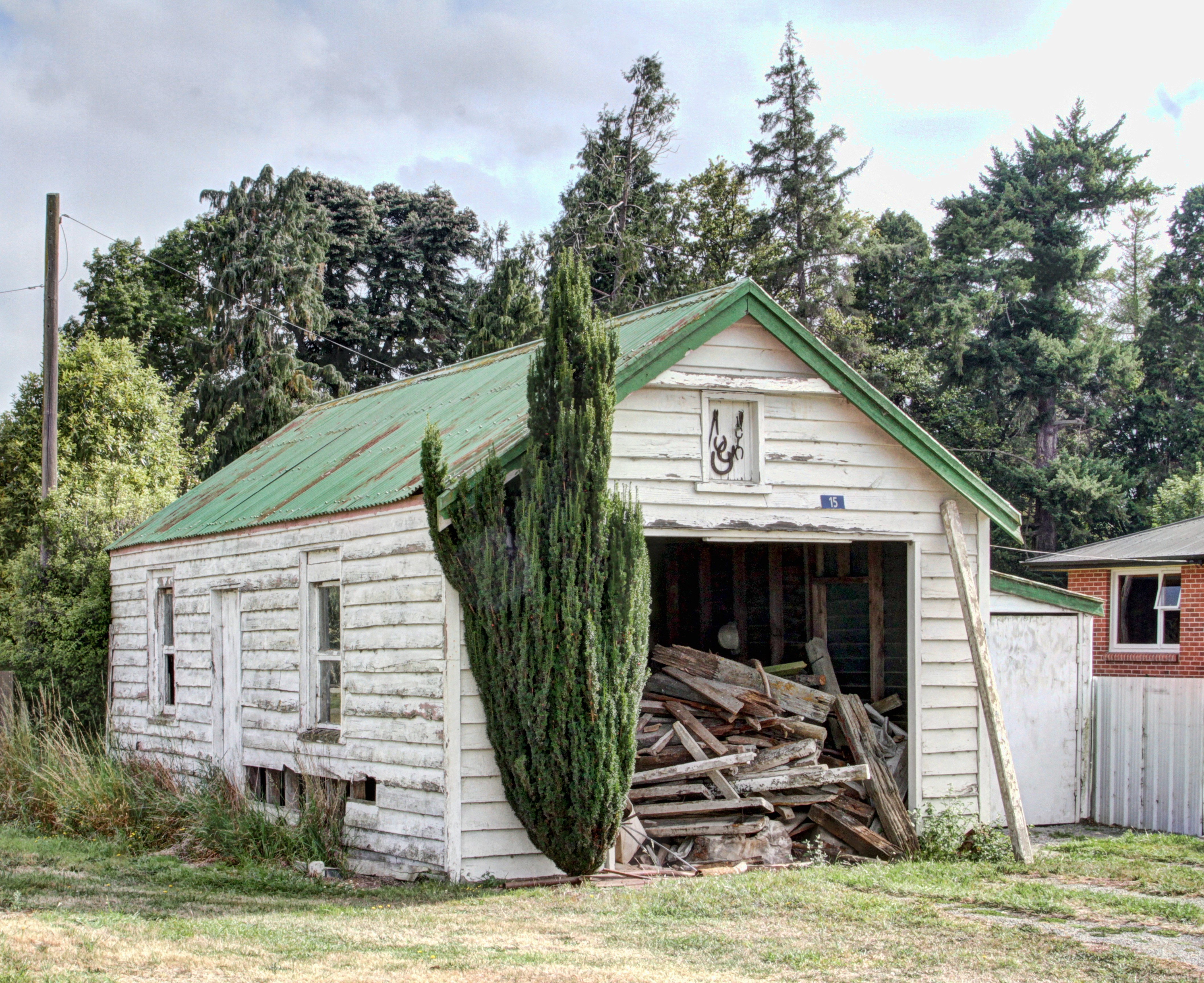
Old house, Orari, Canterbury, New Zealand

Orari River Bridge

Tekapo to Ashburton Road-16

Tekapo to Ashburton Road-15
1st look Southern Alps

Tekapo to Ashburton Road-17

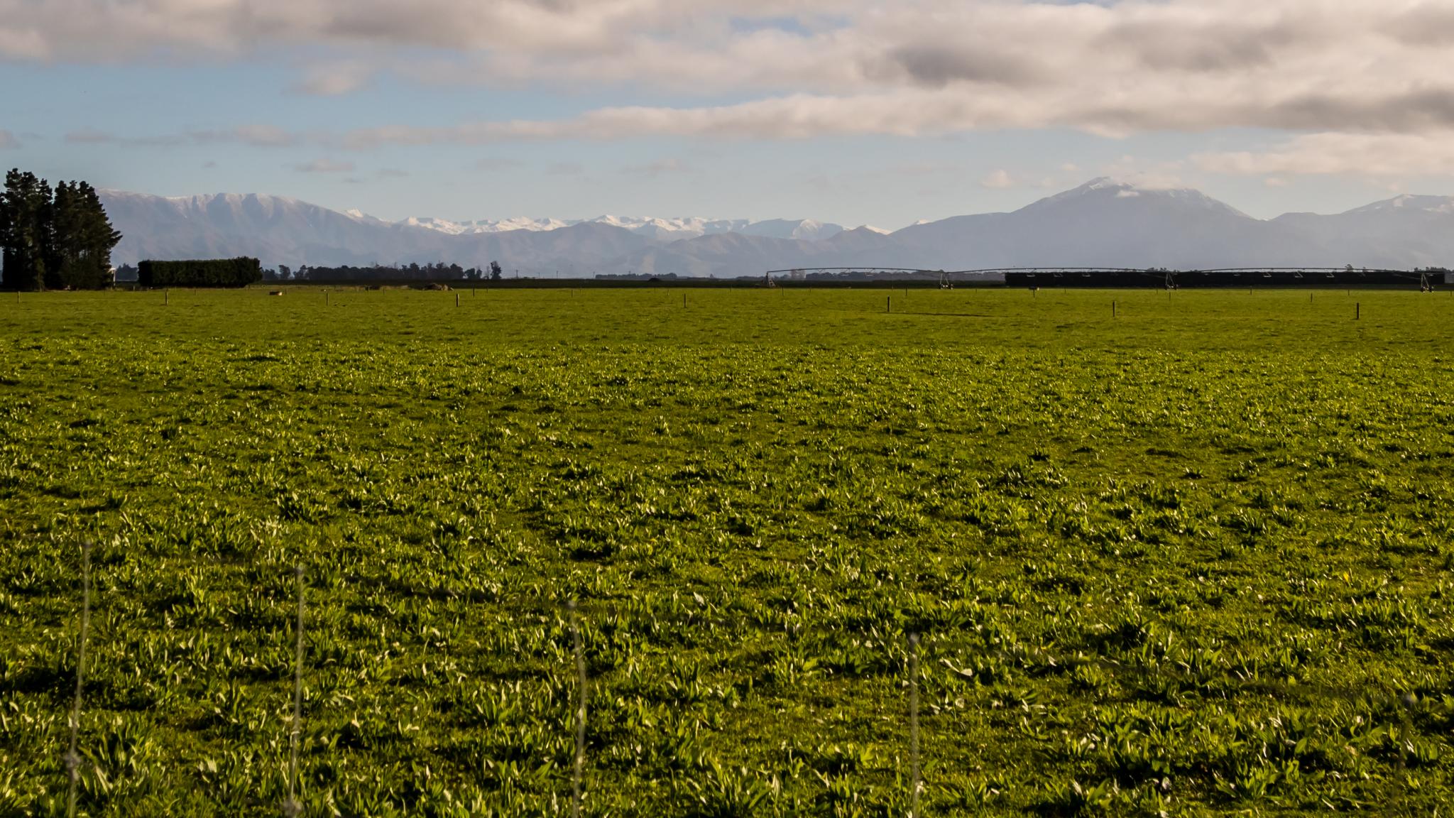
Travelling Irrigation
IMG_3672 - Version 2

Rustic Wall

Old house, Rangitata Island, Canterbury, New Zealand

The Remarkables, New Zealand

On our way out of Mt Cook national park we stopped at a sweet overlook and watched each other's backs as we took turns standing in the road. #mckaylive #newzealand #middleoftheroad #roadtosomewhere #vanishingpoint

#mountains MT Cook in the evening light. #Sony #A7RII with #70-200 at 70mm. #eveninglight #wanderlust #getoutstayout

South Island, New Zealand

Spring 1995, Landscaping

Tekapo to Ashburton Road-14

Not a bad first morning

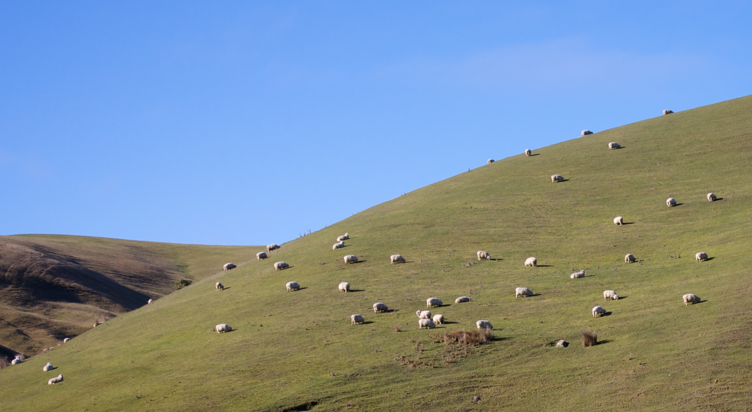
South Island, New Zealand

South Island, New Zealand

Spring 1995, Landscaping

Sep 1995 - No landscaping yet

NZ Bike Tour Day 15-16 Darfield to Geraldine.jpg
Topographic Map of Rangitata, New Zealand
Find elevation by address:

Places near Rangitata, New Zealand:
State Highway 1
Carew Peel Forest School
Carew
Geraldine
Timaru District
11 Tasman St
Oceanview
Waimataitai
21 Norwood St
14 Argyle St
Marchwiel
13 Pages Rd
13 Pages Rd
246 Selwyn St
Maori Hill
22 Lindsay St
72 Kent St
48 Kent Street
10 Wai-iti Rd
16 Wai-iti Rd
Recent Searches:
- Elevation of Corso Fratelli Cairoli, 35, Macerata MC, Italy
- Elevation of Tallevast Rd, Sarasota, FL, USA
- Elevation of 4th St E, Sonoma, CA, USA
- Elevation of Black Hollow Rd, Pennsdale, PA, USA
- Elevation of Oakland Ave, Williamsport, PA, USA
- Elevation of Pedrógão Grande, Portugal
- Elevation of Klee Dr, Martinsburg, WV, USA
- Elevation of Via Roma, Pieranica CR, Italy
- Elevation of Tavkvetili Mountain, Georgia
- Elevation of Hartfords Bluff Cir, Mt Pleasant, SC, USA