Elevation of Mount Taylor, Canterbury, New Zealand
Location: New Zealand > Canterbury > Alford Forest >
Longitude: 171.319166
Latitude: -43.5075
Elevation: 2318m / 7605feet
Barometric Pressure: 76KPa
Elevation Map:
Satellite Map:
Related Photos:

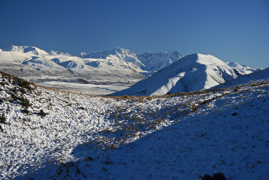
Arrowsmith Range from Lake Heron

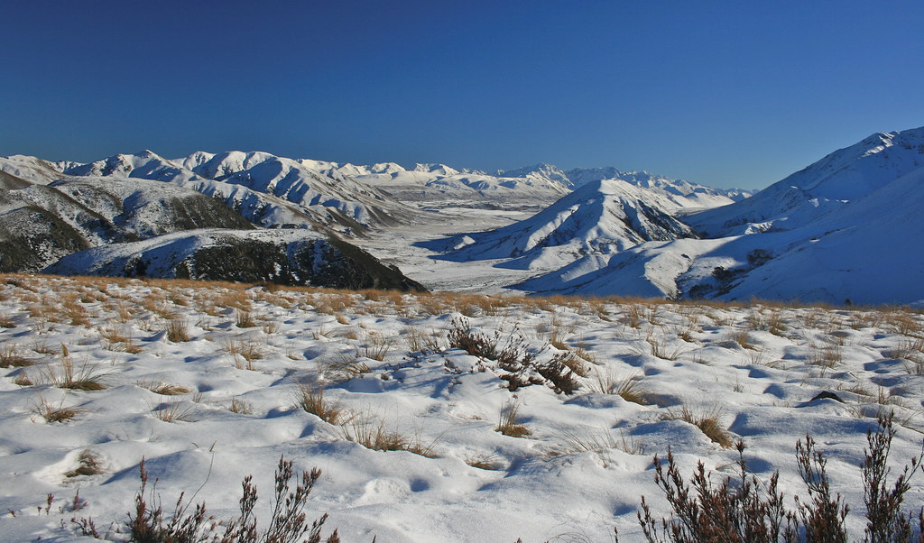
View from Woolshed Peak - Mt Somers walkway Canterbury New Zealand
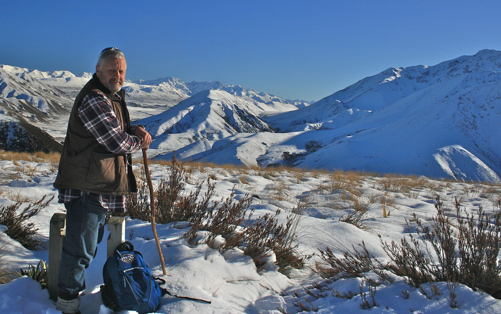
summit views - Mt Somers walkway Canterbury New Zealand

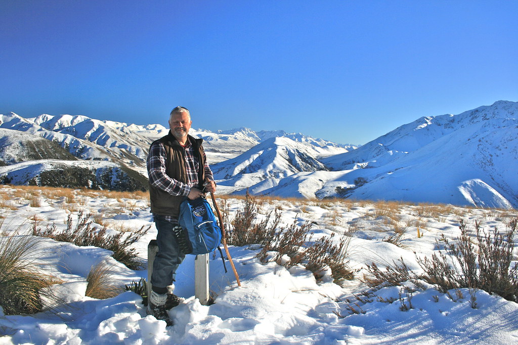
summit views Mt Somers walkway Canterbury New Zealand
summit views - Mt Somers walkway Canterbury New Zealand
view from the summit - Mt Somers walkway Canterbury New Zealand
View from the summit - Mt Somers walkway Canterbury New Zealand
Topographic Map of Mount Taylor, Canterbury, New Zealand
Find elevation by address:

Places near Mount Taylor, Canterbury, New Zealand:
Blackhill Range
Ashburton Lakes
Double Hill
Lake Coleridge
Mount Oakden
Rolleston Range
Mount Arrowsmith
Mount Williams
Mount Sunday
Bonds Peak
Mount Whitcombe
The Warrior
Ramsay
The Thumbs
Arthur's Pass
Newton Peak
Dorothy Falls Road
Dorothy Falls
150 Ford Rd
Mount Kensington
Recent Searches:
- Elevation of Corso Fratelli Cairoli, 35, Macerata MC, Italy
- Elevation of Tallevast Rd, Sarasota, FL, USA
- Elevation of 4th St E, Sonoma, CA, USA
- Elevation of Black Hollow Rd, Pennsdale, PA, USA
- Elevation of Oakland Ave, Williamsport, PA, USA
- Elevation of Pedrógão Grande, Portugal
- Elevation of Klee Dr, Martinsburg, WV, USA
- Elevation of Via Roma, Pieranica CR, Italy
- Elevation of Tavkvetili Mountain, Georgia
- Elevation of Hartfords Bluff Cir, Mt Pleasant, SC, USA