Elevation of Mount Williams, Canterbury, New Zealand
Location: New Zealand > Canterbury > Selwyn District > Rolleston Range >
Longitude: 171.188333
Latitude: -43.121666
Elevation: 2274m / 7461feet
Barometric Pressure: 77KPa
Elevation Map:
Satellite Map:
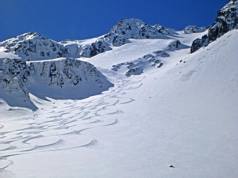
Related Photos:
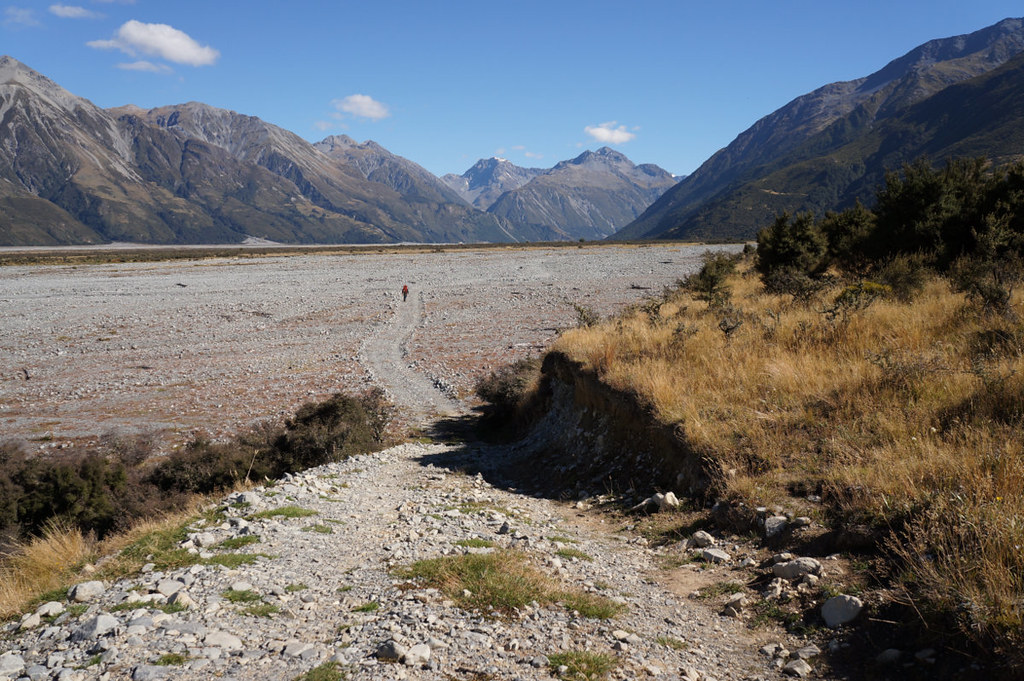
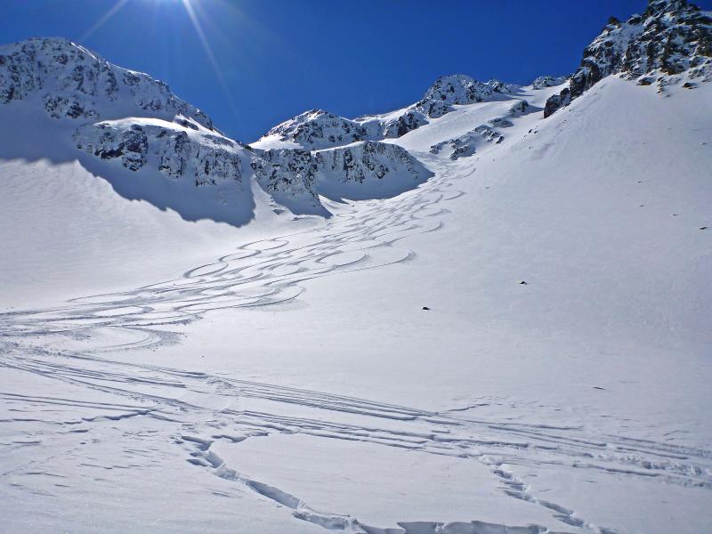
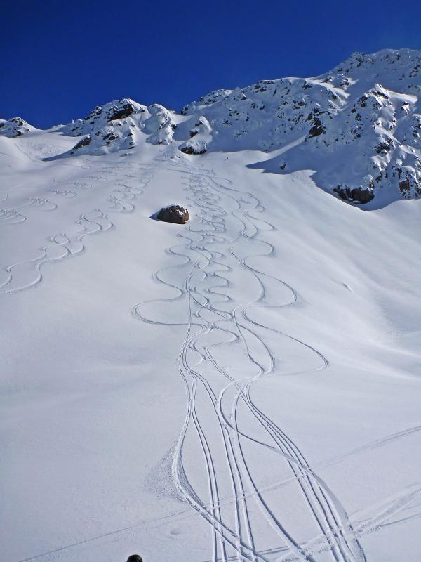
into the wild
NZ Heli 2012-09-13 137
NZ Heli 2012-09-13 151
last light
NZ Heli 2012-09-13 128
NZ Heli 2012-09-13 127
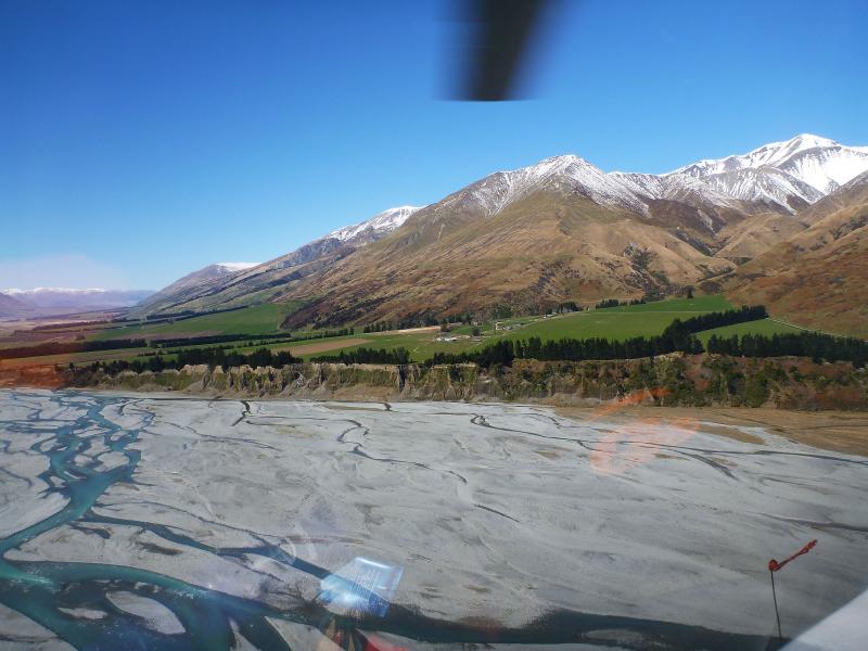
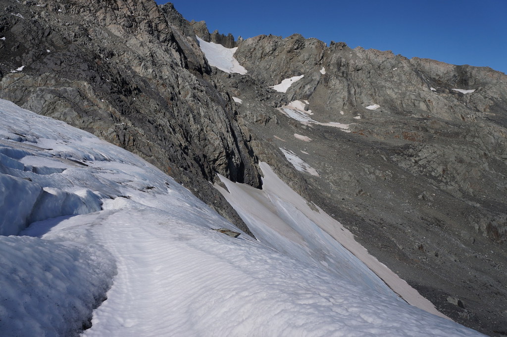
looking west

NZ Heli 2012-09-13 123
NZ Heli 2012-09-13 125
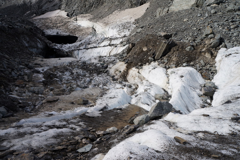
ice remains
NZ Heli 2012-09-13 129
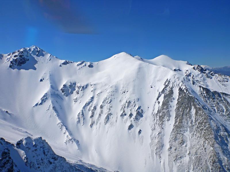
rotten rock and blue ice
NZ Heli 2012-09-13 126
NZ Heli 2012-09-13 130
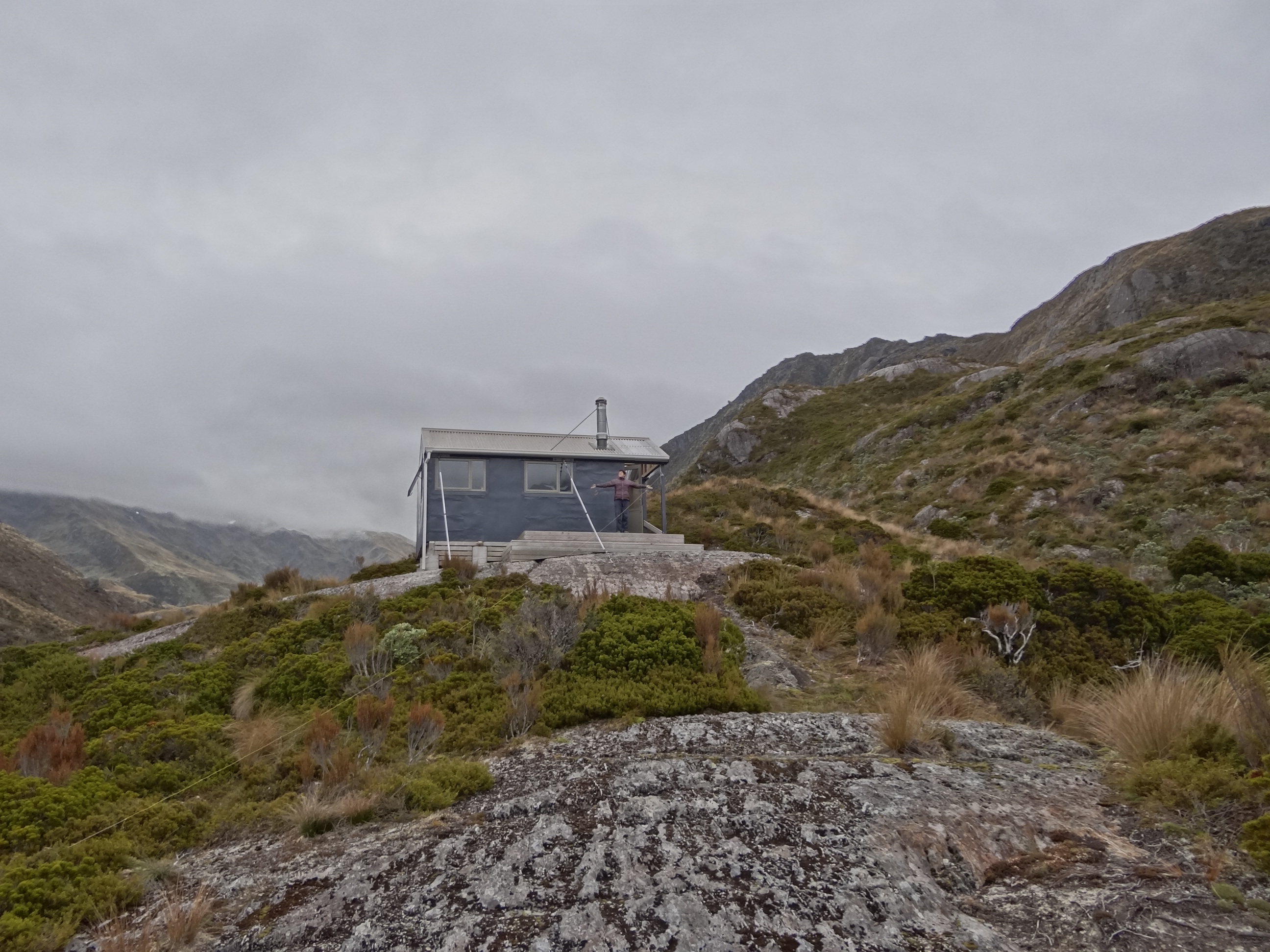
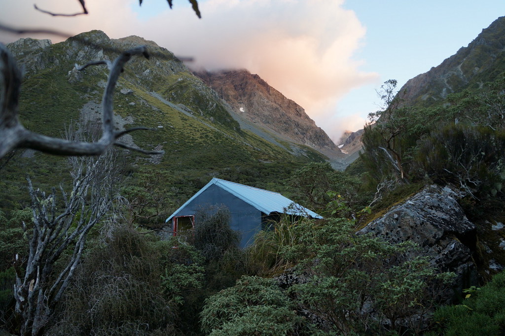
Bluff Hut
Topographic Map of Mount Williams, Canterbury, New Zealand
Find elevation by address:

Places near Mount Williams, Canterbury, New Zealand:
Bonds Peak
Double Hill
Rolleston Range
Mount Oakden
Dorothy Falls Road
Dorothy Falls
Mount Whitcombe
150 Ford Rd
Mount Arrowsmith
Mantell Street
Kokatahi
Blackhill Range
302 Woodstock-rimu Rd
Mount Taylor
The Warrior
Arthur's Pass
946 Old Christchurch Rd
308 Kaniere Rd
308 Kaniere Rd
308 Kaniere Rd
Recent Searches:
- Elevation of Corso Fratelli Cairoli, 35, Macerata MC, Italy
- Elevation of Tallevast Rd, Sarasota, FL, USA
- Elevation of 4th St E, Sonoma, CA, USA
- Elevation of Black Hollow Rd, Pennsdale, PA, USA
- Elevation of Oakland Ave, Williamsport, PA, USA
- Elevation of Pedrógão Grande, Portugal
- Elevation of Klee Dr, Martinsburg, WV, USA
- Elevation of Via Roma, Pieranica CR, Italy
- Elevation of Tavkvetili Mountain, Georgia
- Elevation of Hartfords Bluff Cir, Mt Pleasant, SC, USA