Elevation of The Warrior, Canterbury, New Zealand
Location: New Zealand > Canterbury > Ashburton District > Ramsay >
Longitude: 170.844166
Latitude: -43.345833
Elevation: 1971m / 6467feet
Barometric Pressure: 80KPa
Elevation Map:
Satellite Map:
Related Photos:
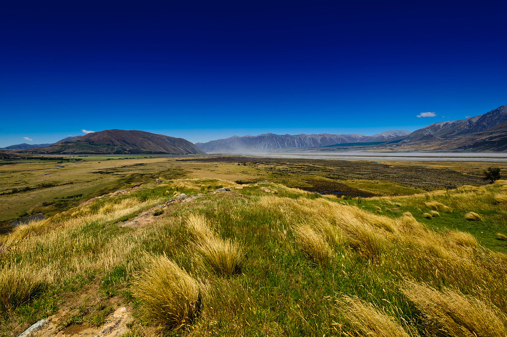
Mt Sunday (1)
Topographic Map of The Warrior, Canterbury, New Zealand
Find elevation by address:

Places near The Warrior, Canterbury, New Zealand:
Ramsay
Newton Peak
Mount Arrowsmith
Mount Whitcombe
Mount Sunday
Mount Kensington
Bonds Peak
The Thumbs
Mount D'archiac
Mount Adams
102 Main Rd
Sibbald
Harihari
Mount Sibbald
Lake Ianthe
8 La Fontaine Road
Kakapotahi
Ashburton Lakes
Mount Williams
Double Hill
Recent Searches:
- Elevation of Corso Fratelli Cairoli, 35, Macerata MC, Italy
- Elevation of Tallevast Rd, Sarasota, FL, USA
- Elevation of 4th St E, Sonoma, CA, USA
- Elevation of Black Hollow Rd, Pennsdale, PA, USA
- Elevation of Oakland Ave, Williamsport, PA, USA
- Elevation of Pedrógão Grande, Portugal
- Elevation of Klee Dr, Martinsburg, WV, USA
- Elevation of Via Roma, Pieranica CR, Italy
- Elevation of Tavkvetili Mountain, Georgia
- Elevation of Hartfords Bluff Cir, Mt Pleasant, SC, USA