Elevation of Blackhill Range, Canterbury, New Zealand
Location: New Zealand > Canterbury > Double Hill >
Longitude: 171.395833
Latitude: -43.421666
Elevation: 2106m / 6909feet
Barometric Pressure: 78KPa
Elevation Map:
Satellite Map:
Related Photos:

Mt Hutt view (i)

View Of The Ski Lodge At The Bottom From The Top of the Beginners' Hill While Skiing @ Mount Hutt Ski Resort, New Zealand
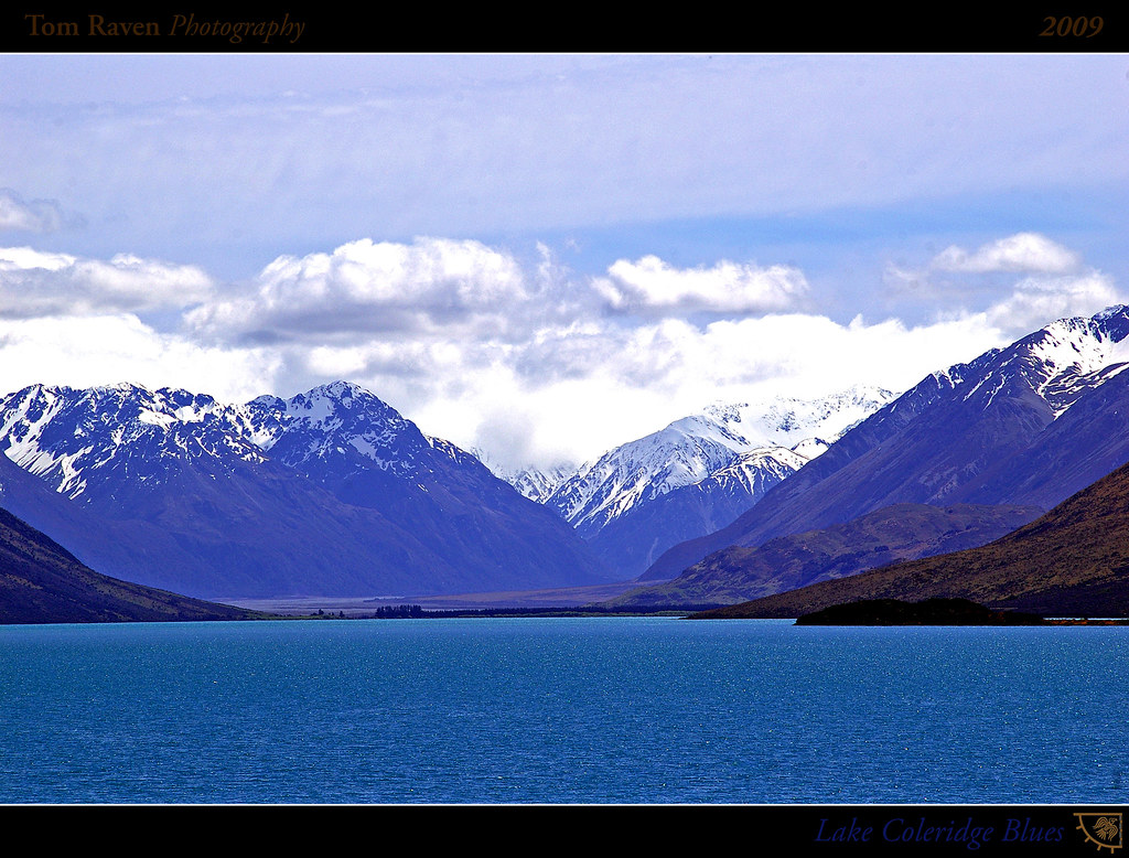
Lake Coleridge Blues

Lake Coleridge Intake Road

View from Mt Hutt
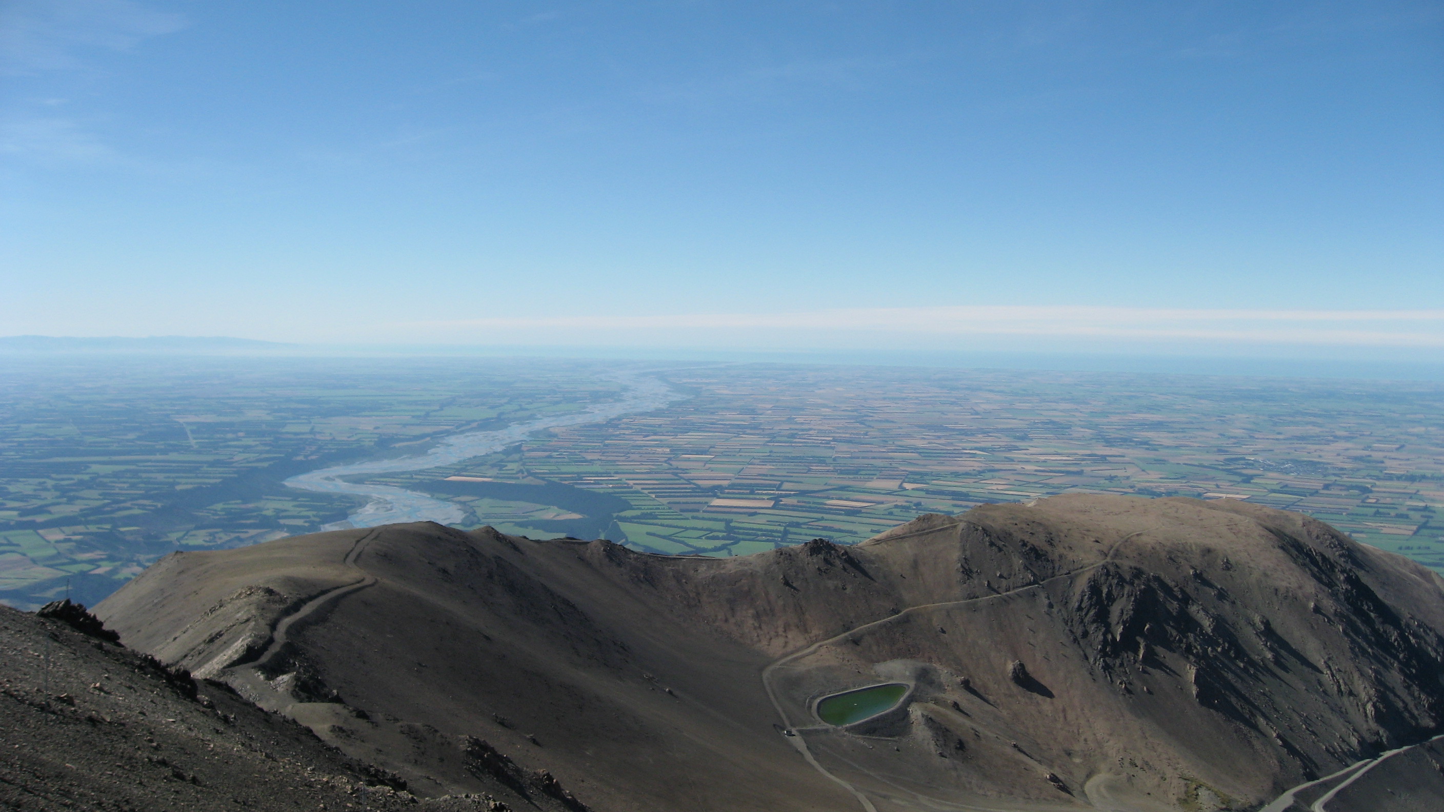
View from Mount Hutt
Topographic Map of Blackhill Range, Canterbury, New Zealand
Find elevation by address:

Places near Blackhill Range, Canterbury, New Zealand:
Mount Taylor
Lake Coleridge
Double Hill
Mount Oakden
Rolleston Range
Ashburton Lakes
Mount Williams
Mount Arrowsmith
Bonds Peak
Arthur's Pass
Mount Sunday
Mount Whitcombe
The Warrior
Ramsay
Dorothy Falls Road
Dorothy Falls
150 Ford Rd
Mantell Street
Newton Peak
Kokatahi
Recent Searches:
- Elevation of Corso Fratelli Cairoli, 35, Macerata MC, Italy
- Elevation of Tallevast Rd, Sarasota, FL, USA
- Elevation of 4th St E, Sonoma, CA, USA
- Elevation of Black Hollow Rd, Pennsdale, PA, USA
- Elevation of Oakland Ave, Williamsport, PA, USA
- Elevation of Pedrógão Grande, Portugal
- Elevation of Klee Dr, Martinsburg, WV, USA
- Elevation of Via Roma, Pieranica CR, Italy
- Elevation of Tavkvetili Mountain, Georgia
- Elevation of Hartfords Bluff Cir, Mt Pleasant, SC, USA