Elevation of 33 Holly Ct, Lottsburg, VA, USA
| Latitude | 37.9775226 |
|---|---|
| Longitude | -76.4998973 |
| Elevation | 2m / 7feet |
| Barometric Pressure | 1013KPa |
Related Photos:

Harris Farm - Heathsville, Virginia
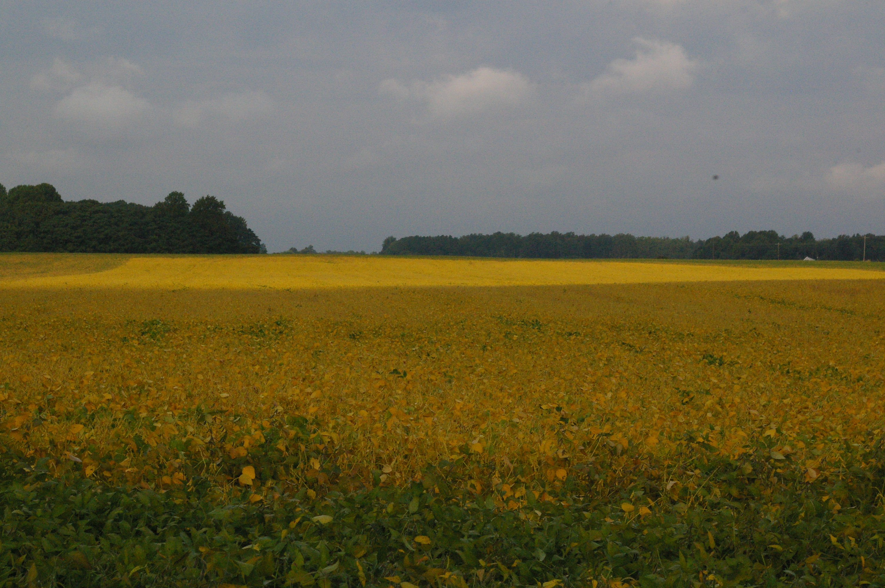
Soybean Field
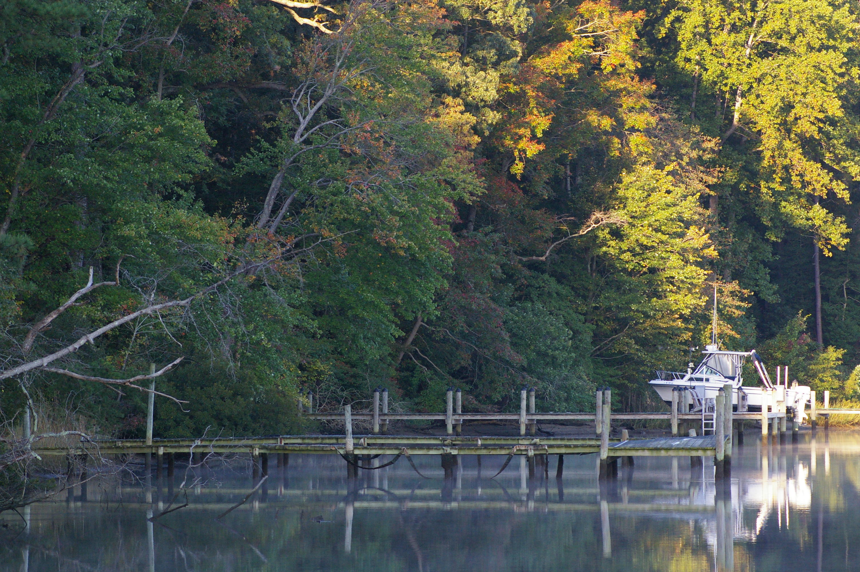
Rowes Landing at Sunrise
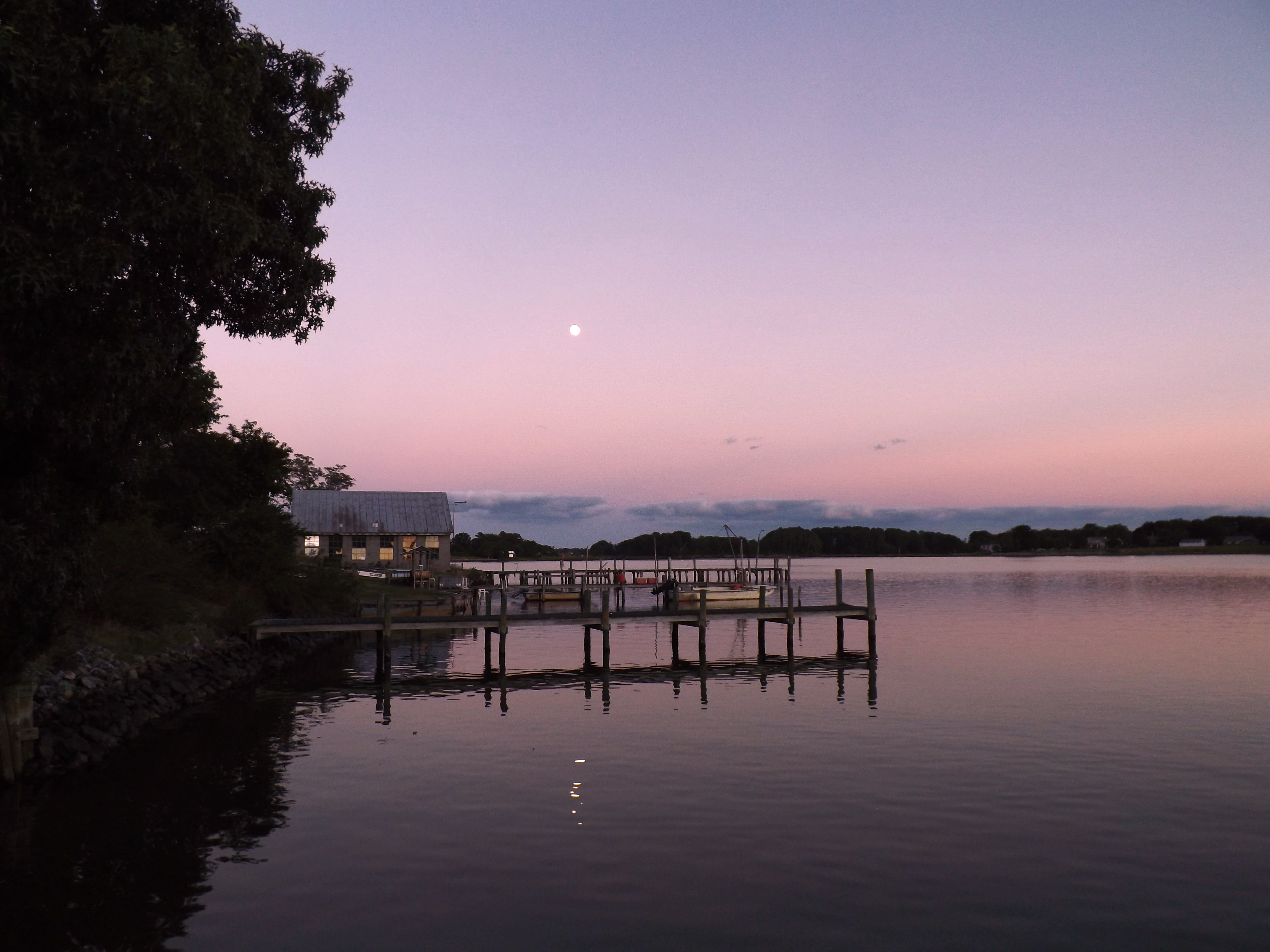
Moon Rising as seen from Krentz Marina, Northumberland County, VA

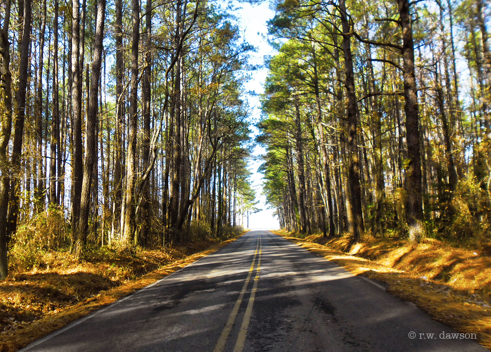
Drive-by
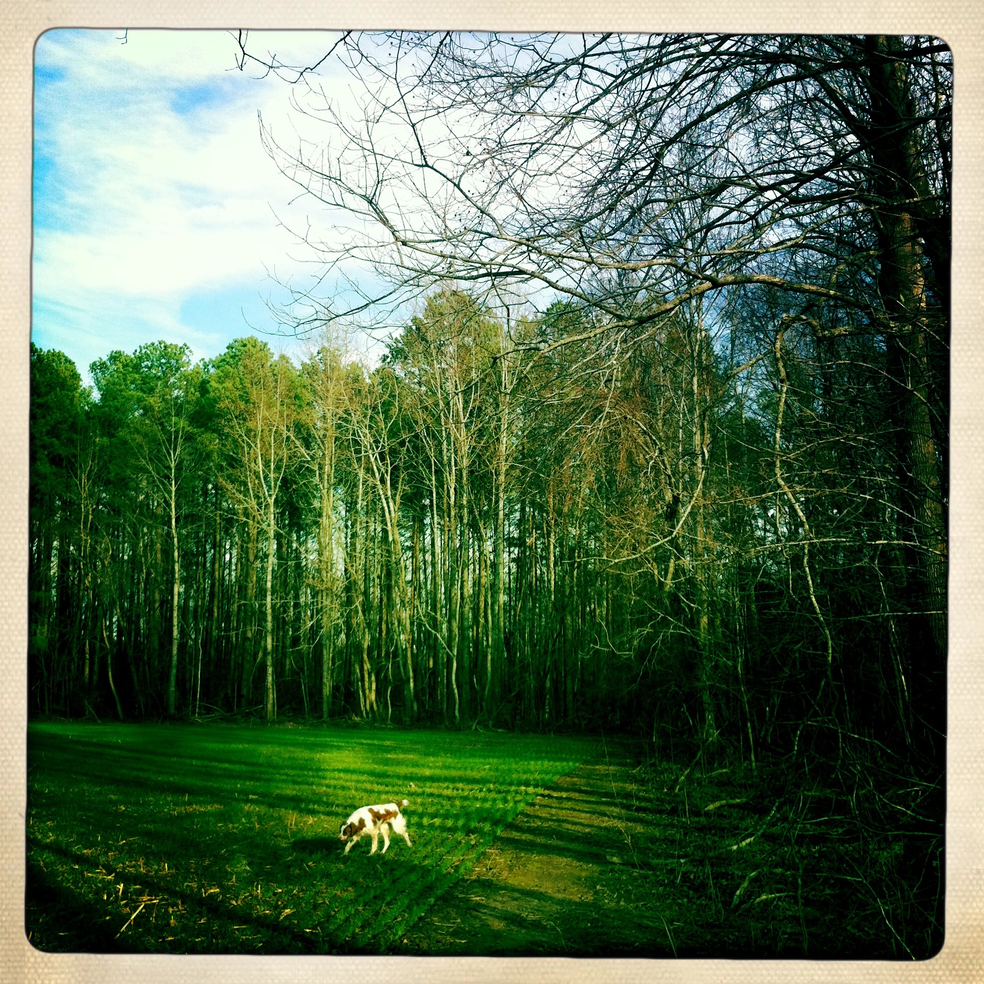
Dog in the field
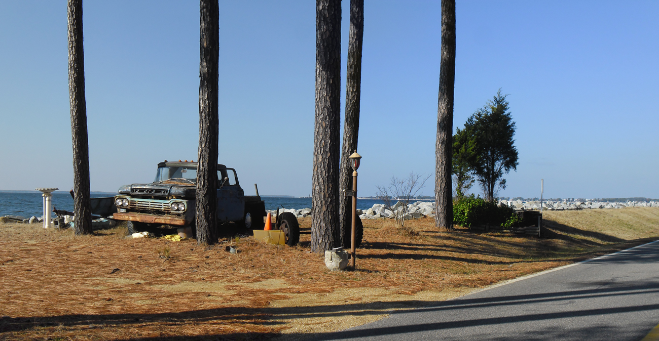
Old Truck Under the St. George Island Pines
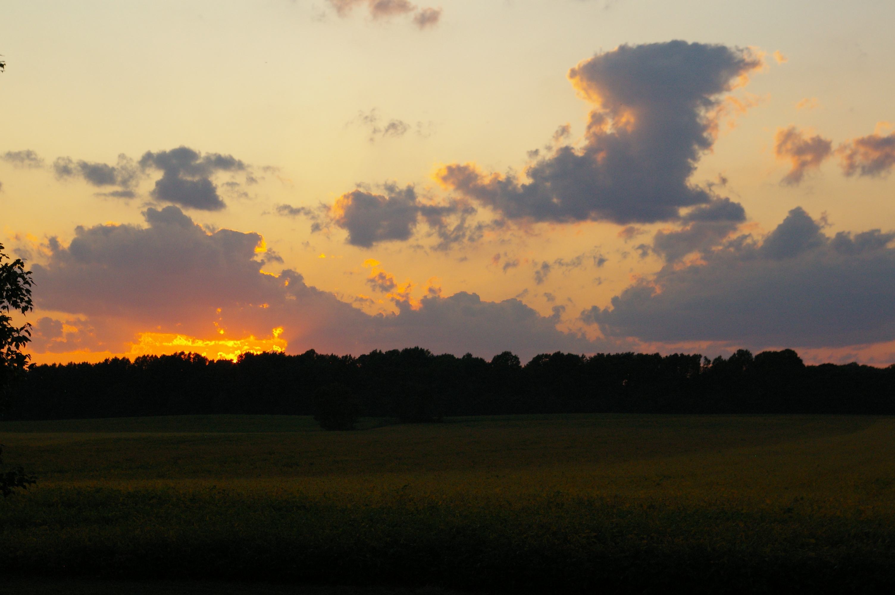
Northern Neck Sunset
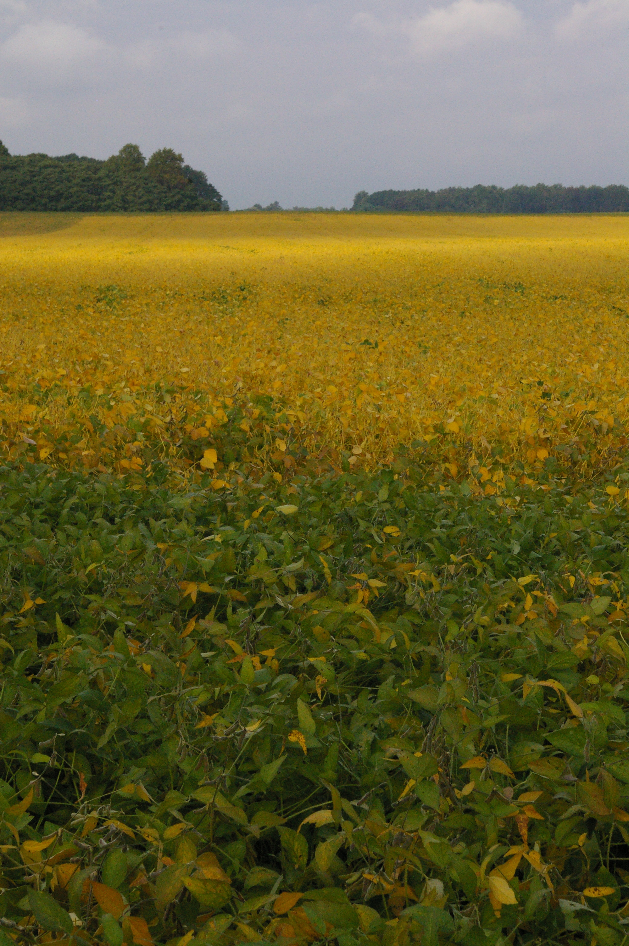
Soybean Field
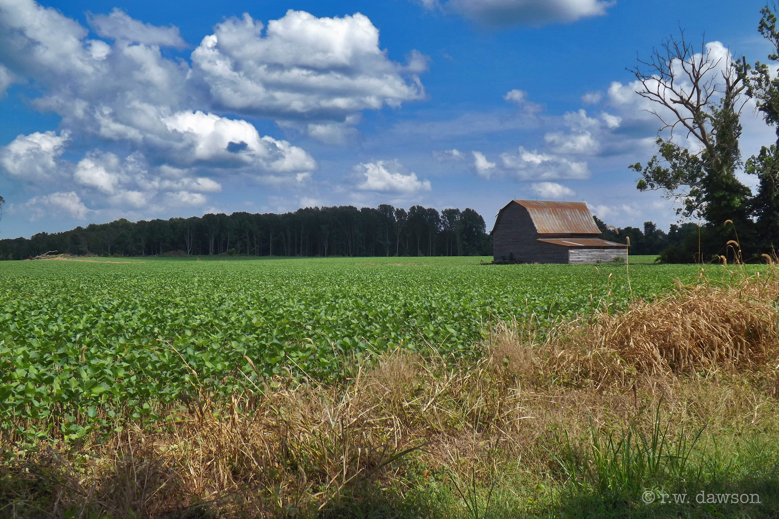
Barn on Rowes Landing Road
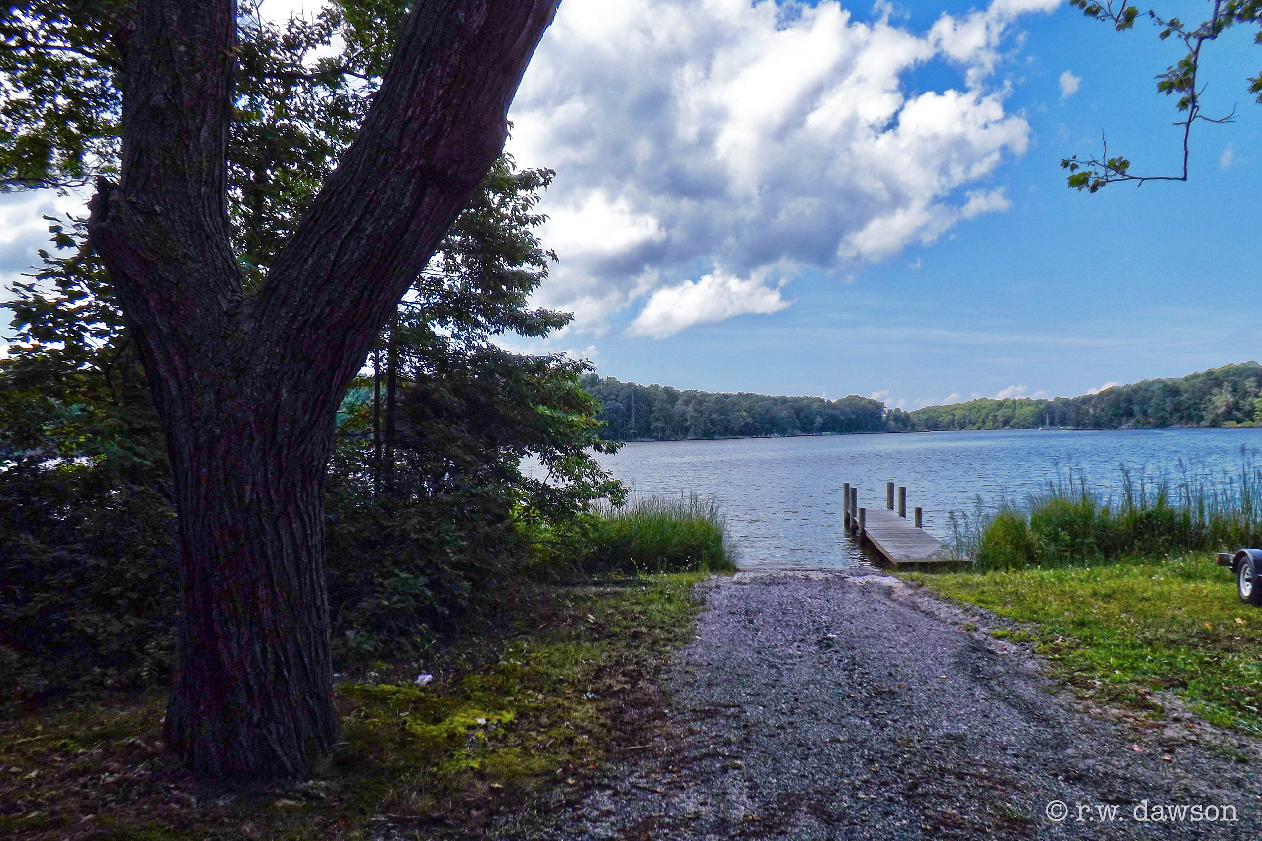
Boat Ramp at Rowes Landing

Sunset at Coan River, Northern Neck, VA.jpg
St. George Island Pines
Topographic Map of 33 Holly Ct, Lottsburg, VA, USA
Find elevation by address:
Places near 33 Holly Ct, Lottsburg, VA, USA:
43 Holly Ct
Harryhogan Rd, Callao, VA, USA
553 Pine Point Dr
336 Potomac Shore Dr
Callao
Richmond Rd, Callao, VA, USA
760 Bay Quarter Dr
604 Parker Dr
Great House Road
Skipjack Rd, Kinsale, VA, USA
76 Great House Rd
Kinsale
Camp Merryelande Vacation Cottages
Thomas Rd, Piney Point, MD, USA
9, St. George Island
16255 Thomas Rd
Saint George Island
Tucker Hill Road
16394 Thomas Rd
16500 Ball Point Rd
Recent Searches:
- Elevation of 104, Chancery Road, Middletown Township, Bucks County, Pennsylvania, 19047, USA
- Elevation of 1212, Cypress Lane, Dayton, Liberty County, Texas, 77535, USA
- Elevation map of Central Hungary, Hungary
- Elevation map of Pest, Central Hungary, Hungary
- Elevation of Pilisszentkereszt, Pest, Central Hungary, Hungary
- Elevation of Dharamkot Tahsil, Punjab, India
- Elevation of Bhinder Khurd, Dharamkot Tahsil, Punjab, India
- Elevation of 2881, Chabot Drive, San Bruno, San Mateo County, California, 94066, USA
- Elevation of 10370, West 107th Circle, Westminster, Jefferson County, Colorado, 80021, USA
- Elevation of 611, Roman Road, Old Ford, Bow, London, England, E3 2RW, United Kingdom
- Elevation of 116, Beartown Road, Underhill, Chittenden County, Vermont, 05489, USA
- Elevation of Window Rock, Colfax County, New Mexico, 87714, USA
- Elevation of 4807, Rosecroft Street, Kempsville Gardens, Virginia Beach, Virginia, 23464, USA
- Elevation map of Matawinie, Quebec, Canada
- Elevation of Sainte-Émélie-de-l'Énergie, Matawinie, Quebec, Canada
- Elevation of Rue du Pont, Sainte-Émélie-de-l'Énergie, Matawinie, Quebec, J0K2K0, Canada
- Elevation of 8, Rue de Bécancour, Blainville, Thérèse-De Blainville, Quebec, J7B1N2, Canada
- Elevation of Wilmot Court North, 163, University Avenue West, Northdale, Waterloo, Region of Waterloo, Ontario, N2L6B6, Canada
- Elevation map of Panamá Province, Panama
- Elevation of Balboa, Panamá Province, Panama