Elevation of Northumberland County, VA, USA
Location: United States > Virginia >
Longitude: -76.410026
Latitude: 37.9035732
Elevation: 28m / 92feet
Barometric Pressure: 101KPa
Elevation Map:
Satellite Map:
Related Photos:

Harris Farm - Heathsville, Virginia

Chesapeake Bay View From Condit Pond
Point of View

My view this morning 3-11-14

Perfect Beach House

View from Delano's Store

View from Bryna & Eliot's House

View from Beach House

Drive-by
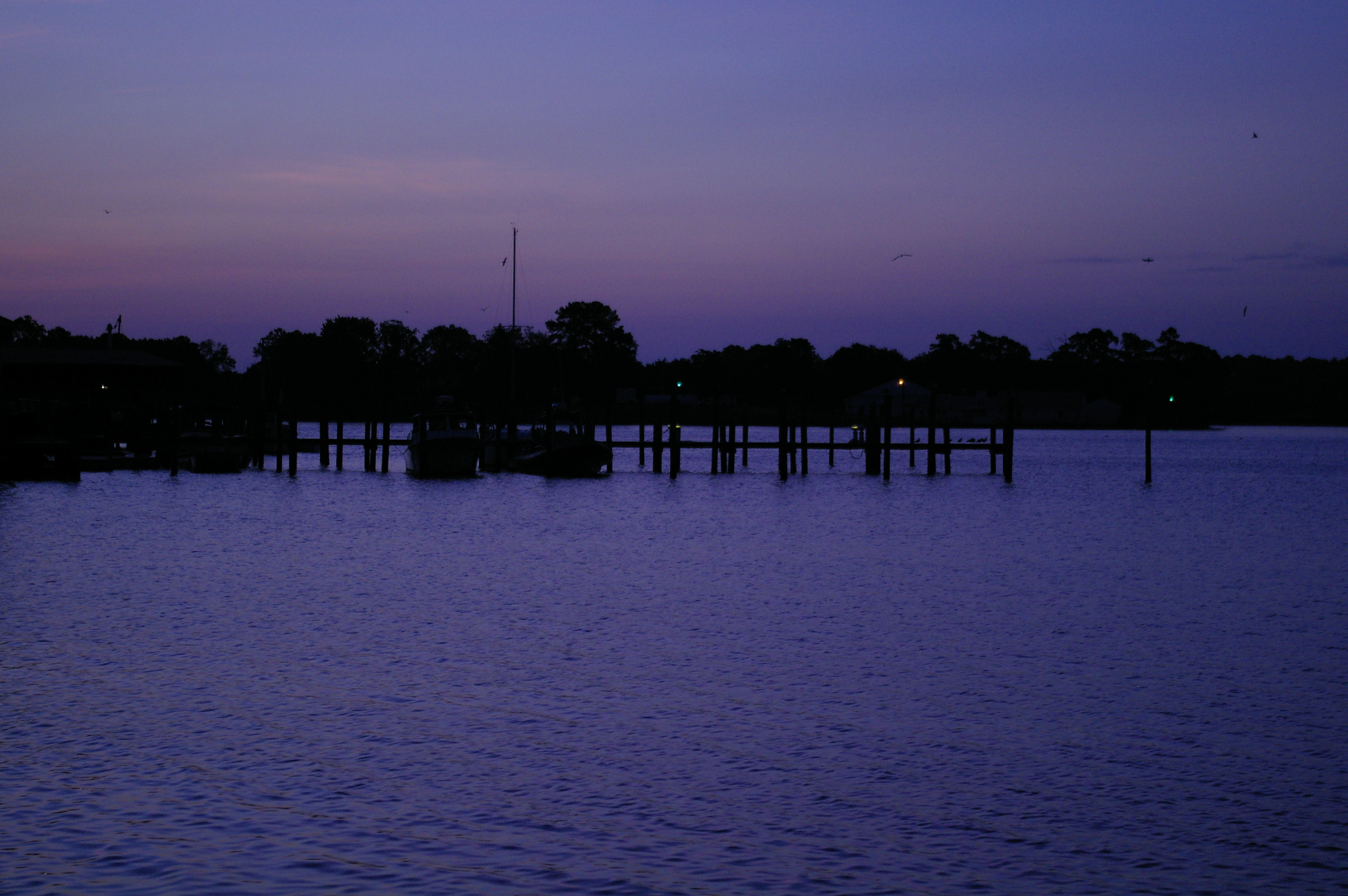
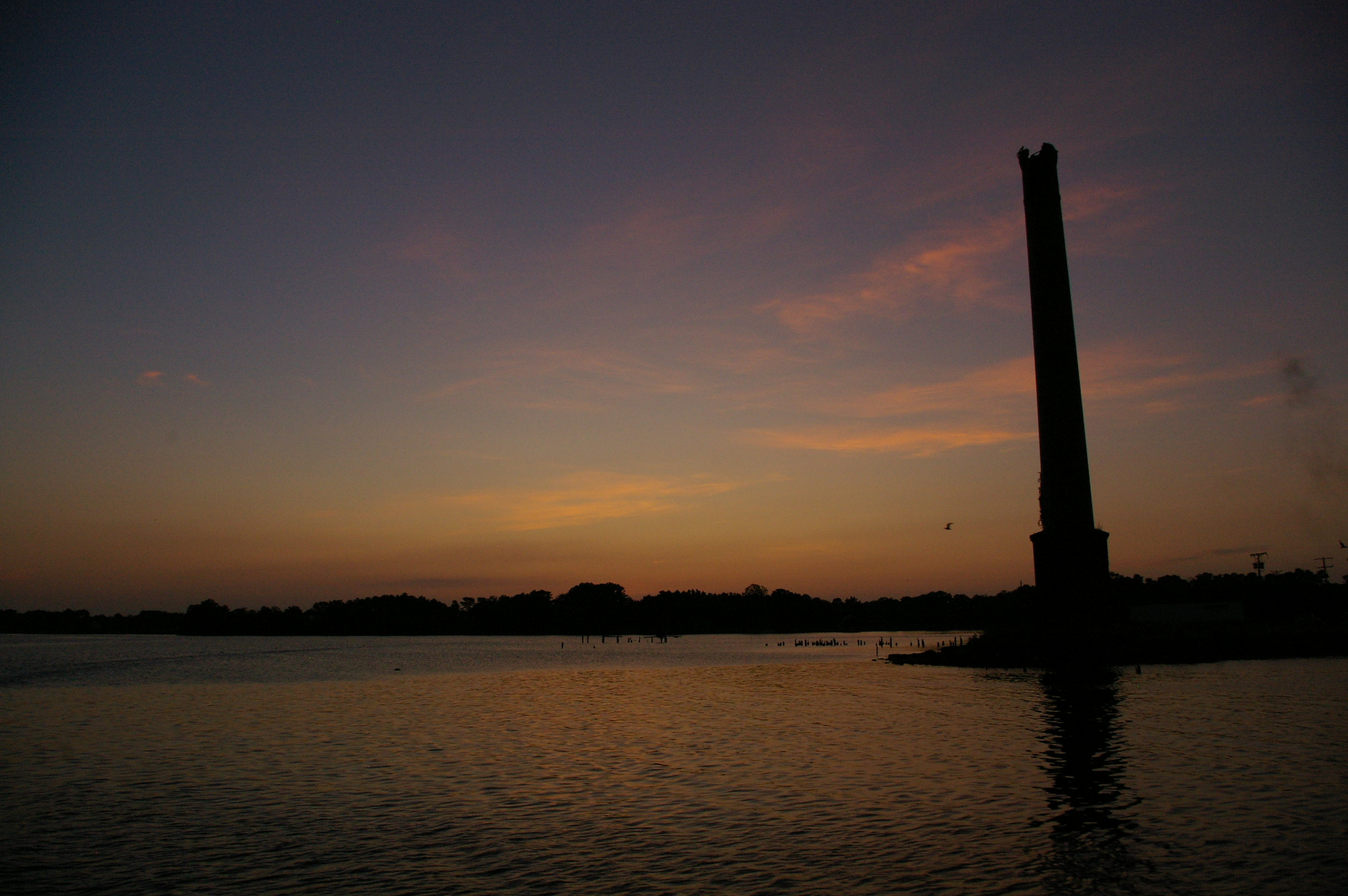
Rowes Landing at Sunrise

Rowes Landing at Sunrise
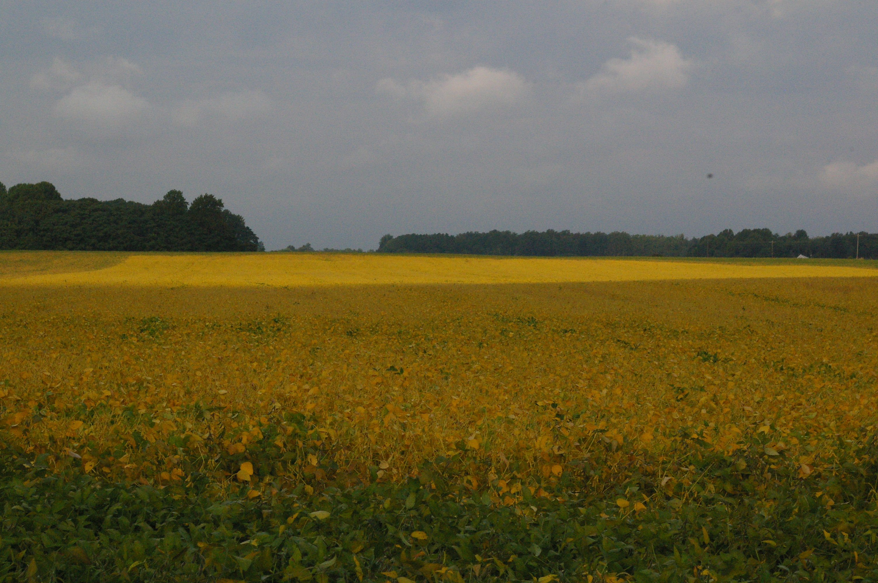
Soybean Field
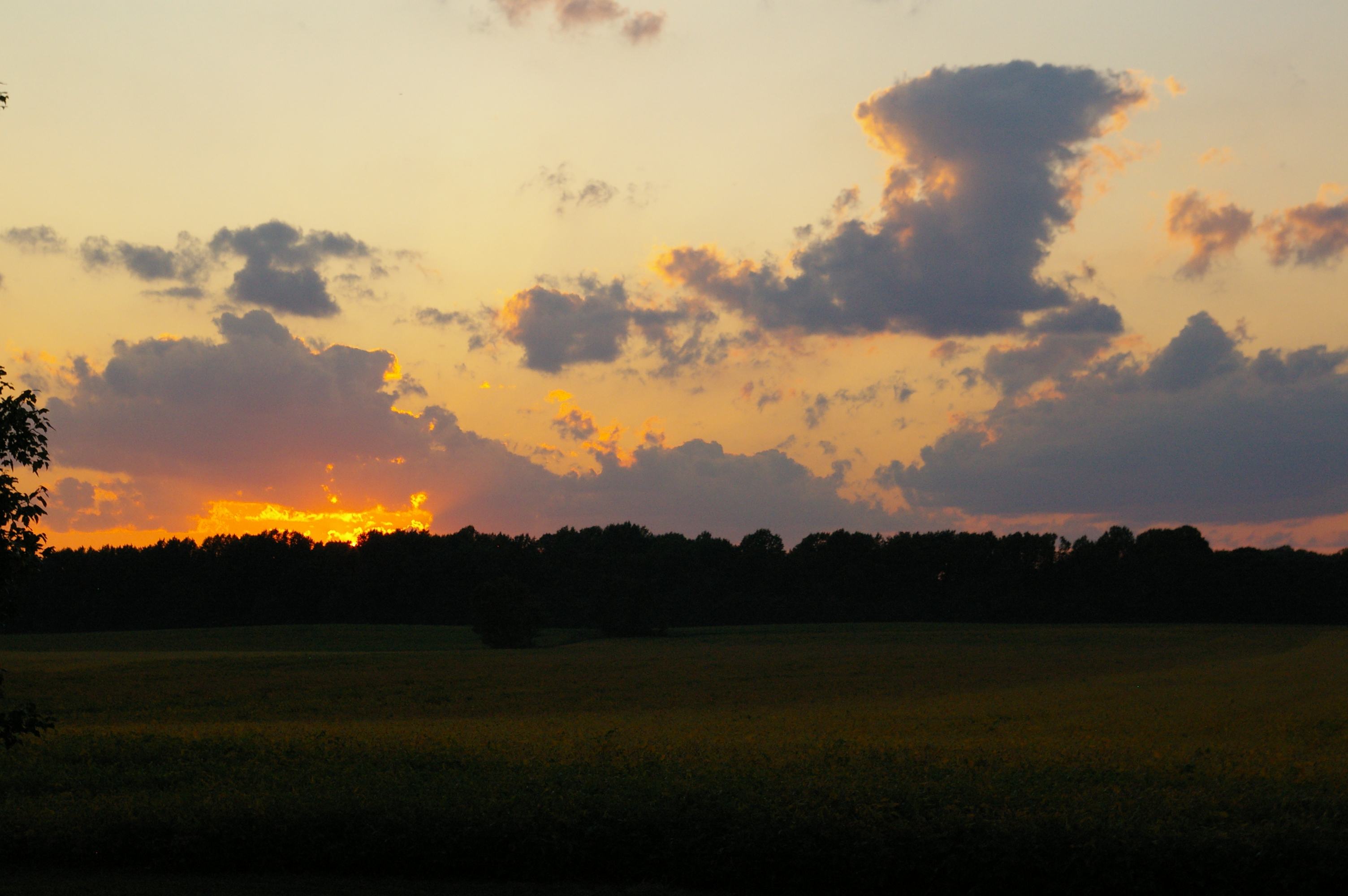
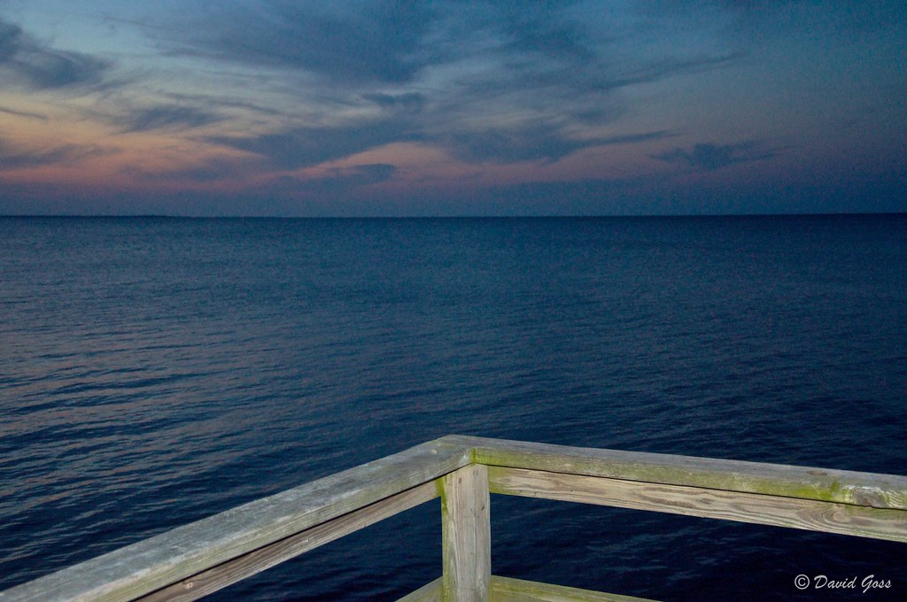
Northern Neck Sunset
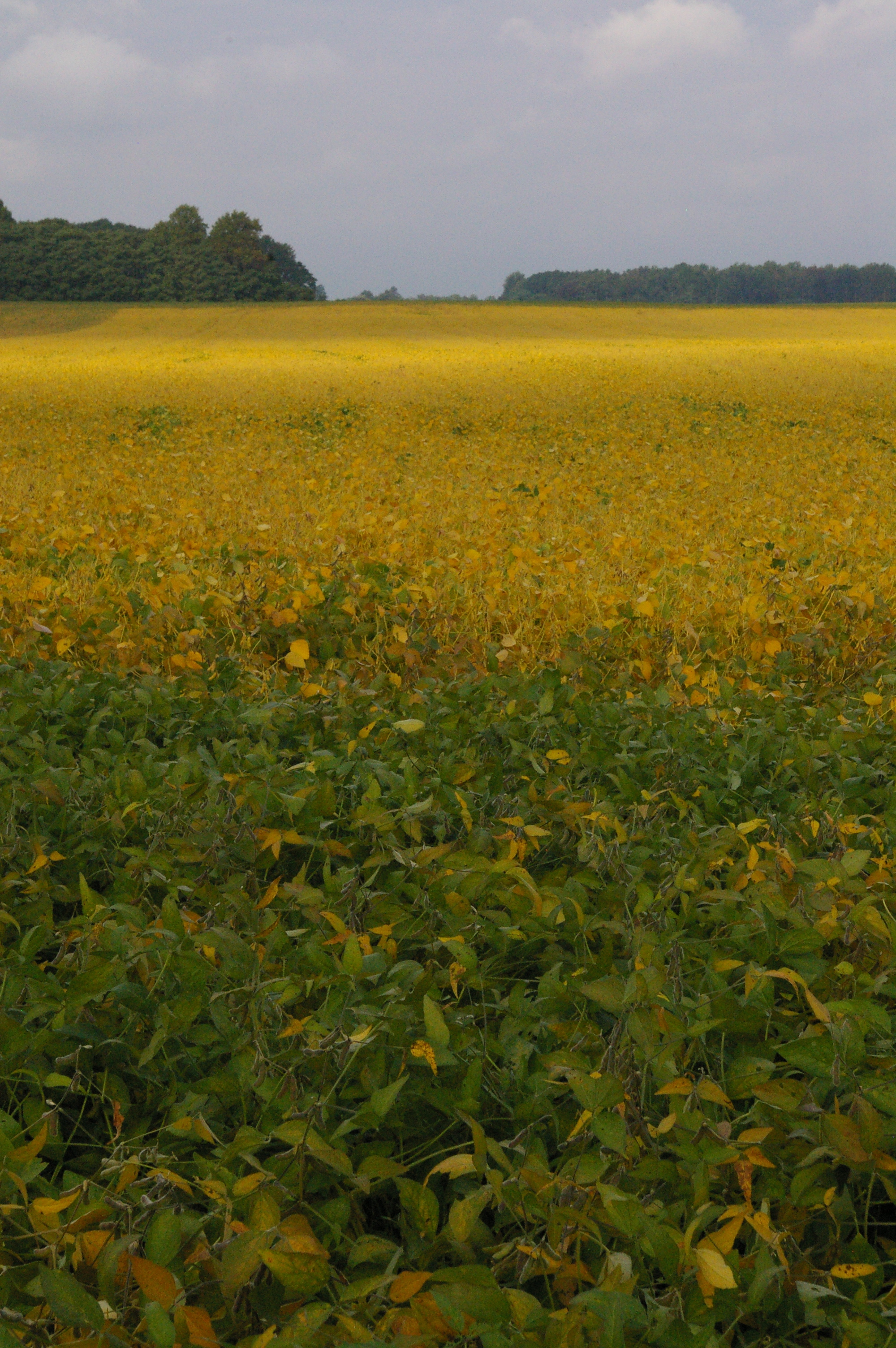
Soybean Field

Sunset at Coan River, Northern Neck, VA.jpg

Sunrise over the Bay
Sunrise over Cockrell Creek
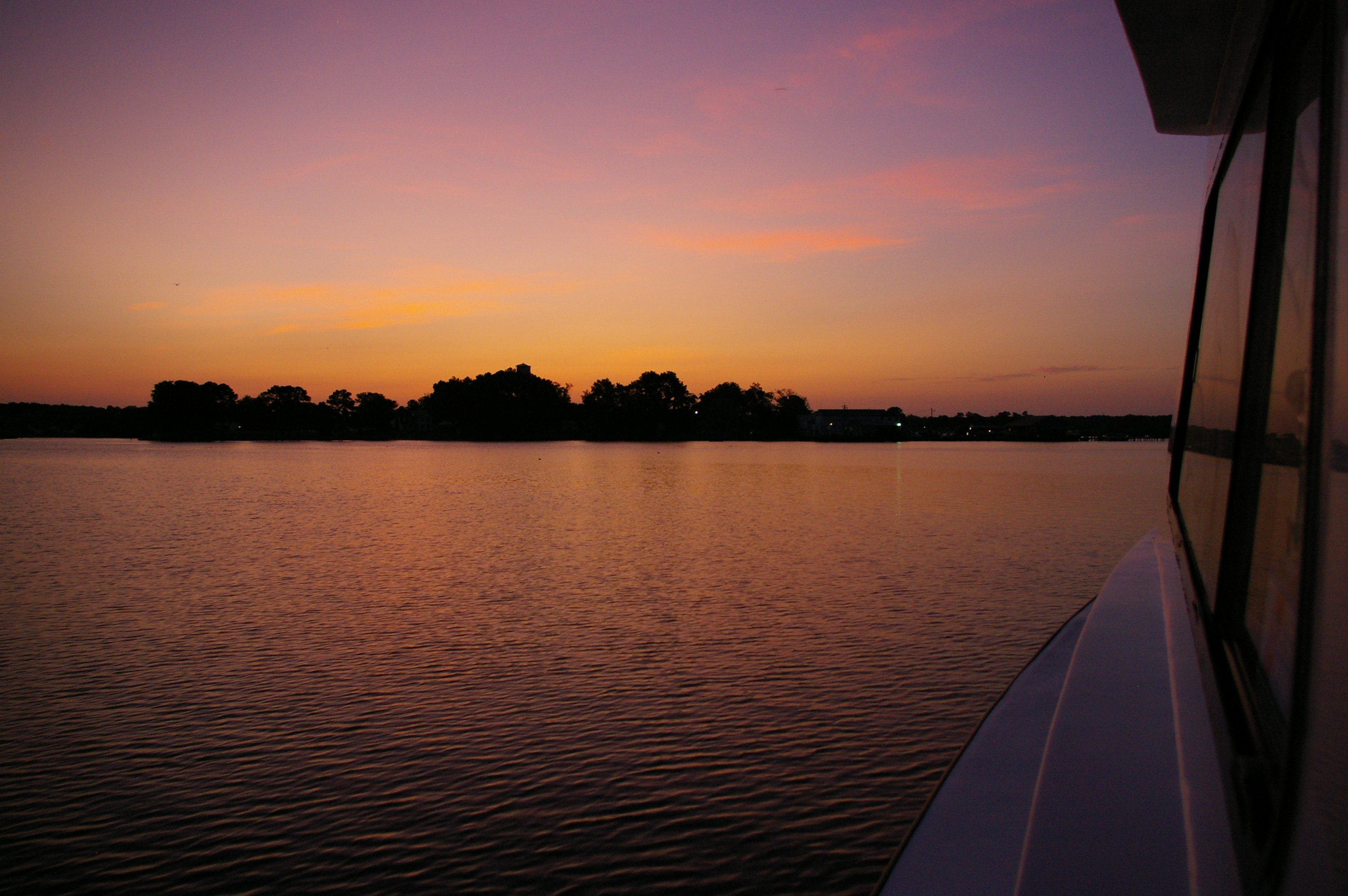
Sunrise over the Bay
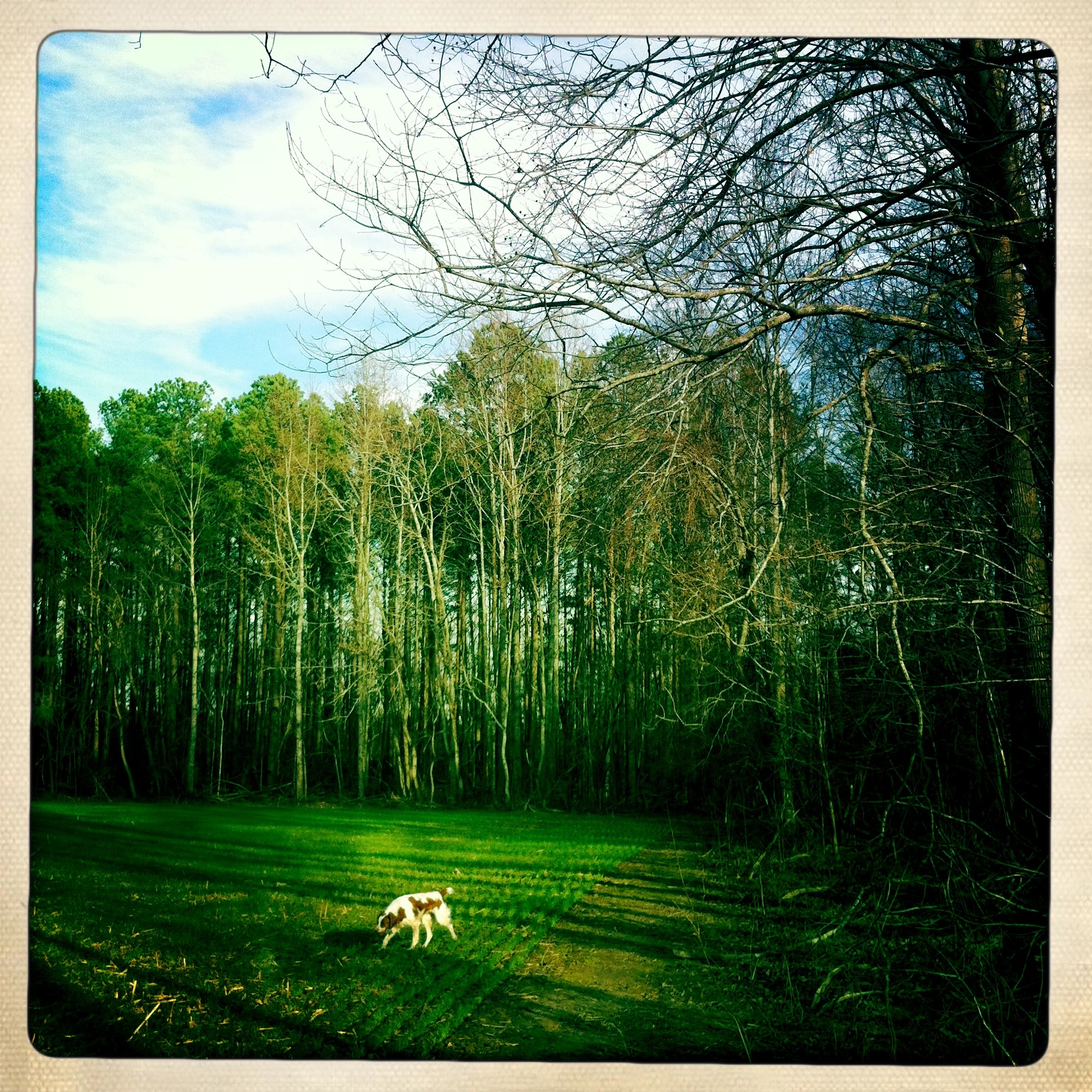
Dog in the field

Country Lane

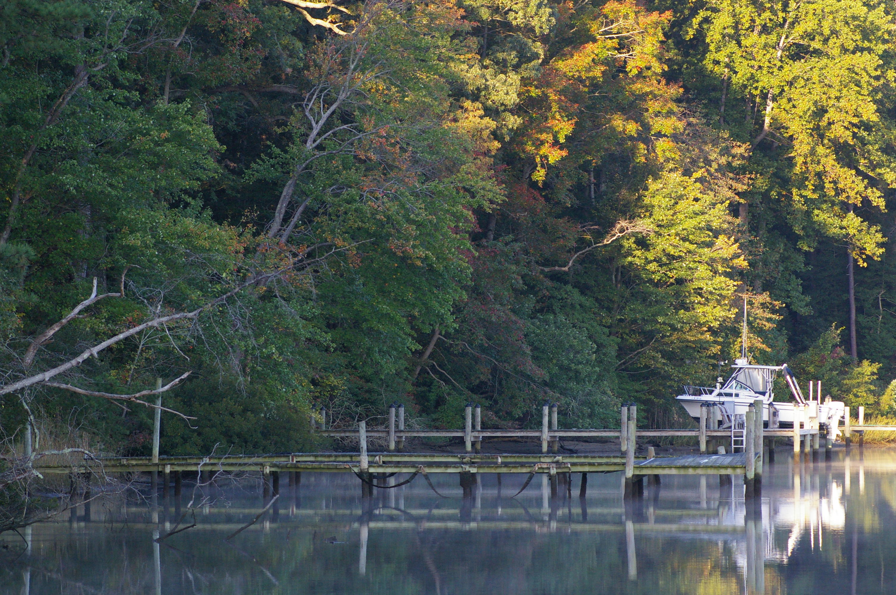
Up a Lazy River

Boats Docked in Reedville, Northumberland County, VA

#0055-7 - Great Wicomico River (HDR / Lofi)
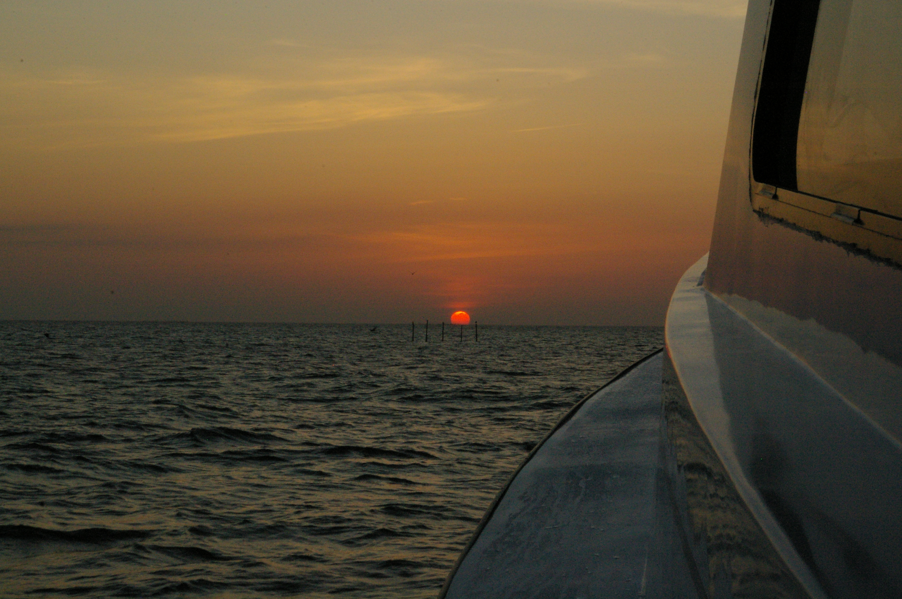
Sunrise over the Bay
Sunrise over Cockrell Creek
Topographic Map of Northumberland County, VA, USA
Find elevation by address:

Places in Northumberland County, VA, USA:
Places near Northumberland County, VA, USA:
Coopers Landing Rd, Heathsville, VA, USA
76 Wicomico Way
113 Fleets Cove Ln
143 Canvasback Ln
7483 Northumberland Hwy
4016 Newmans Neck Rd
3585 Courthouse Rd
377 Potomac Dr
Heathsville
138 Rowes Landing Rd
3, VA, USA
Owl Point Road
20 Regina Rd, Lancaster, VA, USA
Surprise Hill
2085 Coan Church Rd
1151 Dodlyt Rd
2, VA, USA
Northumberland Hwy, Reedville, VA, USA
1063 Mill Creek Ln
Northumberland Hwy, Callao, VA, USA
Recent Searches:
- Elevation of Corso Fratelli Cairoli, 35, Macerata MC, Italy
- Elevation of Tallevast Rd, Sarasota, FL, USA
- Elevation of 4th St E, Sonoma, CA, USA
- Elevation of Black Hollow Rd, Pennsdale, PA, USA
- Elevation of Oakland Ave, Williamsport, PA, USA
- Elevation of Pedrógão Grande, Portugal
- Elevation of Klee Dr, Martinsburg, WV, USA
- Elevation of Via Roma, Pieranica CR, Italy
- Elevation of Tavkvetili Mountain, Georgia
- Elevation of Hartfords Bluff Cir, Mt Pleasant, SC, USA