Elevation of Northumberland Hwy, Callao, VA, USA
Location: United States > Virginia > Northumberland County > > Callao >
Longitude: -76.521405
Latitude: 37.9651378
Elevation: 33m / 108feet
Barometric Pressure: 101KPa
Elevation Map:
Satellite Map:
Related Photos:

Harris Farm - Heathsville, Virginia
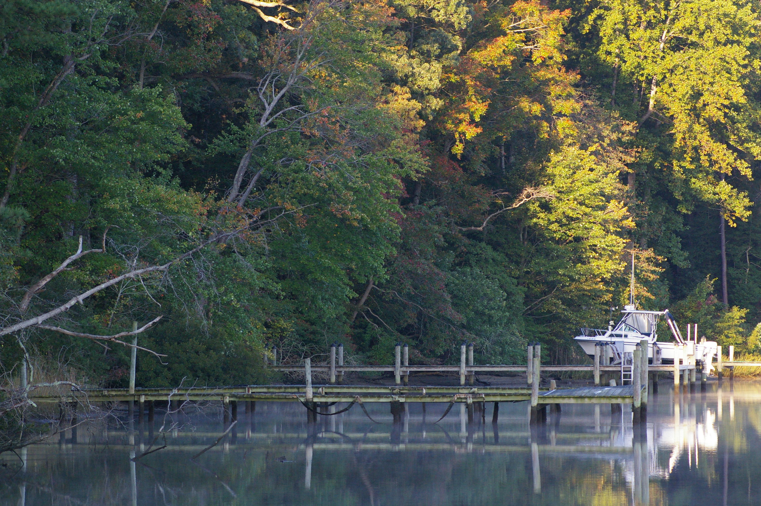
Rowes Landing at Sunrise

Rowes Landing at Sunrise
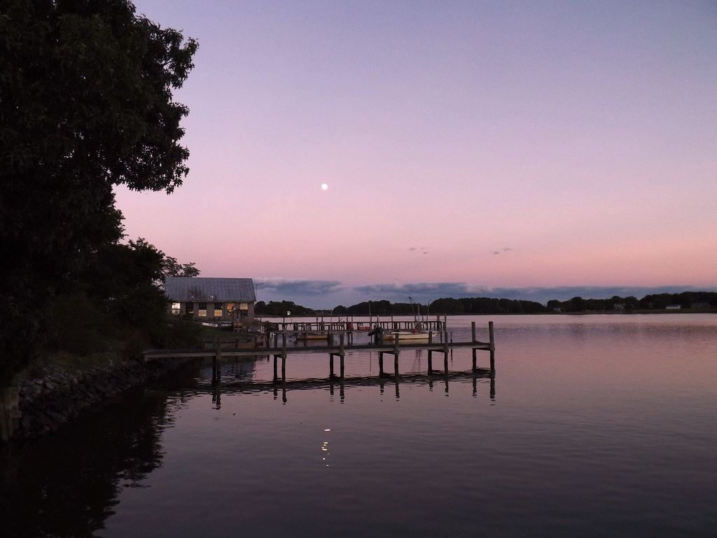
Moon Rising as seen from Krentz Marina, Northumberland County, VA

Drive-by

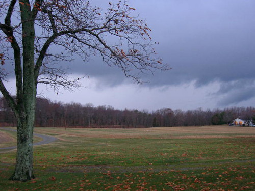
Country Lane
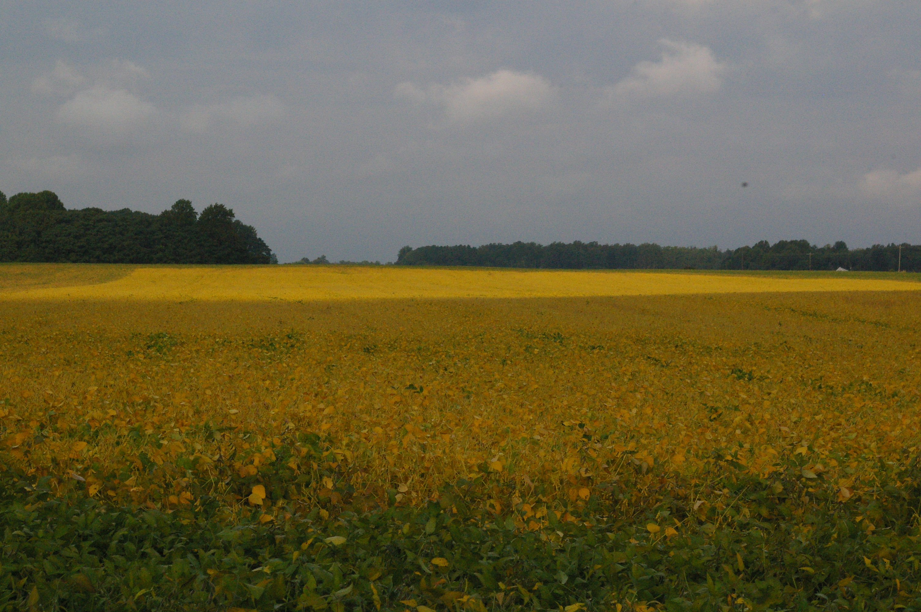
Soybean Field
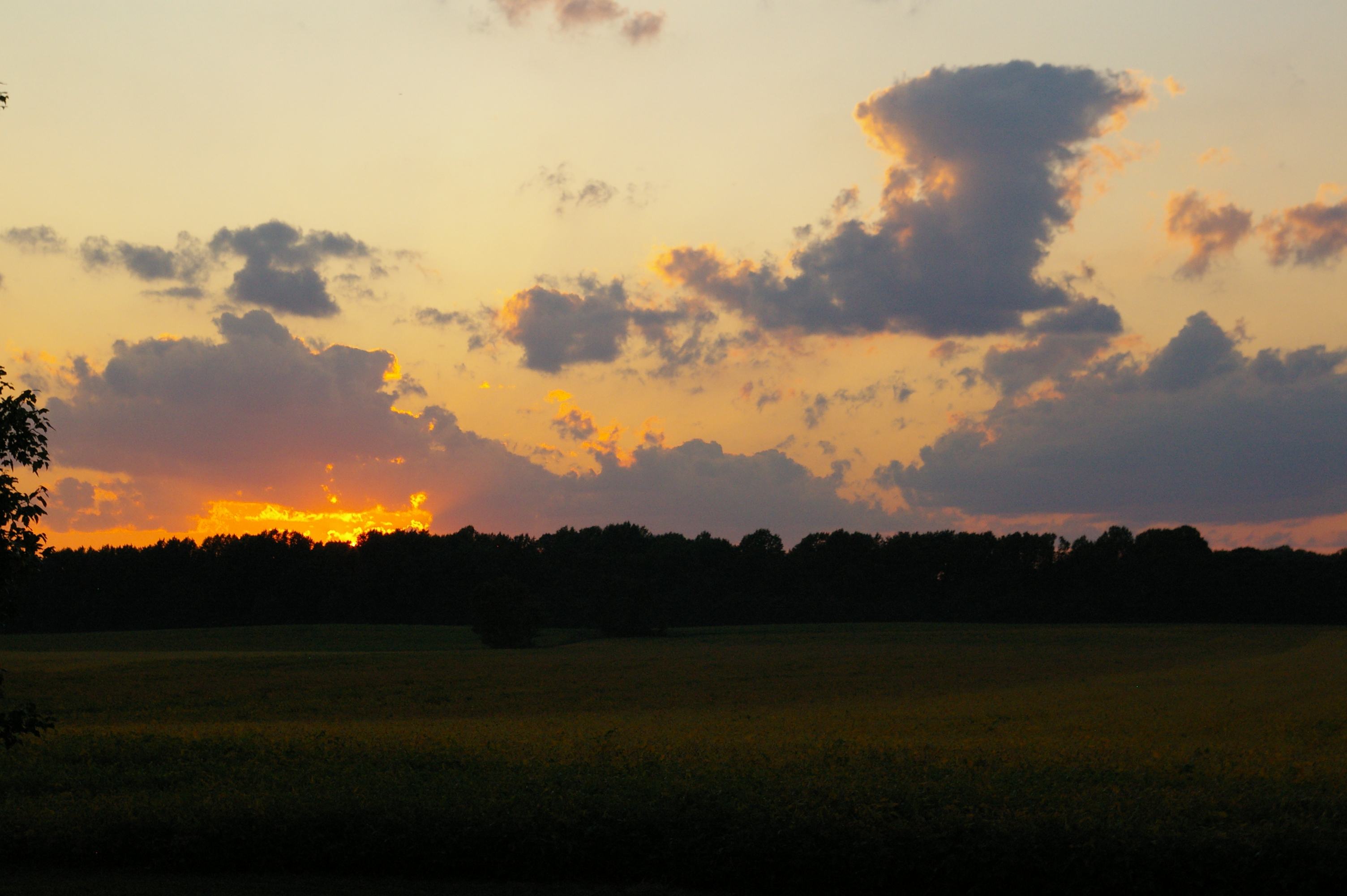
Northern Neck Sunset
Lie Down in Darkness.
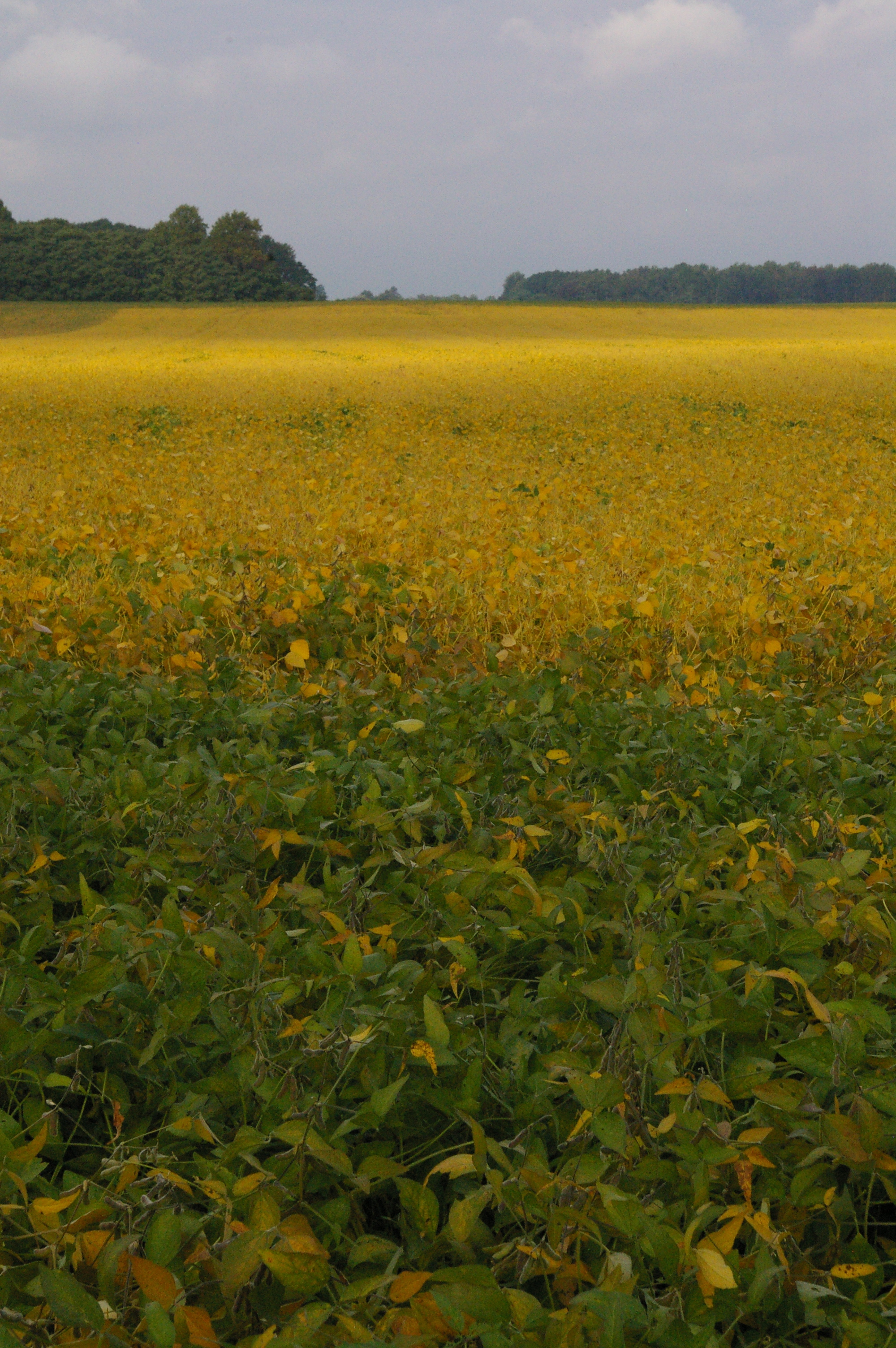
Soybean Field

Sunset at Coan River, Northern Neck, VA.jpg
Topographic Map of Northumberland Hwy, Callao, VA, USA
Find elevation by address:

Places near Northumberland Hwy, Callao, VA, USA:
2, VA, USA
2085 Coan Church Rd
138 Rowes Landing Rd
1151 Dodlyt Rd
Heathsville
7483 Northumberland Hwy
Owl Point Road
Totuskey Creek
3585 Courthouse Rd
377 Potomac Dr
4016 Newmans Neck Rd
4, VA, USA
113 Fleets Cove Ln
Northumberland County
Cedar Grove Rd, Farnham, VA, USA
Coopers Landing Rd, Heathsville, VA, USA
Farnham
143 Canvasback Ln
76 Wicomico Way
694 Morattico Rd
Recent Searches:
- Elevation of Corso Fratelli Cairoli, 35, Macerata MC, Italy
- Elevation of Tallevast Rd, Sarasota, FL, USA
- Elevation of 4th St E, Sonoma, CA, USA
- Elevation of Black Hollow Rd, Pennsdale, PA, USA
- Elevation of Oakland Ave, Williamsport, PA, USA
- Elevation of Pedrógão Grande, Portugal
- Elevation of Klee Dr, Martinsburg, WV, USA
- Elevation of Via Roma, Pieranica CR, Italy
- Elevation of Tavkvetili Mountain, Georgia
- Elevation of Hartfords Bluff Cir, Mt Pleasant, SC, USA