Elevation of 43 Holly Ct, Lottsburg, VA, USA
Location: United States > Virginia > Northumberland County >
Longitude: -76.497198
Latitude: 37.9763172
Elevation: 3m / 10feet
Barometric Pressure: 101KPa
Elevation Map:
Satellite Map:
Related Photos:

Harris Farm - Heathsville, Virginia
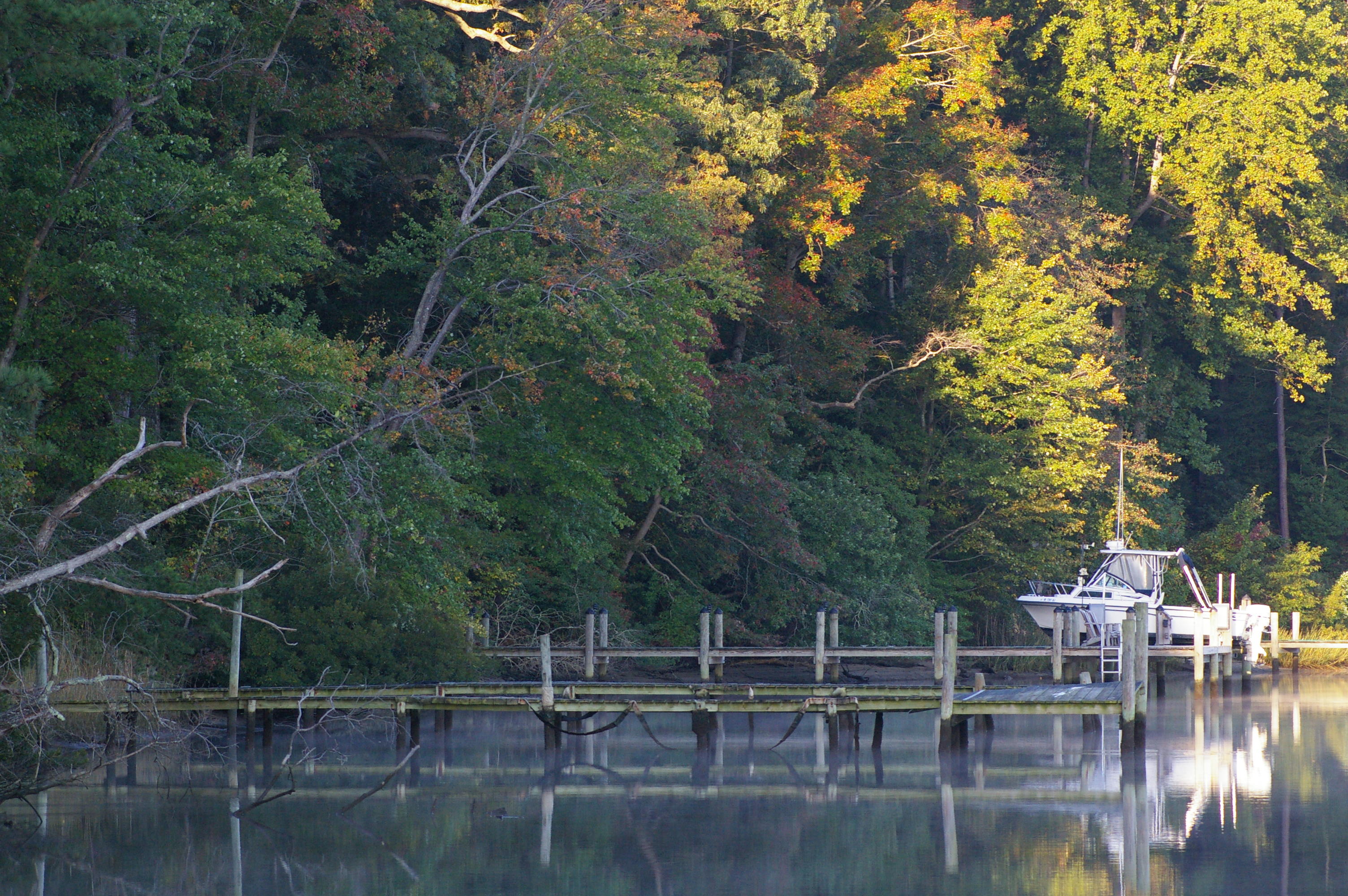
Rowes Landing at Sunrise
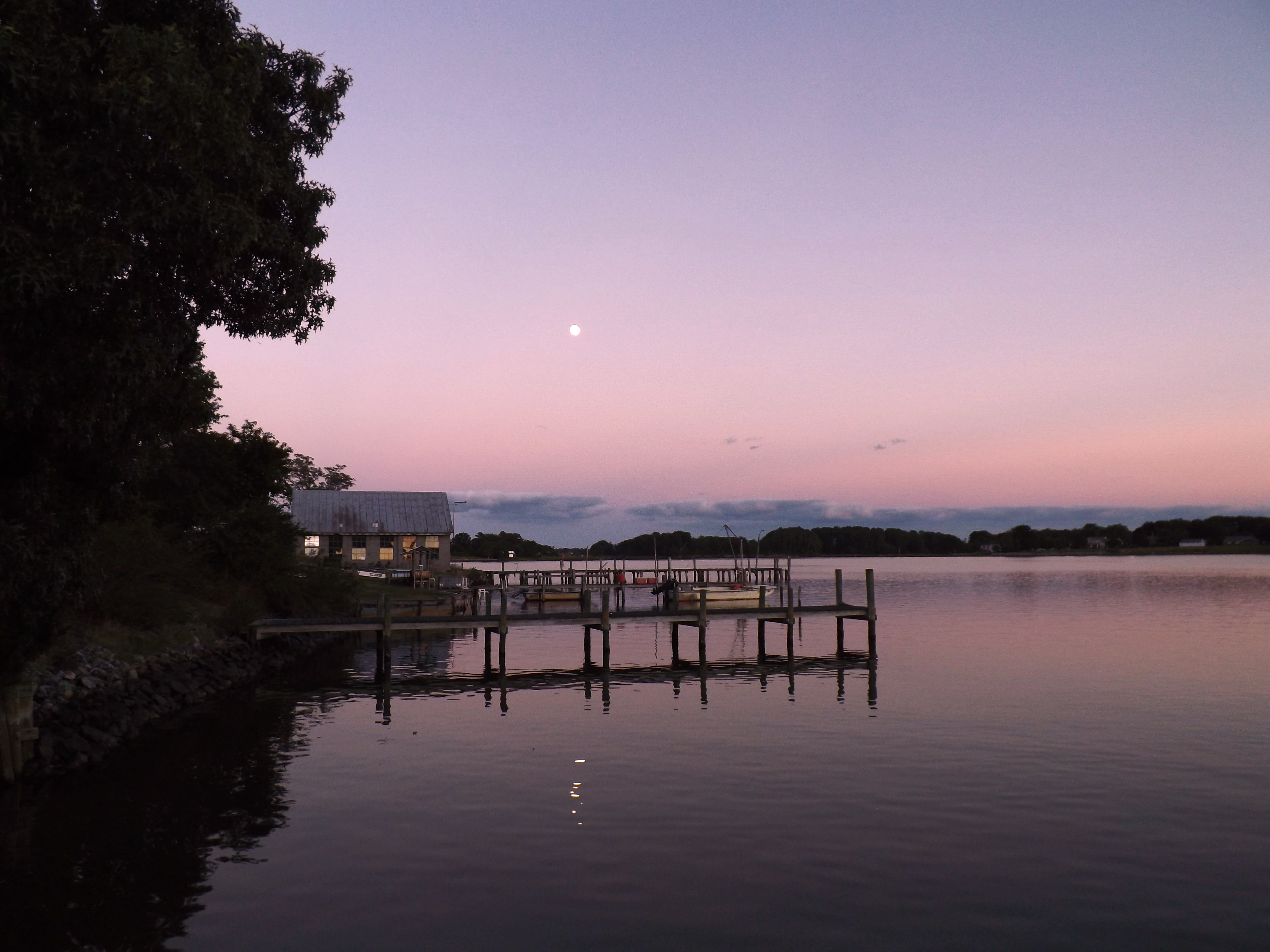
Moon Rising as seen from Krentz Marina, Northumberland County, VA

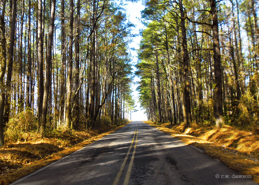
Drive-by
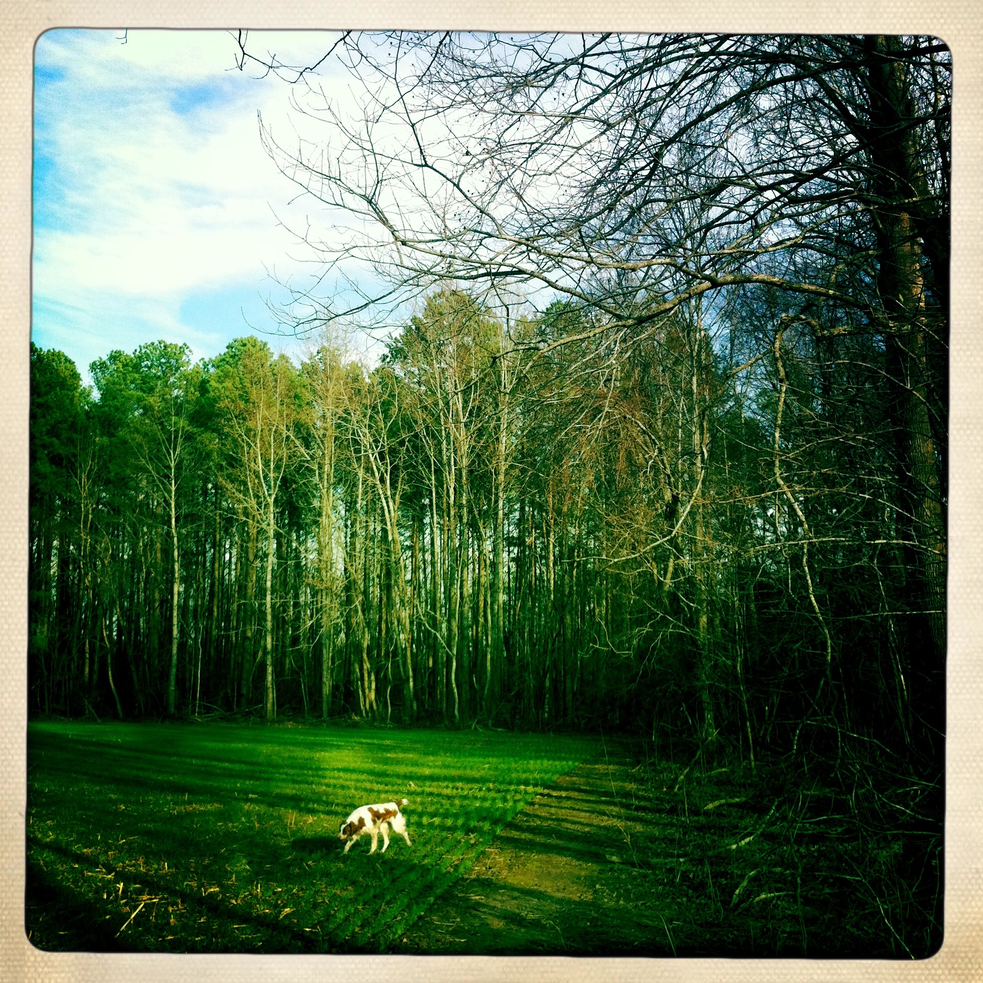
Dog in the field
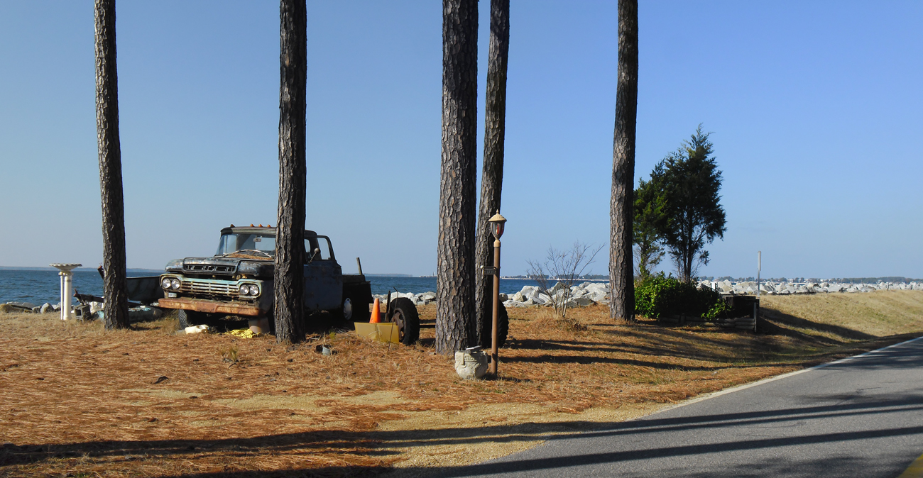
Old Truck Under the St. George Island Pines
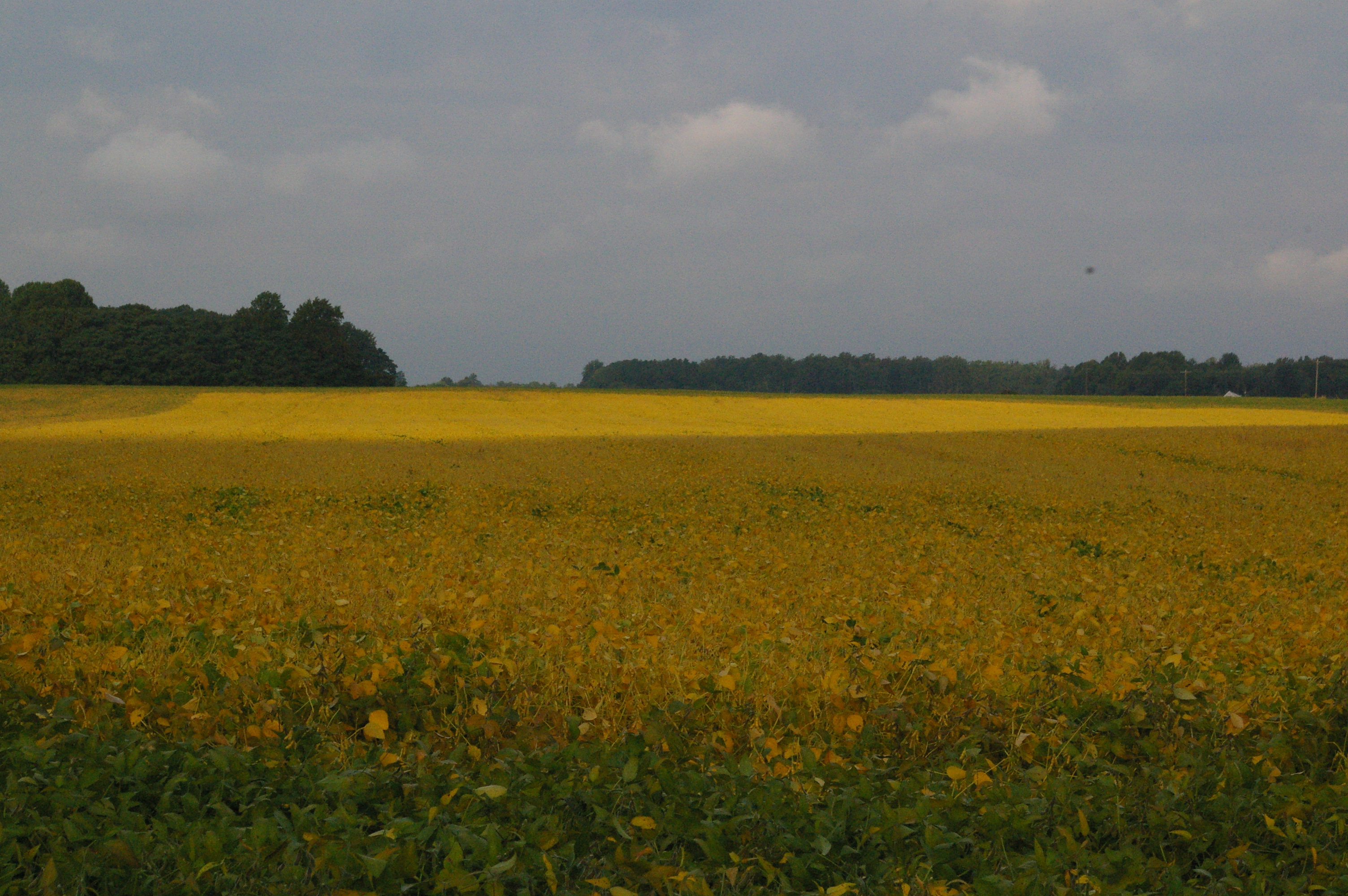
Soybean Field

Northern Neck Sunset

Soybean Field
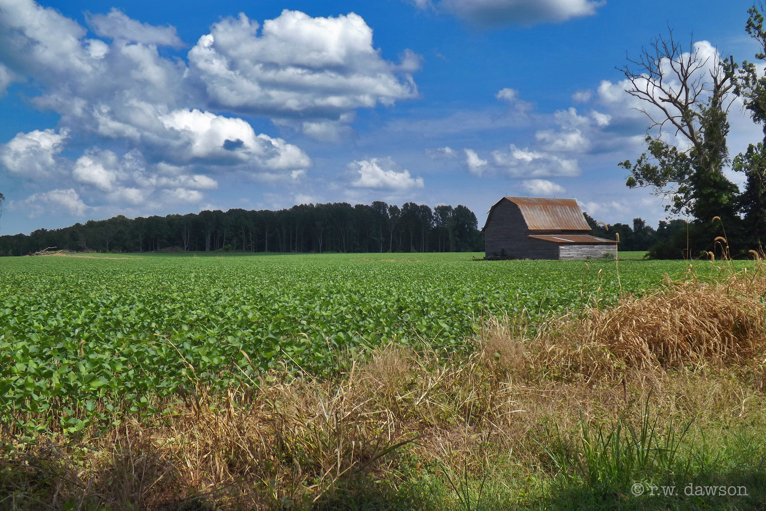
Barn on Rowes Landing Road
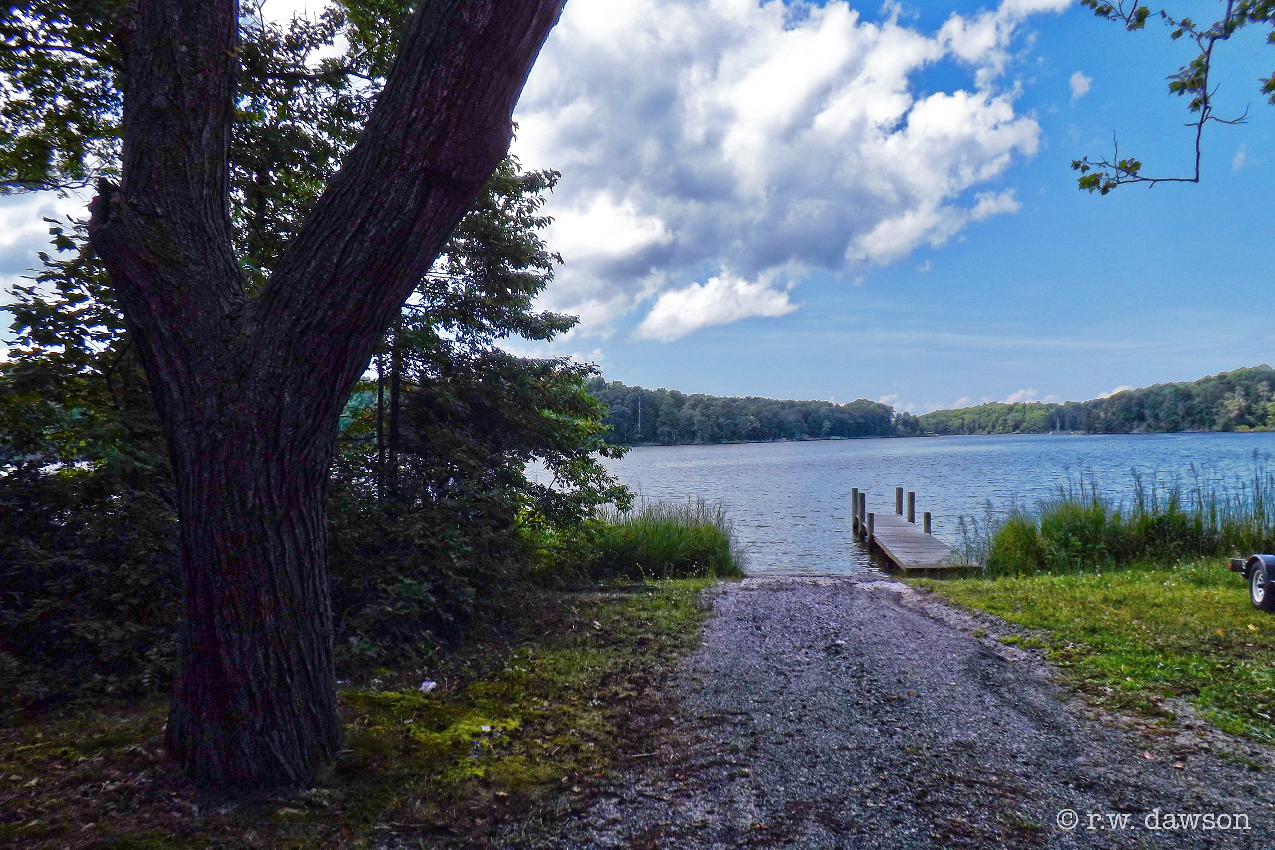
Boat Ramp at Rowes Landing

Sunset at Coan River, Northern Neck, VA.jpg
St. George Island Pines
Topographic Map of 43 Holly Ct, Lottsburg, VA, USA
Find elevation by address:

Places near 43 Holly Ct, Lottsburg, VA, USA:
33 Holly Ct
553 Pine Point Dr
Harryhogan Rd, Callao, VA, USA
336 Potomac Shore Dr
Callao
Richmond Rd, Callao, VA, USA
760 Bay Quarter Dr
604 Parker Dr
Great House Road
Skipjack Rd, Kinsale, VA, USA
76 Great House Rd
Kinsale
Camp Merryelande Vacation Cottages
Thomas Rd, Piney Point, MD, USA
9, St. George Island
16255 Thomas Rd
Saint George Island
Tucker Hill Road
16394 Thomas Rd
16500 Ball Point Rd
Recent Searches:
- Elevation of Corso Fratelli Cairoli, 35, Macerata MC, Italy
- Elevation of Tallevast Rd, Sarasota, FL, USA
- Elevation of 4th St E, Sonoma, CA, USA
- Elevation of Black Hollow Rd, Pennsdale, PA, USA
- Elevation of Oakland Ave, Williamsport, PA, USA
- Elevation of Pedrógão Grande, Portugal
- Elevation of Klee Dr, Martinsburg, WV, USA
- Elevation of Via Roma, Pieranica CR, Italy
- Elevation of Tavkvetili Mountain, Georgia
- Elevation of Hartfords Bluff Cir, Mt Pleasant, SC, USA