Elevation of Pine Point Dr, Heathsville, VA, USA
Location: United States > Virginia > Northumberland County > Heathsville >
Longitude: -76.4438402
Latitude: 37.9805391
Elevation: 2m / 7feet
Barometric Pressure: 0KPa
Related Photos:

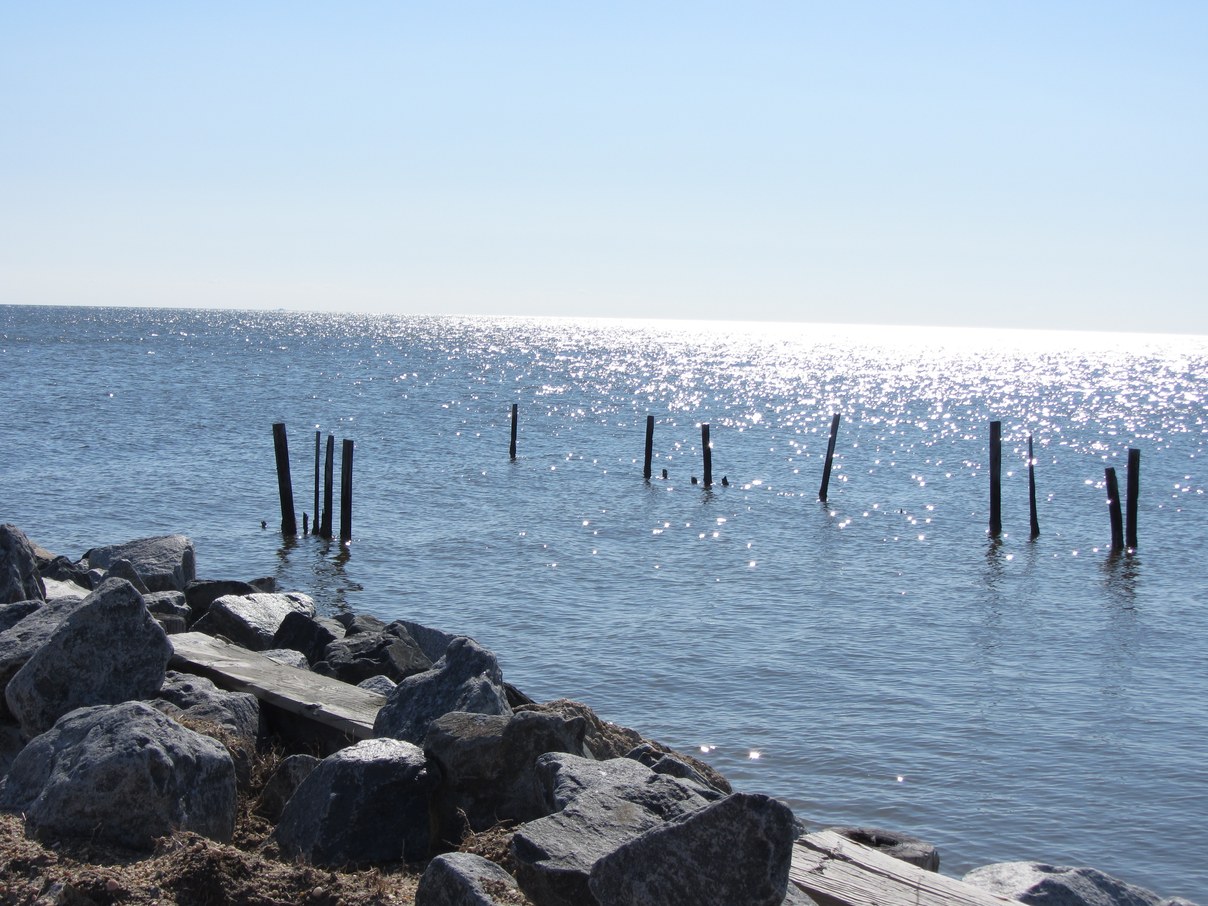
Lighthouse - Point Lookout MD
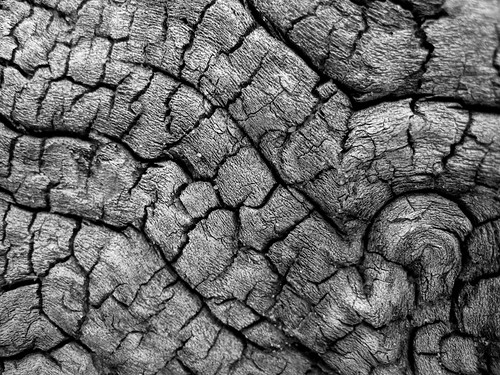
Driftwood Texture 2

Driftwood Texture 3

Old Friends
All I Saw At Point Lookout

Point of View

Harris Farm - Heathsville, Virginia

Wood Thrush
The View from Point Lookout
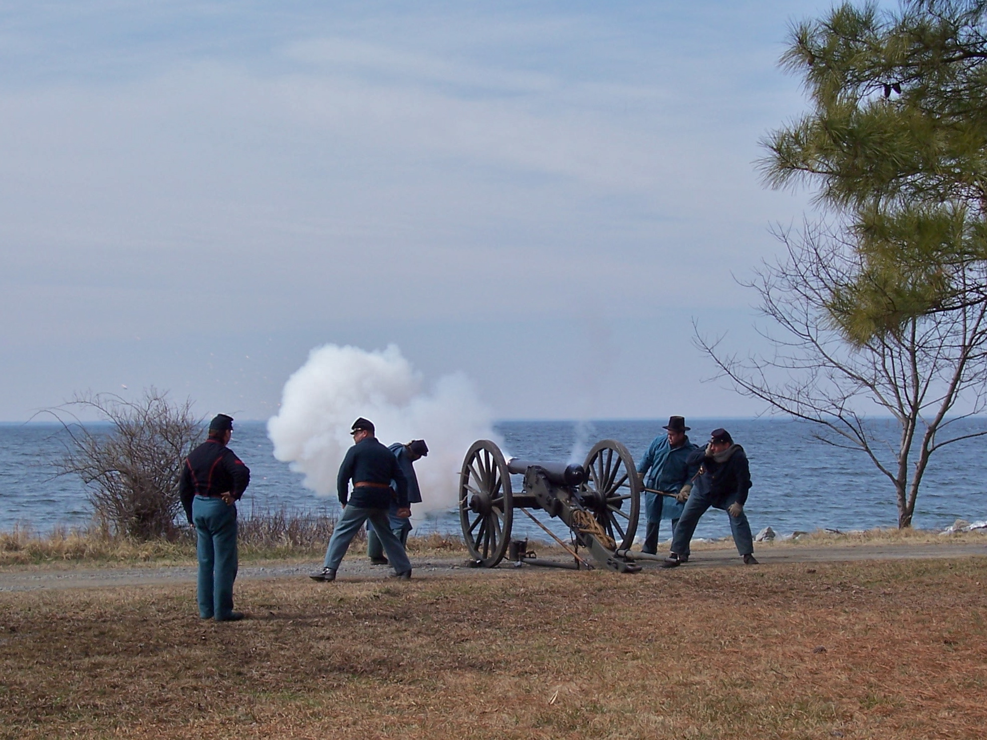
Pulling the Lanyard

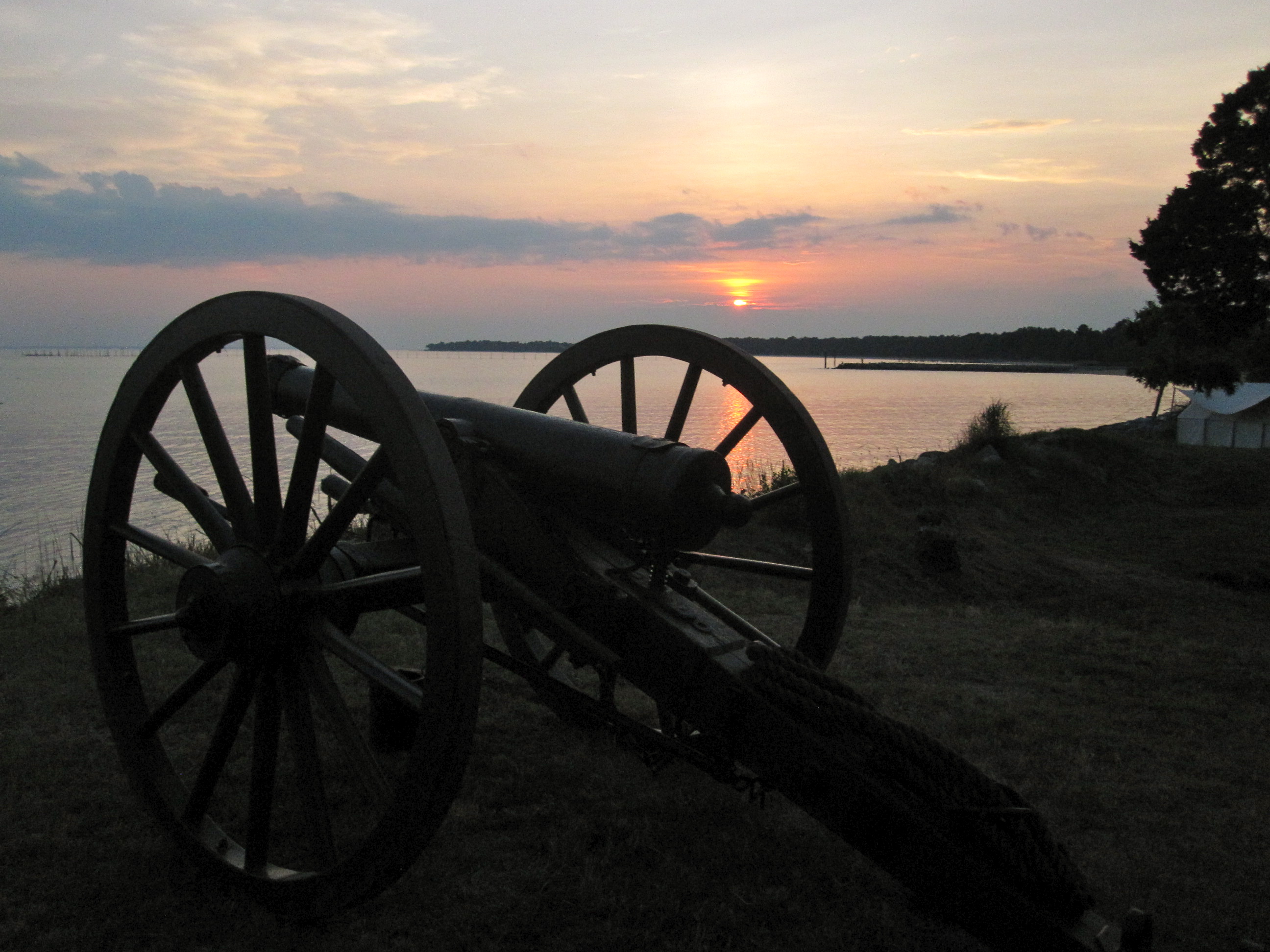
5. Limber Chest & Ammo
Down Range
Wood Stork
Damage Survey (video)
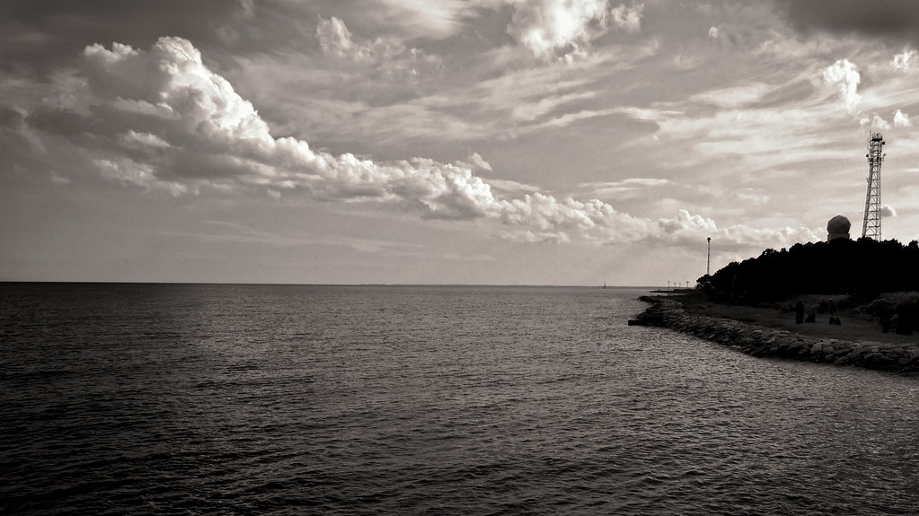
Potomac Sunset View
Potomac Sunset View
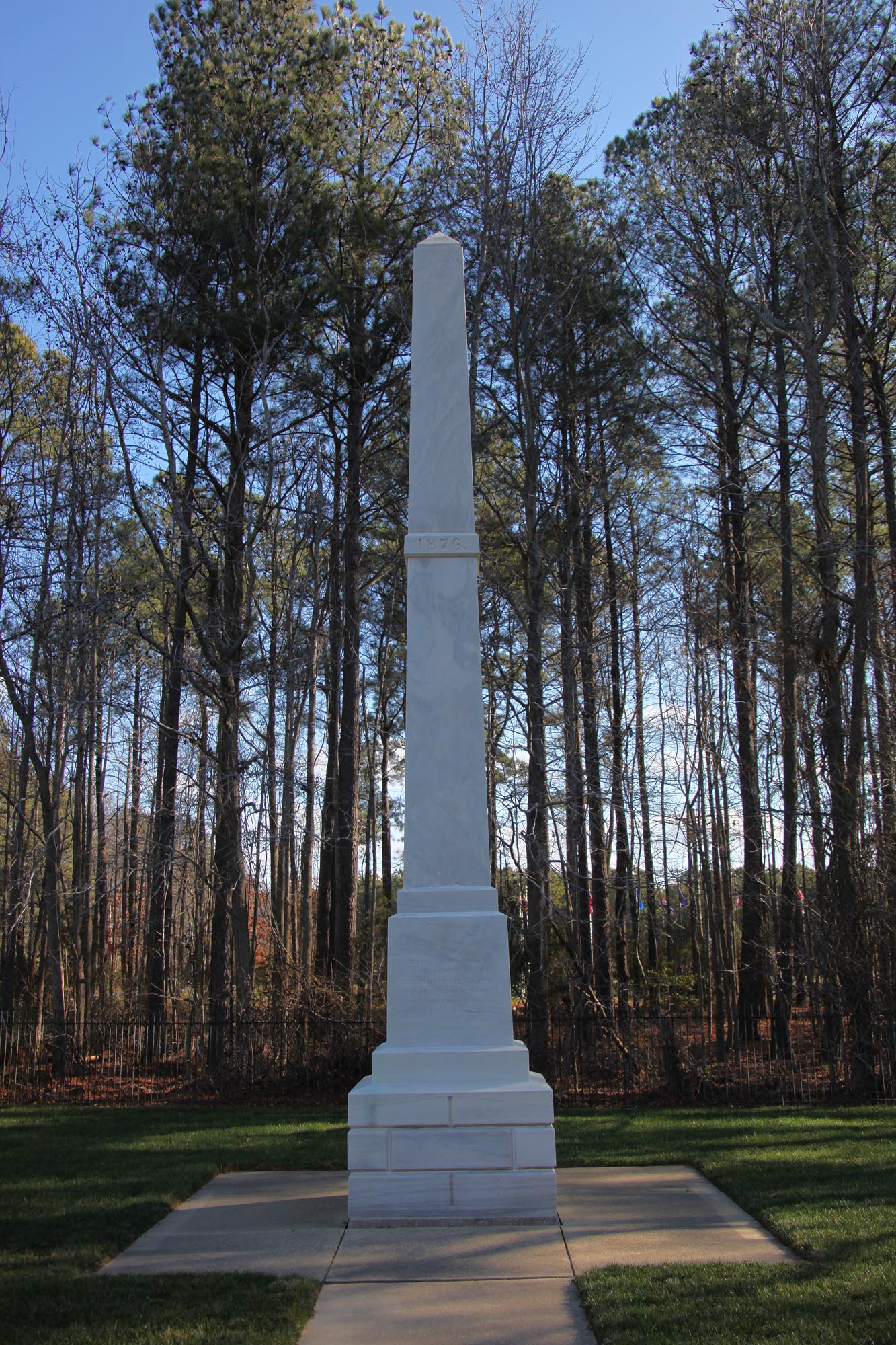
Confederate Cemetery Monument state - Point Lookout MD
85/365, "48", Good Morning, Sunshine
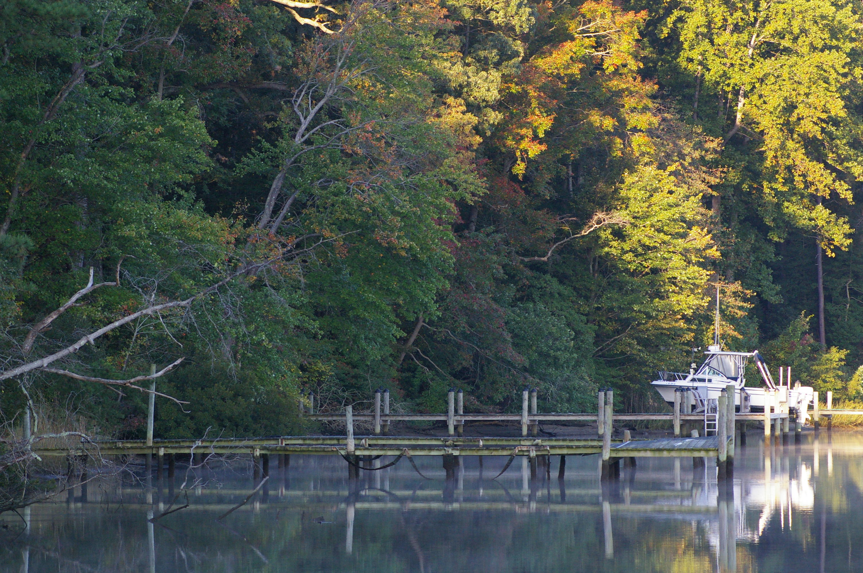
Rowes Landing at Sunrise

Great Horned Owl at sunset

Rowes Landing at Sunrise
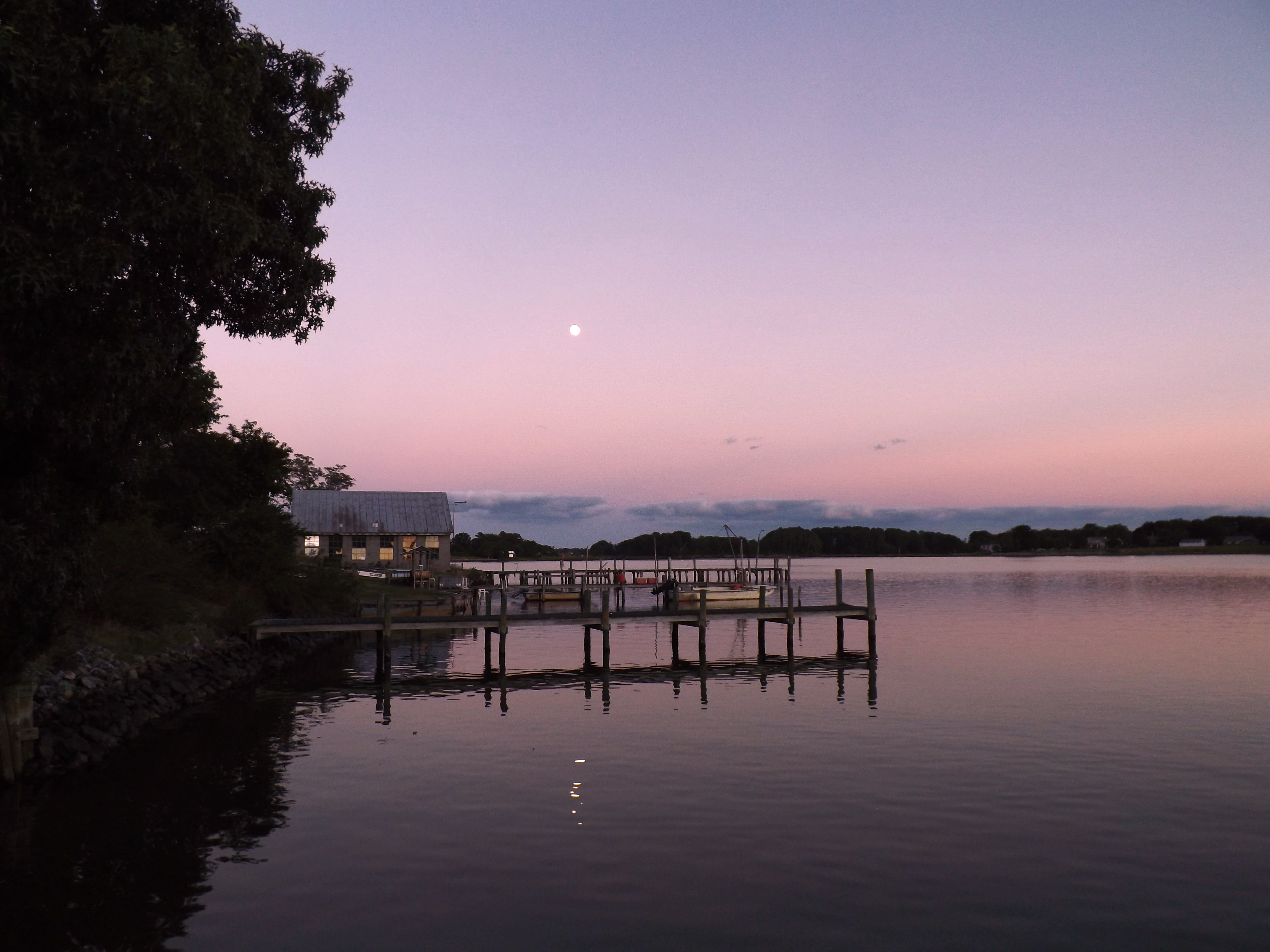
Moon Rising as seen from Krentz Marina, Northumberland County, VA

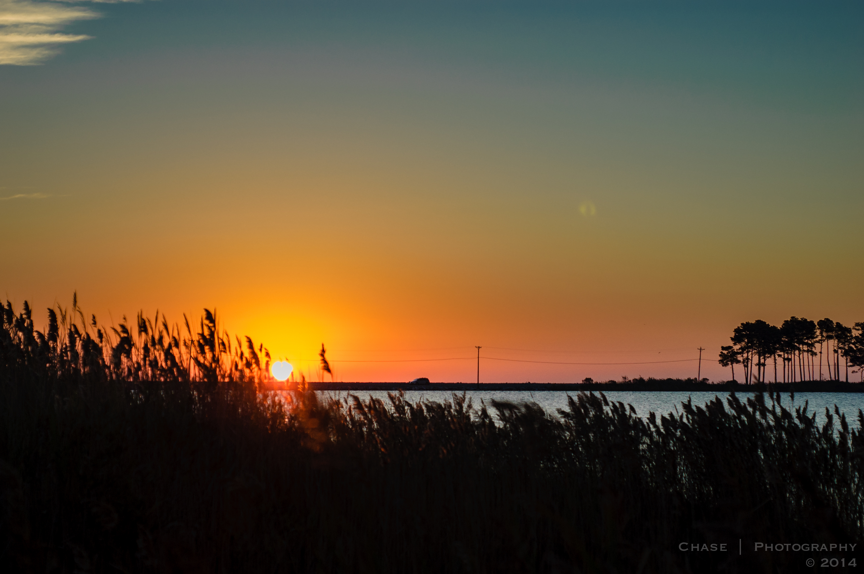
Sunset at Point Lookout
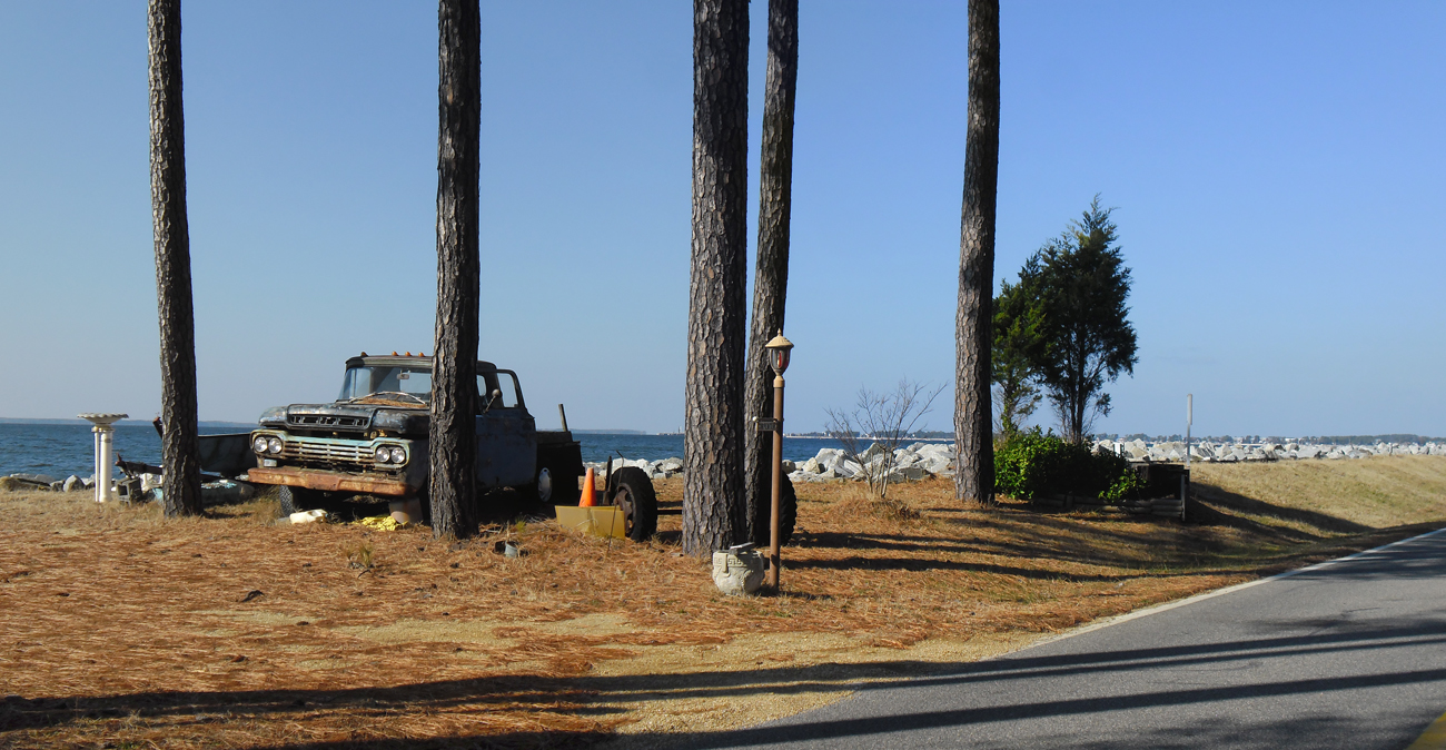
Old Truck Under the St. George Island Pines
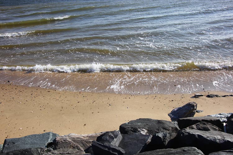
Atlantic Ocean beach and breakwater - Point Lookout Maryland - 2012-01-15
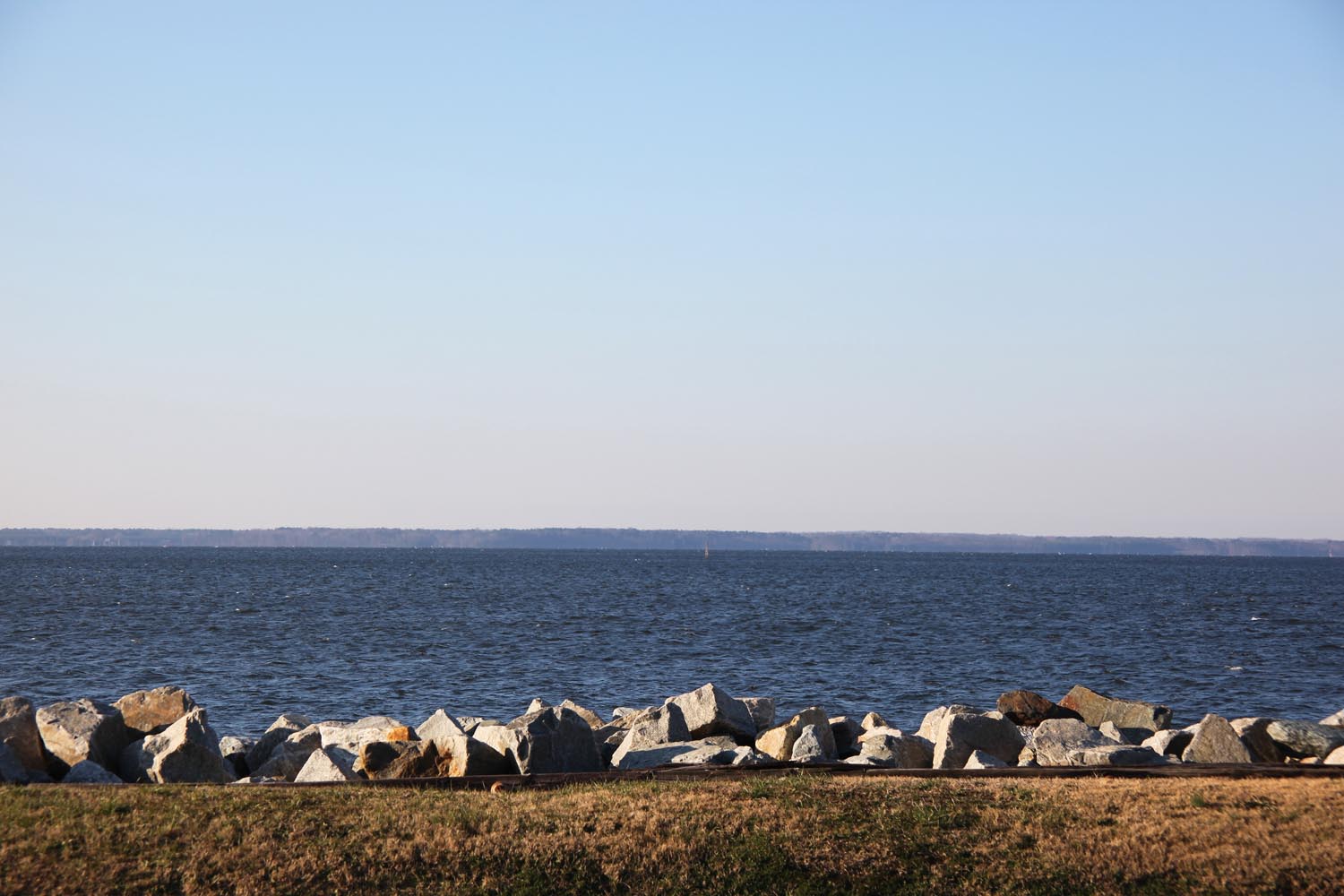
Looking S across mouth of Potomac River at Virginia - Point Lookout Maryland - 2012-01-15
20180825_23 Walls60

iphone 8-1 002 (2)

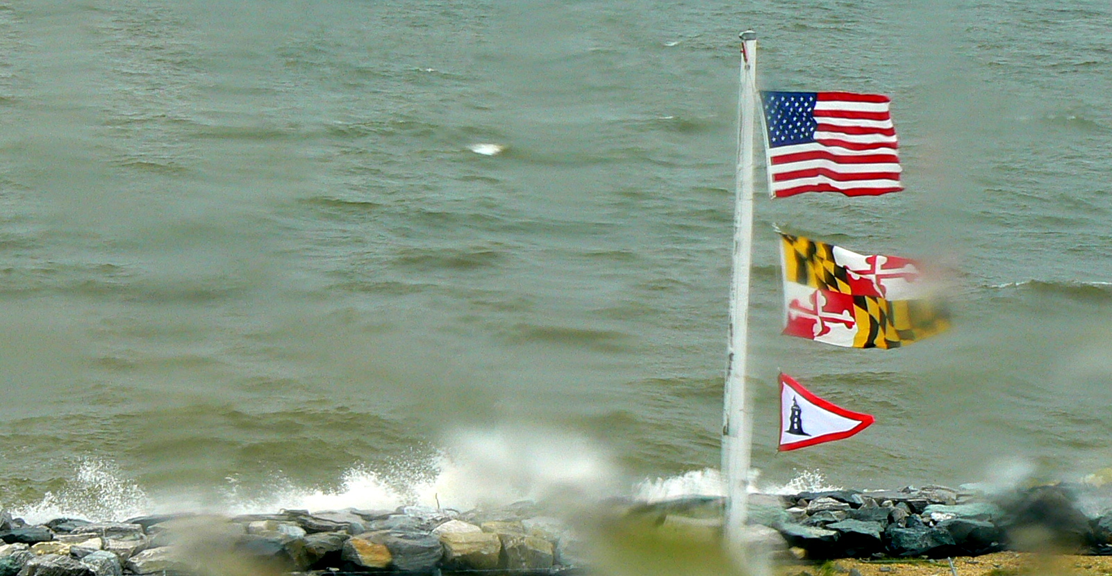
Maryland Shore
Lake Conoy, Point Lookout State Park
Maryland state Confederate Cemetery Memorial 02 - Point Lookout Maryland - 2012-01-15

Solomons Island Trip
Lake Conoy, Point Lookout State Park
Spring Break - Scotland, MD (71)

Virginia's Far Shore

iphone 8-1 003 (2)
Topographic Map of Pine Point Dr, Heathsville, VA, USA
Find elevation by address:

Places near Pine Point Dr, Heathsville, VA, USA:
336 Potomac Shore Dr
760 Bay Quarter Dr
43 Holly Ct
33 Holly Ct
Harryhogan Rd, Callao, VA, USA
604 Parker Dr
49662 Potomac River Dr
Callao
49664 Potomac River Dr
Richmond Rd, Callao, VA, USA
Cornfield Harbor Drive
Skipjack Rd, Kinsale, VA, USA
Camp Merryelande Vacation Cottages
Thomas Rd, Piney Point, MD, USA
Point Lookout State Park
Wynne Rd, Ridge, MD, USA
Scotland
16255 Thomas Rd
11421 Point Lookout Rd
9, St. George Island
Recent Searches:
- Elevation of 10370, West 107th Circle, Westminster, Jefferson County, Colorado, 80021, USA
- Elevation of 611, Roman Road, Old Ford, Bow, London, England, E3 2RW, United Kingdom
- Elevation of 116, Beartown Road, Underhill, Chittenden County, Vermont, 05489, USA
- Elevation of Window Rock, Colfax County, New Mexico, 87714, USA
- Elevation of 4807, Rosecroft Street, Kempsville Gardens, Virginia Beach, Virginia, 23464, USA
- Elevation map of Matawinie, Quebec, Canada
- Elevation of Sainte-Émélie-de-l'Énergie, Matawinie, Quebec, Canada
- Elevation of Rue du Pont, Sainte-Émélie-de-l'Énergie, Matawinie, Quebec, J0K2K0, Canada
- Elevation of 8, Rue de Bécancour, Blainville, Thérèse-De Blainville, Quebec, J7B1N2, Canada
- Elevation of Wilmot Court North, 163, University Avenue West, Northdale, Waterloo, Region of Waterloo, Ontario, N2L6B6, Canada
- Elevation map of Panamá Province, Panama
- Elevation of Balboa, Panamá Province, Panama
- Elevation of San Miguel, Balboa, Panamá Province, Panama
- Elevation of Isla Gibraleón, San Miguel, Balboa, Panamá Province, Panama
- Elevation of 4655, Krischke Road, Schulenburg, Fayette County, Texas, 78956, USA
- Elevation of Carnegie Avenue, Downtown Cleveland, Cleveland, Cuyahoga County, Ohio, 44115, USA
- Elevation of Walhonding, Coshocton County, Ohio, USA
- Elevation of Clifton Down, Clifton, Bristol, City of Bristol, England, BS8 3HU, United Kingdom
- Elevation map of Auvergne-Rhône-Alpes, France
- Elevation map of Upper Savoy, Auvergne-Rhône-Alpes, France