Elevation of Parker Dr, Kinsale, VA, USA
Location: United States > Virginia > Westmoreland County > Cople > Kinsale >
Longitude: -76.541273
Latitude: 38.0394177
Elevation: 7m / 23feet
Barometric Pressure: 101KPa
Elevation Map:
Satellite Map:
Related Photos:

St Ignatius

Harris Farm - Heathsville, Virginia

2009JEK0220620.jpg

View of the Potomac River

2009JEK0220623.jpg

Driftwood Texture 2

Driftwood Texture 3

Potomac River Fog

Driftwood Texture 1

Potomac River Fog

3850 View of Statue and Grounds

3820 View Towards Dock

3821 View to Right of Dock

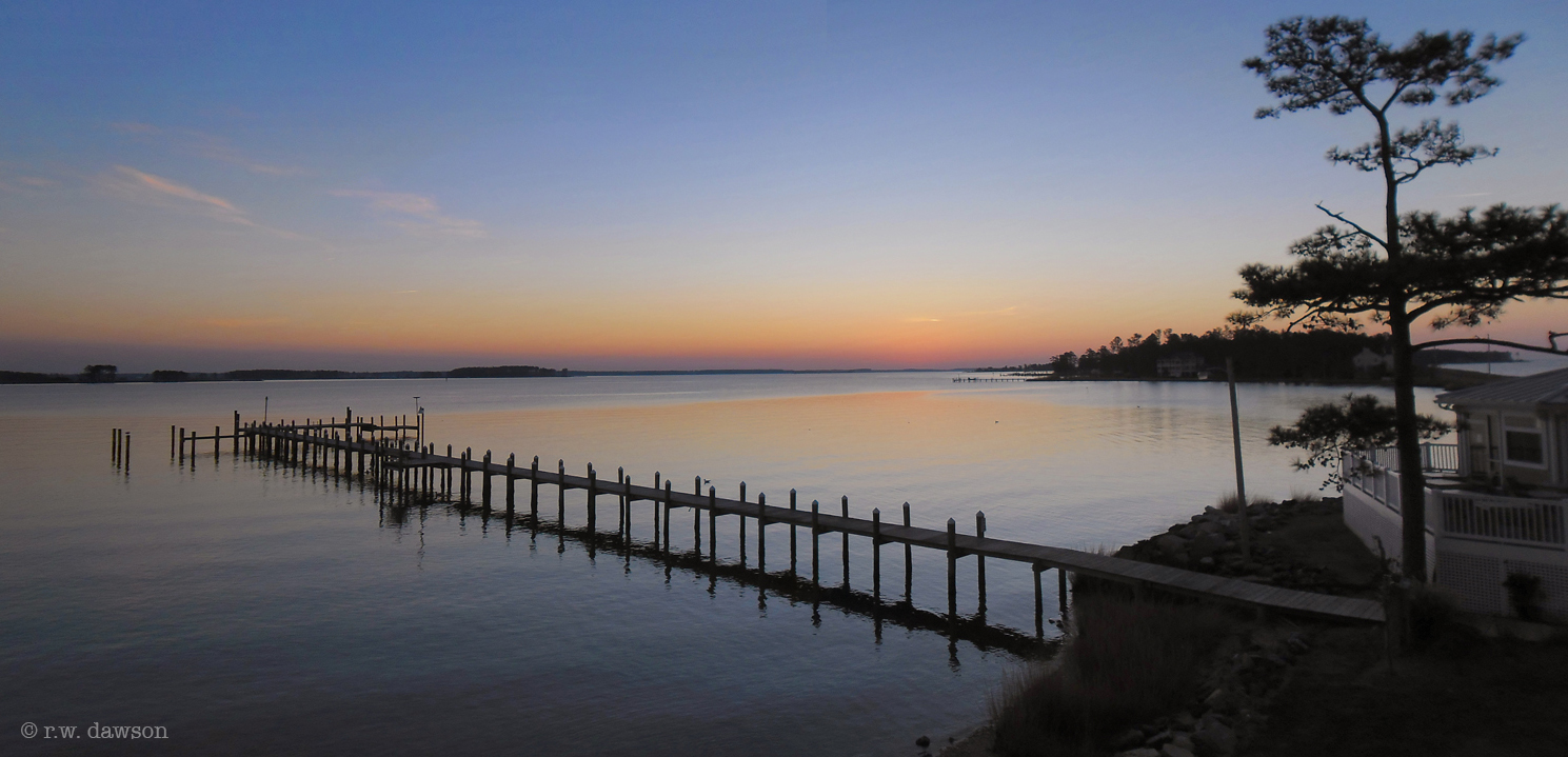
The House on the Point

only halfway

Sunrise 02 - looking E across St George Creek - St Georges Island Maryland - 2012-01-15

Drive-by

Morning Fog on the Potomac at St. George Island

Barn on Rowes Landing Road

Piney Point Shoreline

Boat Ramp at Rowes Landing

Old House
Crack Of Dawn

Walnut Point

Tank Farm

Sunset at Coan River, Northern Neck, VA.jpg

Old Truck Under the St. George Island Pines

sunset sunday
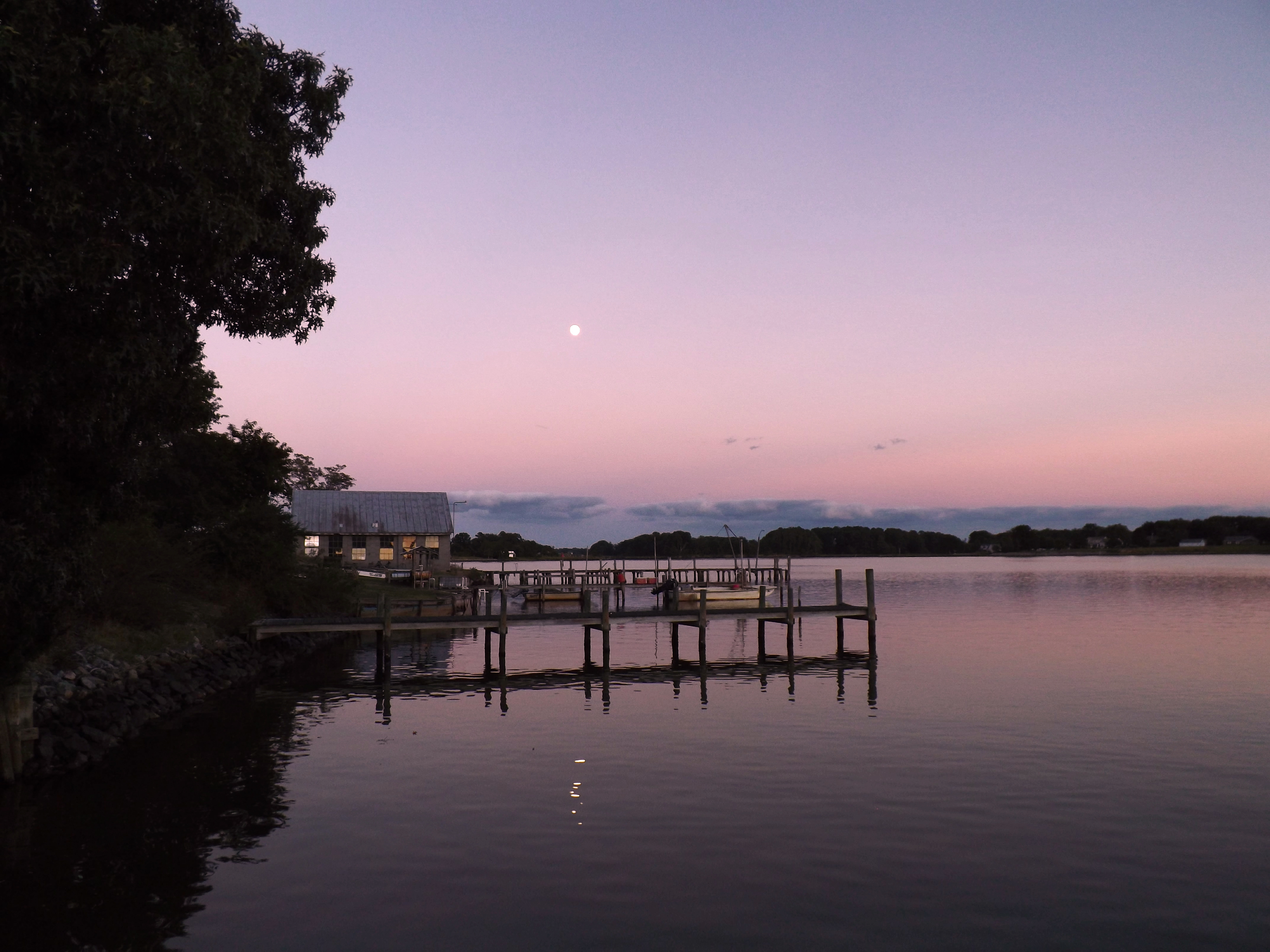
Moon Rising as seen from Krentz Marina, Northumberland County, VA

Looking N across St George Creek - St Georges Island Maryland - 2012-01-15

Morning 01 - looking N across St George Creek - St Georges Island Maryland - 2012-01-15
Topographic Map of Parker Dr, Kinsale, VA, USA
Find elevation by address:

Places near Parker Dr, Kinsale, VA, USA:
Skipjack Rd, Kinsale, VA, USA
Harryhogan Rd, Callao, VA, USA
Great House Road
76 Great House Rd
Kinsale
Tucker Hill Road
Callao
Richmond Rd, Callao, VA, USA
33 Holly Ct
43 Holly Ct
9, St. George Island
Camp Merryelande Vacation Cottages
Saint George Island
16255 Thomas Rd
16394 Thomas Rd
Thomas Rd, Piney Point, MD, USA
569 Safe Harbor Landing
16500 Ball Point Rd
16983 Piney Point Rd
17268 Larimer St
Recent Searches:
- Elevation of Corso Fratelli Cairoli, 35, Macerata MC, Italy
- Elevation of Tallevast Rd, Sarasota, FL, USA
- Elevation of 4th St E, Sonoma, CA, USA
- Elevation of Black Hollow Rd, Pennsdale, PA, USA
- Elevation of Oakland Ave, Williamsport, PA, USA
- Elevation of Pedrógão Grande, Portugal
- Elevation of Klee Dr, Martinsburg, WV, USA
- Elevation of Via Roma, Pieranica CR, Italy
- Elevation of Tavkvetili Mountain, Georgia
- Elevation of Hartfords Bluff Cir, Mt Pleasant, SC, USA