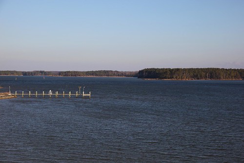
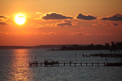
Elevation of Tucker Hill Road, Tucker Hill Rd, Cople, VA, USA

Location: United States > Virginia > Westmoreland County > Cople > Kinsale >

Longitude: -76.601559

Latitude: 38.072739

Elevation: 13m / 43feet

Barometric Pressure: 101KPa

Elevation Map:

elevation map of Tucker Hill Road, Tucker Hill Rd, Cople, VA, USA

Satellite Map:

Satellite map of Tucker Hill Road, Tucker Hill Rd, Cople, VA, USA

Related Photos:

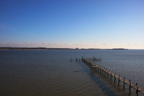
stgeorgeisland stmaryscounty maryland md island potomacriver river dock pier
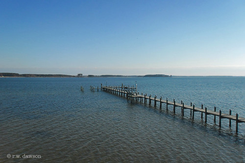
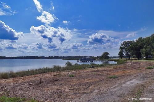
View of the Potomac River
View my friends back yard, not bad
piney point lighthouse light house museum potomac river saintmarys county maryland
Potomac River Fog
piney point lighthouse light house museum potomac river saintmarys county maryland
Potomac River Fog
rochester house chesapeake sahara architecture buildings rochesterhouse westmorelandcounty virginia unitedstates
2009JEK0220620.jpg
rochester house chesapeake architecture buildings rochesterhouse westmorelandcounty virginia unitedstates
2009JEK0220623.jpg
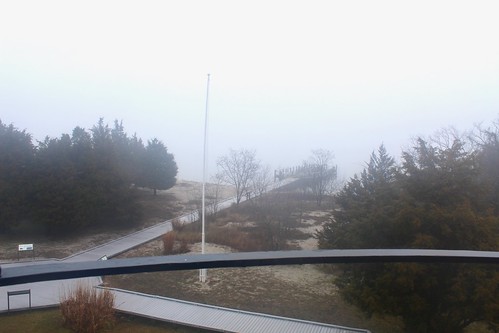
3850 View of Statue and Grounds
3820 View Towards Dock
3821 View to Right of Dock
panorama fog landscape island pier us maryland potomac potomacriver 2012
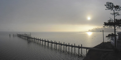
Morning Fog on the Potomac at St. George Island
stmaryscounty maryland md usa shoreline beach potomacriver piney point
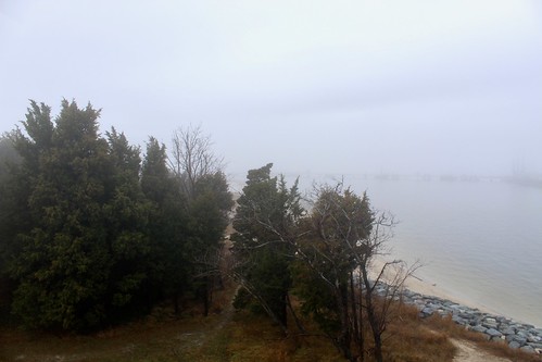
Piney Point Shoreline
ocean film beach bay dock chesapeakebay fujisuperia400 pineypoint pentaxzx7
only halfway
old house home beautiful landscape island us maryland oldhouse 2012 oldhome
Old House
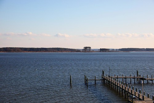
stgeorgeisland stmaryscounty maryland md island crackofdawn potomacriver river pier dock
Crack Of Dawn
northumberland countyvirginia va usa northernneck walnutpoint waterway potomacriver boat landscape
Walnut Point
stmaryscounty maryland md usa pineypoint tankfarm marchland
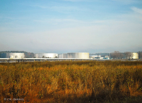
Tank Farm
sunset virginia northernneck heathsvillevirginia coanriver
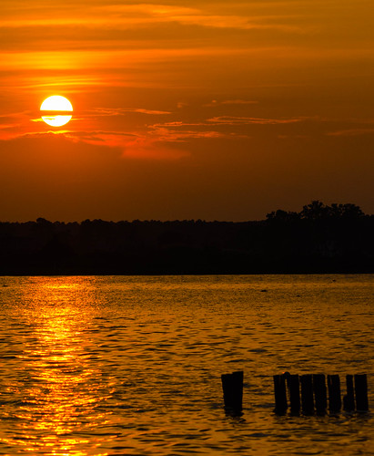
Sunset at Coan River, Northern Neck, VA.jpg
old sky tree abandoned beautiful truck landscape island us bluesky potomac potomacriver 2012
Old Truck Under the St. George Island Pines
sunset sunday
sunset moon color beautiful river landscape boats virginia pier us purple va nightphoto northumberlandcounty 2013
Moon Rising as seen from Krentz Marina, Northumberland County, VA
pointlookoutmaryland
Looking N across St George Creek - St Georges Island Maryland - 2012-01-15
pointlookoutmaryland
Morning 01 - looking N across St George Creek - St Georges Island Maryland - 2012-01-15
pointlookoutmaryland
Morning 02 - looking N across St George Creek - St Georges Island Maryland - 2012-01-15
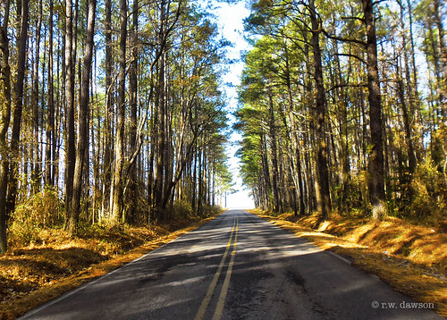
stgeorgeisland stmaryscounty maryland md island road pines
St. George Island Pines
pointlookoutmaryland
Looking NE across St Georges Creek - St Georges Island Maryland - 2012-01-15
stgeorgesislandmaryland
Sunrise - Island Inn - St Georges Island MD
pointlookoutmaryland
Sunrise 02 - looking E across St George Creek - St Georges Island Maryland - 2012-01-15
pointlookoutmaryland
Sunset 01 - looking SW across Potomac River - St Georges Island Maryland - 2012-01-14
stgeorgesislandmaryland
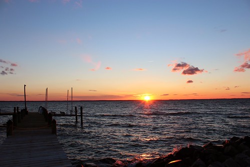
Sunset - St Georges Island MD - 2012-01-14